


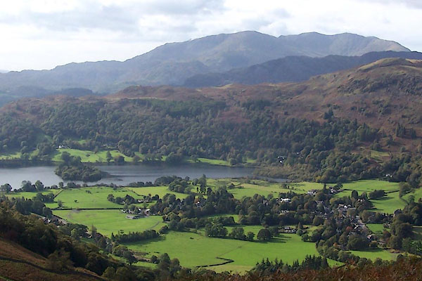
BRS32.jpg (taken 7.10.2009)

Click to enlarge
BRS31.jpg (taken 7.10.2009)
placename:- Grasmere
OS County Series (Wmd 26 1)
placename:- Grosener
"And also the wayes leadynge to the / most notable places: and the dy- / staunce betwyxte the / same / Anno. 1544"
"Here foloweth the waye fro~ Coker / mouth to lancastre, and so to London. / From Cokermouth to Kyswike. vi myle. / from Kyswike to Grosener. viii. myle. / from Grosener to Kendale. xiiii. myle. / from Kendale to Burton. vii. myle. / from Burton to Lancastre. viii. myle. / ..."
placename:- Grosmer
 click to enlarge
Lld1Cm.jpg
"Grosmer"
item:- Hampshire Museums : FA1998.69
Image © see bottom of page
placename:- Gresmere
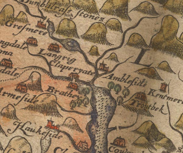
Sax9NY30.jpg
Church, symbol for a parish or village, with a parish church. "Gresmere"
Settlement.
item:- private collection : 2
Image © see bottom of page
placename:- Gresmere

MER5WmdA.jpg
"Gresmere"
circle
item:- Armitt Library : 2008.14.3
Image © see bottom of page
placename:- Gresmere
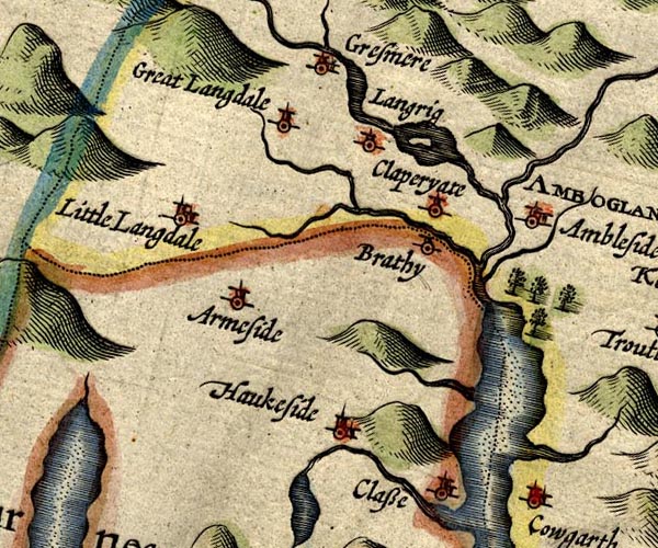
SP14NY30.jpg
"Gresmere"
circle, building and tower
item:- Armitt Library : 2008.14.5
Image © see bottom of page
placename:- Gresmere
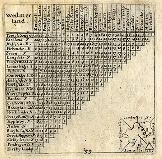 click to enlarge
SIM3.jpg
"Gresmere N.W."
and tabulated distances
item:- private collection : 50.39
Image © see bottom of page
placename:- Gresmere
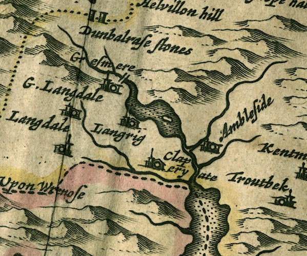
JAN3NY30.jpg
"Gresmere"
Buildings and tower.
item:- JandMN : 88
Image © see bottom of page
placename:- Gresmere
"Gresmere"
placename:- Grassmore
"Grassmore"
placename:- Gresmere
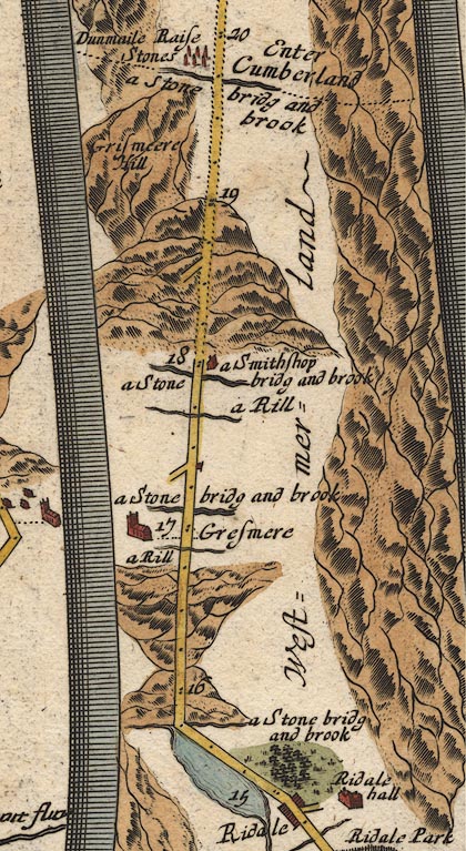
OG96m015.jpg
In mile 16, Westmerland. "Gresmere"
a church on the left of the road.
item:- JandMN : 22
Image © see bottom of page
placename:- Gresmere
 click to enlarge
SEL7.jpg
"Gresmere"
circle, italic lowercase text; settlement or house
item:- Dove Cottage : 2007.38.87
Image © see bottom of page
placename:- Gresmere
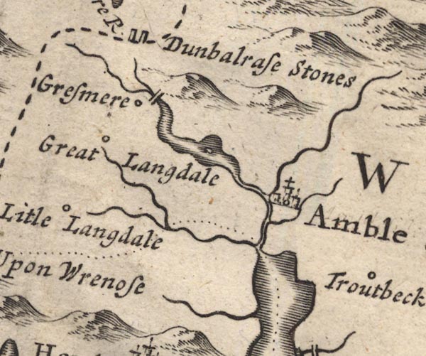
MD12NY30.jpg
"Gresmere"
Circle.
item:- JandMN : 90
Image © see bottom of page
placename:- Gresmere
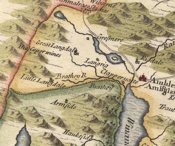
MD10NY30.jpg
"Gresmere"
Circle.
item:- JandMN : 24
Image © see bottom of page
placename:- Gresmere
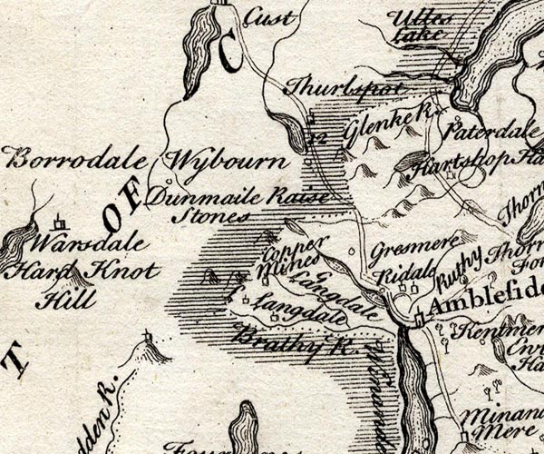
SMP2NYF.jpg
"Gresmere"
Circle.
item:- Dove Cottage : 2007.38.59
Image © see bottom of page
placename:- Gresmere
 goto source
Page 1021:- "It [Winander Mere] extends itself like a Sea on the West Side from North-bridge on the South, where it contracts itself again into a River to Gresmere North."
placename:- Gresmere
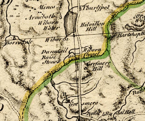
BO18NY20.jpg
"Gresmere / R"
circle, building and tower, rectory
item:- Armitt Library : 2008.14.10
Image © see bottom of page
placename:- Gresmer
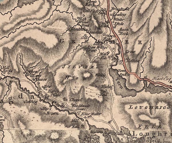
J5NY30NW.jpg
"GRESMER"
area
item:- National Library of Scotland : EME.s.47
Image © National Library of Scotland
 goto source
Page 81:- "... [Mr Gray] '... from the shore [of Grasmere], a low promontory pushes itself far into the water, and on it stands a white village, with a parish church rising in the midst of it; ..."
 goto source
Addendum; Mr Gray's Journal, 1769
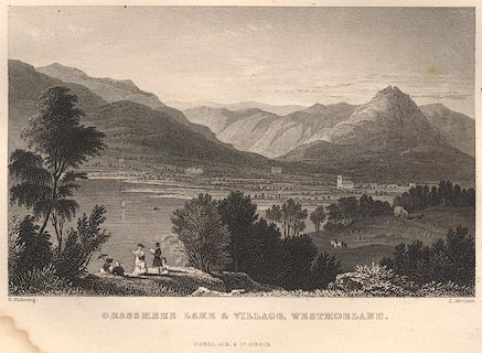
Page 211:- "... [from Dunmail Raise] ... from the shore [of Grasmere] a low promontory pushes itself far into the water, and on it stands a white village, with the parish church rising in the midst of it; hanging inclosures, corn-fields and meadows, green as an emerald, with their trees, and hedges, and cattle, fill up the whole space from the edge of the water; and just opposite to you is a large farm house, at the bottom of a deep smooth lawn, embosomed in old woods, which climb half way up the mountains' sides, and discover above them a broken line of crags that crown the scene. Not a single red tile, no gentleman's flaring house, or garden walls, break in upon the repose of this little unsuspected paradise; but all its peace, rusticity, and happy poverty, in its neatest, most becoming attire."
placename:- Grasmere
CL9NY20Z.jpg
"GRASMERE"
item:- private collection : 10.9
Image © see bottom of page
 goto source
placename:- Grassmere
placename:- Gresmere
 goto source
Page 120:- "..."
"I shall here give an extract from Mr Gray's journal, (because I would wish to be thought impartial in every description.)"
""... Just beyond it [Helm Crag] opens one of the sweetest landscapes that art ever attempted to imit[ate]: the bosom of the mountains spreading here into a broad bason, discovers in the midst Grassmere-Water; ... a low promontory pushes itself far into the water, and on it stands a white village with the parish church rising in the midst of it; hanging inclosures, corn-fields, and meadows with their trees, hedges, and cattle, fill up the whole space from the edge of the water; and just opposite to you is a large farm house at the bottom of a steep smooth lawn, embosomed in old woods, which climb half way up the mountain's side, and discover above them a broken line of craggs that crown the scene. Not a single red tile, no gentleman's floring-house or garden breaks in upon the repose of this little unsuspected paradise; but all is peace, rusticity, and happy poverty, in its neatest, most becoming attire." Mr Gray's description is pretty accurate, but this sublime way of writing (as Mr West calls it) is not my province; a guide ought, in my opinion, to be merely narrative. I admire this little place very much myself, and I think here is a station for the artist, equal, if not superior to any in this part. It is upon the side of a round hill called Butter-lip-how; Mr Farrington has taken one of his lately published from below Tail-end, which looks exceeding well; but in this you have a church, and adjoining it an arched bridge, which are certainly great additions in the front of a landscape; behind them the Lake, with the island upon it, appearing very distinctly, with wooded banks behind them: on each side of the lake is a road; one leading to Ambleside, the other to Hawkshead; at the back of all a very high mountain spotted with rubbish from the slate quarries thereon, and not at too great a distance."
"In this little amphitheatre may be found several good stations for the landscape painter, and a sweet retired situation for the studious mind; only it is at rather too great a distance from any open country or good market town; the streams for fishing are small, and the want of (variety which is always the case in little places) soon cloys the imagination."
"Grassmere, or Gresmere, is part of the great barony of Kendale, and is leased of the crown by the Earl of Lonsdale: when Queen Catherine, wife of Charles the II. held Grassmere, we find it consisted of both the Marquis and Richmond fees; for by an inquisition the 28th of Charles the II. she held thirty-nine customary tenements in Grassmere of the Marquis's fee, of the yearly rent of 11l. 6s. 2d. and thirty-five tenements in Grassmere of Richmond fee, of the yearly rent of 6l. 12s. 4d. also forest silver 2l. 4s. 5d. Brewfarm eight-pence, Goldwether seven-pence, with heriot service."
 goto source
Page 121:- "Queen Elizabeth got possession of both, and King James the I. granted the whole to his son the Prince of Wales to support his princely dignity. ..."
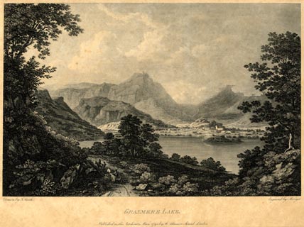 click to enlarge
PR1852.jpg
printed, bottom left, right, centre "Drawn by J. Smith. / Engraved by Merigot. / GRASMERE LAKE. / Published as the Act directs, May, 1795, by Rd. Blamire, Strand, London."
item:- Armitt Library : 2011.67
Image © see bottom of page
placename:- Grasmere
 click to enlarge
GRA1Lk.jpg
"Grasmere"
locality
item:- Hampshire Museums : FA2000.62.5
Image © see bottom of page
 goto source
Gentleman's Magazine 1805 p.1010 "... passed Loughrigg Tarn, a Lake not larger than an orchard-pond, and descended by a steep and narrow track into that glorious amphitheatre of rock, which shuts in the little peaceful vale of Grasmere. Here Nature has worked with the hand of an Enchantress, and I do not envy the Philosopher his feelings who can pass it without emotion. For myself, I could only exclaim with the Poet, "Sic meae sedes utinam Senectae." the white church shot up its taper spire from among a group of scattered cottages at the remotest corner of the valley. This presented a pastoral landscape, rich in trees and cattle; and finished with all the minuteness of a pencil; while the Lake, like a sheet of polished silver, reflected every leaf in its bosom. Here too, is a green islet, but it is subject to the undisputed dominion of the water-fowl. In such a spot, where nothing is to be seen or heard that can disturb the interest derived from Nature, it is surely not surprising, if some distaste should be excited to the bustle of commerce and the "busy hum of men." ..."
placename:- Grassmere
item:- population
 goto source
"..."
"GRASSMERE, a parish in Kendal ward, Westmoreland, 3 miles from Ambleside, and 277 from London; containing 57 houses and 270 inhabitants. From the top of Grassmere hill is a most beautiful prospect. The church stands at a small distance from Grassmere water or lake, on the side of the river Rothay. The living is a rectory, value 28l. 11s. 5d."
"..."
placename:- Grasmere
 click to enlarge
COP4.jpg
"Grasmere"
circle; village or hamlet
item:- Dove Cottage : 2007.38.53
Image © see bottom of page
placename:- Grasmere
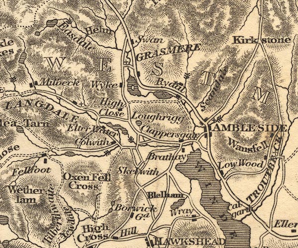
OT02NY30.jpg
"GRASMERE"
item:- JandMN : 48.1
Image © see bottom of page
item:- geology
 goto source
Page 155:- "The SECOND division [of slate rocks] comprehends the mountains of Eskdale, Wasdale, Ennerdale, Borrowdale, Langdale, Grasmere, Patterdale, Martindale, Mardale, and some adjacent places; including the two highest mountains of the district, Scawfell and Helvellyn, as well as the Old Man at Coniston. All our fine towering crags belong to it; and most of the cascades among the lakes fall over it. There are indeed some lofty precipices in the former division; ..."
"..."
placename:- Grasmere
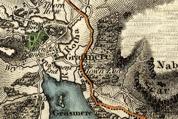
grw5grsm.jpg
"Grasmere"
street map; labelled in lower case for a parish or township.
item:- Armitt Library : A1827
Image © see bottom of page
placename:- Grasmere
 goto source
Page 42:- "..."
"... felicitously described by the master-hand of Wordsworth:"
"'- So we descend; and winding round a rock,
Attain a point that showed the valley; stretch'd
In length before us, and not distant far,
Upon a rising ground, a grey church-tower,
Whose battlements were screened by tufted trees.
And, tow'rds a crystal mere, that lay beyond
Among steep hills and woods embosomed, flow'd
A copious stream with boldly-winding course;
Here traceable, there hidden - there again
To sight restor'd, and glittering in the sun.
On the stream's bank, and every where, appear'd
Fair dwellings, single or in social knots;
Some scattered o'er the level, others perch'd
On the hill-side, a cheerful quiet scene,
Now in its morning purity array'd.'"
 goto source
Page 163:- "..."
"GRASMERE is a mile beyond Rydal, and is surrounded by an amphitheatre of mountains, from any elevated situations on which, and wherever"
 goto source
Page 164:- "chosen, romantic views may be obtained of this most lovely vale and its green-enamelled lake, with the fine old church and the white-washed houses shining out from amidst their wood-girt enclosures. The Swan Inn stands by the road-side, and a little distant on the left, near the church, is the Red Lion. Both these inns will afford sufficient accommodation for a tourist, disposed to journey into the hidden beauties of this and its auxiliary vale of Easedale. ..."
placename:- Grasmere
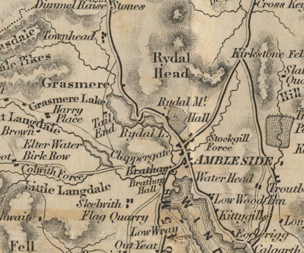
FD02NY30.jpg
"Grasmere"
item:- JandMN : 100.1
Image © see bottom of page
placename:- Grasmere
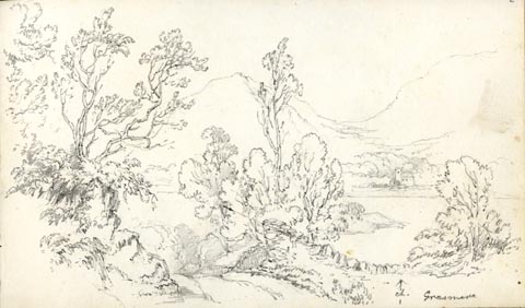 click to enlarge
AS0502.jpg
"Grasmere"
page number "2"
item:- Armitt Library : 1958.389.2
Image © see bottom of page
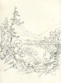 click to enlarge
AS0503.jpg
page number "2+"
item:- drawing
Armitt Library : 1958.389.3
Image © see bottom of page
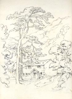 click to enlarge
AS0504.jpg
page number "3"
item:- Armitt Library : 1958.389.4
Image © see bottom of page
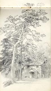 click to enlarge
AS0505.jpg
page number "4"
item:- drawing
Armitt Library : 1958.389.5
Image © see bottom of page
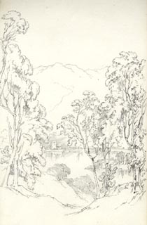 click to enlarge
AS0506.jpg
page number "5"
item:- Armitt Library : 1958.389.6
Image © see bottom of page
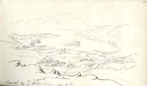 click to enlarge
AS0564.jpg
"from the top of Helm Crag. / see p.7"
page number "48"
item:- Armitt Library : 1958.389.64
Image © see bottom of page
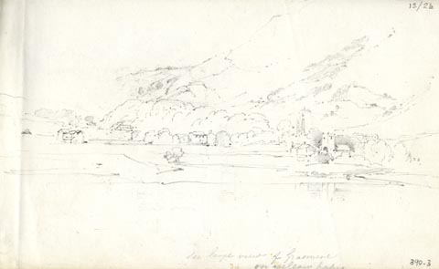 click to enlarge
AS0303.jpg
"See large view of Grasmere / on yellow paper."
page number "13/2b"
item:- Armitt Library : 1958.390.3
Image © see bottom of page
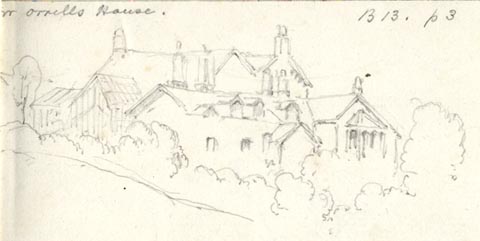 click to enlarge
AS0304.jpg
"Mr Orrells House. / B13. 1P3"
page number "13/2C / r"
item:- Armitt Library : 1958.390.4
Image © see bottom of page
 click to enlarge
AS0305.jpg
"[arrow down] Mr Orrells / see p 70"
"Apl. 16. 1852"
page number "(3)"
item:- Armitt Library : 1958.390.5
Image © see bottom of page
placename:- Grasmere
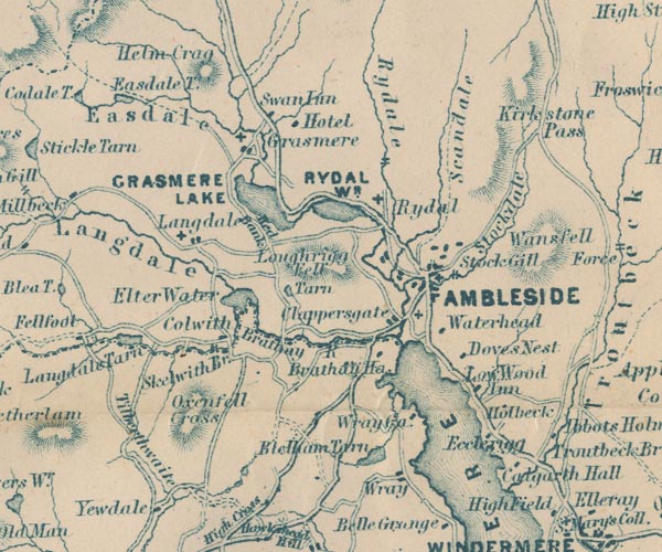
GAR2NY30.jpg
"Grasmere"
blocks, settlement, and a cross, a church
item:- JandMN : 82.1
Image © see bottom of page
 Martineau Directory 1855
item:- placename, Grasmere; wild boar
 goto source
Page 49:- "... At the further end [of Grasmere lake] lies the village, with its old square church tower, beneath whose shadow Wordsworth is buried. ..."
 goto source
Page 163:- "... Grasmere and Grisedale have the same derivation,- Gris being the old Saxon for wild swine: and these are therefore the lake and the valley of the wild boar. A deep and still retreat must both have been in the days of wild boars."
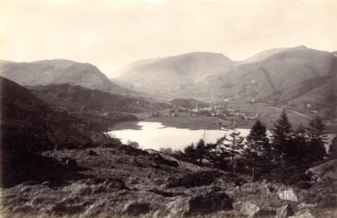 click to enlarge
HB0869.jpg
internegative at lower left:- "H. Bell"
item:- Armitt Library : ALPS540
Image © see bottom of page
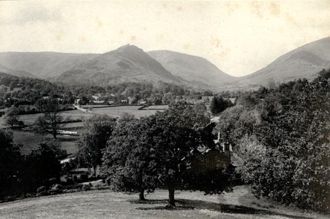 click to enlarge
HB0559.jpg
stamped on reverse:- "HERBERT BELL / Photographer / AMBLESIDE"
item:- Armitt Library : ALPS219
Image © see bottom of page
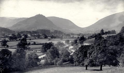 click to enlarge
HB0566.jpg
stamped on reverse:- "HERBERT BELL / Photographer / AMBLESIDE"
item:- Armitt Library : ALPS226
Image © see bottom of page
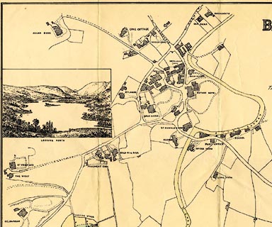
placename:- Grasmere
 click to enlarge
M084Vil3.jpg
item:- Armitt Library : 1959.195
Image © see bottom of page
item:- gravestone
MSN1P020.txt
Page 20:- "..."
"... Grasmere ... The grave of Wordsworth is in the village churchyard. ..."
placename:- Grasmere
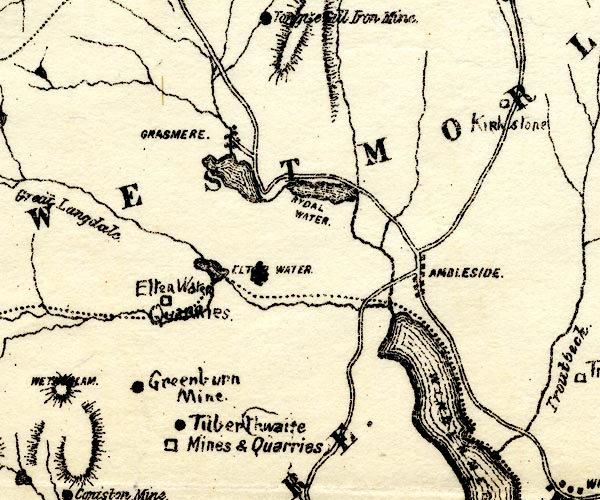
PST2NY30.jpg
"GRASMERE"
dots, roads
item:- JandMN : 162.2
Image © see bottom of page
placename:-
"... At the northern end of the lake is Grasmere village, a great place of literary pilgrimage, for Wordsworth is buried in the churchyard. But Grasmere village is also resorted to for the famous lakeland sports held here."
 Post Office maps
placename:- Grasmere
 click to enlarge
PS1E04.jpg
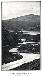
On p.7 of Pearson's Gossipy Guide to the English Lakes and Neighbouring Districts.
printed at bottom:- "GRASMERE FROM THE OLD ROAD. (P.153). / (Silver Howe in the distance.)"
item:- Armitt Library : A1188.11
Image © see bottom of page
placename:- Grasmere
 click to enlarge
HUD1M1.jpg
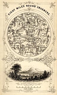
Map, uncoloured engraving, Eight Miles round Grasmere, engraved by W Banks, Edinburgh, published by John Hudson, Kendal, Westmorland, 1853.
Circular map, with a vignette view of Grasmere lake and Helm Crag below.
Tipped in opp p.58 in A Complete Guide to the Lakes, edited John Hudson.
printed at top:- "EIGHT MILES ROUND GRASMERE."
printed at bottom:- "W. Banks, sc. Edinr."
item:- JandMN : 327.4
Image © see bottom of page
 click to enlarge
R156.jpg
item:- JandMN : 66.12
Image © see bottom of page
: Austin, Hubert J
: Paley, Henry A
 |
NY34220849 Above Beck (Lakes) |
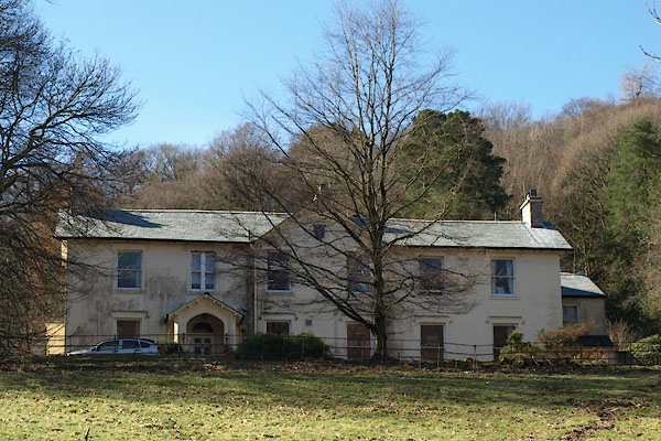 |
NY33340769 Allan Bank (Lakes) L |
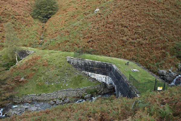 |
NY34500847 aqueduct, Grasmere (Lakes) |
 |
NY34120840 Beck Houses (Lakes) |
 |
NY33750755 Beck Islands (Lakes) |
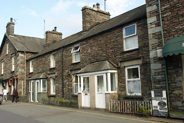 |
NY33730761 Becksteps Cottages (Lakes) L |
 |
NY33620919 Belle Vue (Lakes) |
 |
NY34170821 Ben Place (Lakes) |
 |
NY327085 Blindthorn (Lakes) suggested |
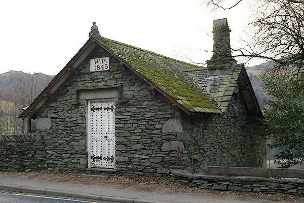 |
NY34160684 boat house, Grasmere (Lakes) L |
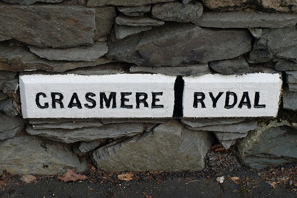 |
NY34180685 boundary stone, Grasmere |
 |
NY34340719 Brackenfell (Lakes) |
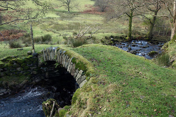 |
NY33180988 bridge, Lakes (3) (Lakes) |
 |
NY32280690 Brigstone Moss (Lakes) |
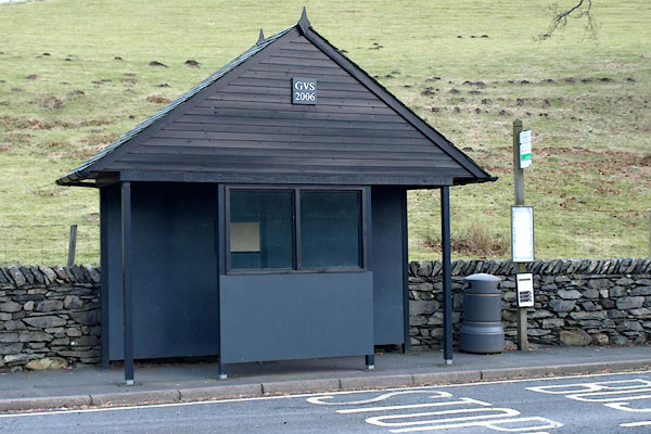 |
NY34180684 bus stop, Grasmere (Lakes) |
 |
NY33600792 Butharlyp Howe (Lakes) |
 |
NY32330801 Cat Bield (Lakes) |
 |
NY34720722 Chapel Green (Lakes) |
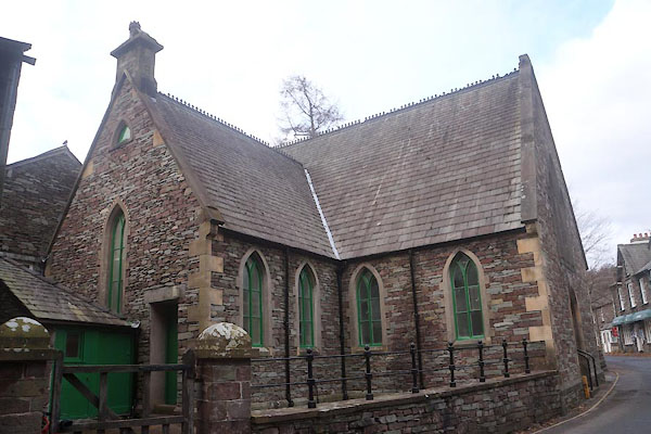 |
NY33710757 (Lakes) |
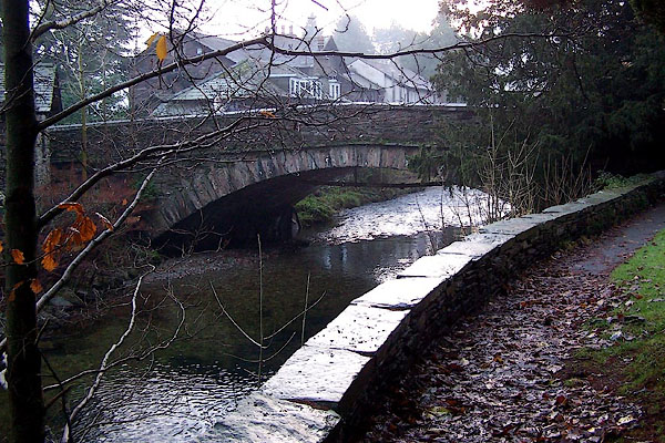 |
NY33740735 Church Bridge (Lakes) L |
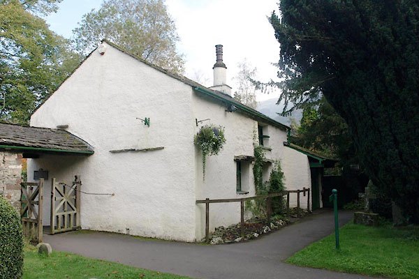 |
NY33740743 Church Stile Cottage (Lakes) L |
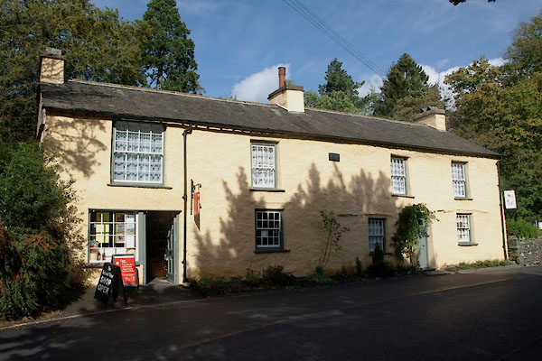 |
NY33700743 Church Stile Studio (Lakes) L |
 |
NY33730749 Church Town (Lakes) |
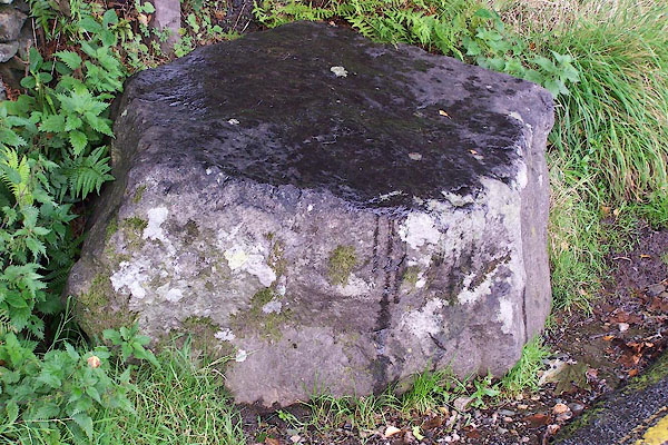 |
NY34330683 coffin rest, Grasmere (Lakes) |
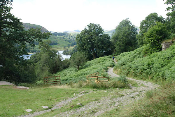 |
NY30 Ambleside to Grasmere (Lakes) |
 |
NY33140669 Covel Wood (Lakes) |
 |
NY34360690 Crag Side (Lakes) |
 |
NY33610618 Dale End (Lakes) |
 |
NY33620744 Dale Lodge Hotel (Lakes) |
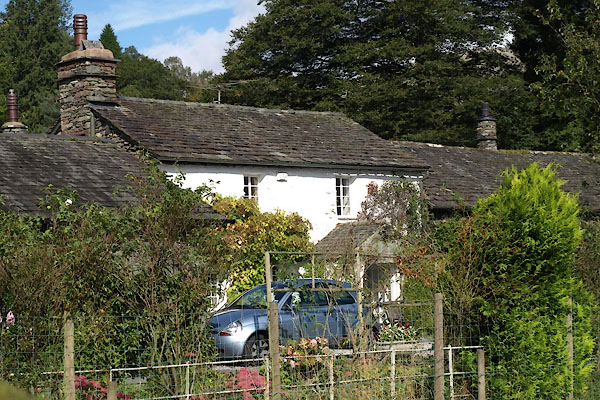 |
NY33670770 Dockray Cottage (Lakes) L |
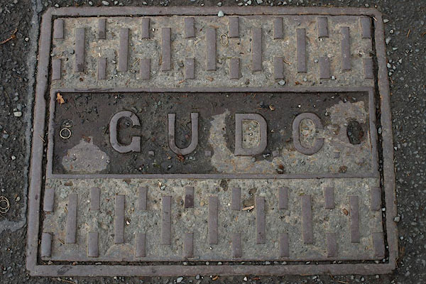 |
NY33720744 drain, Grasmere (Lakes) |
 |
NY34440671 Dry Close (Lakes) |
 |
NY32670849 Easedale House (Lakes) |
 |
NY33930817 Fairy Glen (Lakes) |
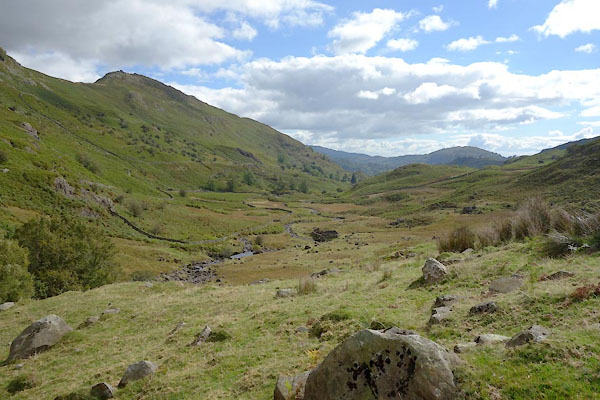 |
NY31890950 Far Easedale (Lakes) |
 |
NY33490794 Fieldside (Lakes) |
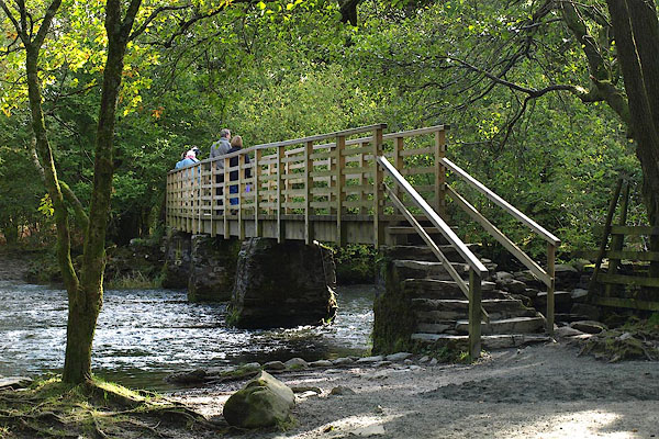 |
NY34810626 footbridge, Grasmere (Lakes) |
 |
NY34220821 Forest Side Cottage (Lakes) L |
 |
NY34260808 Forest Side (Lakes) |
 |
NY344080 Forest Side (Lakes) |
 |
NY34540807 Forestside Plantation (Lakes) |
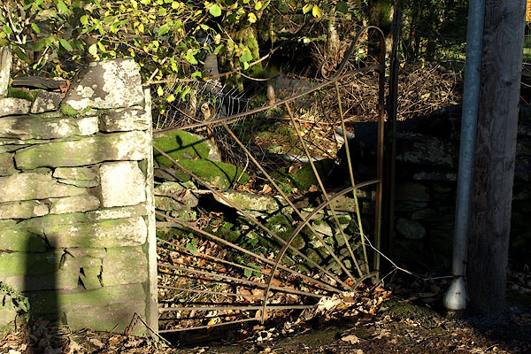 |
NY33310806 gate, Grasmere (Lakes) |
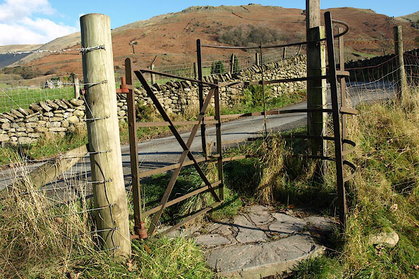 |
NY33420913 gate, Grasmere (2) (Lakes) |
 |
NY33220703 Gell Cottage (Lakes) |
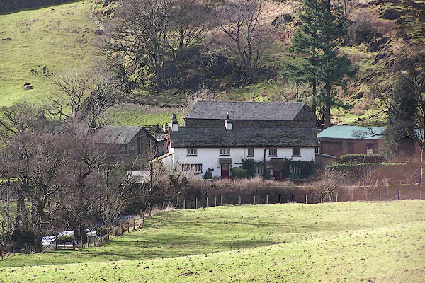 |
NY33190954 Ghyll Foot (Lakes) L |
 |
NY33200955 Gill Side (Lakes) suggested |
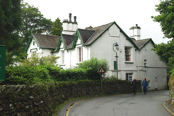 |
NY33520788 Glenthorne (Lakes) |
 |
NY33210809 Goody Bridge (Lakes) |
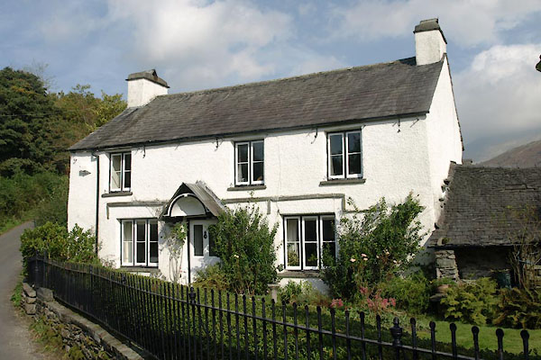 |
NY33290816 Goodybridge House (Lakes) L |
 |
NY33280840 Grandy Close (Lakes) |
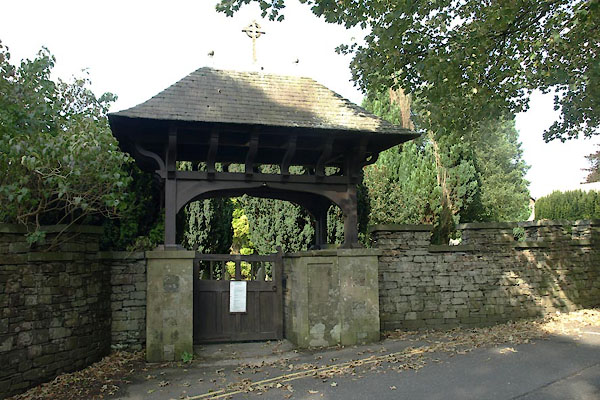 |
NY33840832 Grasmere Cemetery (Lakes) |
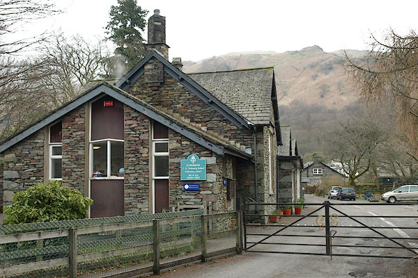 |
NY33880735 Grasmere CofE Primary School (Lakes) |
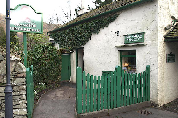 |
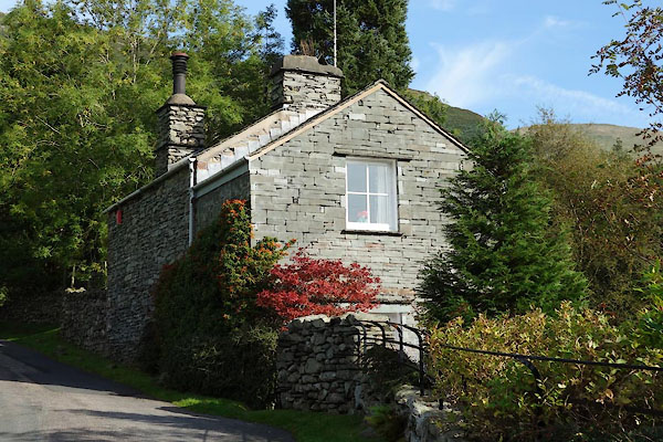
NY33740744 Grasmere Gingerbread (Lakes) |
 |
NY33560915 Grasmere Mill (Lakes) |
 |
NY3308 Grasmere Stone Circle (Lakes) |
 |
NY33680791 Grasmere Youth Hostel (Lakes) |
 |
NY336075 W Baldry estate agent (Lakes) |
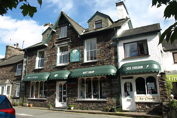 |
NY33720762 Beck Steps gift shop etc (Lakes) |
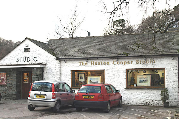 |
NY33660761 Heaton Cooper Studio (Lakes) |
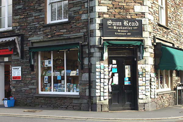 |
NY33710763 Sam Read Bookseller (Lakes) |
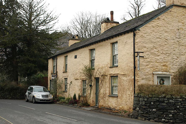 |
NY33720741 Taffy Thomas storyteller (Lakes) |
 |
NY33800838 Greatcross Cottages (Lakes) |
 |
NY34170833 Green Head (Lakes) |
 |
NY34750767 Grey Crag (Lakes) |
 |
NY34180770 Grove Cottage (Lakes) |
 |
NY32700789 Hagg Wood (Lakes) |
 |
NY33300839 Helm Chase (Lakes) |
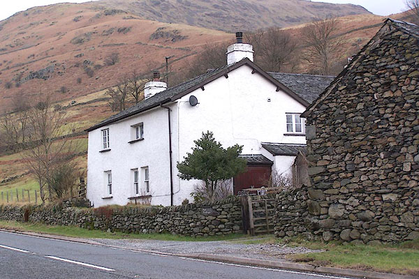 |
NY33530944 High Broadrain (Lakes) L |
 |
NY32970780 High Scorecrag Farm (Lakes) L |
 |
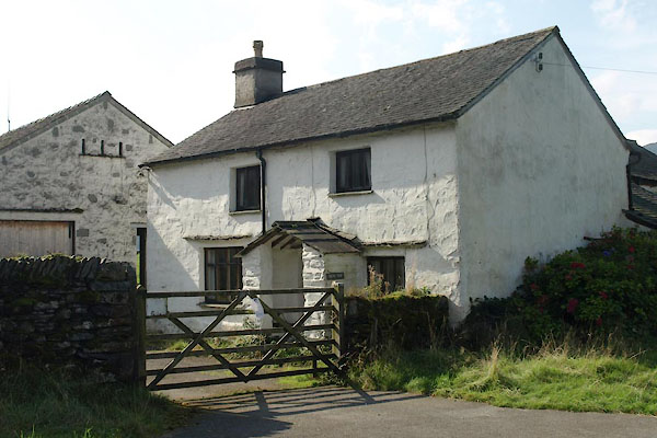
NY34300760 Hollens, The (Lakes) |
 |
NY34350678 How Top (Lakes) L |
 |
NY343067 How (Lakes) |
 |
NY34230692 Howe Foot (Lakes) |
 |
NY34250718 Howe Head (Lakes) |
 |
NY34250669 Howe (Lakes) |
 |
NY336075 Hydropathic Establishment (Lakes) |
 |
NY34310846 inn, Grasmere (Lakes) |
 |
NY33780663 island, Grasmere (Lakes) |
 |
NY32600872 Jackdaw Crag (Lakes) |
 |
NY32450787 James's Quarry (Lakes) |
 |
NY33210713 Kelbarrow (Lakes) |
 |
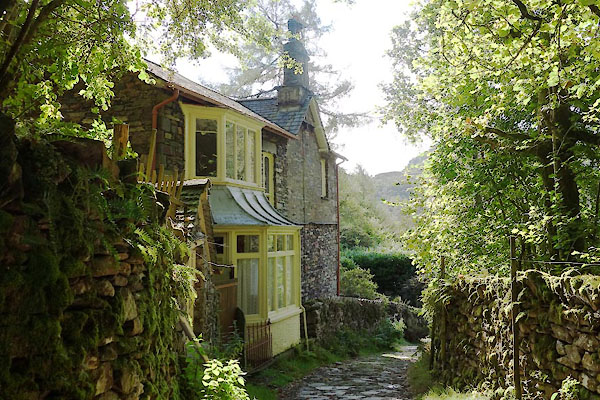
NY33070755 Kell Crag (Lakes) |
 |
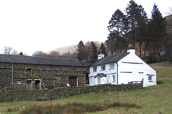
NY32710851 Kittycrag (Lakes) |
 |
NY33950857 Knott House Farm (Lakes) L |
 |
NY33820722 Lake View (Lakes) |
 |
NY32940863 Lancrigg Crag (Lakes) |
 |
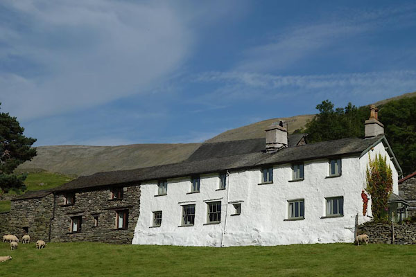
NY33360646 Lingy Crag Coppice (Lakes) |
 |
NY33580932 Low Broadrain (Lakes) L |
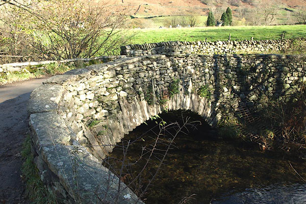 |
NY33410914 Low Mill Bridge (Lakes) |
 |
NY33070779 Low Scorecrag (Lakes) L |
 |
NY341083 Michael's Nook (Lakes) |
 |
NY33610914 Mill Bridge (Lakes) |
 |
NY33620750 Moss Side (Lakes) L |
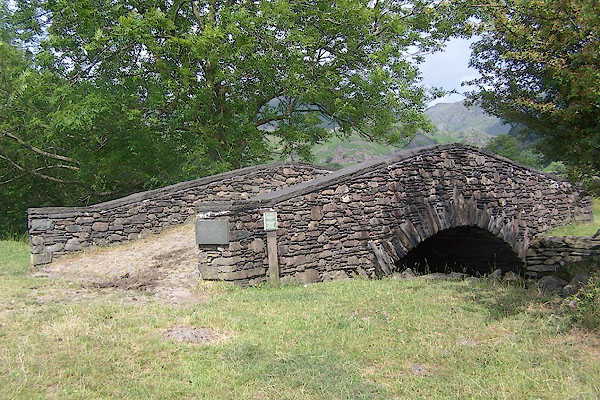 |
NY32780826 New Bridge (Lakes) |
 |
NY33510629 Nichol (Lakes) suggested |
 |
NY34050858 Nook (Lakes) |
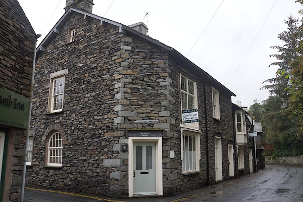 |
NY33600751 Old Bakers Cottage (Lakes) |
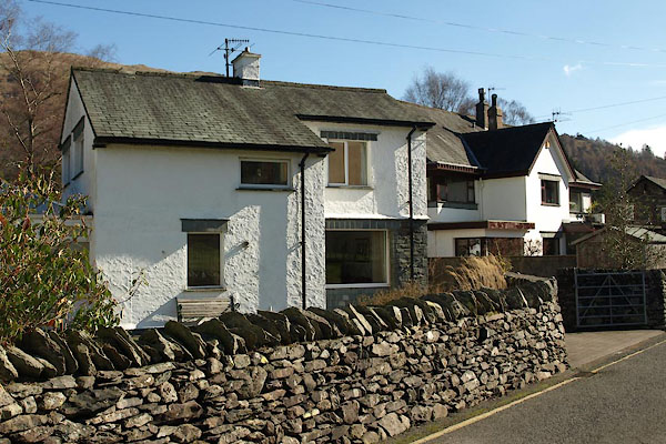 |
NY33610761 Old Police House, The (Lakes) |
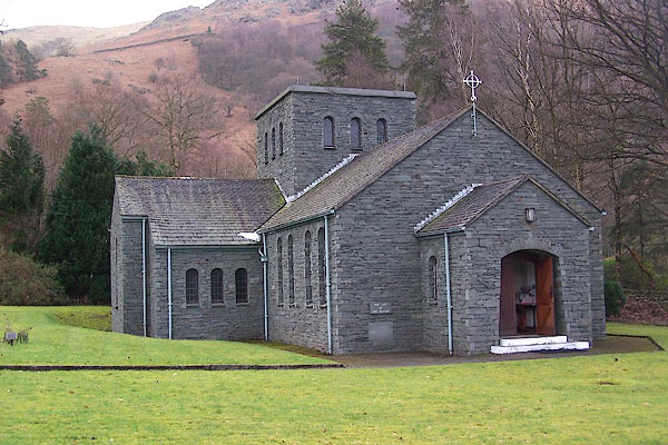 |
NY34070809 Church of Our Lady of the Wayside (Lakes) |
 |
NY336074 Parsonage, The (Lakes) |
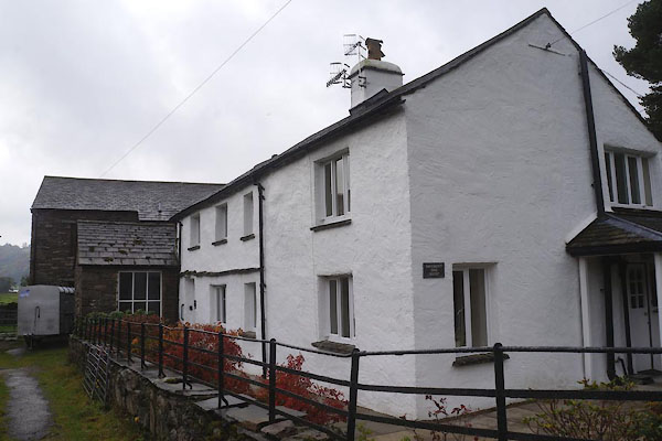 |
NY33460729 Pavement End Farm (Lakes) L |
 |
NY34410604 Penny Rock Wood (Lakes) |
 |
NY334063 post box, Grasmere (Lakes) |
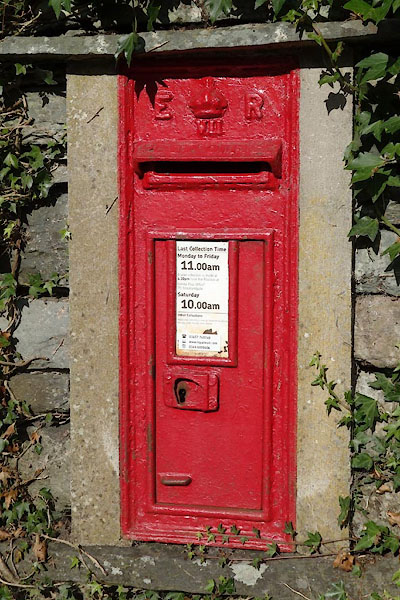 |
NY33600923 post box, Grasmere (2) (Lakes) |
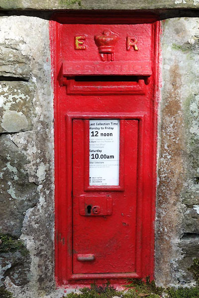 |
NY33070818 post box, Grasmere (3) (Lakes) |
 |
NY339058 Red Bank (Lakes) |
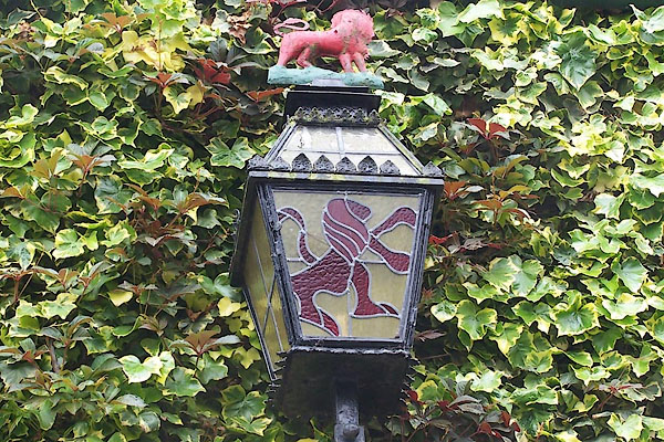 |
NY33650754 Red Lion (Lakes) L |
 |
NY32730735 Restingstead Plantation (Lakes) |
 |
NY33080694 Riddings (Lakes) |
 |
NY34780969 Riggs Crags (Lakes) |
 |
NY32900709 Riggs (Lakes) |
 |
NY33830800 Rothay Bank (Lakes) |
 |
NY33860807 Rothay Place (Lakes) |
 |
NY3208 Roundhill (Lakes) |
 |
NY33240740 Rowantree Crag (Lakes) |
 |
NY33230731 Rowantree Wood (Lakes) |
 |
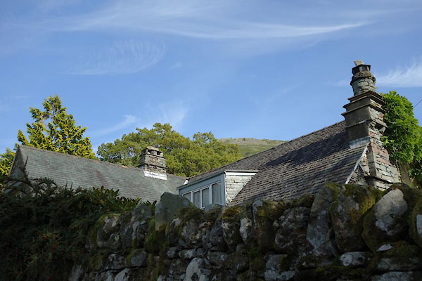
NY33530748 Rylands (Lakes) |
 |
NY33640923 Sandal Beck (Lakes) |
 |
NY33030767 Scorecrag Plantation (Lakes) |
 |
NY33050795 Scorecrag Wood (Lakes) |
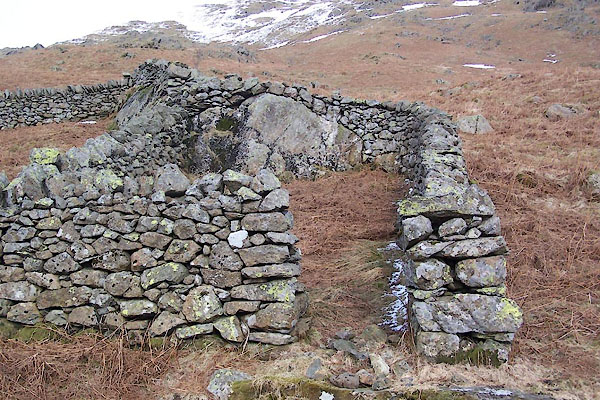 |
NY34920760 sheepfold, Grasmere (Lakes) |
 |
NY33190686 Silverhowe (Lakes) |
 |
NY34000819 Smithy Bridge (Lakes) |
 |
NY336091 smithy, Grasmere (Lakes) |
 |
NY32820795 Spring Coppice (Lakes) |
 |
NY33340723 St Oswald's Well (Lakes) |
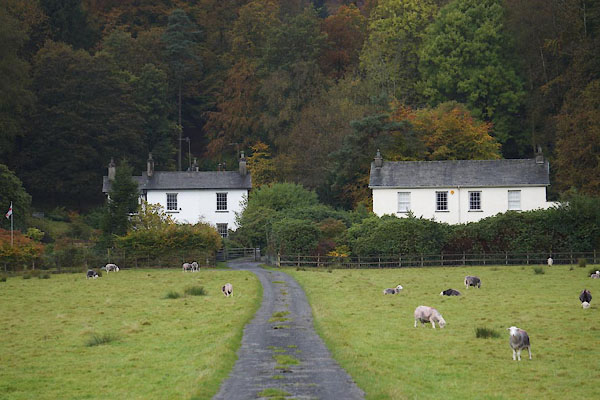 |
NY33190727 St Oswald's (Lakes) L |
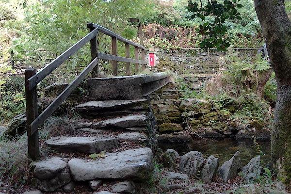 |
NY33050818 Steel Bridge (Lakes) |
 |
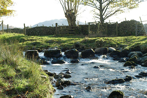
NY33160800 stepping stones, Grasmere (Lakes) |
 |
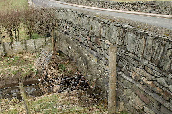
NY33440912 stepping stones, Grasmere (2) (Lakes) |
 |
NY34090713 Stock Bridge (Lakes) |
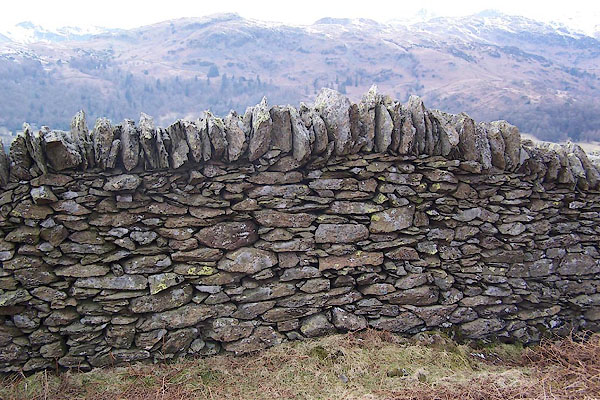 |
NY34730728 stone wall, Grasmere (Lakes) |
 |
NY32930799 Strickland Coppice (Lakes) |
 |
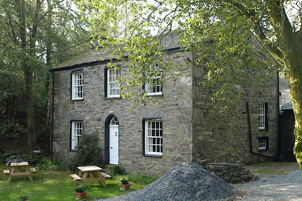
NY33160816 Stubdale Cottage (Lakes) |
 |
NY33190843 Thorney How (Lakes) L |
 |
NY33040809 Toddle Howe (Lakes) |
 |
NY3309 Tongue Ghyll (Lakes) |
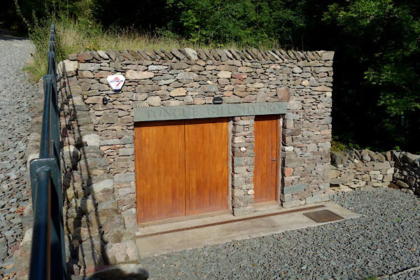 |
NY33670892 Tongue Gill Hydro (Lakes) |
 |
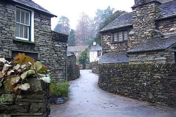
NY33850962 Tonguegill Force (Lakes) |
 |
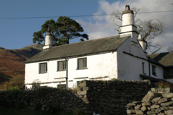
NY34200701 Town End (Lakes) |
 |
NY33310987 Town Head Farm (Lakes) L |
 |
NY33320986 Town Head (Lakes) |
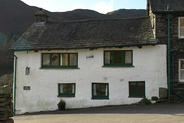 |
NY33320982 Townhead Cottages (Lakes) L |
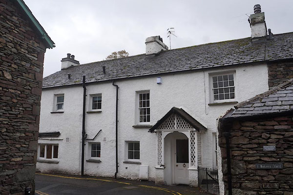 |
NY33620750 Trantunas (Lakes) |
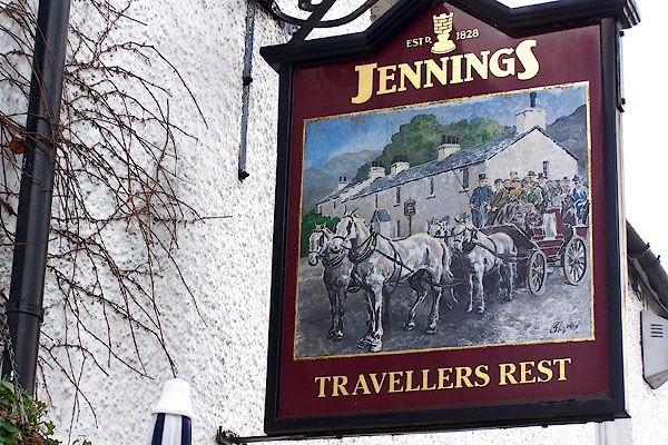 |
NY33620891 Traveller's Rest (Lakes) L |
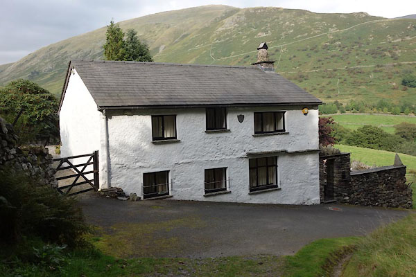 |
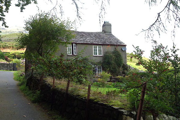
NY32990982 Turn House (Lakes) |
 |
NY33030981 Turn Howe (Lakes) |
 |
NY33540768 Under Crag (Lakes) |
 |
NY33600764 Under Howe (Lakes) |
 |
NY32600812 Under Howe (Lakes) |
 |
NY33630768 Undercrag Cottage (Lakes) |
 |
NY33250862 Underhelm Cottage (Lakes) L |
 |
NY33240864 Underhelm Farm (Lakes) L |
 |
NY32570814 Underhowe Coppice (Lakes) |
 |
NY3209 viewpoint, White Moss Common (Lakes) |
 |
NY33400705 Well Foot (Lakes) |
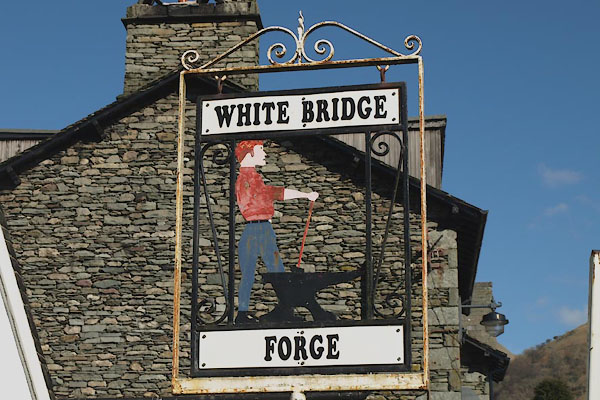 |
NY33830811 White Bridge Forge (Lakes) |
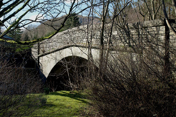 |
NY33810805 White Bridge (Lakes) |
 |
NY32600881 White Crag (Lakes) |
 |
NY34400697 Wood Close (Lakes) |
 |
NY34420688 Woodland Crag (Lakes) |
 |
NY33000853 Wordsworth's Well (Lakes) |
 |
NY3207 Wray Gill (Lakes) |
 |
NY33170724 Wray, The (Lakes) L |
 |
NY3306 Wyke Gill (Lakes) |
 |
NY33260653 Wyke, The (Lakes) |
 |
NY33180681 Gardener's Cottage (Lakes) gone |
 |
NY3307 pinfold, Grasmere (Lakes) gone |
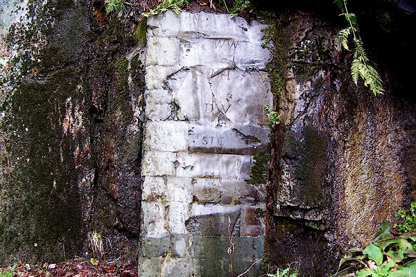 |
NY320153 Rock of Names (St John's Castlerigg and Wythburn) |
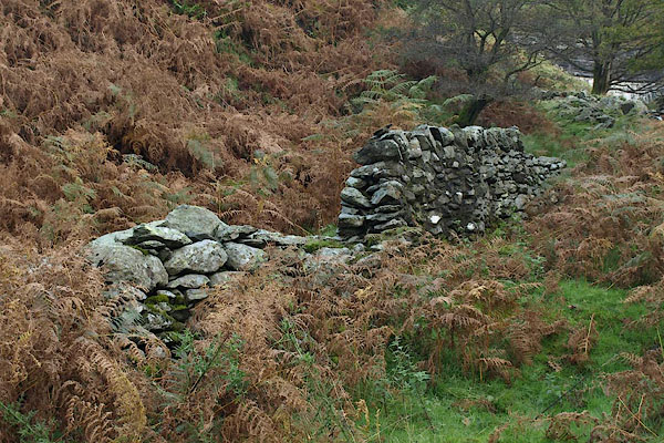 |
NY343082 Michael's Fold (Lakes) |
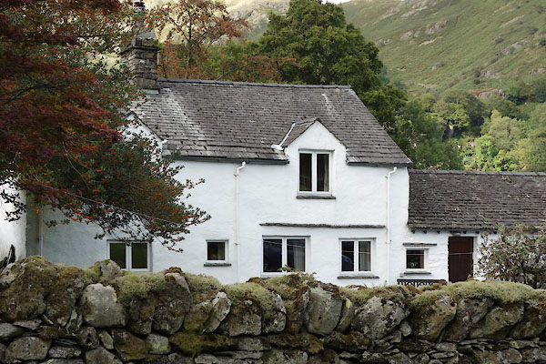 |
NY32320820 Blindtarn Gill Farm (Lakes) L |
 |
NY34440623 Baneriggs (Lakes) |
 |
NY3307 Fir Grove, The (Lakes) |
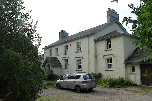 |
NY33690734 Rectory (Lakes) L |
 |
NY33800590 Redbank Wood (Lakes) |
 |
NY34190701 spring, Dove Cottage (Lakes) |
 |
NY3307 Dixon's Private Hotel (Lakes) |
 |
NY3408 Hollins and Lowther Hotel (Lakes) |
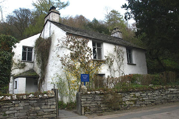 |
NY34200703 Dove Cottage (Lakes) L |
 |
NY33760531 Hammer Scar (Lakes) |
 |
NY34160688 Daffodil Hotel (Lakes) |
 |
NY3307 Rothay Hotel (Lakes) |
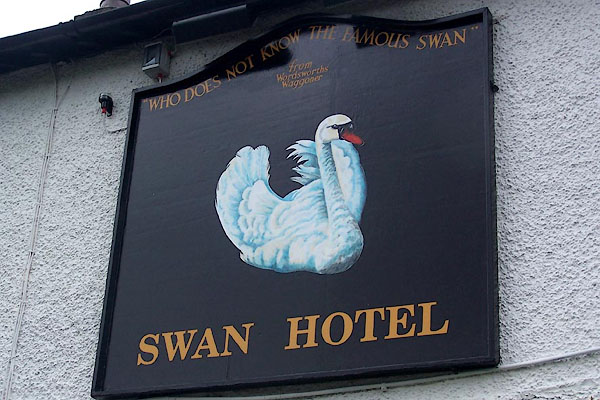 |
NY33970825 Swan Hotel (Lakes) L |
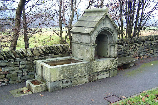 |
NY34120712 Wordsworth Memorial (Lakes) |
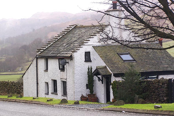 |
NY33390992 Toll Bar Cottage (Lakes) |
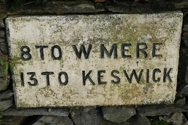 |
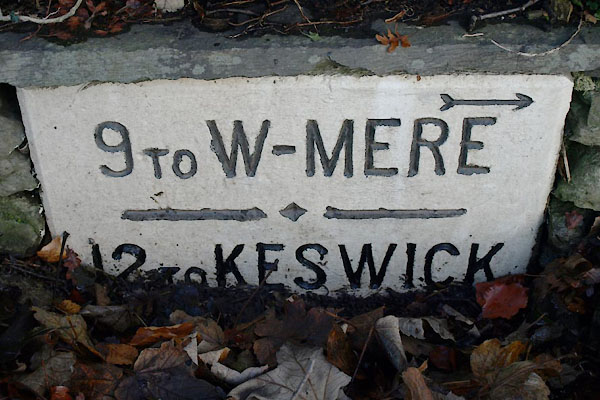
NY34200666 milestone, Grasmere, Lakes (5) (Lakes) |
 |
NY34000820 milestone, Grasmere, Lakes (4) (Lakes) |
 |
NY34160748 milestone, Grasmere, Lakes (2) (Lakes) not found |
 |
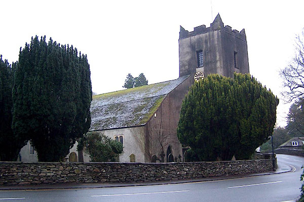
NY33620893 milestone, Grasmere, Lakes (Lakes) gone |
 |
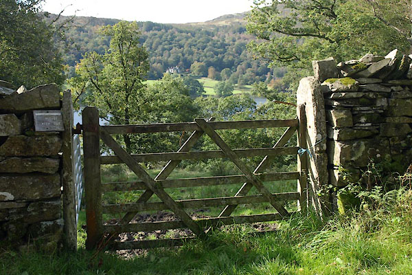
NY33730738 St Oswald's Church (Lakes) L |
 |
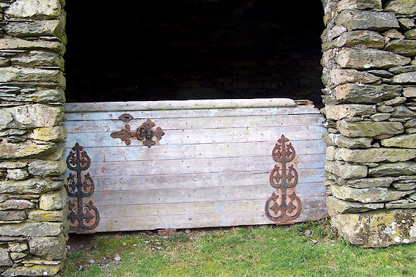
NY34320650 Wishing Gate, The (Lakes) |
 |
NY33800893 Winterseeds (Lakes) |
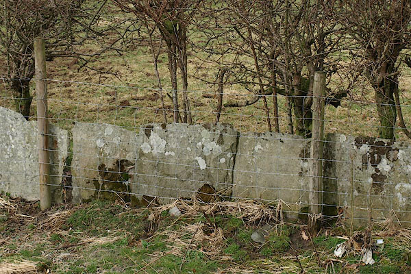 |
NY34080712 stone wall, Grasmere (2) (Lakes) |
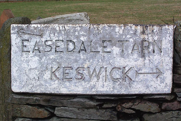 |
NY33690765 guide stone, Grasmere (Lakes) |
