 Old Cumbria Gazetteer
 |
 |
|
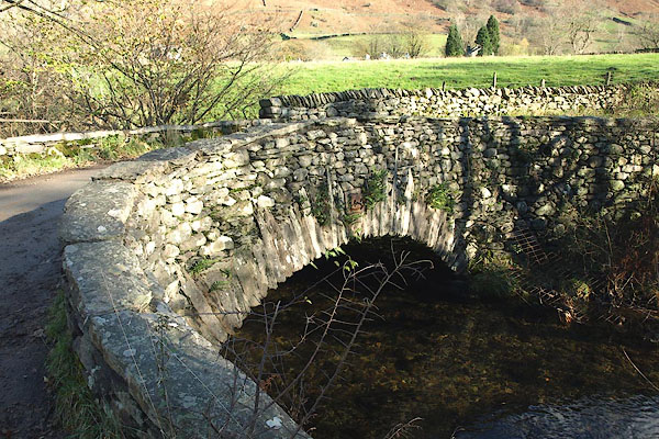
| Low Mill Bridge, Grasmere | ||
| Low Mill Bridge | ||
| site name:- | Rothay, River | |
| locality:- | Grasmere | |
| civil parish:- | Lakes (formerly Westmorland) | |
| county:- | Cumbria | |
| locality type:- | bridge | |
| coordinates:- | NY33410914 | |
| 1Km square:- | NY3309 | |
| 10Km square:- | NY30 | |
|
|
||
 BRV09.jpg (taken 11.11.2009) 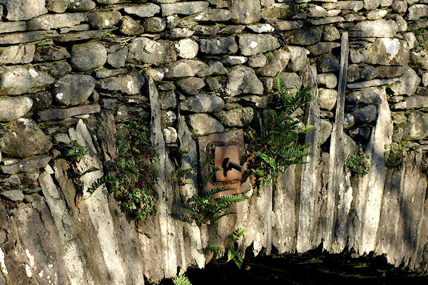 BRV10.jpg Long voussoirs. (taken 11.11.2009) |
||
|
|
||
| evidence:- | old map:- OS County Series (Wmd 18 16) placename:- Mill Bridge |
|
| source data:- | Maps, County Series maps of Great Britain, scales 6 and 25
inches to 1 mile, published by the Ordnance Survey, Southampton,
Hampshire, from about 1863 to 1948. |
|
|
|
||
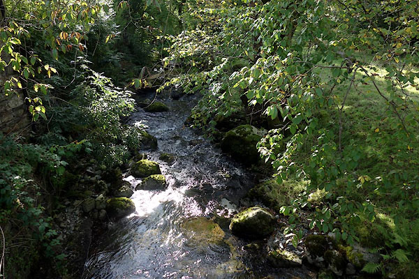 CEA15.jpg View of river. (taken 28.9.2015) |
||
|
|
||
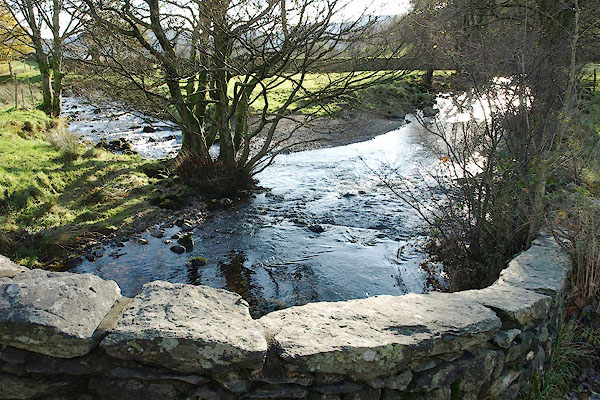 BRV11.jpg View of river. Tongue Gill entering on the left. (taken 11.11.2009) |
||
|
|
||
 Lakes Guides menu.