 Old Cumbria Gazetteer
 |
 |
|
| How Top, Grasmere | ||
| How Top | ||
| locality:- | How | |
| locality:- | Grasmere | |
| civil parish:- | Lakes (formerly Westmorland) | |
| county:- | Cumbria | |
| locality type:- | buildings | |
| coordinates:- | NY34350678 | |
| 1Km square:- | NY3406 | |
| 10Km square:- | NY30 | |
|
|
||
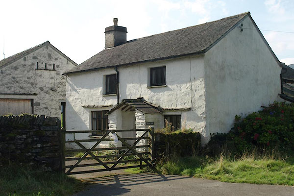 BVK59.jpg (taken 29.9.2011) 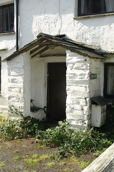 BVK60.jpg Porch. (taken 29.9.2011) |
||
|
|
||
| evidence:- | old map:- OS County Series (Wmd 26 1) placename:- Howe Top |
|
| source data:- | Maps, County Series maps of Great Britain, scales 6 and 25
inches to 1 mile, published by the Ordnance Survey, Southampton,
Hampshire, from about 1863 to 1948. |
|
|
|
||
| evidence:- | database:- Listed Buildings 2010 placename:- Howe Top Farm |
|
| source data:- | courtesy of English Heritage "HOWE TOP FARMHOUSE / / / LAKES / SOUTH LAKELAND / CUMBRIA / II / 452409 / NY3435806785" |
|
|
|
||
| evidence:- | database:- Listed Buildings 2010 |
|
| source data:- | courtesy of English Heritage "BARN TO EAST OF HOWE TOP FARMHOUSE / / / LAKES / SOUTH LAKELAND / CUMBRIA / II / 452620 / NY3437806778" |
|
|
|
||
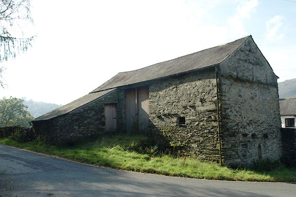 BVK61.jpg Barn. (taken 29.9.2011) |
||
|
|
||
 Lakes Guides menu.