


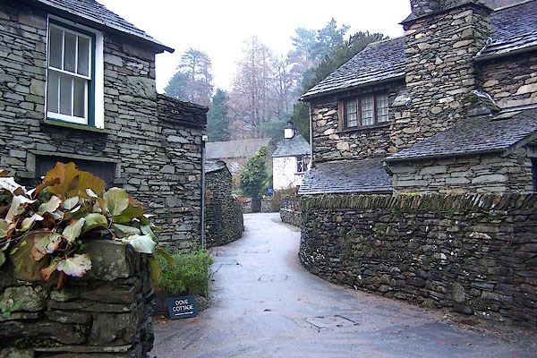
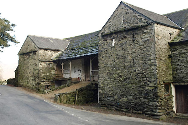
BLK97.jpg (taken 5.12.2005)
placename:- Town End
placename:- Town End
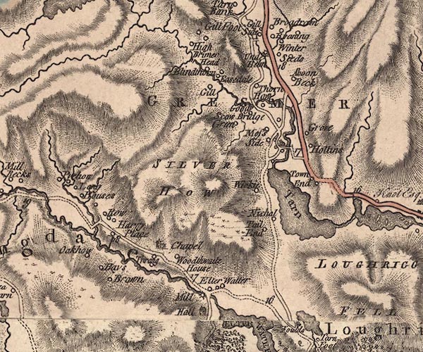
J5NY30NW.jpg
"Town End"
circle, labelled in italic lowercase text; settlement, farm, house, or hamlet?
item:- National Library of Scotland : EME.s.47
Image © National Library of Scotland
placename:- Town End
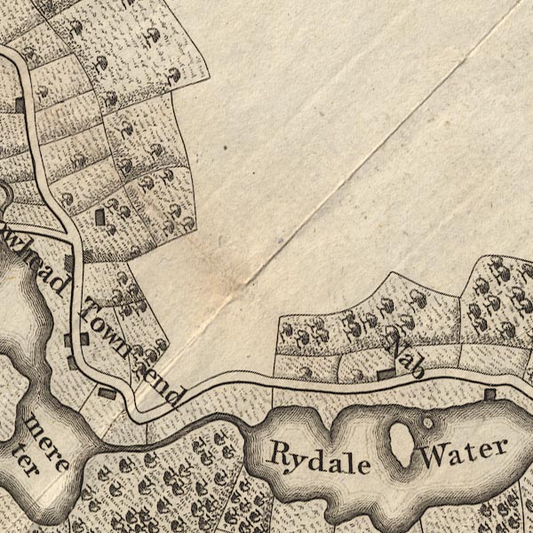
CL9NY30N.jpg
"Town end"
item:- private collection : 10.9
Image © see bottom of page
placename:- Town End
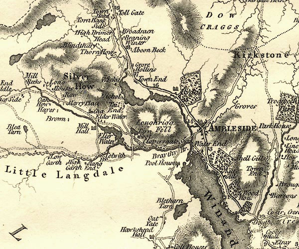
CY24NY30.jpg
"Town End"
block/s, labelled in italic lowercase; house, or hamlet
item:- JandMN : 129
Image © see bottom of page
placename:- Town End
 click to enlarge
GRA1Wd.jpg
"Town End"
blocks, italic lowercase text, village, hamlet, locality
item:- Hampshire Museums : FA2000.62.4
Image © see bottom of page
placename:- Town End
 click to enlarge
WAL5.jpg
"Town End"
village, hamlet, house, ...
item:- JandMN : 63
Image © see bottom of page
placename:- Townend
 click to enlarge
HA18.jpg
"Townend"
circle, italic lowercase text; settlement
item:- Armitt Library : 2008.14.58
Image © see bottom of page
placename:- Town End
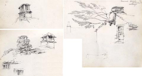 click to enlarge
AS0132.jpg
"Town end opposite Mr Wordsworth's cottage"
item:- Armitt Library : 1958.487.32
Image © see bottom of page
placename:- Town End
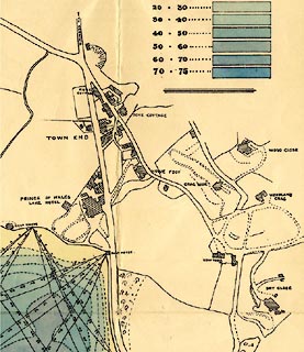 click to enlarge
M084Vil4.jpg
item:- Armitt Library : 1959.195
Image © see bottom of page
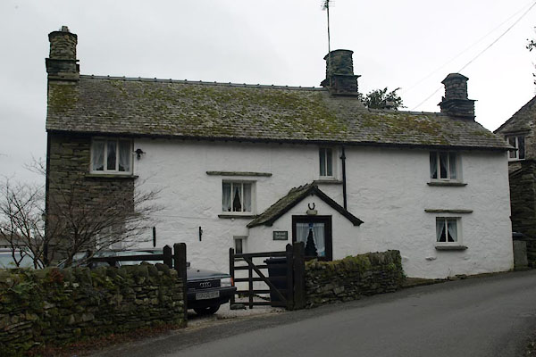 |
NY40780269 Bellehill Cottage (Lakes) L |
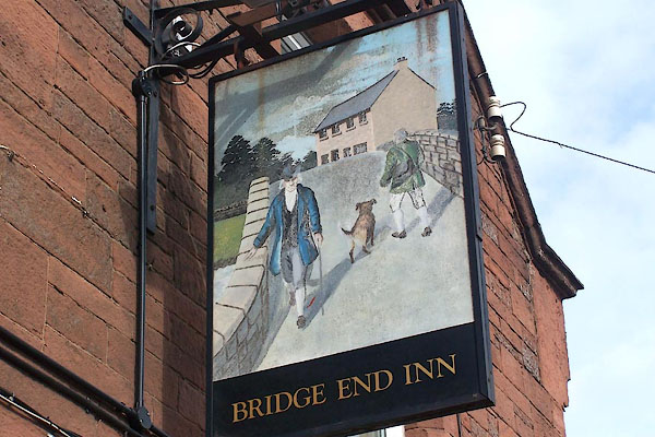 |
NY63532533 Bridge End Inn (Kirkby Thore) |
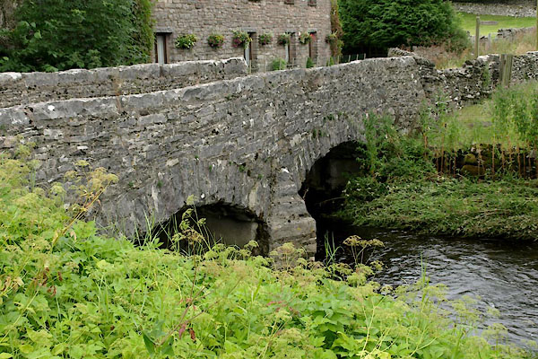 |
NY72410402 bridge, Ravenstonedale (3) (Ravenstonedale) |
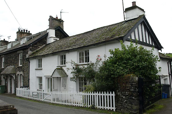 |
SD37789515 Church Cottage (Claife) |
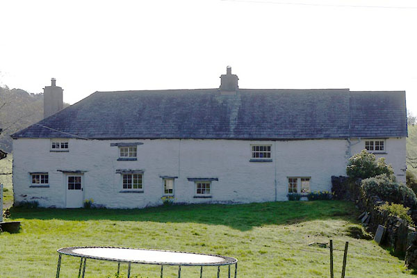 |
SD36098705 Cobby House (Colton) L |
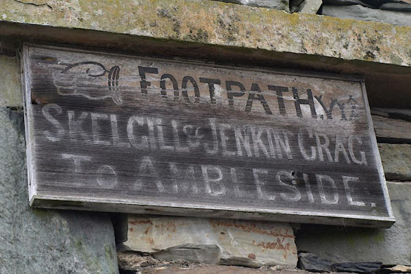 |
NY40740262 fingerpost, Troutbeck (Lakes) |
 |
SD35888678 Finsthwaite Cottage (Colton) |
 |
SD36018697 Finsyke Cottage (Colton) |
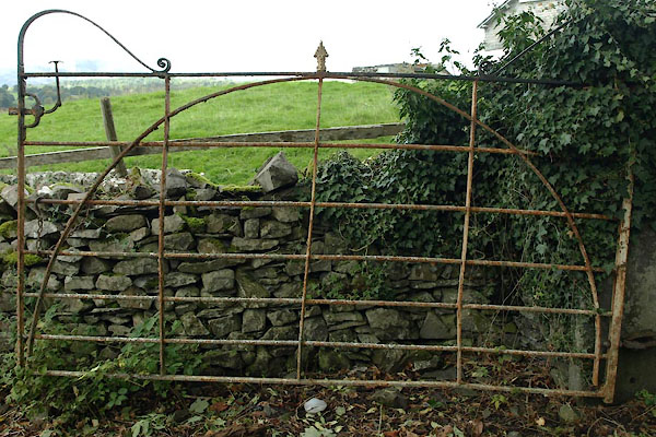 |
SD35909813 gate, Colthouse (Claife) |
 |
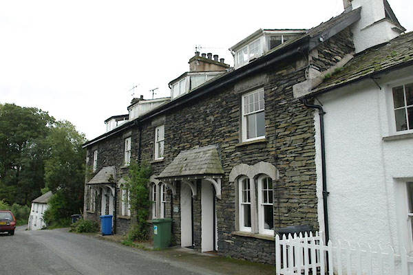
SD36018706 Green Cottage (Colton) |
 |
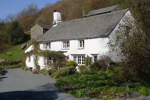
SD37789513 Hallbank (Claife) |
 |
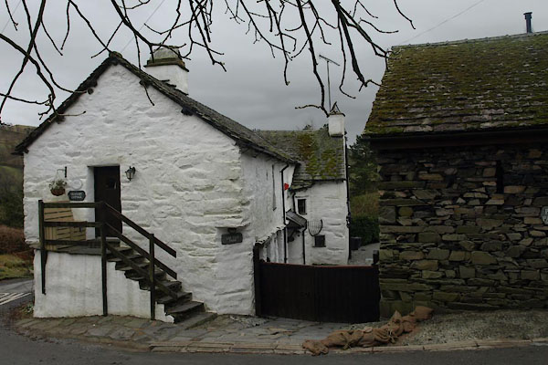
SD36128698 house, Finsthwaite (Colton) |
 |
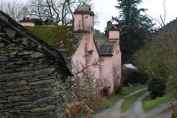
NY40760263 Low Fold Farm (Lakes) L |
 |
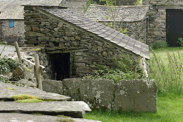
NY40730256 Low House Farm (Lakes) L |
 |
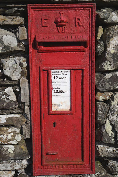
SD35899812 pig sty, Colthouse (Claife) |
 |
SD36098711 post box, Finsthwaite (Colton) |
 |
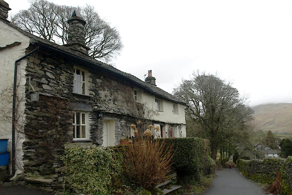
NY40720228 post box, Troutbeck (Lakes) |
 |
NY40670254 Robin Lane Cottages (Lakes) L |
 |
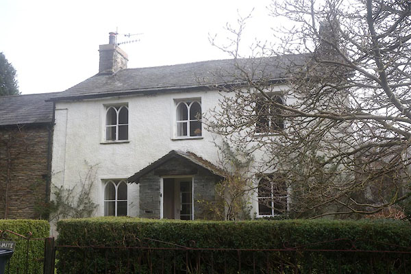
SD36098712 Sinder Hill Cottage (Colton) |
 |
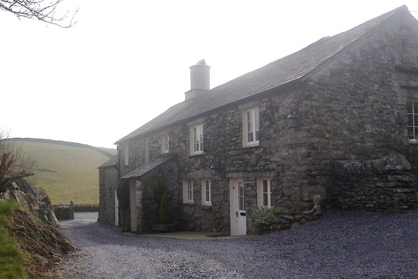
SD35878675 Thwaite End (Colton) |
 |
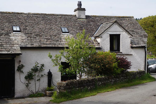
SD36088701 Tom Crag (Colton) L |
 |
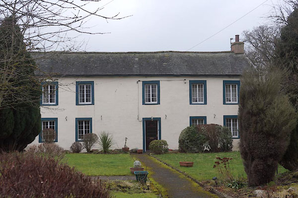
SD37779518 Town End Cottages (Claife) L |
 |
NY53622623 Town End (Clifton) L |
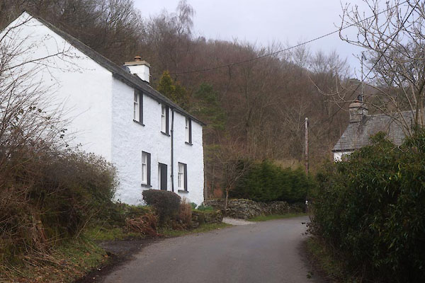 |
SD35848673 Town End Farmhouse (Colton) |
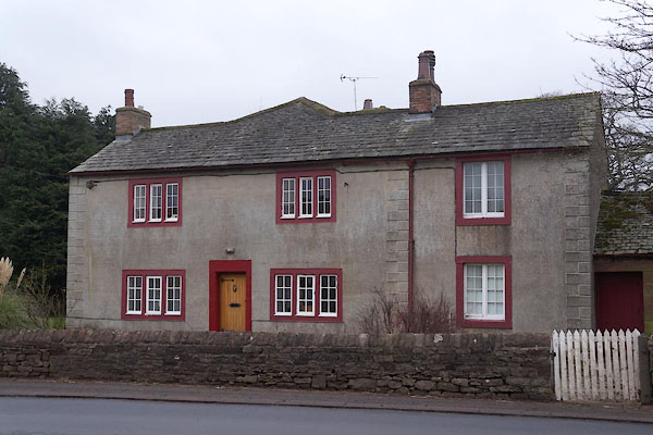 |
NY53622626 Town End (Clifton) L |
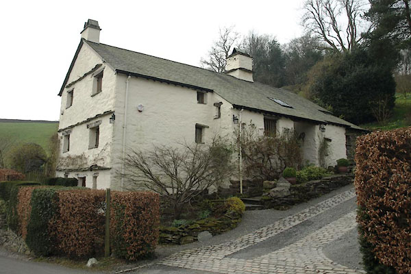 |
NY40680200 Town Foot Farm (Lakes) L |
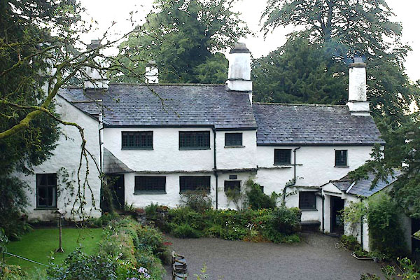 |
NY40710227 Townend (Lakes) L |
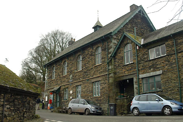 |
NY40730264 Troutbeck Post Office (Lakes) |
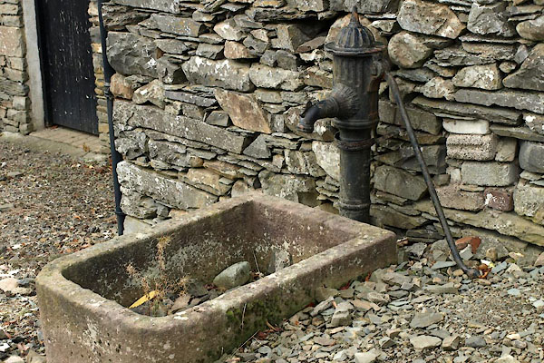 |
SD35889811 water trough, Colthouse (Claife) |
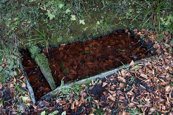 |
NY40800280 water trough, Troutbeck (3) (Lakes) |
 |
NY34400697 Wood Close (Lakes) |
 |
NY34190701 spring, Dove Cottage (Lakes) |
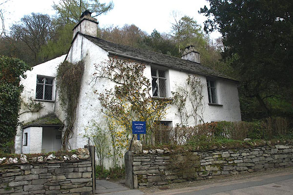 |
NY34200703 Dove Cottage (Lakes) L |
 |
NY34160688 Daffodil Hotel (Lakes) |
 |
NY40710216 barn, Townend (Lakes) L |
