 Old Cumbria Gazetteer
 |
 |
|
| Wray, Grasmere | ||
| locality:- | Grasmere | |
| civil parish:- | Lakes (formerly Westmorland) | |
| county:- | Cumbria | |
| locality type:- | buildings | |
| coordinates:- | NY33170724 | |
| 1Km square:- | NY3307 | |
| 10Km square:- | NY30 | |
| references:- | Listed Buildings 2010 |
|
|
|
||
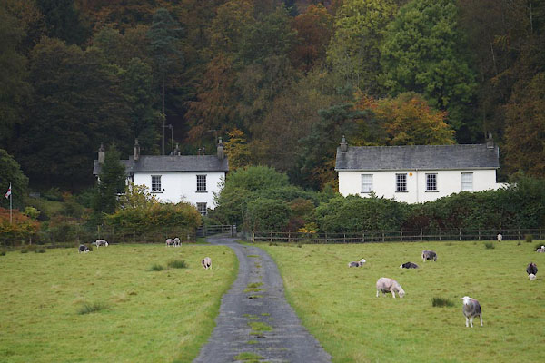 CBW28.jpg and St Oswald's to the right. (taken 17.10.2014) |
||
|
|
||
| evidence:- | old map:- OS County Series (Wmd 25 4) placename:- Wray, The |
|
| source data:- | Maps, County Series maps of Great Britain, scales 6 and 25
inches to 1 mile, published by the Ordnance Survey, Southampton,
Hampshire, from about 1863 to 1948. |
|
|
|
||
| evidence:- | database:- Listed Buildings 2010 placename:- Wray, The |
|
| source data:- | courtesy of English Heritage "THE WRAY / 1 AND 2 / / LAKES / SOUTH LAKELAND / CUMBRIA / II / 451926 / NY3317807242" |
|
|
|
||
 Lakes Guides menu.