 Old Cumbria Gazetteer
 |
 |
|
| smithy, Grasmere | ||
| locality:- | Town Head | |
| locality:- | Grasmere | |
| civil parish:- | Lakes (formerly Westmorland) | |
| county:- | Cumbria | |
| locality type:- | smithy | |
| coordinates:- | NY336091 (?) | |
| 1Km square:- | NY3309 | |
| 10Km square:- | NY30 | |
| references:- | Ogilby 1675 |
|
|
|
||
| evidence:- | old map:- Ogilby 1675 (plate 96) |
|
| source data:- | Road strip map, hand coloured engraving, the Road from Kendal to
Cockermouth, and the Road from Egremond to Carlisle, scale about
1 inch to 1 mile, by John Ogilby, London, 1675.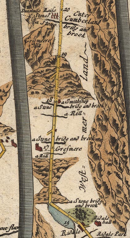 OG96m015.jpg In mile 18, Westmerland. "a Smithshop" house drawn on the right of the road. item:- JandMN : 22 Image © see bottom of page |
|
|
|
||
 Lakes Guides menu.