Old Cumbria Gazetteer
 |
 |
|
||
| Kirkby Stephen | ||||
| civil parish:- | Kirkby Stephen (formerly Westmorland) | |||
| county:- | Cumbria | |||
| locality type:- | locality | |||
| locality type:- | buildings | |||
| locality type:- | market town | |||
| locality type:- | selected place | |||
| coordinates:- | NY77490872 (etc) | |||
| 1Km square:- | NY7708 | |||
| 10Km square:- | NY70 | |||
| latitude; longitude:- | 2d 20.8m W; 54d 28.4m N | |||
|
|
||||
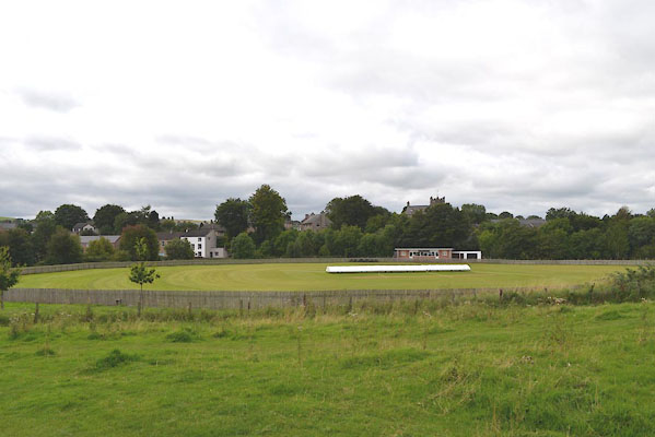
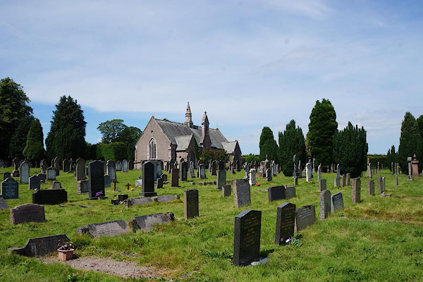
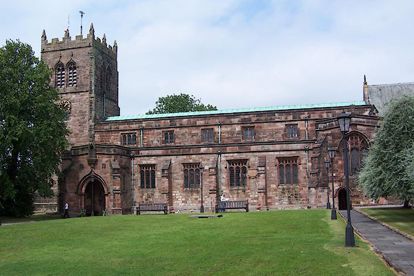
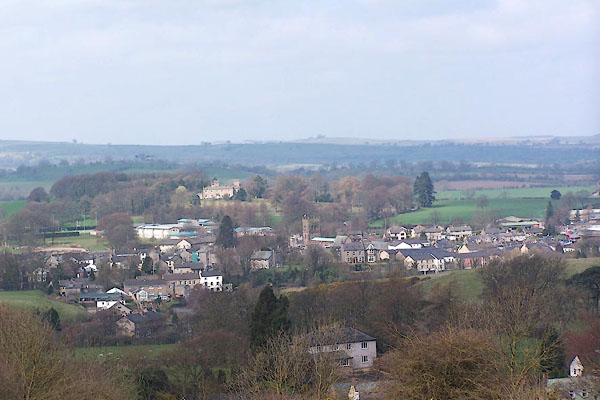
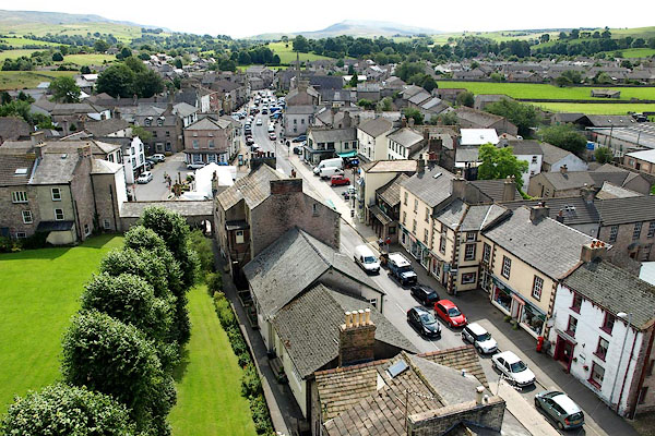 BRG26.jpg From the church tower. (taken 3.8.2009) 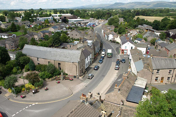 BRG27.jpg From the church tower. (taken 3.8.2009) |
||||
|
|
||||
| evidence:- | old map:- OS County Series (Wmd 23 15) placename:- Kirkby Stephen |
|||
| source data:- | Maps, County Series maps of Great Britain, scales 6 and 25
inches to 1 mile, published by the Ordnance Survey, Southampton,
Hampshire, from about 1863 to 1948. OS County Series (Wmd 23 11) |
|||
|
|
||||
| evidence:- | old map:- Saxton 1579 placename:- Kirkby Steven |
|||
| source data:- | Map, hand coloured engraving, Westmorlandiae et Cumberlandiae Comitatus ie Westmorland
and Cumberland, scale about 5 miles to 1 inch, by Christopher Saxton, London, engraved
by Augustinus Ryther, 1576, published 1579-1645.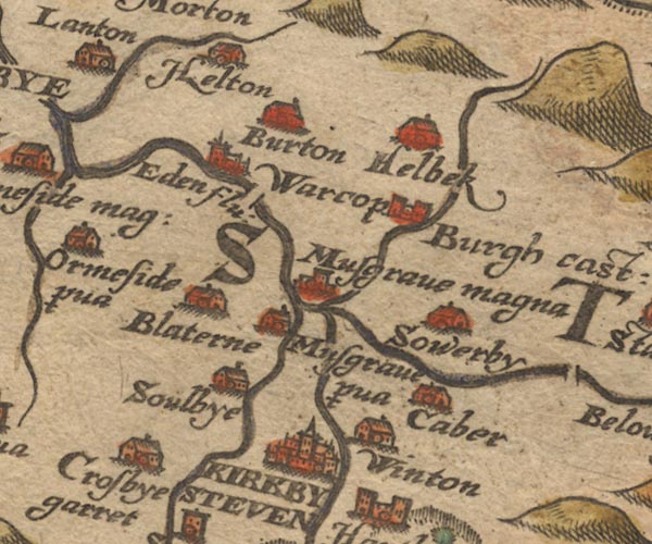 Sax9NY71.jpg Buildings and towers, symbol for a town. "KIRKBY STEVEN" item:- private collection : 2 Image © see bottom of page |
|||
|
|
||||
| evidence:- | old map:- Mercator 1595 (edn?) placename:- Kirkbysteven |
|||
| source data:- | Map, hand coloured engraving, Westmorlandia, Lancastria, Cestria
etc, ie Westmorland, Lancashire, Cheshire etc, scale about 10.5
miles to 1 inch, by Gerard Mercator, Duisberg, Germany, 1595,
edition 1613-16. MER5WmdA.jpg "Kirkbysteven" circle item:- Armitt Library : 2008.14.3 Image © see bottom of page |
|||
|
|
||||
| evidence:- | old map:- Keer 1605 placename:- Kirkbysteven |
|||
| source data:- | Map, hand coloured engraving, Westmorland and Cumberland, scale
about 16 miles to 1 inch, probably by Pieter van den Keere, or
Peter Keer, about 1605 edition perhaps 1676. click to enlarge click to enlargeKER8.jpg "Kirkbysteven" dot, two circle, tower, tinted red; town item:- Dove Cottage : 2007.38.110 Image © see bottom of page |
|||
|
|
||||
| evidence:- | old map:- Speed 1611 (Cum/EW) placename:- Kirkbysteven |
|||
| source data:- | Map, hand coloured engraving, Kingdome of Great Britaine and
Ireland, scale about 36 miles to 1 inch, by John Speed, about
1610-11, published by Thomas Bassett, Fleet Street and Richard
Chiswell, St Paul's Churchyard, London, 1676? click to enlarge click to enlargeSPD6Cm.jpg "Kirkbysteven" dot, circle, and tower item:- private collection : 85 Image © see bottom of page |
|||
|
|
||||
| evidence:- | old map:- Speed 1611 (Wmd) placename:- Kirkby Steven |
|||
| source data:- | Map, hand coloured engraving, The Countie Westmorland and
Kendale the Cheif Towne, scale about 2.5 miles to 1 inch, by
John Speed, 1610, published by George Humble, Popes Head Alley,
London, 1611-12.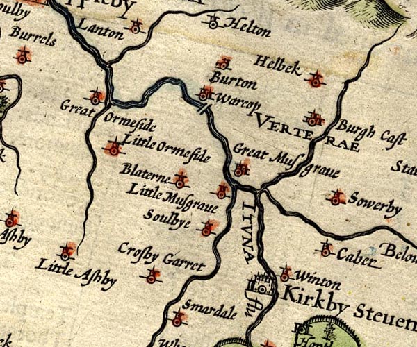 SP14NY71.jpg "Kirkby Steven" circle, buildings and towers item:- Armitt Library : 2008.14.5 Image © see bottom of page |
|||
|
|
||||
| evidence:- | table of distances:- Simons 1635 placename:- Kirkby Steven |
|||
| source data:- | Table of distances, uncoloured engraving, Westmerland ie
Westmorland, with a thumbnail map, scale about 42 miles to 1
inch, by Mathew Simons, published in A Direction for the English
Traviller, 1635.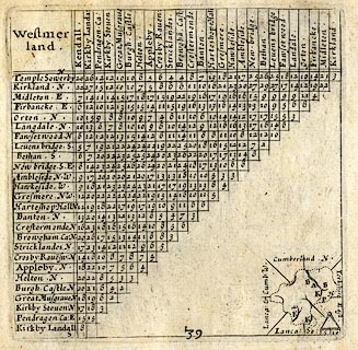 click to enlarge click to enlargeSIM3.jpg "Kirkby Steven N" and tabulated distances; K on thumbnail map item:- private collection : 50.39 Image © see bottom of page |
|||
|
|
||||
| evidence:- | old map:- Jenner 1643 placename:- Kirkbye Steven |
|||
| source data:- | Table of distances, with map, hand coloured engraving,
Westmerland ie Westmorland, scale about 16 miles to 1 inch,
engraved by Jacob van Langeren, published by Thomas Jenner,
Cornhill, London, 1643.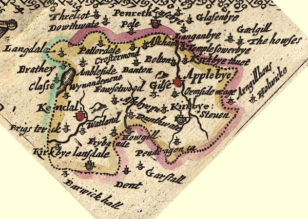 JEN3Sq.jpg "Kirkbye Steven" dot, double circle, buildings item:- private collection : 52.Wmd Image © see bottom of page |
|||
|
|
||||
| evidence:- | old map:- Jansson 1646 placename:- Kirkby Steven |
|||
| source data:- | Map, hand coloured engraving, Cumbria and Westmoria, ie
Cumberland and Westmorland, scale about 3.5 miles to 1 inch, by
John Jansson, Amsterdam, Netherlands, 1646. JAN3NY71.jpg "Kirkby Steven" Buildings and towers, suggestion of a wall, notice ?fence palings; upright lowercase text; market town. item:- JandMN : 88 Image © see bottom of page |
|||
|
|
||||
| evidence:- | old map:- Sanson 1679 placename:- Kirkby Seven |
|||
| source data:- | Map, hand coloured engraving, Ancien Royaume de Northumberland
aujourdhuy Provinces de Nort, ie the Ancient Kingdom of
Northumberland or the Northern Provinces, scale about 9.5 miles
to 1 inch, by Nicholas Sanson, Paris, France, 1679. click to enlarge click to enlargeSAN2Cm.jpg "Kirkby Seven" circle, buildings and towers; town item:- Dove Cottage : 2007.38.15 Image © see bottom of page |
|||
|
|
||||
| evidence:- | old map:- Seller 1694 (Wmd) placename:- Kirkby Steven |
|||
| source data:- | Map, hand coloured engraving, Westmorland, scale about 8 miles
to 1 inch, by John Seller, 1694. click to enlarge click to enlargeSEL7.jpg "Kirkby Steven" circle, upright lowercase text; town, large item:- Dove Cottage : 2007.38.87 Image © see bottom of page |
|||
|
|
||||
| evidence:- | old map:- Morden 1695 (EW) placename:- Kirby Steven |
|||
| source data:- | Map, hand coloured engraving, England, including Wales, scale
about 27 miles to 1 inch, by Robert Morden, published by Abel
Swale Awnsham and John Churchil, London, about 1695. click to enlarge click to enlargeMRD3Cm.jpg "Kirby Steven" circle; village or town item:- JandMN : 339 Image © see bottom of page |
|||
|
|
||||
| evidence:- | old map:- Morden 1695 (Wmd) placename:- Kirkby Steven |
|||
| source data:- | Map, hand coloured engraving, Westmorland, scale about 2.5 miles to 1 inch, by Robert
Morden, published by Abel Swale, the Unicorn, St Paul's Churchyard, Awnsham, and John
Churchill, the Black Swan, Paternoster Row, London, 1695. MD10NY70.jpg "Kirkby Steven" Circle, buildings, towers. item:- JandMN : 24 Image © see bottom of page |
|||
|
|
||||
| evidence:- | descriptive text:- Defoe 1724-26 placename:- item:- stockings |
|||
| source data:- | Tour through England and Wales, by Daniel Defoe, published in
parts, London, 1724-26. "The upper, or northern part of the county [Westmorland], has two manufacturing towns, called Kirkby Stephen, and Appleby; ... neither of them offer any thing considerable to our observation, except a great manufacture of yarn stockings at the former." |
|||
|
|
||||
| evidence:- | old map:- Badeslade 1742 placename:- Kirkby Steven |
|||
| source data:- | Maps, Westmorland North from London, scale about 10 miles to 1
inch, and Cumberland North from London, scale about 11 miles to
1 inch, with descriptive text, by Thomas Badeslade, London,
engraved and published by William Henry Toms, Union Court,
Holborn, London, 1742; published 1742-49. "Kirby Steven Market Friday, Fair Whitsun-monday." |
|||
|
|
||||
| evidence:- | old map:- Badeslade 1742 placename:- Kirby Steven |
|||
| source data:- | Map, uncoloured engraving, A Map of Westmorland North from
London, scale about 10 miles to 1 inch, with descriptive text,
by Thomas Badeslade, London, engraved and published by William
Henry Toms, Union Court, Holborn, London, 1742. click to enlarge click to enlargeBD12.jpg "Kirby Steven" circle, tower/s, upright lowercase text; town item:- Dove Cottage : 2007.38.62 Image © see bottom of page |
|||
|
|
||||
| evidence:- | descriptive text:- Simpson 1746 placename:- Kirkby Stephen placename:- Stephen's Church item:- market; fair; stockings |
|||
| source data:- | Atlas, three volumes of maps and descriptive text published as
'The Agreeable Historian, or the Compleat English Traveller
...', by Samuel Simpson, 1746. goto source goto sourcePage 1024:- "..." "Kirkby Stephen, or Stephen's Church, on the River Eden, is one of the Towns of this County noted for weaving Yarn Stockings, and a Free-School founded and endowed by the Family of Wharton. Its Market is on Friday, and Fairs are on St. Mark's and St. Luke's, and Whit-monday." |
|||
|
|
||||
| evidence:- | old map:- Simpson 1746 map (Wmd) placename:- Kirby Steven |
|||
| source data:- | Map, uncoloured engraving, Westmorland, scale about 8 miles to 1
inch, printed by R Walker, Fleet Lane, London, 1746.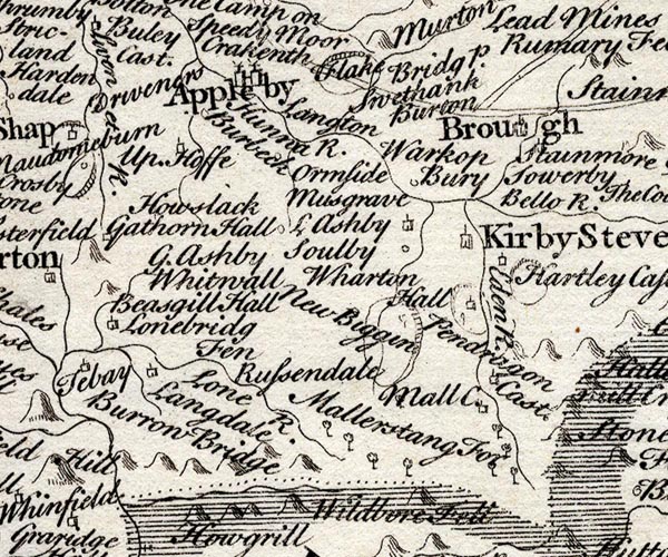 SMP2NYQ.jpg "Kirby Steven" Building, labelled as a town. item:- Dove Cottage : 2007.38.59 Image © see bottom of page |
|||
|
|
||||
| evidence:- | old map:- Bickham 1753-54 (Wmd) placename:- Kirby Steven |
|||
| source data:- | Map, uncoloured engraving, perspective view, A Map of
Westmorland, North from London, by George Bickham, James Street,
Bunhill Fields, London, 1753.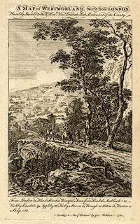 click to enlarge click to enlargeBCK3.jpg "Kirby Steven" view (sort of) item:- Armitt Library : 2008.14.71 Image © see bottom of page |
|||
|
|
||||
| evidence:- | old text:- Gents Mag item:- placename, Kirkby Stephen; fairs; market; population, Kirkby Stephen |
|||
| source data:- | Magazine, The Gentleman's Magazine or Monthly Intelligencer or
Historical Chronicle, published by Edward Cave under the
pseudonym Sylvanus Urban, and by other publishers, London,
monthly from 1731 to 1922. goto source Gentleman's Magazine 1754 p.230 "Mr URBAN," "AS I continued some days at Kirkby Stephen, in Westmoreland, I made some occasional observations, which, if you think proper, you may communicate to the publick, Yours, &c. S." "THE etymon of the name is easily traced, as bye is the old Saxon word for a village, so that Kirkby is church town; and Kirkby-Kendal, and Kirkby-Stephen, signify the church towns of Kendal and Stephen." "The village is situated on the west bank of the river Eden, ..." "The whole village consists of one single street, indifferently built, which lies nearly north and south, opening on Helbec mountain at one extremity, and Wildbore at the other. There was once a fine market place, 70 yards wide, and near 100 long, but by some strange inattention to publick utility, houses have been suffered to be built on it, and others afterwards to be built before them. The market is on Monday, and as the stocking manufacture supplies the principal trade, this traffic is the first at the market; it generally begins about six and is over by eight in the morning. Tho' the situation of Kirkby-Stephen is under bleak and barren mountains, yet the communication with several of their own dales, and with Yorkshire, along the river heads, affords a pretty considerable market; an advantage which Brough, near Stainmore, has lost for want of such connection." "Three fairs are also held at this place, one on the first Thursday after Whitsontide, chiefly to supply new married persons with household goods and furniture; another on the 18th of Oct. for cattle; and the third, which is much superior to the other two, on the Monday preceding Fastens Even, (or Shrove Tuesday), called every where in the north Callop Monday, from an immemorial custom there, of dining that day on eggs and collops." "The town has no magistrate but a petty constable; the people in general are hospitable, their manners are plain and open, their constitution vigorous, and their apprehension quick." "As to the number of inhabitants, I am of opinion that the number of the licens'd publick houses will give a tolerable estimate, if the proportion allowed be as one to ten; thus Kirkby-Stephen has 20, Appleby 29, Penrith 52, Carlisle near 70, Wigton 23. It will perhaps be necessary to alter this proportion with respect to towns that abound with manufactures; but as these are easily distinguished, and the licensed houses all over the kingdom are necessarily known, estimates may be made without expence, and by a method which, as I remember, has not been thought of before." "..." |
|||
|
|
||||
| evidence:- | old map:- Bowen and Kitchin 1760 placename:- Kirkby Stephen |
|||
| source data:- | Map, hand coloured engraving, A New Map of the Counties of
Cumberland and Westmoreland Divided into their Respective Wards,
scale about 4 miles to 1 inch, by Emanuel Bowen and Thomas
Kitchin et al, published by T Bowles, Robert Sayer, and John
Bowles, London, 1760.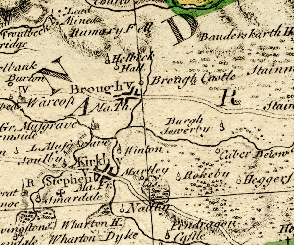 BO18NY71.jpg "Kirkby Stephen Ma. Fr. / V" blocks, on road, vicarage, town, market, cross potent for a charity school item:- Armitt Library : 2008.14.10 Image © see bottom of page |
|||
|
|
||||
| evidence:- | old map:- Jefferys 1770 (Wmd) placename:- Kirkby Stephen |
|||
| source data:- | Map, 4 sheets, The County of Westmoreland, scale 1 inch to 1
mile, surveyed 1768, and engraved and published by Thomas
Jefferys, London, 1770.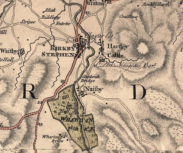 J5NY70NE.jpg "KIRKBY STEPHEN / Chayter Esqr." blocks on a street plan, labelled in block caps; settlement, market town?; and two unidentified houses item:- National Library of Scotland : EME.s.47 Image © National Library of Scotland |
|||
|
|
||||
| evidence:- | old map:- Jefferys 1770 placename:- Kirkby Stephen |
|||
| source data:- | Map, 4 sheets, The County of Westmoreland, scale 1 inch to 1
mile, surveyed 1768, and engraved and published by Thomas
Jefferys, London, 1770.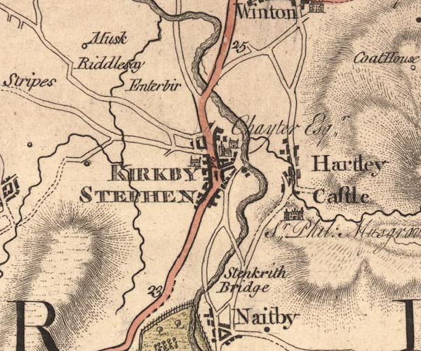 JEF5KrSt.jpg "KIRKBY STEPHEN" blocks on a street plan, church, large houses item:- National Library of Scotland : EME.s.47 Image © National Library of Scotland |
|||
|
|
||||
| evidence:- | old text:- Pennant 1773 placename:- Kirkby Stephen item:- placename, Kirkby Stephen; stockings |
|||
| source data:- | Book, A Tour from Downing to Alston Moor, 1773, by Thomas
Pennant, published by Edward Harding, 98 Pall Mall, London, 1801. goto source Pennant's Tour 1773, page 123 "I reached Kirkby Stephen, a small town in a most fertile bottom, prettily wooded, and bounded by verdant hills. It consists of only one street most irregularly built, and enjoys a small manufactory of knit-worsted stockings. The place takes its title from the church, which is dedicated to St. Stephen. ..." |
|||
|
|
||||
| evidence:- | old text:- Pennant 1773 item:- land tenure; customary tenure |
|||
| source data:- | Book, A Tour from Downing to Alston Moor, 1773, by Thomas
Pennant, published by Edward Harding, 98 Pall Mall, London, 1801. goto source Pennant's Tour 1773, page 135 "..." "Out of the eleven townships in this parish, only two are freehold; the rest are what is called in this county customary tenants, holding their lands from the lord by a small but fixed acknowledgment, and a fine on the death of the possessor. None of these can vote for members of Parliament; none can sell them without the consent of their lord; none can leave them from their son by will; and, in the case of want of a son, the eldest daughter is heiress. The possessor cannot dispose of any part by will, but must provide for his younger children by a deed. These tenures, which pervade I believe through the county, arose from grants made in ages when land was of little value, and bestowed by lords on their villains, as a relaxation of the severity of vassalage." |
|||
|
|
||||
| evidence:- | old map:- Pennant 1777 placename:- Kirkby Stephen |
|||
| source data:- | Map, hand coloured engraving, A Map of Scotland, Hebrides and
Part of England, drawn for Thomas Pennant, engraved by J Bayly,
published by Benjamin White, London, 1777. click to enlarge click to enlargePEN1Cm.jpg "Kirkby Stephen" circle; buildings, village, etc item:- private collection : 66 Image © see bottom of page |
|||
|
|
||||
| evidence:- | descriptive text:- West 1778 (11th edn 1821) |
|||
| source data:- | Guide book, A Guide to the Lakes, by Thomas West, published by
William Pennington, Kendal, Cumbria once Westmorland, and in
London, 1778 to 1821. goto source Tour to the Caves in the West Riding of Yorkshire, late 18th century Page 243:- "..." "... The Roman road is easily traced from Ribchester ... to Overborough; afterwards the Roman road goes through Casterton and Middleton, and, as some think, by Borrow-bridge and Orton, to Apulby. Others, and perhaps from better reasons, are of opinion, the road went by Sedbergh, or Sedburgh, [2] over Blewcaster, along Ravenstonedale-street, and through Kirkby-Stephen, to Brough or Burgh." |
|||
|
|
||||
| evidence:- | old text:- Camden 1789 placename:- St Stephen's placename:- Kirkby Stephen item:- market |
|||
| source data:- | Book, Britannia, or A Chorographical Description of the Flourishing Kingdoms of England,
Scotland, and Ireland, by William Camden, 1586, translated from the 1607 Latin edition
by Richard Gough, published London, 1789. goto source Page 147:- "... It [River Eden] afterwards runs by St. Stephens, commonly Kirkby Stephen, a noted market town: ..." |
|||
|
|
||||
| evidence:- | old text:- Camden 1789 (Gough Additions) placename:- Kirkby Stephen item:- market; stockings |
|||
| source data:- | Book, Britannia, or A Chorographical Description of the Flourishing Kingdoms of England,
Scotland, and Ireland, by William Camden, 1586, translated from the 1607 Latin edition
by Richard Gough, published London, 1789. Page 156:- "..." "Kirkby Stephen is a considerable market-town, where the stockings made in and near it are sold. ..." goto sourcePage 162:- "..." "... In 1774 was found in the peat pits near the town [Kirkby Stephen], two feet below the surface, a copper vessel, eight inches diameter at bottom, 14 at top, and 16 inches in the widest part just under the neck, depth 18 inches, containing about eight gallons and a half, made of three distinct plates, and much used in fire: being very slender it has six copper fillets at equal distances reaching up the sides two inches and a half, and turned over as much at bottom, which serve to support it, and it has within two ears with moveable rings, the whole of elegant workmanship." |
|||
|
|
||||
| evidence:- | old map:- Cary 1789 (edn 1805) placename:- Kirkby Stephen |
|||
| source data:- | Map, uncoloured engraving, Westmoreland, scale about 2.5 miles
to 1 inch, by John Cary, London, 1789; edition 1805.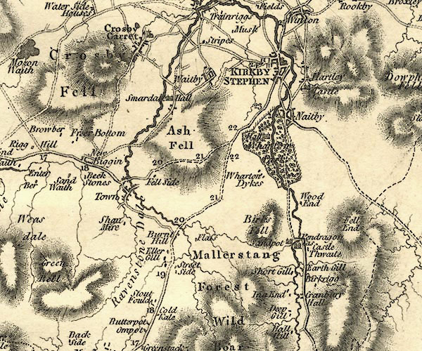 CY24NY70.jpg "KIRKBY STEPHEN" group of blocks, labelled in block caps; town item:- JandMN : 129 Image © see bottom of page |
|||
|
|
||||
| evidence:- | old map:- Aikin 1790 (Wmd) placename:- Kirkby Stephen |
|||
| source data:- | Map, uncoloured engraving, Westmoreland ie Westmorland, scale
about 8.5 miles to 1 inch, by John Aikin, London, 1790. click to enlarge click to enlargeAIK2.jpg "Kirkby Stephen" circle; town item:- JandMN : 51 Image © see bottom of page |
|||
|
|
||||
| evidence:- | old map:- Bailey 1797 placename:- Kirby Steven |
|||
| source data:- | Map, soil etc, uncoloured engraving, Westmoreland, scale about
12 miles to 1 inch, by J Bailey, engraved by Neele, Strand,
published by Messrs Robinson, Paternoster Row and G Nicol, Pall
Mall, London, 1797.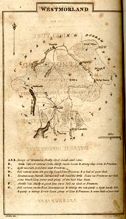 click to enlarge click to enlargeBY05.jpg "Kirby Steven" group of blocks; town item:- Armitt Library : A680.3 Image © see bottom of page |
|||
|
|
||||
| evidence:- | road book:- Cary 1798 (2nd edn 1802) placename:- Kirkby Stephen |
|||
| source data:- | Road book, itineraries, Cary's New Itinerary, by John Cary, 181
Strand, London, 2nd edn 1802. goto source click to enlarge click to enlargeC38315.jpg page 315-316 "Kirkby Stephen / At Kirkby Stephen, on r. a T.R. to Richmond." market town, post office goto source click to enlarge click to enlargeC38317.jpg page 317-318 "Kirkby Stephen" market town, post office goto source click to enlarge click to enlargeC38355.jpg page 355-356 "Kirkby Stephen" market town, post office item:- JandMN : 228.1 Image © see bottom of page |
|||
|
|
||||
| evidence:- | old map:- Cooke 1802 placename:- Kirkby Stephen |
|||
| source data:- | Map, Westmoreland ie Westmorland, scale about 12 miles to 1
inch, by George Cooke, 1802, published by Sherwood, Jones and
Co, Paternoster Road, London, 1824. click to enlarge click to enlargeGRA1Wd.jpg "Kirkby Stephen / 281" blocks, upright lowercase text; town, distance from London item:- Hampshire Museums : FA2000.62.4 Image © see bottom of page |
|||
|
|
||||
| evidence:- | old map:- Luffman 1803 placename:- Kirkby Stephen |
|||
| source data:- | Map, hand coloured engraving, Westmoreland ie Westmorland, scale
about 37 miles to 1 inch, by John Luffman, 28 Little Bell Alley,
Coleman Street, London, 1803-06.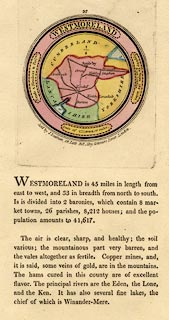 click to enlarge click to enlargeLUF4.jpg "Kirkby Stephen" circle; town item:- Dove Cottage : 2007.38.46 Image © see bottom of page |
|||
|
|
||||
| evidence:- | old map:- Laurie and Whittle 1806 placename:- Kirkby Stephen |
|||
| source data:- | Road map, Continuation of the Roads to Glasgow and Edinburgh,
scale about 10 miles to 1 inch, by Nathaniel Coltman? 1806,
published by Robert H Laurie, 53 Fleet Street, London, 1834. click to enlarge click to enlargeLw21.jpg "Kirkby Stephen 266½" market town; distance from London item:- private collection : 18.21 Image © see bottom of page |
|||
|
|
||||
| evidence:- | old text:- Capper 1808 placename:- Kirkby Stephen item:- population; market; fair |
|||
| source data:- | Gazetteer, A Topographical Dictionary of the United Kingdom,
compiled by Benjamin Pitts Capper, published by Richard
Phillips, Bridge Street, Blackfriars, London, 1808; published
1808-29. goto source "..." "KIRKBY STEPHEN, a market-town and parish in East ward, Westmoreland, 4 miles from Brough, and 265 from London; containing 200 houses and 1141 inhabitants, of whom 285 were returned as employed in various trades, &c. It is seated on the west bank of the river Eden, and consists chiefly of one large street, indifferently built, opening to Helbec mountain at one extremity, and Wildbore at the other. The parish church is large and handsome, ... adjoining it a large and elegant parsonage house, and a good free school that has two exhibitions. It formerly had a large open market place, 70 yards wide, and nearly 100 long, but it has been lately built upon. The market has a very good connection with the surrounding country, although the situation is bleak and mountainous. The stocking manufacture is carried on here, but the chief traffic of the inhabitants consists in grazing and supplying the Liverpool market with cattle. Near the town are the ruins of Penpragon (sic) castle, ... Market on Monday. Fair St. Luke's Day. The living is a vicarage value 48l. 19s. 2d. - Burn's Westmoreland." "..." |
|||
|
|
||||
| evidence:- | old map:- Cooper 1808 placename:- Kirkby Stephen |
|||
| source data:- | Map, hand coloured engraving, Westmoreland ie Westmorland, scale
about 9 miles to 1 inch, by H Cooper, 1808, published by R
Phillips, Bridge Street, Blackfriars, London, 1808. click to enlarge click to enlargeCOP4.jpg "Kirkby Stephen" circle with two side bars; town item:- Dove Cottage : 2007.38.53 Image © see bottom of page |
|||
|
|
||||
| evidence:- | old map:- Wallis 1810 (Wmd) placename:- Kirkby Stephen |
|||
| source data:- | Road map, Westmoreland, scale about 19 miles to 1 inch, by James
Wallis, 77 Berwick Street, Soho, 1810, published by W Lewis,
Finch Lane, London, 1835? click to enlarge click to enlargeWAL5.jpg "Kirkby Stephen / 287" town; distance from London item:- JandMN : 63 Image © see bottom of page |
|||
|
|
||||
| evidence:- | descriptive text:- Wallis 1810 placename:- Kirkby Stephen |
|||
| source data:- | Map, Westmoreland, scale about 19 miles to 1 inch, and
Cumberland, scale about 16 miles to 1 inch, by James Wallis, 77
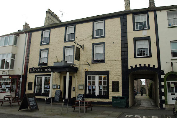
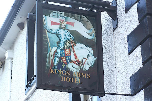
Berwick Street, Soho, London, 1810; published 1810-36. "PRINCIPAL INNS, RECOMMENDED TO TRAVELLERS AND FAMILIES." "Kirkby Stephen: Black Bull, King's Arms, Pack Horse." "..." "PRINCIPAL FAIRS." "Kirkby Stephen: Easter Monday, Tuesday after Whitsunday, Oct. 29, black cattle, sheep, and flax." |
|||
|
|
||||
| evidence:- | old map:- Hall 1820 (Wmd) placename:- Kirkby Stephen |
|||
| source data:- | Map, hand coloured engraving, Westmoreland ie Westmorland, scale
about 14.5 miles to 1 inch, by Sidney Hall, London, 1820,
published by Samuel Leigh, 18 Strand, London, 1820-31. click to enlarge click to enlargeHA18.jpg "Kirkby Stephen / 278" circle, upright lowercase text; town; distance from London item:- Armitt Library : 2008.14.58 Image © see bottom of page |
|||
|
|
||||
| evidence:- | old map:- Greenwood 1824 (Wmd) placename:- Kirkby Stephen |
|||
| source data:- | Map, hand coloured engraving, Map of the County of Westmorland,
scale about 1 inch to 1 mile, by C and J Greenwood, published by
George Pringle jnr, 70 Queen Street, Cheapside, London, 1824.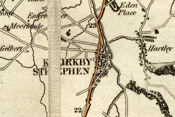 grw5krbs.jpg "KIRKBY STEPHEN" street map; labelled in block caps for a market town. item:- Armitt Library : A1827 Image © see bottom of page |
|||
|
|
||||
| evidence:- | old text:- Gents Mag placename:- Kirkby Steven |
|||
| source data:- | Magazine, The Gentleman's Magazine or Monthly Intelligencer or
Historical Chronicle, published by Edward Cave under the
pseudonym Sylvanus Urban, and by other publishers, London,
monthly from 1731 to 1922. goto source Gentleman's Magazine 1825 part 1 p.514 From the Compendium of County History:- "Langhorne, Dr. John, the poet, and brother of William, Kirkby Steven, 1785." |
|||
|
|
||||
| evidence:- | old map:- Cobbett 1832 placename:- Kirby Stephen |
|||
| source data:- | Map, uncoloured engraving, Westmoreland ie Westmorland, scale
about 7 miles to 1 inch, by William Cobbett, 11 Bolt Court,
Fleet Street, London, 1832. click to enlarge click to enlargeCOB4.jpg "Kirby Stephen" dot and circle; town @cty Cumberland item:- JandMN : 116 Image © see bottom of page |
|||
|
|
||||
| evidence:- | old map:- Ford 1839 map placename:- Kirkby Stephen |
|||
| source data:- | Map, uncoloured engraving, Map of the Lake District of
Cumberland, Westmoreland and Lancashire, scale about 3.5 miles
to 1 inch, published by Charles Thurnam, Carlisle, and by R
Groombridge, 5 Paternoster Row, London, 3rd edn 1843.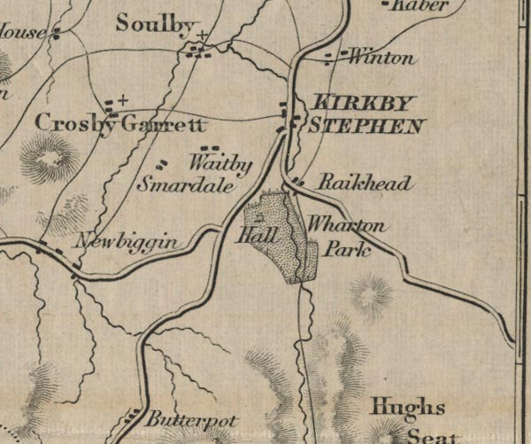 FD02NY70.jpg "KIRKBY STEPHEN" item:- JandMN : 100.1 Image © see bottom of page |
|||
|
|
||||
| evidence:- | old text:- Gents Mag item:- token; trade token |
|||
| source data:- | Magazine, The Gentleman's Magazine or Monthly Intelligencer or
Historical Chronicle, published by Edward Cave under the
pseudonym Sylvanus Urban, and by other publishers, London,
monthly from 1731 to 1922. goto source Gentleman's Magazine 1853 part 1 p.494 "[tokens described by Mr. Brockett are] ..." "Six for Kirkby Stephen:-" "1. Heart-shaped, with the arms of the Merchant Adventurers. The initials are probably W.R.R. not W.H.R. as here engraved." 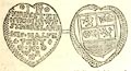 click to enlarge click to enlargeG853E17.jpg "2. That of "John Fallowfield and R.P. mercers."" 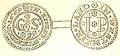 click to enlarge click to enlargeG853E18.jpg "3. H.R. 1659. Device, a pair of scales." "4. The halfpenny shown above (but KIRBY is spelt in the original without the K.)" "5. The farthing of "Margre Sanderson;" device, a crown." "6. Jeoffrey Thompson. Obv. a crown; Rev. a heart pierced with two arrows, with an eye above." |
|||
|
|
||||
| evidence:- | old map:- County Associations 1950 placename:- Kirkby Stephen |
|||
| source data:- | Town plan, uncoloured lithograph, Appleby, Westmorland, scale about 4 inches to 1
mile, published by The County Associations, Bourdon Street, Berkeley Square, London,
1950. click to enlarge click to enlargeWMD1M6.jpg Town plan, uncoloured lithograph, Kirkby Stephen, Westmorland, scale about 5 inches to 1 mile, published in The Westmorland Official County Guide by The County Associations, Bourdon Street, Berkeley Square, London, 1950. item:- JandMN : 1000.6 Image © see bottom of page |
|||
|
|
||||
| evidence:- | market notes:- placename:- Kerkeby Stephan item:- market |
|||
| source data:- | www.history.ac.uk/cmh/gaz/gazweb2.htmPalmer's Index No.93:: Public Record OfficeOwen: 1792: New Book of Fairs: 1889: Market Rights and Tolls: HM GovernmentBowen, Emanuel &Kitchin, Thomas: 1760: New Map of the Counties of Cumberland and Westmoreland | |||
|
|
||||
 Post Office maps Post Office maps |
||||
|
|
||||
| evidence:- | old photograph:- Bogg 1898 |
|||
| source data:- | Photograph, halftone print, Street View, Kirkby Stephen, Westmorland, by Edmund Bogg,
published by Edmund Bogg, 3 Woodhouse Lane, and James Miles, Guildford Street, Leeds,
Yorkshire, 1898. click to enlarge click to enlargeBGG127.jpg Included on p.110 of Lakeland and Ribblesdale, by Edmund Bogg. item:- JandMN : 231.27 Image © see bottom of page |
|||
|
|
||||
| evidence:- | old photograph:- Bogg 1898 |
|||
| source data:- | Photograph, halftone print, A Bit of Old Kirkby, Kirkby Stephen, Westmorland, by Edmund
Bogg, published by Edmund Bogg, 3 Woodhouse Lane, and James Miles, Guildford Street,
Leeds, Yorkshire, 1898.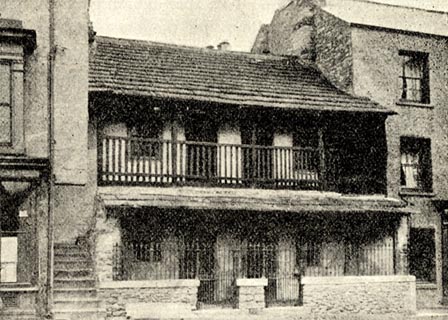 click to enlarge click to enlargeBGG129.jpg Included on p.113 of Lakeland and Ribblesdale, by Edmund Bogg. item:- JandMN : 231.29 Image © see bottom of page |
|||
|
|
||||
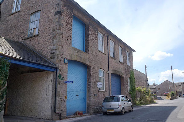
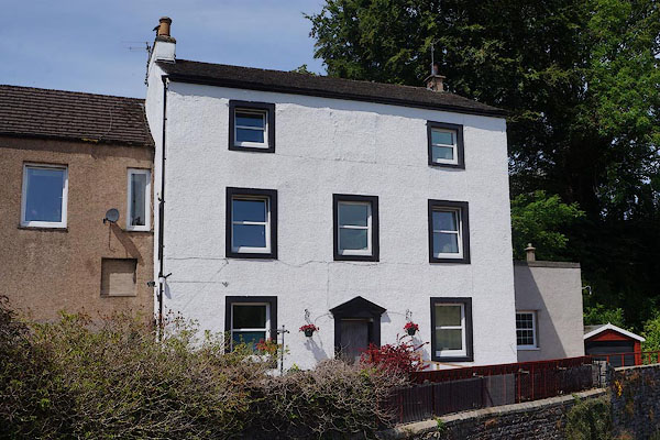
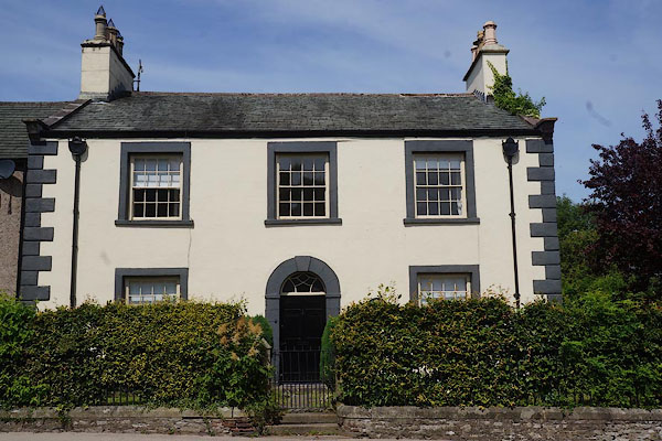
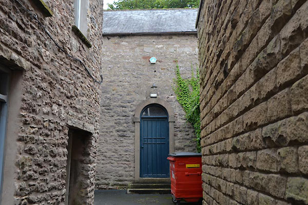
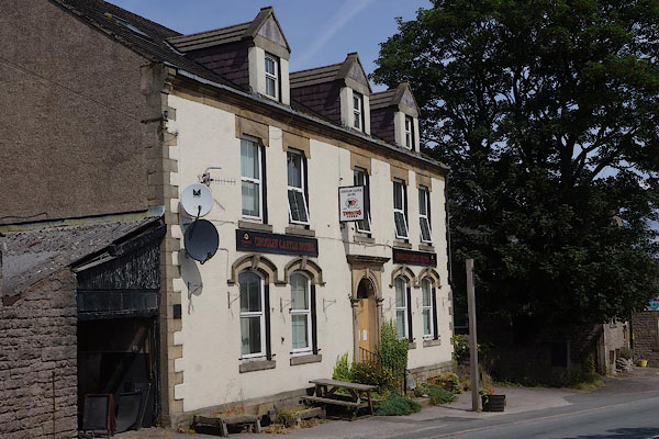
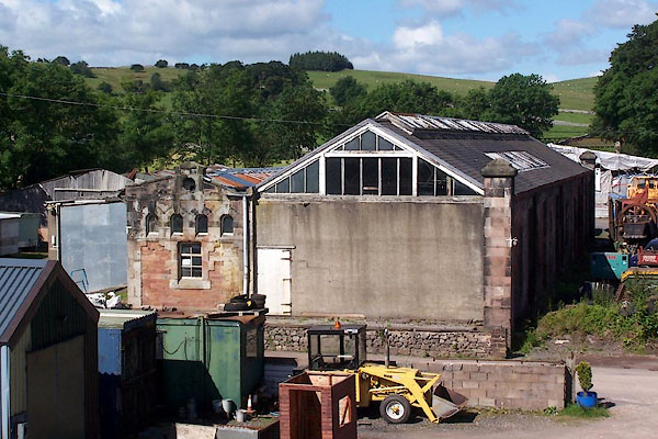
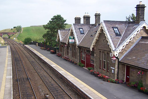
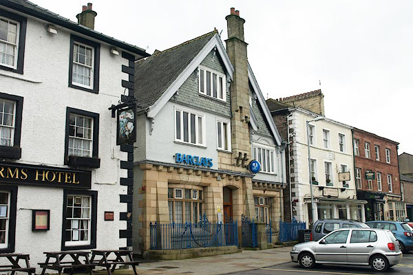
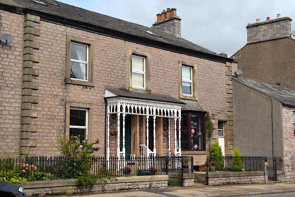
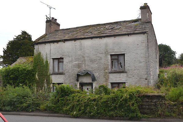
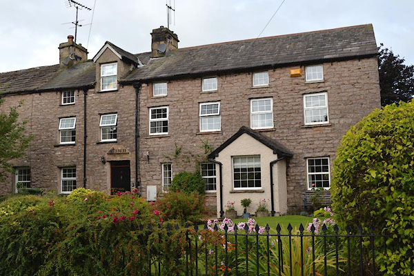
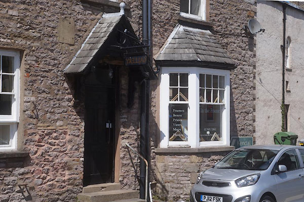
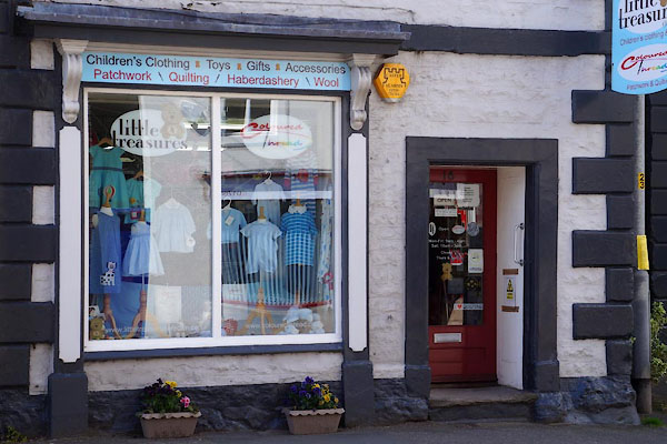
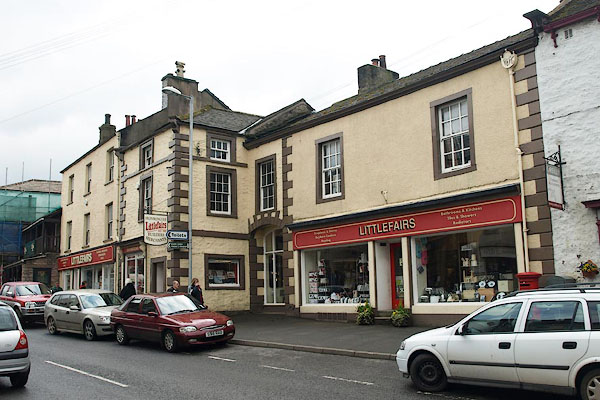
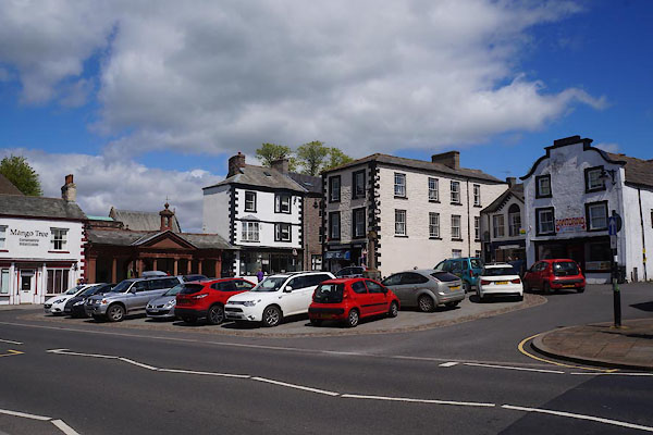
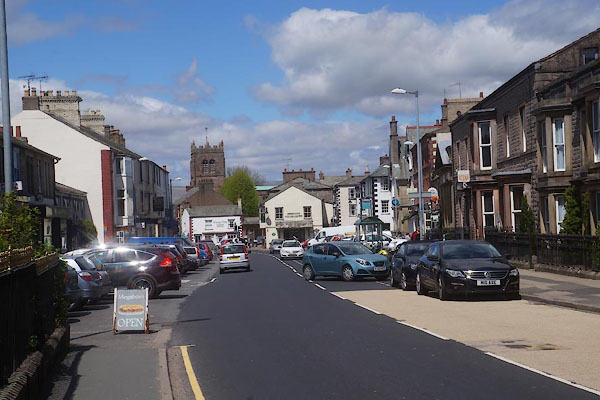
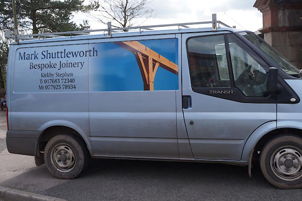
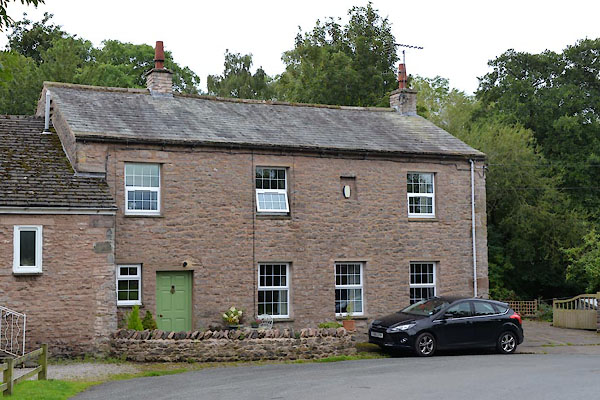
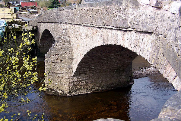
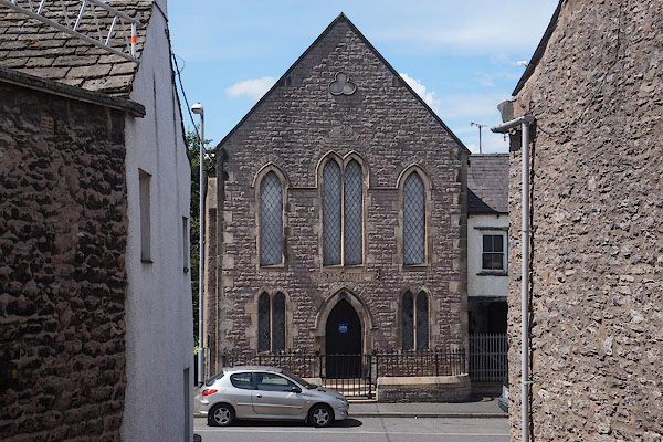
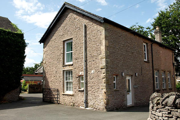
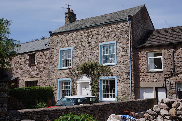
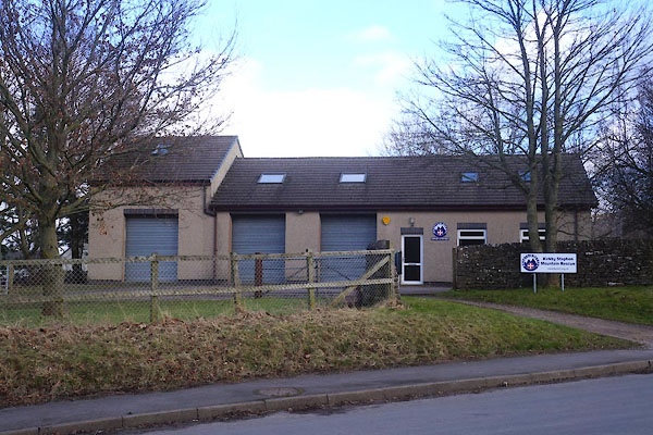
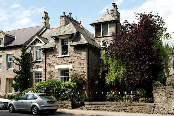
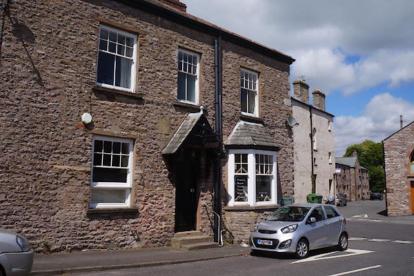
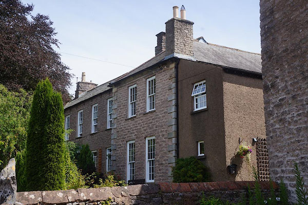
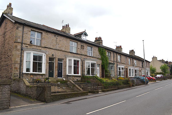
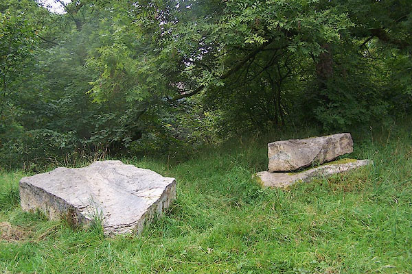
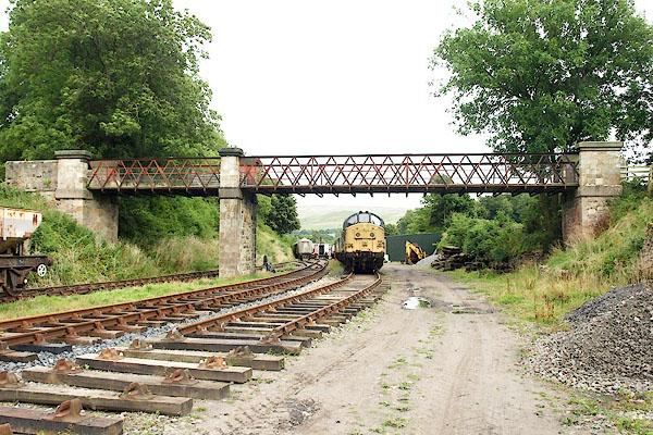
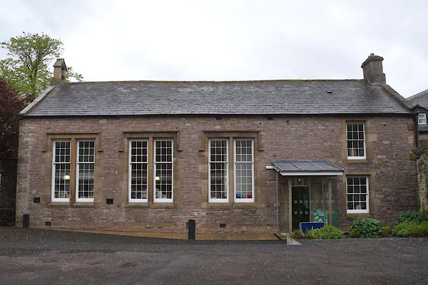
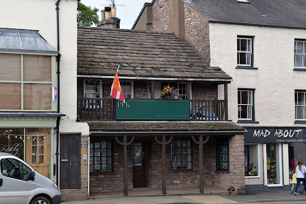
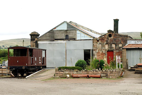
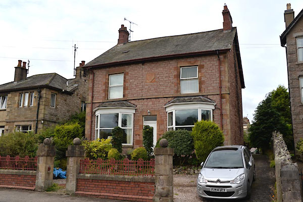
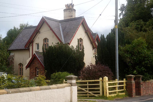
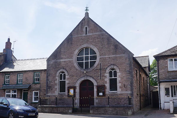
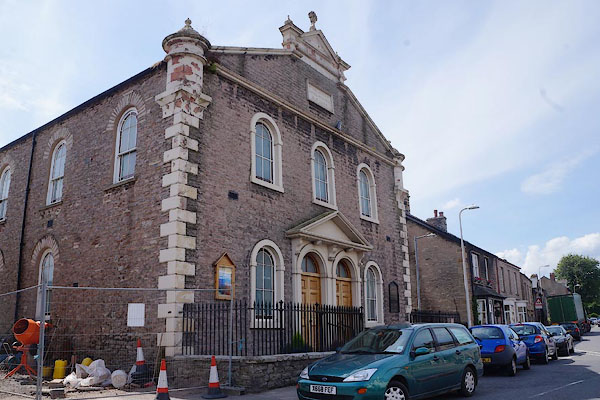
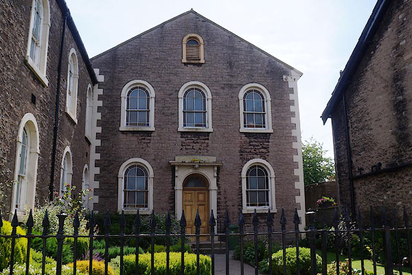
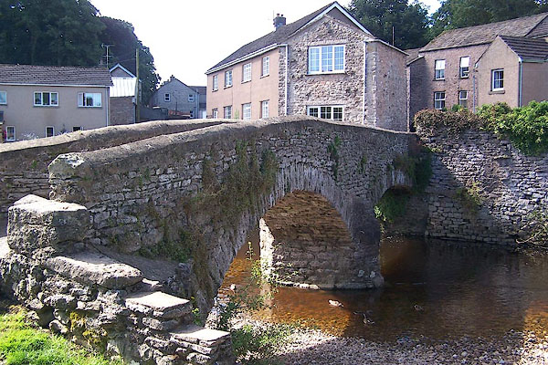
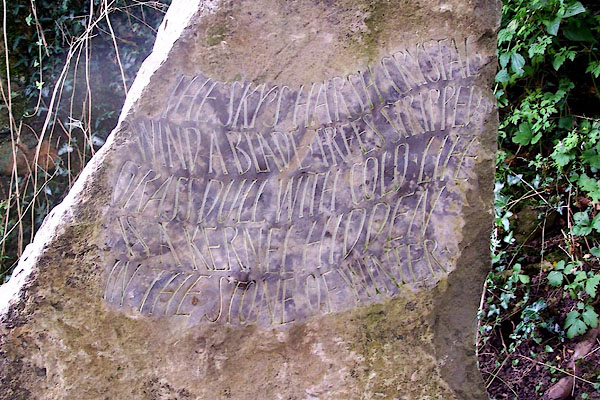
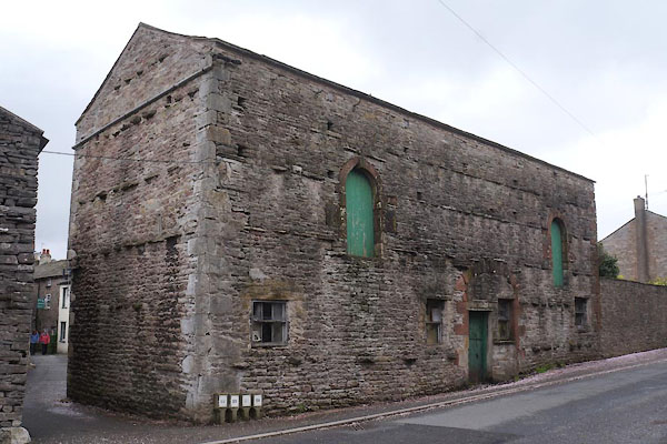
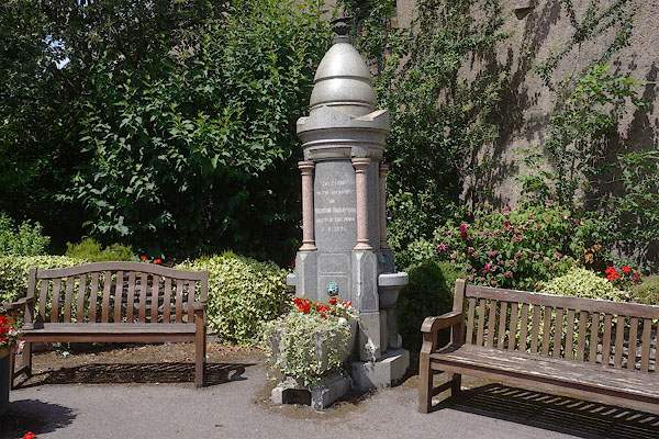
 BLW82.jpg From Hartley. (taken 21.4.2006)  BMH58.jpg (taken 30.6.2006) 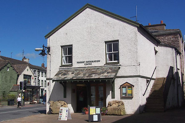 BNX57.jpg Tourist Information Centre. (taken 8.8.2007) 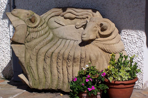 BNX58.jpg Seat at the Tourist Information Centre. (taken 8.8.2007) 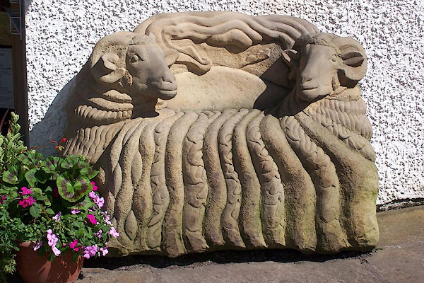 BNX59.jpg Seat at the Tourist Information Centre. (taken 8.8.2007) 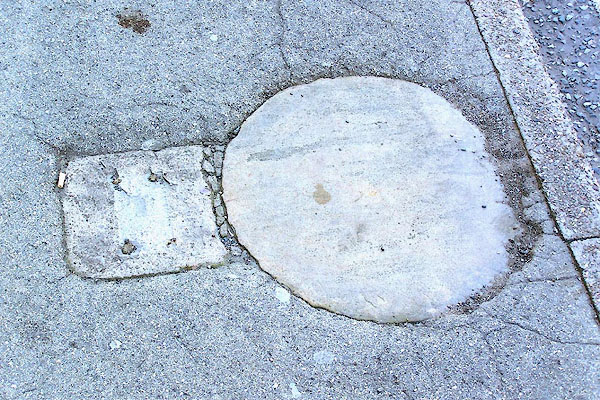 BNX60.jpg The Charter Stone; from which the Kirkby Stephen Charter Fair is proclaimed, St Luke's Day, 27 October. (taken 8.8.2007) 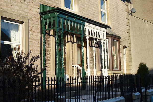 BTV59.jpg A pair of porches. (taken 24.12.2010) |
||||
|
|
||||
| places:- |
|
|||
|
||||
|
||||
|
||||
|
||||
|
||||
|
||||
|
||||
|
||||
|
||||
|
||||
|
||||
|
||||
|
||||
|
||||
|
||||
|
||||
|
||||
|
||||
|
||||
|
||||
|
||||
|
||||
|
||||
|
||||
|
||||
|
||||
|
||||
|
||||
|
||||
|
||||
|
||||
|
||||
|
||||
|
||||
|
||||
|
||||
|
||||
|
||||
|
||||
|
||||
|
||||
|
||||
|
||||
|
||||
|
||||
|
||||
|
||||
|
||||
|
||||
|
||||
|
||||
|
||||
|
||||
|
||||
|
||||
|
||||
|
||||
|
||||
|
||||
|
||||
|
||||
|
||||
|
||||
|
||||
|
||||
|
||||
|
||||
|
||||
|
||||
|
||||
|
||||
|
||||
|
||||
|
||||
|
||||
|
||||
|
||||
|
||||
|
||||
|
||||
|
||||
|
||||
|
||||
|
||||
|
||||
|
||||
|
||||
|
||||
|
||||
|
||||
|
||||
|
||||
|
||||
|
||||
|
||||
|
||||
|
||||
|
||||
|
||||
|
||||
|
||||
|
||||
|
||||
|
||||
|
||||
|
||||
|
||||
|
||||
|
||||
|
||||
|
||||
|
||||
|
||||
|
||||
|
||||
|
||||
|
||||
|
||||
|
||||
|
||||
|
||||
|
||||
|
||||
Lakes Guides menu.