item:- private collection : 85
image:- © see bottom of page
 SPD6Cm.jpg
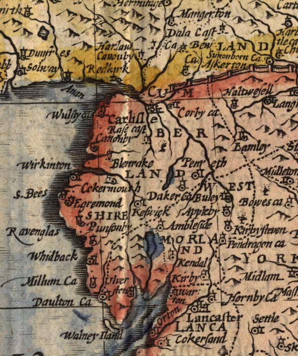
Map, hand coloured engraving, Kingdome of Great Britaine and
Ireland, scale about 36 miles to 1 inch, by John Speed, about
1610-11, published by Thomas Bassett, Fleet Street and Richard
Chiswell, St Paul's Churchyard, London, 1676?
 Lakes Guides menu.