 Old Cumbria Gazetteer
 |
 |
|
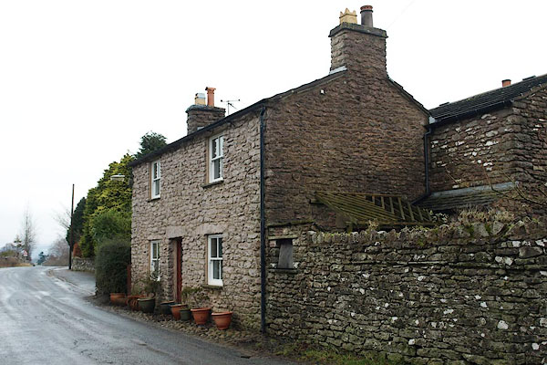
| Bollam Lane Turnpike, Kirkby Stephen | ||
| Bollam Lane Turnpike | ||
| site name:- | road, Kirkby Stephen to Hawes (?) | |
| locality:- | Kirkby Stephen | |
| civil parish:- | Kirkby Stephen (formerly Westmorland) | |
| county:- | Cumbria | |
| locality type:- | toll gate (site) | |
| coordinates:- | NY77570812 | |
| 1Km square:- | NY7708 | |
| 10Km square:- | NY70 | |
| references:- | OS County Series |
|
|
|
||
 BRZ35.jpg (taken 22.1.2010) |
||
|
|
||
| evidence:- | old map:- OS County Series (Wmd 23 15) |
|
| source data:- | Maps, County Series maps of Great Britain, scales 6 and 25
inches to 1 mile, published by the Ordnance Survey, Southampton,
Hampshire, from about 1863 to 1948. "Bollam Lane T.P." gate across road and a building |
|
|
|
||
 Lakes Guides menu.