Old Cumbria Gazetteer
 |
 |
|
||
| Workington | ||||
| Wukkit'n | ||||
| civil parish:- | Workington (formerly Cumberland) | |||
| county:- | Cumbria | |||
| locality type:- | locality | |||
| locality type:- | buildings | |||
| locality type:- | selected place | |||
| locality type:- | twinned town | |||
| coordinates:- | NY00572855 (etc) | |||
| 1Km square:- | NY0028 | |||
| 10Km square:- | NY02 | |||
| latitude; longitude:- | 3d 32.5m W; 54d 38.5m N | |||
|
|
||||
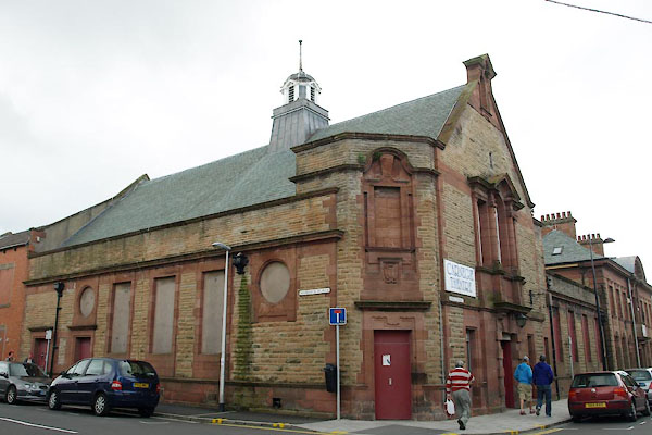
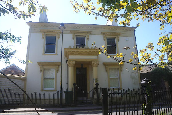
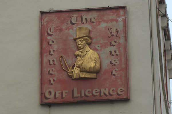
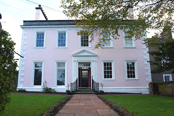
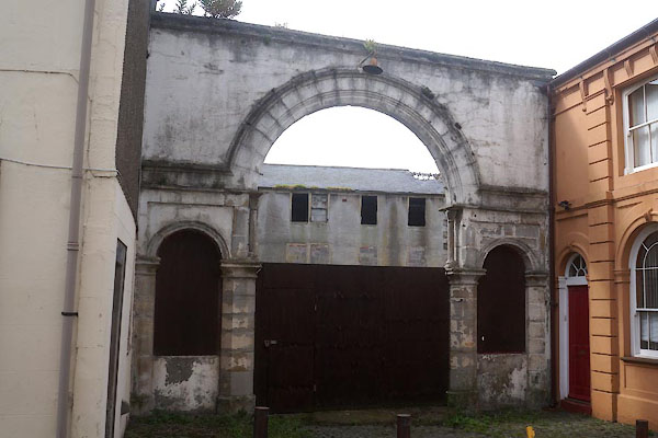
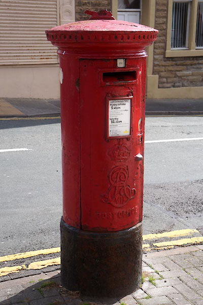
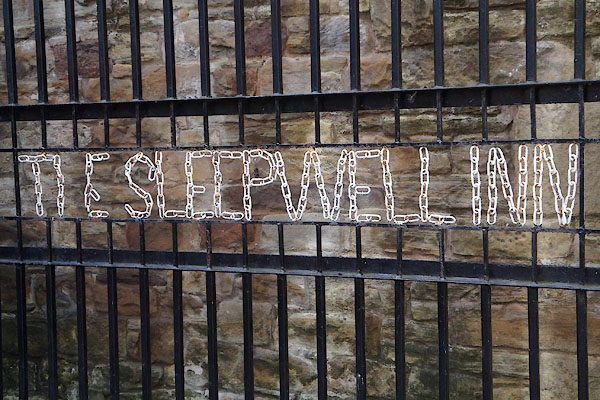
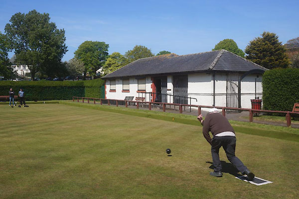
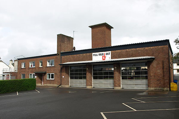
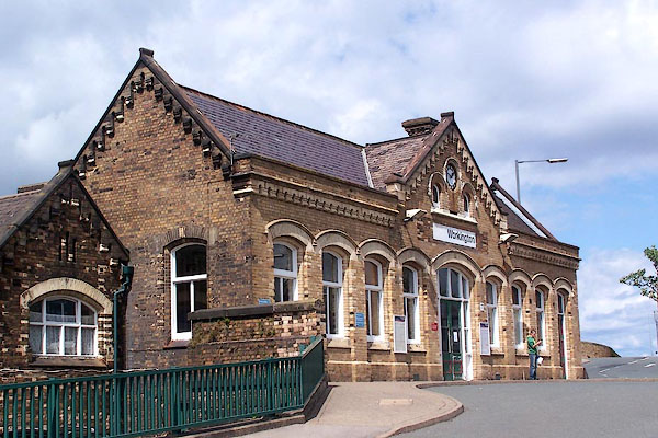
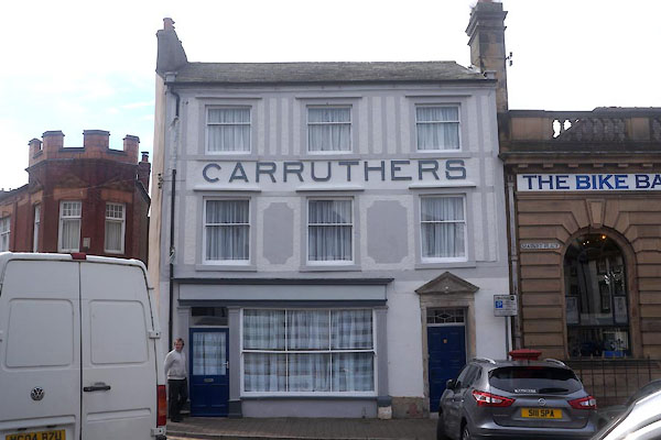
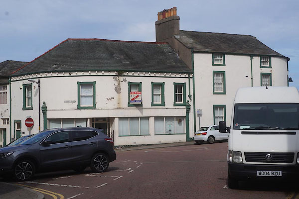
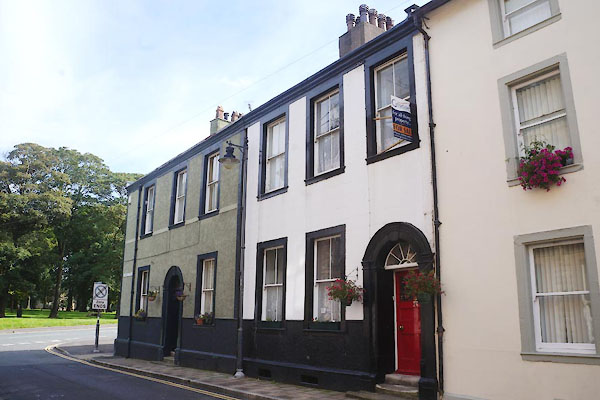
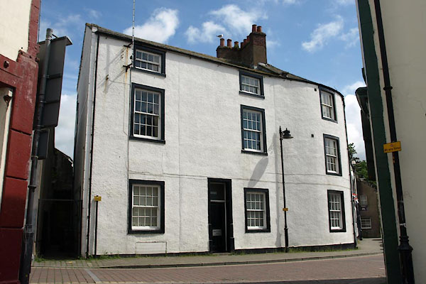
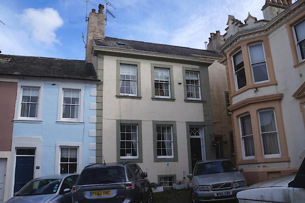
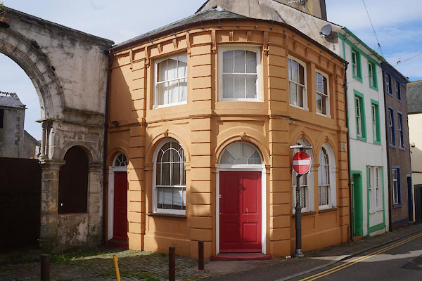
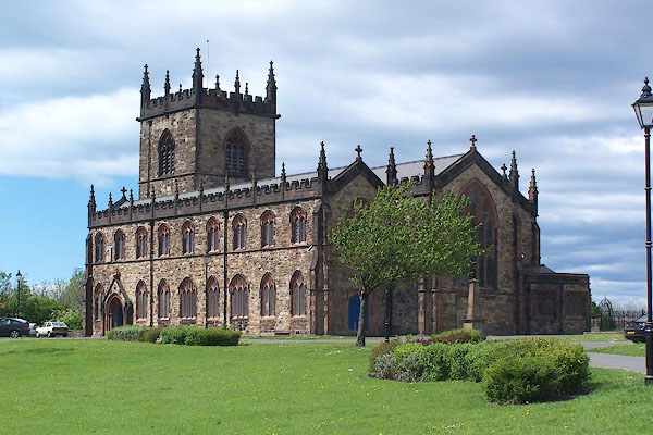
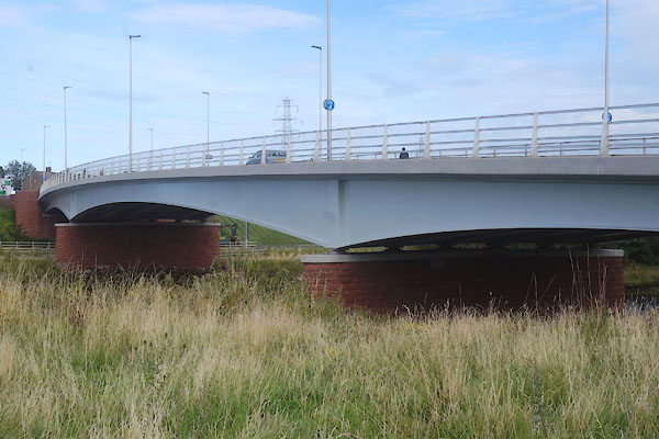
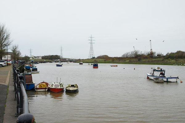
 BUO26.jpg (taken 13.5.2011) |
||||
|
|
||||
| evidence:- | old map:- OS County Series (Cmd 53 7) placename:- Workington |
|||
| source data:- | Maps, County Series maps of Great Britain, scales 6 and 25
inches to 1 mile, published by the Ordnance Survey, Southampton,
Hampshire, from about 1863 to 1948. OS County Series (Cmd 53 11) |
|||
|
|
||||
| evidence:- | old map:- Gough 1350s-60s placename:- Workyngton |
|||
| source data:- | Map, colour photozincograph copy, reduced size facsimile, Gough
Map of Britain, scale about 28.5 miles to 1 inch, published by
the Ordnance Survey, Southampton, Hampshire, 1875. click to enlarge click to enlargeGgh1Cm.jpg item:- JandMN : 33 Image © see bottom of page |
|||
|
|
||||
| evidence:- | old map:- Gough 1350s-60s placename:- Workyngton |
|||
| source data:- | Map, lithograph facsimile, Gough Map of Britain, 20 miles to 1
inch? published by the Ordnance Survey, Southampton, Hampshire,
1935. click to enlarge click to enlargeGgh2Cm.jpg item:- JandMN : 34 Image © see bottom of page |
|||
|
|
||||
| evidence:- | old map:- Lloyd 1573 placename:- Wynkinton |
|||
| source data:- | Map, hand coloured copper plate engraving, Angliae Regni,
Kingdom of England, with Wales, scale about 24 miles to 1 inch, authored by Humphrey
Lloyd, Denbigh, Clwyd, drawn and engraved
by Abraham Ortelius, Netherlands, 1573. click to enlarge click to enlargeLld1Cm.jpg "Wynkinton" item:- Hampshire Museums : FA1998.69 Image © see bottom of page |
|||
|
|
||||
| evidence:- | old map:- Saxton 1579 placename:- Wirkinton |
|||
| source data:- | Map, hand coloured engraving, Westmorlandiae et Cumberlandiae Comitatus ie Westmorland
and Cumberland, scale about 5 miles to 1 inch, by Christopher Saxton, London, engraved
by Augustinus Ryther, 1576, published 1579-1645.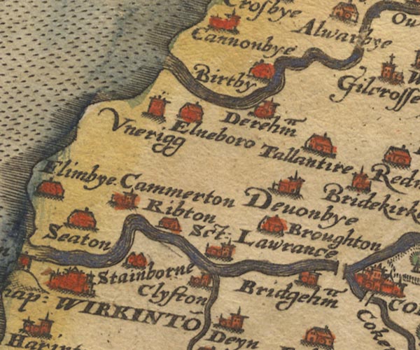 Sax9NY03.jpg Buildings and towers, symbol for a town. "WIRKINTO~" item:- private collection : 2 Image © see bottom of page |
|||
|
|
||||
| evidence:- | old map:- Mercator 1595 (edn?) placename:- Wirkinton |
|||
| source data:- | Map, hand coloured engraving, Northumbria, Cumberlandia, et
Dunelmensis Episcopatus, ie Northumberland, Cumberland and
Durham etc, scale about 6.5 miles to 1 inch, by Gerard Mercator,
Duisberg, Germany, about 1595.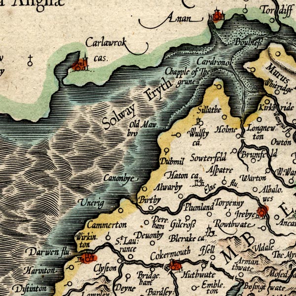 MER8CumB.jpg "Wirkinton" circle, building/s, tower, tinted red item:- JandMN : 169 Image © see bottom of page |
|||
|
|
||||
| evidence:- | old map:- Keer 1605 placename:- Wirkinton |
|||
| source data:- | Map, hand coloured engraving, Westmorland and Cumberland, scale
about 16 miles to 1 inch, probably by Pieter van den Keere, or
Peter Keer, about 1605 edition perhaps 1676. click to enlarge click to enlargeKER8.jpg "Wirkinton" dot, two circle, tower, tinted red; town item:- Dove Cottage : 2007.38.110 Image © see bottom of page |
|||
|
|
||||
| evidence:- | old map:- Speed 1611 (Cum/EW) placename:- Wirkinton |
|||
| source data:- | Map, hand coloured engraving, Kingdome of Great Britaine and
Ireland, scale about 36 miles to 1 inch, by John Speed, about
1610-11, published by Thomas Bassett, Fleet Street and Richard
Chiswell, St Paul's Churchyard, London, 1676? click to enlarge click to enlargeSPD6Cm.jpg "Wirkinton" dot, circle, and tower item:- private collection : 85 Image © see bottom of page |
|||
|
|
||||
| evidence:- | old map:- Speed 1611 (Cmd) placename:- Werkinton |
|||
| source data:- | Map, hand coloured engraving, Cumberland and the Ancient Citie
Carlile Described, scale about 4 miles to 1 inch, by John Speed,
1610, published by J Sudbury and George Humble, Popes Head
Alley, London, 1611-12.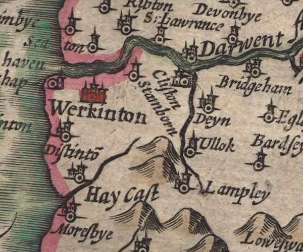 SP11NY02.jpg "Werkinton" circle, buildings, towers item:- private collection : 16 Image © see bottom of page |
|||
|
|
||||
| evidence:- | table of distances:- Simons 1635 placename:- Werkington |
|||
| source data:- | Table of distances, uncoloured engraving, Cumberland, with a
thumbnail map, scale about 41 miles to 1 inch, by Mathew Simons,
published in A Direction for the English Traviller, 1635.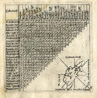 click to enlarge click to enlargeSIM4.jpg "Werkingto~ SW" and tabulated distances; on thumbnail map item:- private collection : 50.11 Image © see bottom of page |
|||
|
|
||||
| evidence:- | old map:- Jenner 1643 placename:- Wirkinton |
|||
| source data:- | Tables of distances with a maps, Westmerland, scale about 16
miles to 1 inch, and Cumberland, scale about 21 miles to 1 inch,
published by Thomas Jenner, London, 1643; published 1643-80. JEN4Sq.jpg "Wirkinton" circle |
|||
|
|
||||
| evidence:- | old map:- Jansson 1646 placename:- Werkinton |
|||
| source data:- | Map, hand coloured engraving, Cumbria and Westmoria, ie
Cumberland and Westmorland, scale about 3.5 miles to 1 inch, by
John Jansson, Amsterdam, Netherlands, 1646.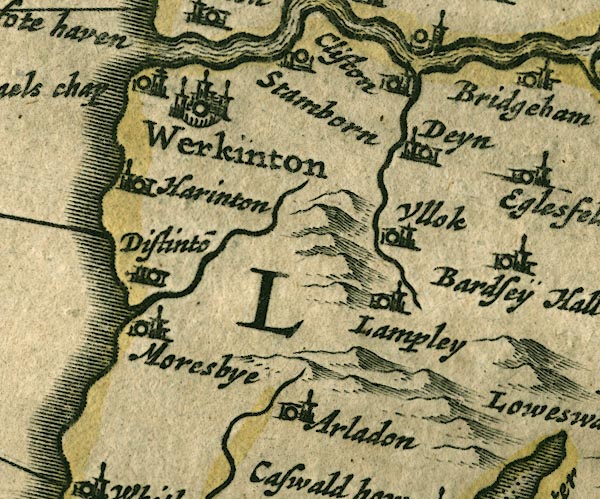 JAN3NY02.jpg "Werkinton" Buildings and towers, suggestion of a wall, notice ?fence palings; upright lowercase text; market town. item:- JandMN : 88 Image © see bottom of page |
|||
|
|
||||
| evidence:- | old map:- Sanson 1679 placename:- Werkinton |
|||
| source data:- | Map, hand coloured engraving, Ancien Royaume de Northumberland
aujourdhuy Provinces de Nort, ie the Ancient Kingdom of
Northumberland or the Northern Provinces, scale about 9.5 miles
to 1 inch, by Nicholas Sanson, Paris, France, 1679. click to enlarge click to enlargeSAN2Cm.jpg "Werkinton" circle, buildings and towers; town item:- Dove Cottage : 2007.38.15 Image © see bottom of page |
|||
|
|
||||
| evidence:- | old map:- Seller 1694 (Cmd) placename:- Werkinton |
|||
| source data:- | Map, uncoloured engraving, Cumberland, scale about 12 miles to 1
inch, by John Seller, 1694. click to enlarge click to enlargeSEL9.jpg "Werkinton" circle, italic lowercase text; settlement or house item:- Dove Cottage : 2007.38.89 Image © see bottom of page |
|||
|
|
||||
| evidence:- | old map:- Morden 1695 (Cmd) placename:- Workington |
|||
| source data:- | Map, uncoloured engraving, Cumberland, scale about 4 miles to 1
inch, by Robert Morden, 1695, published by Abel Swale, the
Unicorn, St Paul's Churchyard, Awnsham, and John Churchill, the
Black Swan, Paternoster Row, London, 1695-1715.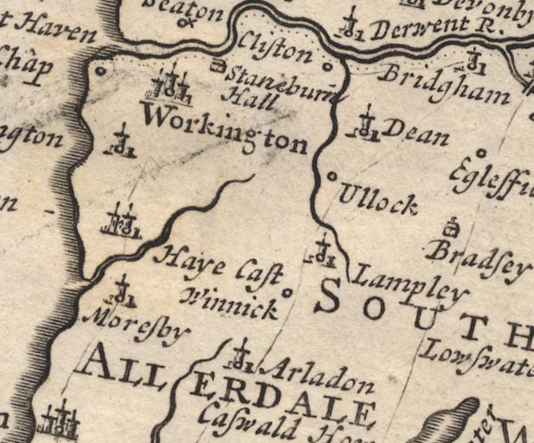 MD12NY02.jpg "Workington" Circle, buildings, towers. item:- JandMN : 90 Image © see bottom of page |
|||
|
|
||||
| evidence:- | old map:- Badeslade 1742 placename:- Workington |
|||
| source data:- | Map, uncoloured engraving, A Map of Cumberland North from
London, scale about 11 miles to 1 inch, with descriptive text,
by Thomas Badeslade, London, engraved and published by William
Henry Toms, Union Court, Holborn, London, 1742. click to enlarge click to enlargeBD10.jpg "Workington" circle, labelled in upright lowercase text; town? item:- JandMN : 115 Image © see bottom of page |
|||
|
|
||||
| evidence:- | descriptive text:- Simpson 1746 placename:- Workington item:- salmon |
|||
| source data:- | Atlas, three volumes of maps and descriptive text published as
'The Agreeable Historian, or the Compleat English Traveller
...', by Samuel Simpson, 1746. goto source goto source"..." "Workington, a Town famous for Salmon-Fishing: The Salmon here are very good, and are carried fresh as they are taken up to London upon Horses, which changing often, go Night and Day without Intermission, and, as they say, out-go the Post; so that the Fish come very sweet and good to London, where the extraordinary Price they yield pays very well for the Carriage. The same is done from Carlisle." "The first Lord of the Manor of Workington, after the Norman Conquest, was William de Lancaster, who exchang'd it with Gospatrick, from whom are descended the Curwens, Knights, who have a noble Seat here; ..." goto source"... Workington, belonging to Henry Curwen, Esq; ..." |
|||
|
|
||||
| evidence:- | old map:- Bickham 1753-54 (Cmd) placename:- Workington |
|||
| source data:- | Map, uncoloured engraving, perspective map, Map of Cumberland
North from London, by George Bickham, James Street, Bunhill
Fields, London, 1753, published by F Jollie and Sons, Carlisle,
Cumberland, 1811.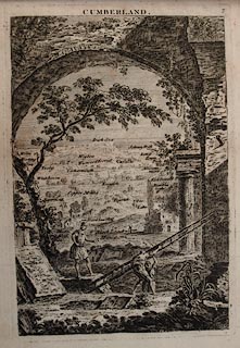 click to enlarge click to enlargeJL05.jpg "Workington" view (sort of) item:- Carlisle Library : 4.2 Image © Carlisle Library |
|||
|
|
||||
| evidence:- | old map:- Bowen and Kitchin 1760 placename:- Wirkington |
|||
| source data:- | Map, hand coloured engraving, A New Map of the Counties of
Cumberland and Westmoreland Divided into their Respective Wards,
scale about 4 miles to 1 inch, by Emanuel Bowen and Thomas
Kitchin et al, published by T Bowles, Robert Sayer, and John
Bowles, London, 1760.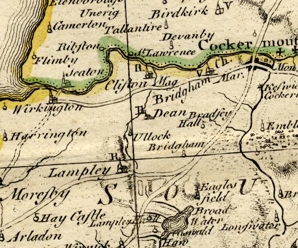 BO18NY02.jpg "Wirkington" circle, building and tower  BO18NX92.jpg circle and line item:- Armitt Library : 2008.14.10 Image © see bottom of page |
|||
|
|
||||
| evidence:- | old map:- Mackenzie 1760s placename:- Workington |
|||
| source data:- | Chart, uncoloured engraving, Solway Firth, Cumberland and
Scotland, scale about 1 inch to 1 mile, by Murdoch Mackenzie
snr, engraved by Thomas Bowen, Fleet Street, published by
Murdoch Mackenzie snr, Kenneth Mackenzie and Murdoch Mackenzie
jnr, London, 1776.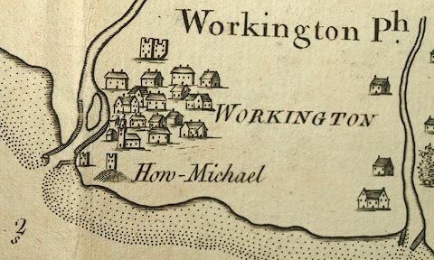 click to enlarge click to enlargeMCK9P5.jpg "WORKINGTON" item:- Carlisle Library : Map 327 Image © Carlisle Library |
|||
|
|
||||
| evidence:- | old map:- Donald 1774 (Cmd) placename:- Workington |
|||
| source data:- | Map, hand coloured engraving, 3x2 sheets, The County of Cumberland, scale about 1
inch to 1 mile, by Thomas Donald, engraved and published by Joseph Hodskinson, 29
Arundel Street, Strand, London, 1774.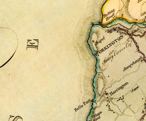 D4NX92NE.jpg "WORKINGTON" blocks, perhaps a church, labelled in block caps; a town with street plan item:- Carlisle Library : Map 2 Image © Carlisle Library |
|||
|
|
||||
| evidence:- | old map:- Donald 1774 (Cmd) placename:- Workington |
|||
| source data:- | Map, hand coloured engraving, 3x2 sheets, The County of Cumberland, scale about 1
inch to 1 mile, by Thomas Donald, engraved and published by Joseph Hodskinson, 29
Arundel Street, Strand, London, 1774.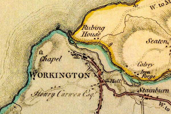 DN04Wrkn.jpg "WORKINGTON" Labelled in block caps for a market town; street map. item:- Carlisle Library : Map 2 Image © Carlisle Library |
|||
|
|
||||
| evidence:- | old map:- Donald 1774 (Cmd) placename:- Workington |
|||
| source data:- | Map, hand coloured engraving, 3x2 sheets, The County of Cumberland, scale about 1
inch to 1 mile, by Thomas Donald, engraved and published by Joseph Hodskinson, 29
Arundel Street, Strand, London, 1774. D4NX92NE.jpg "WORKINGTON" blocks, perhaps a church, labelled in block caps; a town with street plan item:- Carlisle Library : Map 2 Image © Carlisle Library |
|||
|
|
||||
| evidence:- | old map:- Donald 1774 (Cmd) placename:- Workington |
|||
| source data:- | Map, hand coloured engraving, 3x2 sheets, The County of Cumberland, scale about 1
inch to 1 mile, by Thomas Donald, engraved and published by Joseph Hodskinson, 29
Arundel Street, Strand, London, 1774. DN04Wrkn.jpg "WORKINGTON" Labelled in block caps for a market town; street map. item:- Carlisle Library : Map 2 Image © Carlisle Library |
|||
|
|
||||
| evidence:- | old map:- Pennant 1777 placename:- Workington |
|||
| source data:- | Map, hand coloured engraving, A Map of Scotland, Hebrides and
Part of England, drawn for Thomas Pennant, engraved by J Bayly,
published by Benjamin White, London, 1777.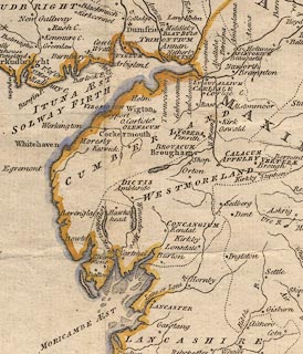 click to enlarge click to enlargePEN1Cm.jpg "Workington" circle; buildings, village, etc item:- private collection : 66 Image © see bottom of page |
|||
|
|
||||
| evidence:- | old text:- Camden 1789 placename:- Wirkinton item:- salmon fishery |
|||
| source data:- | Book, Britannia, or A Chorographical Description of the Flourishing Kingdoms of England,
Scotland, and Ireland, by William Camden, 1586, translated from the 1607 Latin edition
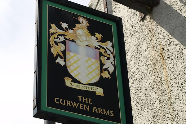
by Richard Gough, published London, 1789. goto source Page 171:- "[The Derwent] throws itself into the ocean at Wirkinton, famous for a salmon fishery. It is now the seat of the antient knightly family of the Curwens, who derive their descent from Gospatrick earl of Northumberland, and took their surname by agreement from Culwen, a family of Galloway, whose heir they married. They have here a noble mansion like a castle, and from them, if I may be allowed to mention it without imputation of vanity, I derive my descent by the mother's side." |
|||
|
|
||||
| evidence:- | old text:- Camden 1789 (Gough Additions) placename:- Wyrkenton item:- fishery; salt pans; cattle |
|||
| source data:- | Book, Britannia, or A Chorographical Description of the Flourishing Kingdoms of England,
Scotland, and Ireland, by William Camden, 1586, translated from the 1607 Latin edition
by Richard Gough, published London, 1789. goto source Page 184:- "..." ""... a pretty litle fisher town called Wyrkenton, and there is the chief house of sir Thomas Curwyn." It subsists by the coal trade, and has near 100 vessels. The castle is the seat of Henry Curwen, esq. It has a large desmene, and has always been remarkable for fine cattle of all sorts. Here are salt-pans and a good colliery; a large salmon fishery, and much sea fish." |
|||
|
|
||||
| evidence:- | old map:- Aikin 1790 (Cmd) placename:- Workington |
|||
| source data:- | Map, uncoloured engraving, Cumberland, by John Aikin, London,
1790.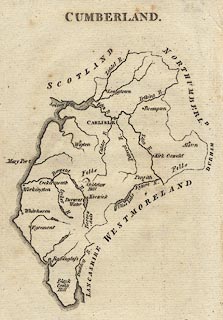 click to enlarge click to enlargeAIK3.jpg "Workington" circle; town item:- JandMN : 145 Image © see bottom of page |
|||
|
|
||||
| evidence:- | old map:- Howard 1790s (town-Wrkn) |
|||
| source data:- | Town plan, uncoloured engraving, Plan of the Town and Harbour of
Workington, scale about 16 inches to 1 mile, probably by J
Howard, 1793, published by F Jollie and Sons, Carlisle,
Cumberland, 1811.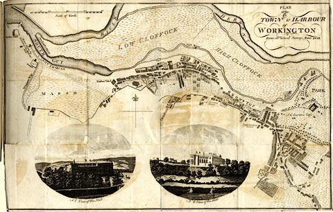 click to enlarge click to enlargeJL09.jpg "PLAN of the TOWN and HARBOUR of WORKINGTON" "From an actual Survey Anno.1811." item:- Armitt Library : A214.6 Image © see bottom of page |
|||
|
|
||||
| evidence:- | old map:- Bailey 1797 placename:- Workington |
|||
| source data:- | Map, soil etc, uncoloured engraving, Cumberland, scale about 21
miles to 1 inch, by J Bailey, engraved by Neele, Strand,
published by Messrs Robinson, Paternoster Row and G Nicol, Pall
Mall, London, 1797. click to enlarge click to enlargeBY04.jpg "Workington" group of blocks; town item:- Armitt Library : A680.2 Image © see bottom of page |
|||
|
|
||||
| evidence:- | road book:- Cary 1798 (2nd edn 1802) placename:- Workington |
|||
| source data:- | Road book, itineraries, Cary's New Itinerary, by John Cary, 181
Strand, London, 2nd edn 1802. goto source click to enlarge click to enlargeC38317.jpg page 317-318 "Workington" market town, post office item:- JandMN : 228.1 Image © see bottom of page |
|||
|
|
||||
| evidence:- | road book:- Cary 1798 (2nd edn 1802) placename:- Workington |
|||
| source data:- | Road book, itineraries, Cary's New Itinerary, by John Cary, 181
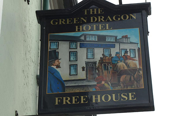
Strand, London, 2nd edn 1802. goto source click to enlarge click to enlargeC38557.jpg page 557-558 "Workington" market town, post office "INNS. ... Workington, Green Dragon, King's Arms." item:- JandMN : 228.2 Image © see bottom of page |
|||
|
|
||||
| evidence:- | old map:- Cooke 1802 placename:- Workington |
|||
| source data:- | Map, Cumberland, scale about 15.5 miles to 1 inch, by George
Cooke, 1802, bound in Gray's New Book of Roads, 1824, published
by Sherwood, Jones and Co, Paternoster Road, London, 1824. click to enlarge click to enlargeGRA1Cd.jpg "Workington" blocks, italic lowercase text, village, hamlet, locality item:- Hampshire Museums : FA2000.62.2 Image © see bottom of page |
|||
|
|
||||
| evidence:- | old map:- Cooke 1802 placename:- Workington |
|||
| source data:- | Map, The Lakes, Westmorland and Cumberland, scale about 8.5
miles to 1 inch, engravedby Neele and Son, published by
Sherwood, Jones and Co, Paternoster Road, London, 1824. click to enlarge click to enlargeGRA1Lk.jpg "Workington" blocks, italic lowercase text, village, hamlet, locality item:- Hampshire Museums : FA2000.62.5 Image © see bottom of page |
|||
|
|
||||
| evidence:- | old map:- Laurie and Whittle 1806 placename:- Workington |
|||
| source data:- | Road map, Completion of the Roads to the Lakes, scale about 10
miles to 1 inch, by Nathaniel Coltman? 1806, published by Robert
H Laurie, 53 Fleet Street, London, 1834. click to enlarge click to enlargeLw18.jpg "Workington 305¾" market town; distance from London; travellers supplied with post horses or carriages item:- private collection : 18.18 Image © see bottom of page |
|||
|
|
||||
| evidence:- | old text:- Capper 1808 placename:- Workington item:- population |
|||
| source data:- | Gazetteer, A Topographical Dictionary of the United Kingdom,
compiled by Benjamin Pitts Capper, published by Richard
Phillips, Bridge Street, Blackfriars, London, 1808; published
1808-29. goto source "..." "WORKINGTON, a sea port, market-town, and parish, in Allerdale ward, above Derwent, Cumberland, near the fall of the Derwent and Cocker into the ocean, 311 miles from London; containing 1160 houses and 5716 inhabitants, of whom 1055 were returned as being employed in various trades, principally in the salt works, salmon fishery, and coal trade, there being upwards of 100 vessels employed in the coal trade to and from this port; of late years very extensive and convenient butchers shambles have been erected, being a great improvement to the town. It is a rectory, value 23l. 5s." "..." |
|||
|
|
||||
| evidence:- | old map:- Cooper 1808 placename:- Workington |
|||
| source data:- | Map, uncoloured engraving, Cumberland, scale about 10.5 miles to
1 inch, drawn and engraved by Cooper, published by R Phillips,
Bridge Street, Blackfriars, London, 1808. click to enlarge click to enlargeCOP3.jpg "Workington" circle with two side bars; town item:- JandMN : 86 Image © see bottom of page |
|||
|
|
||||
| evidence:- | old text:- Gents Mag item:- murder |
|||
| source data:- | Magazine, The Gentleman's Magazine or Monthly Intelligencer or
Historical Chronicle, published by Edward Cave under the
pseudonym Sylvanus Urban, and by other publishers, London,
monthly from 1731 to 1922. goto source Gentleman's Magazine 1808 p.648 "July 13. The body of Joseph Glendinning was found murdered in his own field, near Workington. He was seen very near the place, in company of a man at present unknown, between seven and eight o'clock in the morning, and was found dead between two and three in the afternoon; and from every circumstance it appears that the murder must have been committed within a few minutes after he was seen with the said unknown person. A more cruel and barbarous murder has not been heard of in any country. He had five wounds in the breast and ribs, eleven in the belly, twelve in the neck, and one in the right leg." |
|||
|
|
||||
| evidence:- | old map:- Wallis 1810 (Cmd) placename:- Workington |
|||
| source data:- | Road map, hand coloured engraving, Cumberland, scale about 16
miles to 1 inch, by James Wallis, 77 Berwick Stree, Soho,
London, 1810. click to enlarge click to enlargeWL13.jpg "Workington" village, hamlet, house, ... item:- Dove Cottage : 2009.81.10 Image © see bottom of page |
|||
|
|
||||
| evidence:- | old map:- Otley 1818 placename:- Workington |
|||
| source data:- | Map, uncoloured engraving, The District of the Lakes,
Cumberland, Westmorland, and Lancashire, scale about 4 miles to
1 inch, by Jonathan Otley, 1818, engraved by J and G Menzies,
Edinburgh, Scotland, published by Jonathan Otley, Keswick,
Cumberland, et al, 1833. OT02NX92.jpg "WORKINGTON" item:- JandMN : 48.1 Image © see bottom of page |
|||
|
|
||||
| evidence:- | old text:- Gents Mag |
|||
| source data:- | Magazine, The Gentleman's Magazine or Monthly Intelligencer or
Historical Chronicle, published by Edward Cave under the
pseudonym Sylvanus Urban, and by other publishers, London,
monthly from 1731 to 1922. goto source Gentleman's Magazine 1816 part 2 p.600 From the Compendium of County History:- "1568, May 16, at Workington, poor Mary of Scots landed." |
|||
|
|
||||
| evidence:- | old map:- Hall 1820 (Cmd) placename:- Workington |
|||
| source data:- | Map, hand coloured engraving, Cumberland, scale about 21 miles
to 1 inch, engraved by Sidney Hall, published by S Leigh, 18
Strand, London, 1820-31. click to enlarge click to enlargeHA14.jpg "Workington / 306" circle, upright lowercase text; town; distance from London item:- JandMN : 91 Image © see bottom of page |
|||
|
|
||||
| evidence:- | descriptive text:- Otley 1823 (5th edn 1834) item:- geology; coal |
|||
| source data:- | Guide book, A Concise Description of the English Lakes, the
mountains in their vicinity, and the roads by which they may be
visited, with remarks on the mineralogy and geology of the
district, by Jonathan Otley, published by the author, Keswick,
Cumberland now Cumbria, by J Richardson, London, and by Arthur
Foster, Kirkby Lonsdale, Cumbria, 1823; published 1823-49,
latterly as the Descriptive Guide to the English Lakes. goto source Page 163:- "... Coal is raised at Greysouthen, Gilcrux, and Plumbland; and there are extensive fields of coal beneath the town of Whitehaven, at Workington, ..." |
|||
|
|
||||
| evidence:- | old map:- Perrot 1823 placename:- Workington |
|||
| source data:- | Map, hand coloured engraving, Cumberland and Westmoreland ie
Westmorland, scale about 38 miles to 1 inch, by Aristide Michel
Perrot, engraved by Migneret, 1823, published by Etienne Ledoux,
9 Rue Guenegaud, Paris, France, 1824-48. click to enlarge click to enlargePER2.jpg "Workington" circle; town item:- Dove Cottage : 2007.38.45 Image © see bottom of page |
|||
|
|
||||
| evidence:- | old map:- Greenwood 1824 placename:- Workington |
|||
| source data:- | Map, engraving, Map of the County of Cumberland, scale about 1
inch to 1 mile, etc, by Christopher and John Greenwood,
published by George Pringle jnr, 70 Queen Street, Cheapside,
London, 1823.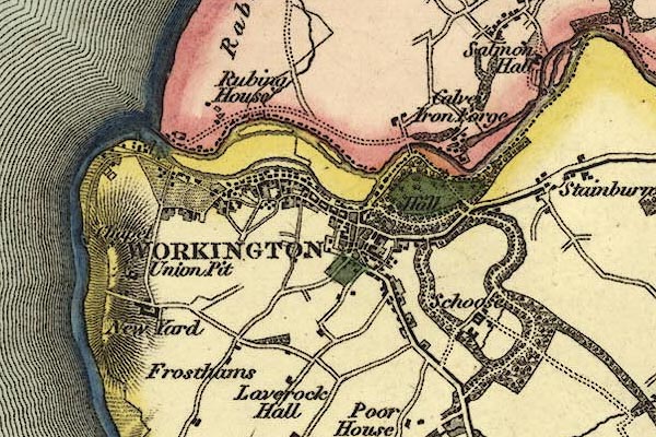 gw12wrkn.jpg "WORKINGTON" street map; labelled in block caps for a market town. item:- National Library of Scotland : EME.b.3.11 Image © National Library of Scotland |
|||
|
|
||||
| evidence:- | old map:- Cobbett 1832 placename:- Workington |
|||
| source data:- | Map, uncoloured engraving, Cumberland, scale about 20 miles to 1
inch, by William Cobbett, 11 Bolt Court, Fleet Street, London,
1832. click to enlarge click to enlargeCOB5.jpg "Workington" dot and circle; town item:- JandMN : 117 Image © see bottom of page |
|||
|
|
||||
| evidence:- | descriptive text:- Ford 1839 (3rd edn 1843) placename:- Workington item:- population, Workington; market day; coal |
|||
| source data:- | Guide book, A Description of Scenery in the Lake District, by
Rev William Ford, published by Charles Thurnam, Carlisle, by W
Edwards, 12 Ave Maria Lane, Charles Tilt, Fleet Street, William
Smith, 113 Fleet Street, London, by Currie and Bowman,
Newcastle, by Bancks and Co, Manchester, by Oliver and Boyd,
Edinburgh, and by Sinclair, Dumfries, 1839. goto source Page 173:- "..." "WORKINGTON, a sea-port of Cumberland, situated on the south bank of the Derwent, has a good harbour, and an extensive trade in coal, from the valuable collieries of Henry Curwen, Esq., and several other collieries, many of which are at a considerable distance. On the east side of the town is Workington Hall, ... Population, 6415; market-day, Wednesday; inns, Green Dragon, New Crown, and King's Arms." |
|||
|
|
||||
| evidence:- | old map:- Ford 1839 map placename:- Workington |
|||
| source data:- | Map, uncoloured engraving, Map of the Lake District of
Cumberland, Westmoreland and Lancashire, scale about 3.5 miles
to 1 inch, published by Charles Thurnam, Carlisle, and by R
Groombridge, 5 Paternoster Row, London, 3rd edn 1843. FD02NX92.jpg "WORKINGTON" item:- JandMN : 100.1 Image © see bottom of page |
|||
|
|
||||
| evidence:- | old map:- Garnett 1850s-60s H placename:- Workington |
|||
| source data:- | Map of the English Lakes, in Cumberland, Westmorland and
Lancashire, scale about 3.5 miles to 1 inch, published by John
Garnett, Windermere, Westmorland, 1850s-60s. GAR2NY02.jpg "WORKINGTON" blocks, settlement item:- JandMN : 82.1 Image © see bottom of page |
|||
|
|
||||
| evidence:- | text:- Mason 1907 (edn 1930) item:- coal |
|||
| source data:- | Text book, The Ambleside Geography Books bk.III, The Counties of
England, by Charlotte M Mason, published by Kegan Paul, Trench,
Trubner and Co, Broadway House, 68-74 Carter Lane, and the
Parents' Educational Union Office, 26 Victoria Street, London,
edn 1930. MSN1P025.txt Page 25:- "..." "A coal-field stretches from Wigton to Whitehaven. Maryport, Workington, and Whitehaven are all busy towns among the collieries, ..." |
|||
|
|
||||
| evidence:- | old map:- Postlethwaite 1877 (3rd edn 1913) placename:- Workington |
|||
| source data:- | Map, uncoloured engraving, Map of the Lake District Mining Field, Westmorland, Cumberland,
Lancashire, scale about 5 miles to 1 inch, by John Postlethwaite, published by W H
Moss and Sons, 13 Lowther Street, Whitehaven, Cumberland, 1877 edn 1913.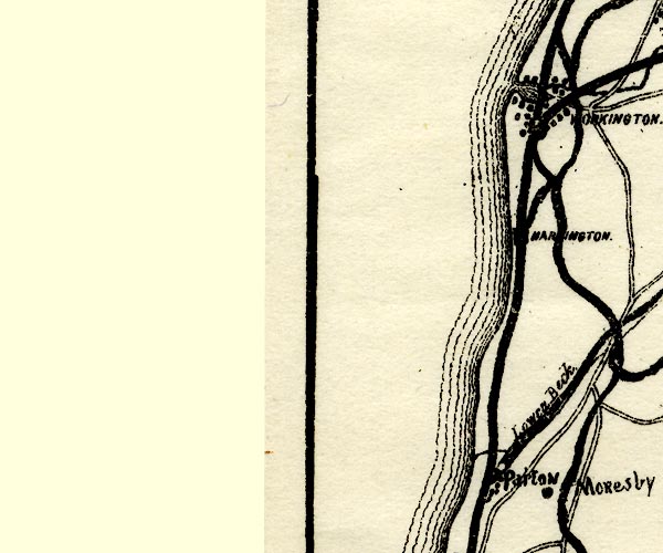 PST2NX92.jpg "WORKINGTON" dots, roads, railways and station, harbour item:- JandMN : 162.2 Image © see bottom of page |
|||
|
|
||||
| evidence:- | old text:- Admiralty 1933 placename:- item:- population, Workington |
|||
| source data:- | goto source Page 394:- "..." "Town. - Workington, which in 1931 had a population of 24,691, is situated on the southern side of the mouth of the River Derwent. A portion of the town is little above the level of the harbour, but the principal part is on an eminence." |
|||
|
|
||||
| evidence:- | market notes:- placename:- Wokinton item:- market |
|||
| source data:- | Palmer's Index No.93:: Public Record OfficeOwen: 1792: New Book of Fairs: 1889: Market Rights and Tolls: HM Government | |||
|
|
||||
 Post Office maps Post Office maps |
||||
|
|
||||
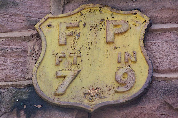
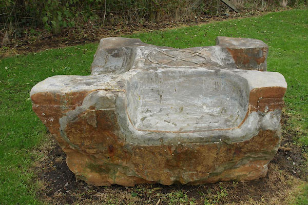
| evidence:- | old print:- Calverley 1899 item:- Cross House; date stone (1703); 1700s; coffin stone; boundary stone |
|||
| source data:- | Built into Cross House, Cross Hill:- Possibly once the finial from a chapel roof; later perhaps a resting stone for a coffin on its way to church, or a boundary stone, ... It is now inscribed:- "W H / 1703" |
|||
|
|
||||
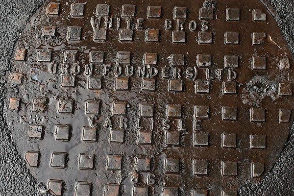
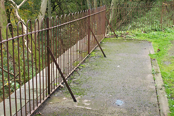
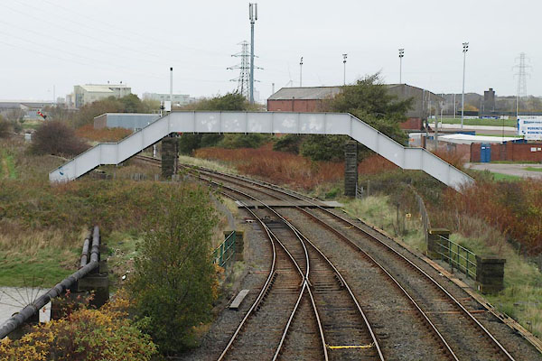
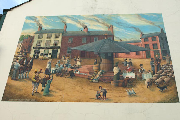
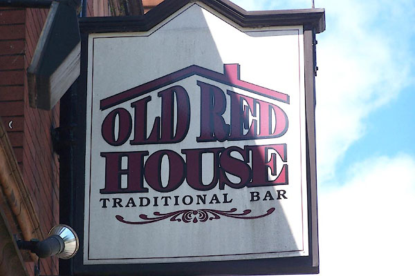
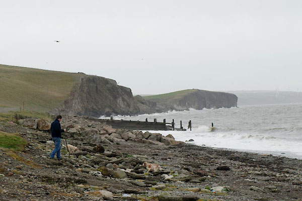 BTT24.jpg Coast south of the port, (taken 5.11.2010) 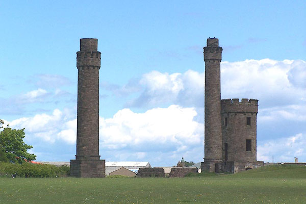 BNQ44.jpg Towers, mine ventilation?? Mossbay area. (taken 14.5.2007) 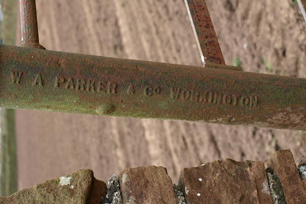 BOY54.jpg Cast iron railing post:- "W A PARKER &CO. WORKINGTON" at North Dykes, Great Salkeld. (taken 4.4.2008) 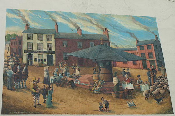 BRJ29.jpg Mural on a wall, King Street. (taken 2.9.2009) 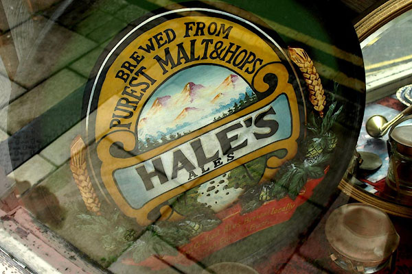 BRJ28.jpg Advertising sign for Hale's ale, in an antique shop window. (taken 2.9.2009) |
||||
|
|
||||
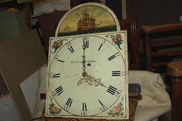 BPC82.jpg White dial of a longcase clock by:- "Richd. Lindale Workington" Richard Lindale, clockmaker, Workingon (taken 2.5.2008) courtesy of John Young and Co, Keswick |
||||
|
|
||||
| hearsay:- |
In Easter week there was/is a mass football game played by as many as will. The Uppies,
Uppy gyaters, were miners and steelworkers; the Downies, Down gyaters, were seamen
and dock workers. The goals were the wall of Workington Hall, and a capstan in the
harbour. The game was recorded in 1779, but was played earlier. It is now played on
the Cloffocks. |
|||
|
|
||||
| twinned with:- | Selm, Germany |
|||
|
|
||||
| twinned with:- | Val de Reuil, France |
|||
|
|
||||
| places:- |
|
|||
|
||||
|
||||
|
||||
|
||||
|
||||
|
||||
|
||||
|
||||
|
||||
|
||||
|
||||
|
||||
|
||||
|
||||
|
||||
|
||||
|
||||
|
||||
|
||||
|
||||
|
||||
|
||||
|
||||
|
||||
|
||||
|
||||
|
||||
|
||||
|
||||
|
||||
|
||||
|
||||
|
||||
|
||||
|
||||
|
||||
|
||||
|
||||
|
||||
|
||||
|
||||
|
||||
|
||||
|
||||
|
||||
|
||||
|
||||
|
||||
|
||||
|
||||
|
||||
|
||||
|
||||
|
||||
|
||||
|
||||
|
||||
|
||||
|
||||
|
||||
|
||||
|
||||
|
||||
|
||||
|
||||
|
||||
|
||||
|
||||
|
||||
|
||||
|
||||
|
||||
|
||||
|
||||
|
||||
|
||||
|
||||
|
||||
|
||||
|
||||
|
||||
|
||||
|
||||
|
||||
|
||||
|
||||
|
||||
|
||||
|
||||
|
||||
|
||||
|
||||
|
||||
|
||||
|
||||
|
||||
|
||||
|
||||
|
||||
|
||||
|
||||
|
||||
|
||||
|
||||
|
||||
|
||||
|
||||
|
||||
|
||||
|
||||
|
||||
|
||||
|
||||
|
||||
|
||||
|
||||
|
||||
|
||||
|
||||
|
||||
|
||||
|
||||
|
||||
|
||||
|
||||
|
||||
|
||||
|
||||
|
||||
|
||||
|
||||
|
||||
|
||||
|
||||
|
||||
|
||||
|
||||
|
||||
|
||||
|
||||
|
||||
|
||||
|
||||
|
||||
|
||||
|
||||
|
||||
|
||||
|
||||
|
||||
|
||||
|
||||
|
||||
|
||||
|
||||
|
||||
|
||||
|
||||
|
||||
|
||||
|
||||
|
||||
|
||||
|
||||
|
||||
|
||||
|
||||
|
||||
|
||||
|
||||
|
||||
|
||||
|
||||
|
||||
|
||||
|
||||
|
||||
|
||||
|
||||
|
||||
|
||||
|
||||
|
||||
|
||||
|
||||
|
||||
|
||||
|
||||
|
||||
|
||||
|
||||
|
||||
|
||||
|
||||
|
||||
|
||||
|
||||
|
||||
|
||||
|
||||
|
||||
|
||||
|
||||
|
||||
|
||||
|
||||
|
||||
|
||||
|
||||
|
||||
|
||||
|
||||
|
||||
|
||||
|
||||
|
||||
|
||||
|
||||
|
||||
|
||||
|
||||
|
||||
|
||||
|
||||
|
||||
|
||||
|
||||
|
||||
|
||||
|
||||
|
||||
|
||||
|
||||
|
||||
|
||||
|
||||
|
||||
|
||||
|
||||
|
||||
|
||||
|
||||
|
||||
|
||||
|
||||
|
||||
|
||||
|
||||
|
||||
|
||||
|
||||
|
||||
|
||||
|
||||
|
||||
|
||||
|
||||
|
||||
|
||||
|
||||
|
||||
|
||||
|
||||
|
||||
|
||||
|
||||
|
||||
|
||||
|
||||
|
||||
|
||||
|
||||
|
||||
|
||||
|
||||
|
||||
Lakes Guides menu.