 Old Cumbria Gazetteer
 |
 |
|
| St Michael's School, Workington | ||
| St Michael's School | ||
| St Michael's Board School | ||
| Street:- | Station Road | |
| locality:- | Workington | |
| civil parish:- | Workington (formerly Cumberland) | |
| county:- | Cumbria | |
| locality type:- | school | |
| coordinates:- | NX99782883 | |
| 1Km square:- | NX9928 | |
| 10Km square:- | NX92 | |
|
|
||
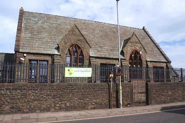
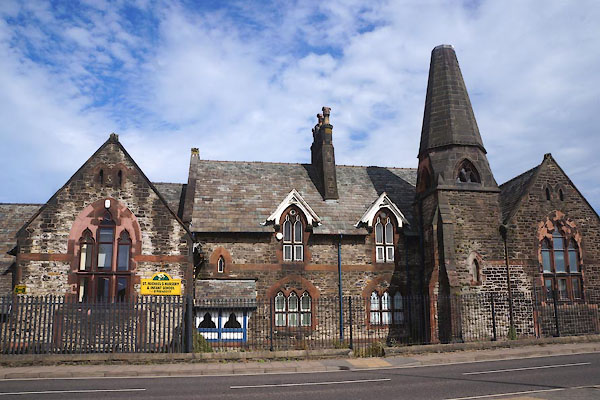 CDU96.jpg (taken 4.9.2015) 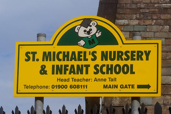 CDU98.jpg Sign. (taken 4.9.2015) |
||
|
|
||
| evidence:- | old map:- OS County Series (Cmd 53 11) |
|
| source data:- | Maps, County Series maps of Great Britain, scales 6 and 25
inches to 1 mile, published by the Ordnance Survey, Southampton,
Hampshire, from about 1863 to 1948. "Church of England Free School" |
|
|
|
||
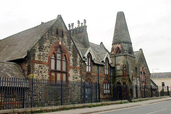 BTT75.jpg (taken 5.11.2010) 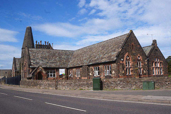 CDU97.jpg (taken 4.9.2015) 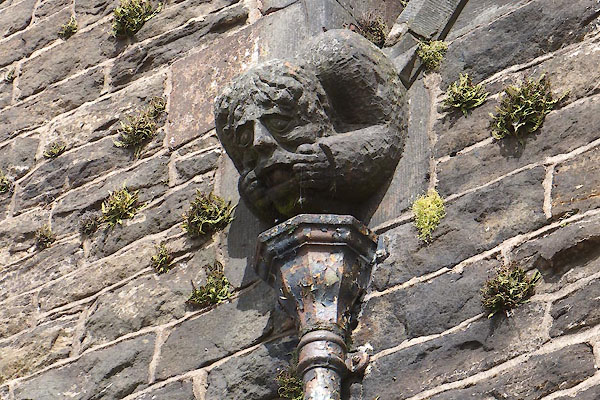 CDU99.jpg Gargoyle. (taken 4.9.2015) 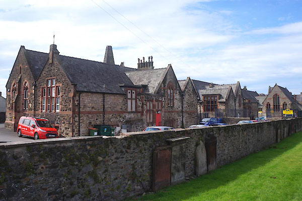 CDV01.jpg Rear. (taken 4.9.2015) |
||
|
|
||
| MN photo:- |
The eastern part was once the St Michaels Board School. |
|
 CDV02.jpg (taken 4.9.2015) 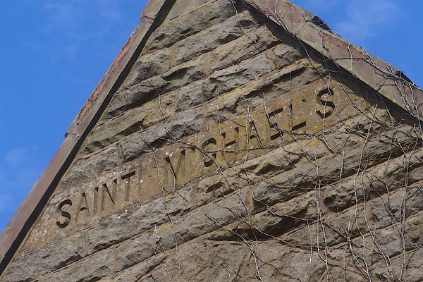 CDV03.jpg "ST MICHAEL'S" (taken 4.9.2015) 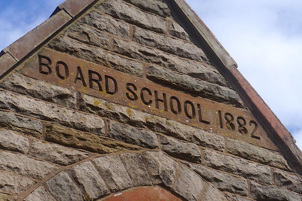 CDV04.jpg "BOARD SCHOOL 1882" (taken 4.9.2015) |
||
|
|
||
 Lakes Guides menu.