item:- Hampshire Museums : FA2000.62.2
image:- © see bottom of page
 GRA1Cd.jpg
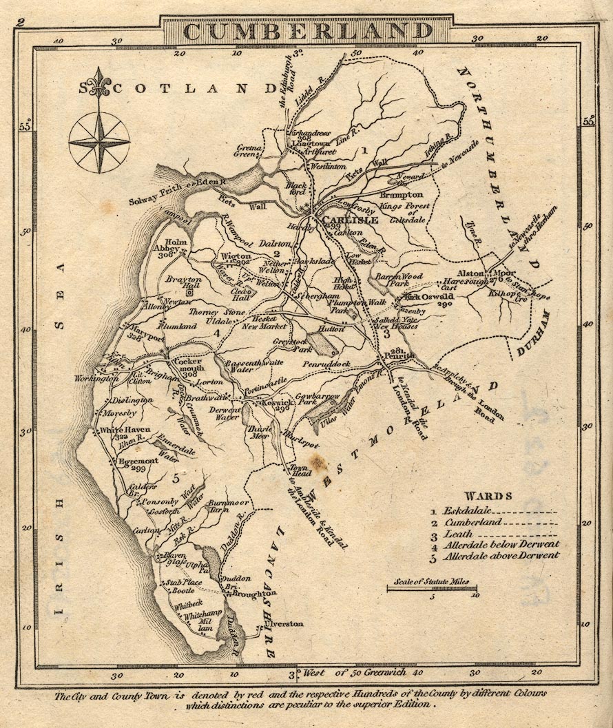
Map, Cumberland, scale about 15.5 miles to 1 inch, by George
Cooke, 1802, bound in Gray's New Book of Roads, 1824, published
by Sherwood, Jones and Co, Paternoster Road, London, 1824.
 Lakes Guides menu.