


 Irish Sea
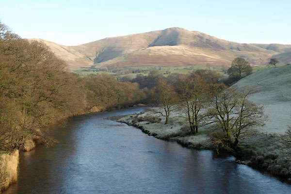
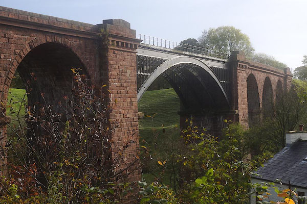
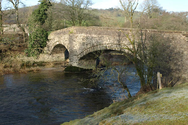
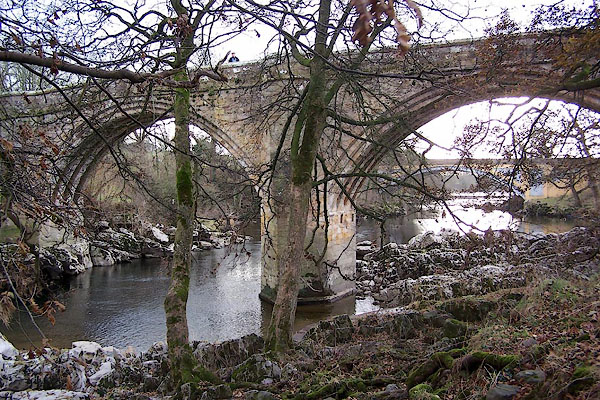
BVU53.jpg At Lincoln's Inn Bridge:-
(taken 13.1.2012)
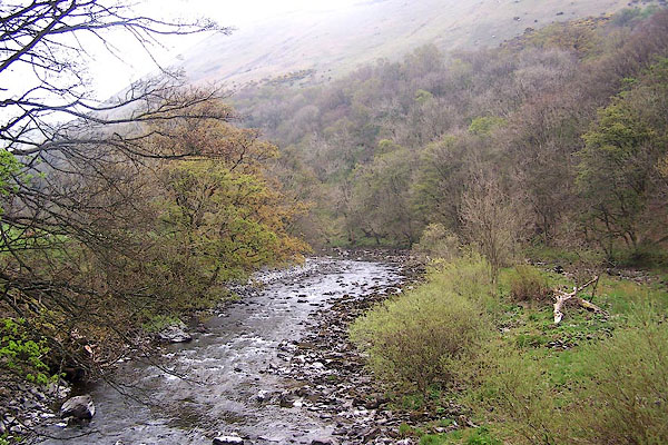
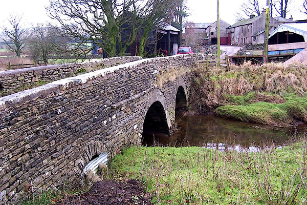
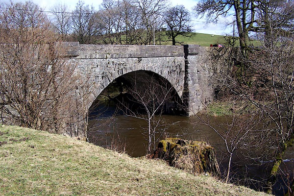
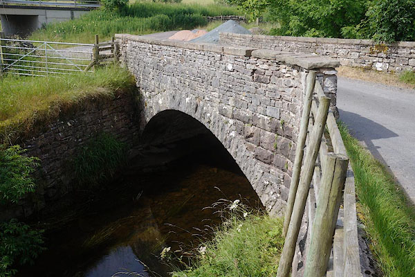
BNP36.jpg At Salterwath Bridge, Tebay.
(taken 18.4.2007)
placename:- Lune, River
OS County Series (Wmd 29 5)
OS County Series (Wmd 29 6)
OS County Series (Wmd 29 7)
OS County Series (Wmd 34 4)
OS County Series (Wmd 34 8)
OS County Series (Wmd 40 1)
OS County Series (Wmd 40 13)
OS County Series (Wmd 43 4)
OS County Series (Wmd 43 8)
OS County Series (Wmd 43 16)
OS County Series (Wmd 47 4)
OS County Series (Wmd 47 8)
placename:- Lon
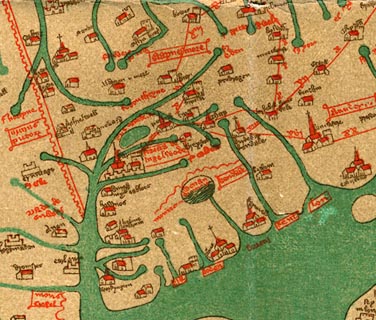 click to enlarge
Ggh1Cm.jpg
"lon"
Flowing from east of Kirkby Lonsdale to the sea.
item:- JandMN : 33
Image © see bottom of page
placename:- Lon
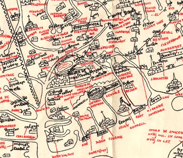 click to enlarge
Ggh2Cm.jpg
"lon"
Flowing from east of Kirkby Lonsdale to the sea.
item:- JandMN : 34
Image © see bottom of page
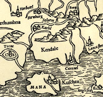 click to enlarge
PTY4Cm.jpg
tapering wiggly double line; river
item:- private collection : 131
Image © see bottom of page
placename:- Lan Flu.
 click to enlarge
Lld1Cm.jpg
"Lan flu."
item:- Hampshire Museums : FA1998.69
Image © see bottom of page
placename:- Lune Flu.
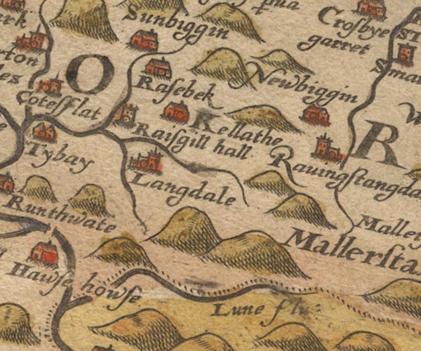
Sax9NY60.jpg
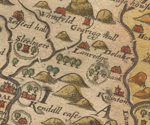
Sax9SD59.jpg
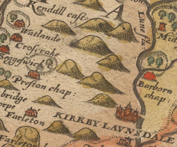
Sax9SD58.jpg
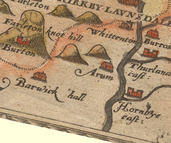
"Lune flu:"
Sax9SD57.jpg
item:- private collection : 2
Image © see bottom of page
placename:- Lune flu.

MER5WmdA.jpg
"Lune flu."
double line with stream lines; river, running into Lancashire, county boundary with Yorkshire
item:- Armitt Library : 2008.14.3
Image © see bottom of page
 click to enlarge
KER8.jpg
""
double wiggly line, tapering to single; river
item:- Dove Cottage : 2007.38.110
Image © see bottom of page
 click to enlarge
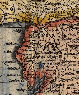
SPD6Cm.jpg
tapering wiggly line, to the coast below Lancaster
item:- private collection : 85
Image © see bottom of page
placename:- Lune flud
SP14SD69.jpg
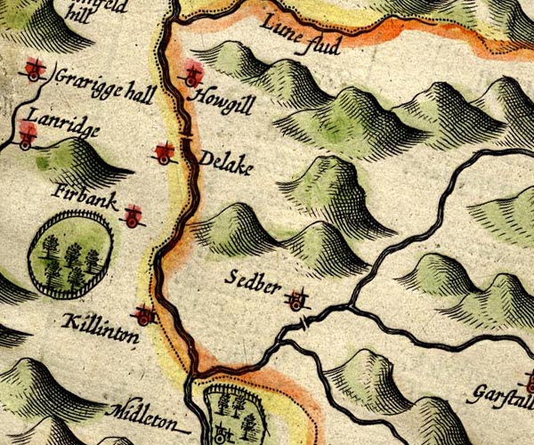
double line; county boundary
SP14SD68.jpg
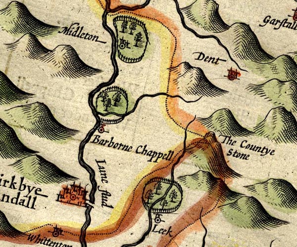
"Lune flud"
double line with stream lines
item:- Armitt Library : 2008.14.5
Image © see bottom of page
placename:- Lon
item:- weather signs
 goto source
page 133:- "..."
"... Christall Lon,
The Flood that names the Towne, from whence the Shire begun,
Her title first to take, ...
... the long-wandring Lon, ...
As shee comes ambling on from Westmerland, where first
Arising from her head, amongst the Mountaines nurst,
By many a pretty spring, that howerly getting strength,
Ariving in her Course in Lancashire at length,
To Lonsdale showes her selfe, ...
...
That shee with greater state may come to Lancaster,
Of her which takes the name, which likewise to the Shire,
The Soveraigne title lends, ..."
"... ..."
 goto source
page 162:- "...
The source of long liv'd Lun, I long-liv'd doe her call;
For of the British Floods, scarce one amongst them all,
Such state as to her selfe, the Destinies assigne,
By christning in her Course a Countie Palatine,
For Luncaster so nam'd; the Fort upon the Lun,
And Lancashire the name from Lancaster begun:
Yet though she be a Flood, such glory that doth gaine,
In that the British Crowne doth to her state pertaine,
Yet Westmerland alone, not onely boasts her birth,
But for her greater good the kind Westerian earth,
Cleere Burbeck her bequeaths, and Barrow to attend
Her grace, till shee her name to Lancaster doe lend."
placename:- Lun, Springe of
placename:- Springe of Lun
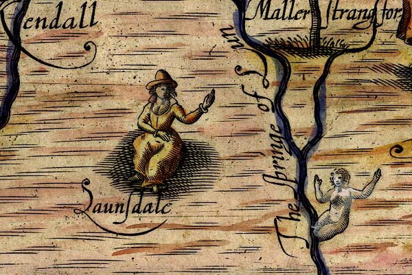
DRY524.jpg
"The springe of Lun"
River, naiad.
item:- JandMN : 168
Image © see bottom of page
 click to enlarge
SIM3.jpg
on thumbnail map
item:- private collection : 50.39
Image © see bottom of page
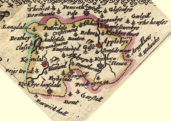
JEN3Sq.jpg
wiggly line
item:- private collection : 52.Wmd
Image © see bottom of page
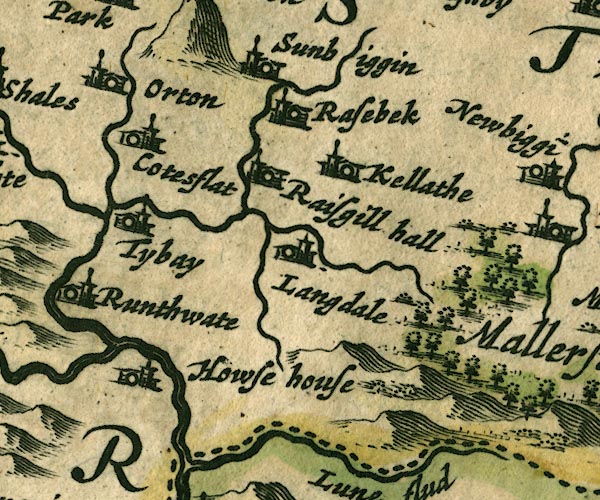
JAN3NY60.jpg
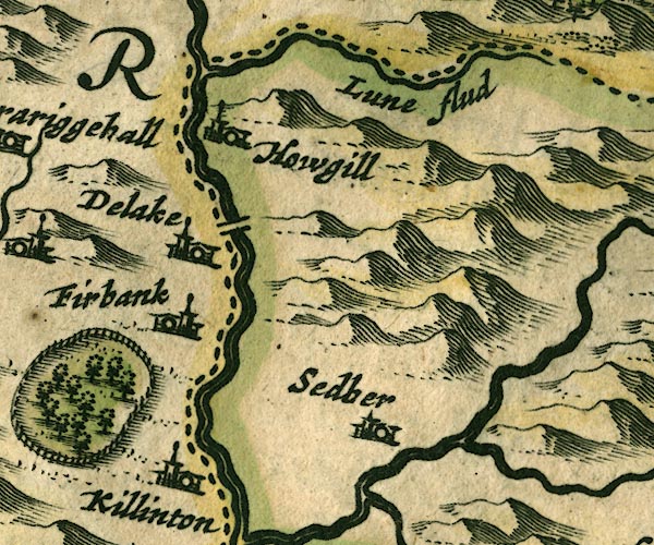
JAN3SD69.jpg
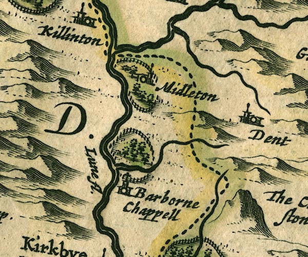
JAN3SD68.jpg
"Lune fl."
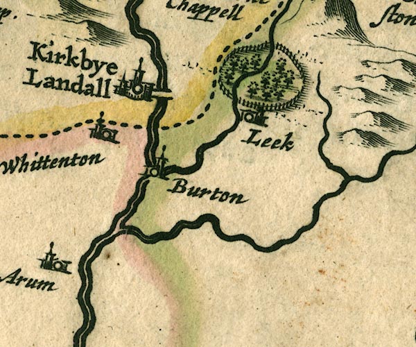
JAN3SD67.jpg
Double wiggly line tapering to single.
item:- JandMN : 88
Image © see bottom of page
placename:- Lune Flu.
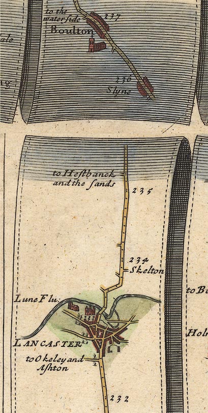
OG38m232.jpg
In mile 233, Lancashire. "Lune Flu:"
crossed by the road.
item:- JandMN : 21
Image © see bottom of page
placename:- Lune fl.
 click to enlarge
SAN2Cm.jpg
"Lune fl."
tapering wiggly line; river
item:- Dove Cottage : 2007.38.15
Image © see bottom of page
placename:- Lone fl.
 click to enlarge
SEL7.jpg
"Lone fl"
tapering wiggly line; river
item:- Dove Cottage : 2007.38.87
Image © see bottom of page
 click to enlarge
MRD3Cm.jpg
tapering wiggly line
item:- JandMN : 339
Image © see bottom of page
placename:- Lune Flu.
placename:- Lone Flu.
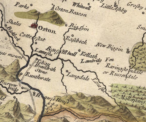
MD10NY60.jpg
"Lone flu / Lone flu"
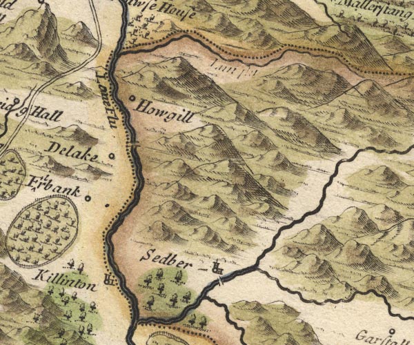
MD10SD69.jpg
"Lone Flu"
With the county boundary drawn alongside.
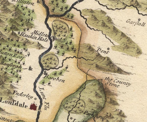
MD10SD68.jpg
"Lune Flu"
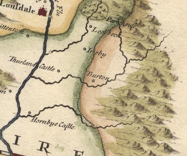
MD10SD67.jpg
item:- JandMN : 24
Image © see bottom of page
placename:-
item:- salmon; salmon wier
"... on the Castle tower walking quite round by the battlements I saw the whole town and river at a view, which runs almost quite round and returns againe by the town, ..."
"... in the river there are a great many wires or falls of water made for salmon fishing, where they hang their nets and catch great quantety's of fish, which is neare the bridge; ..."
 click to enlarge
Stu1Cm.jpg
item:- Hampshire Museums : FA2001.171
Image © see bottom of page
placename:- Lone, River
placename:- Lune, River
"... Lancaster is the next, the county town, and situate near the mouth of the River Lone or Lune."
"..."
"... Kirby Launsdale, or Lunedale, because it stands on the River Lune, which is the boundary of the county, and leaves the hills of Mallerstang Forest, which are, in many places, unpassable."
placename:- Lone, River
placename:- Lune, River
"... the Lone or Lune after having received the River Burrow is the Boundary [of Westmorland] to Yorkshire, then passes by Kirby Lonsdale into Lancashire."
placename:- Lone River
 click to enlarge
BD12.jpg
"Lone R"
tapering wiggly line; county boundary
item:- Dove Cottage : 2007.38.62
Image © see bottom of page
placename:- Lone, River
placename:- Lune, River
 goto source
Page 1020:- "..."
"... The greatest River in the South Parts [of Westmoreland], is the Lone or Lune, which rising near Mallerstrand Forest, not far from Rissendale, gives Name to the Track called Lonsdale, i.e. a vale upon the Lone. After receiving some Rivulets, and the two Rivers Birkbeck and Burrow, near Orton. it grows a large Stream, and waters the middle Part of the County, and near half the Borders towards Yorkshire, and then passes into Lancashire. ..."
 goto source
Page 1024:- "..."
"Kirkby Lonsdale, ... with a good Stone Bridge over the River Lone."
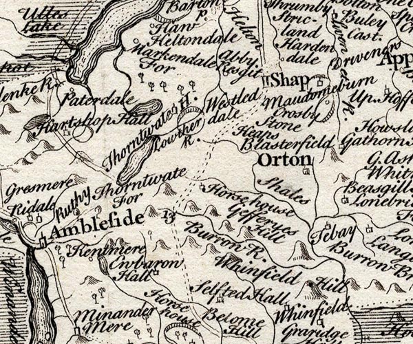
SMP2NYK.jpg
Wiggly line.
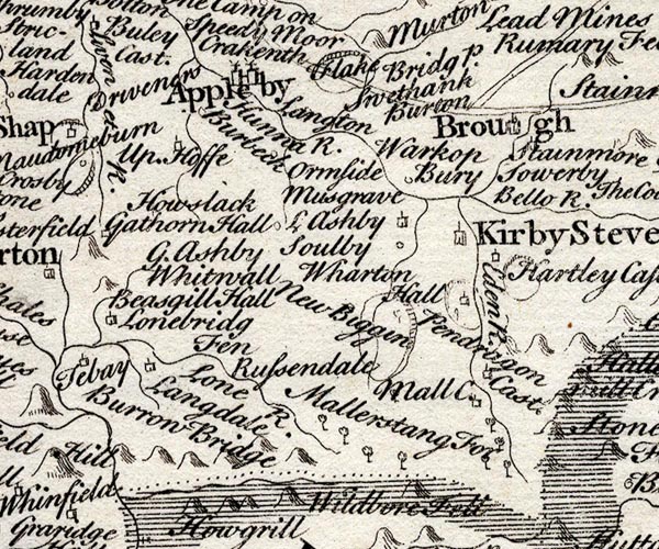
SMP2NYQ.jpg
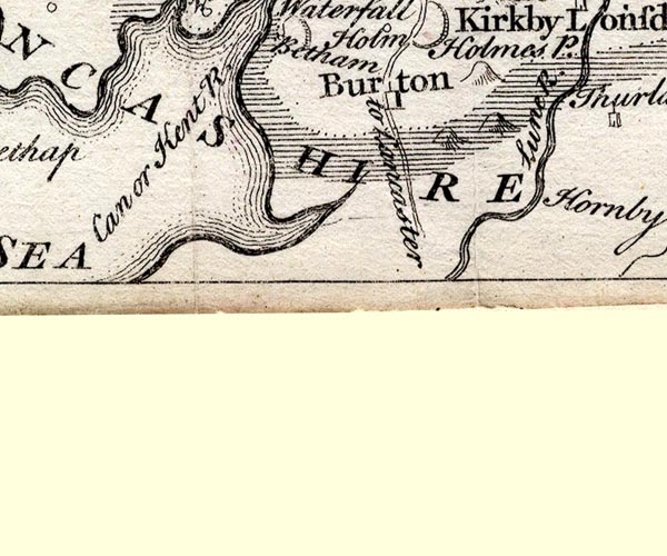
"Lone R."
Wiggly line.
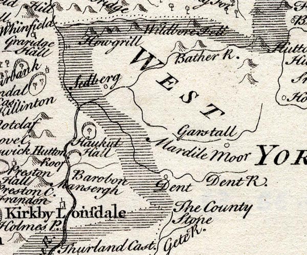
SMP2SDU.jpg
Wiggly line; partly county boundary with Yorkshire.
SMP2SDN.jpg
"Lune R."
Double line with stream lines.
item:- Dove Cottage : 2007.38.59
Image © see bottom of page
placename:- Lone River
 click to enlarge
BCK3.jpg
"Lone R"
view (sort of)
item:- Armitt Library : 2008.14.71
Image © see bottom of page
placename:- Lone River
placename:- Lune River
BO18NY60.jpg
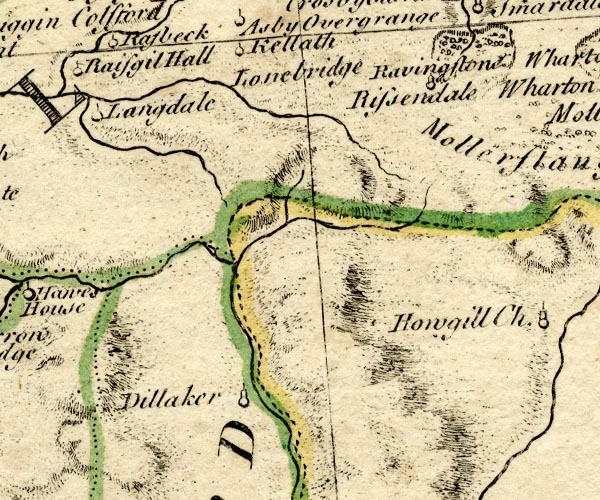
wiggly line, county boundary Westmorland Yorkshire
BO18SD69.jpg
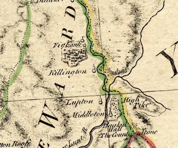
wiggly line then double line with stream lines, county boundary Westmorland Yorkshire
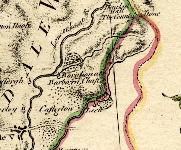
BO18SD68.jpg
"Lone or Lune R."
double line with stream lines
item:- Armitt Library : 2008.14.10
Image © see bottom of page
placename:- Lune River
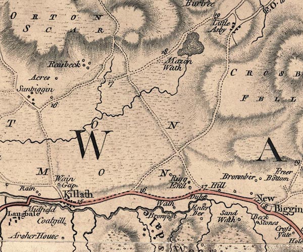
J5NY60NE.jpg
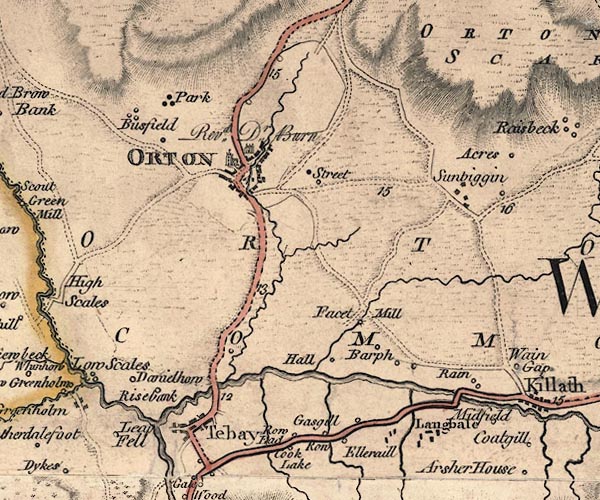
J5NY60NW.jpg
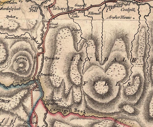
J5NY60SW.jpg
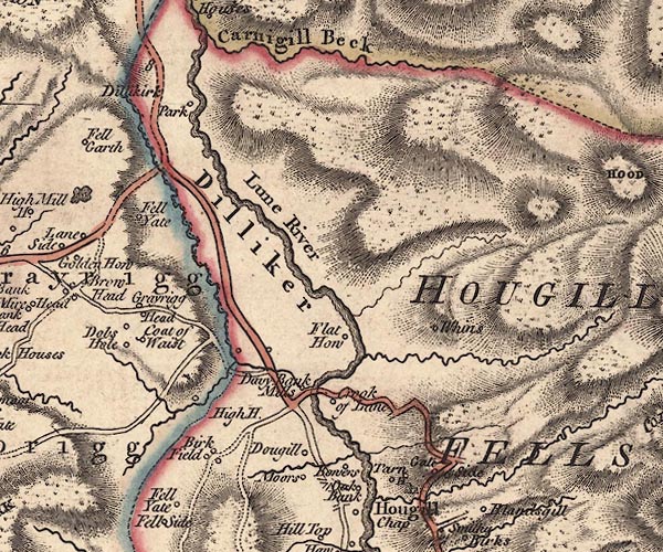
J5SD69NW.jpg
"Lune River"
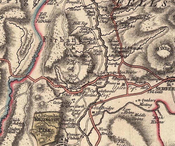
J5SD69SW.jpg
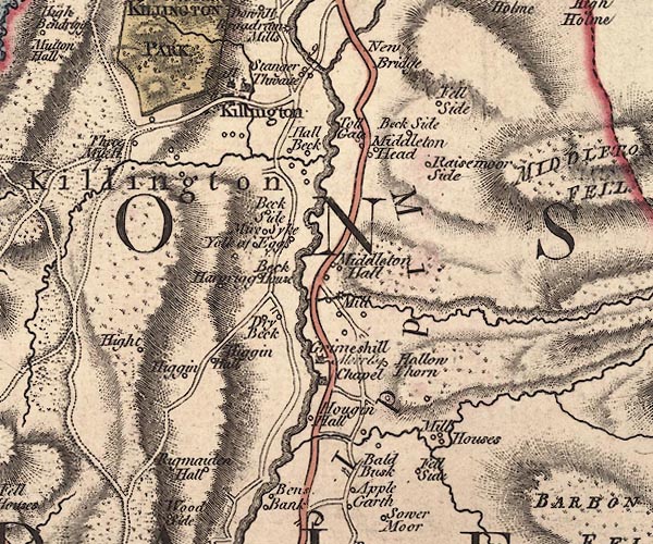
J5SD68NW.jpg
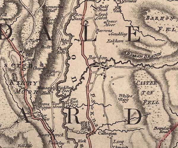
J5SD68SW.jpg
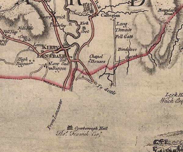
J5SD67NW.jpg
single or double wiggly line; river
item:- National Library of Scotland : EME.s.47
Images © National Library of Scotland
placename:- Lune, River
 goto source
Pennant's Tour 1773, page 117 "..."
"... reached the Lune, a river which rises under Green Belt Fell, and, after running for a considerable track almost due west, suddenly turns to the south, and preserves that course till it enters Lancashire, a little below this, from whence it tends south-west till it falls into the sea below Lancaster. ..."
"..."
 goto source
Pennant's Tour 1773, page 122 "... Not far from Orton, I passed by the Lune, near the spot where it begins its southward direction; kept to the east along a turnpike-road in a narrow vale watered by the Lune, here a small stream, which I lost again to the south, where it takes its"
 goto source
Pennant's Tour 1773, page 123 "rise at no great distance in Greenbelt-fell; ..."
placename:- Lune River
placename:- Lone River
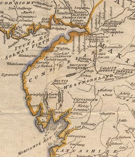 click to enlarge
PEN1Cm.jpg
"Lune or Lone R."
river
item:- private collection : 66
Image © see bottom of page
placename:- Loyn, River
placename:- Lon, River
 goto source
Page 6:- "... [station, Hornby Road] is on the south side of the great, or Queen's road, a little higher than where Mr. Gray stood; for there the vale is in full display, including a long reach of the river and the wheel of Lune, forming a high crowned isthmus, fringed with tall trees, that in time past was the solitary site of a hermit [1]. ..."
"[1] Hugh, to whom William de Lancastre, sixth baron of Kendal, gave a certain place called Askeleros and Croc, to look to his fishing in the river Loyn [or Lune.] - Burn's Westmorland, p.31"
"..."
 goto source
Page 14:- "... The station [roman fort, Lancaster] was called Longovicum, and in process of time the inhabitants were called Longovices, i.e. a people living upon the Lon or Lune."
"..."
 goto source
Page 25:- "'... [Mr. Gray's view from his station, Hornby Road] on each hand of the middle distance rise two sloping hills, the left clothed with thick wood, the right with variegated rock"
 goto source
Page 26:- "and herbage. Between them, is the richest of valleys, the Lune serpentizes for many a mile, and comes forth ample and clear thro' a well wooded and richly pastured foreground. ...'"
 goto source
Addendum; Mr Gray's Journal, 1769
Page 217:- "... Here [Lancaster] is a good bridge of four arches over the Lune, that runs, when the tide is out, in two steams, divided by a bed of gravel, which is not covered but in spring tides; below the town it widens to near the breadth of the Thames at London, and meets the sea at five or six miles distance to south-west."
 goto source
Page 218:- "..."
"Oct. 12. I set out for Settle by a fine turnpike-road, ... on the left the river Lune winding in a deep valley, its hanging banks clothed with fine woods, through which you catch long reaches of the water as the road winds about at a considerable height above it. ... In the most picturesque part of the way, I passed the part belonging to the Hon. Mr. Clifford, a catholic. The grounds between him and the river, are indeed charming [1]; ..."
"[1] This scene opens just three miles from Lancaster, on what is called the Queen's road. ... in the richest of valleys, the Lune serpentizes for many a mile, and comes forth ample and clear, through a well wooded and richly pastured fore-ground. ..."
 goto source
Tour to the Caves in the West Riding of Yorkshire, late 18th century
Page 240:- "..."
"... [at] Underley. The prospect was of the most amusing kind. At the foot of the steep bank on which we walked, being about forty or fifty yards perpendicular, glided the large pellucid river Lune, amongst the rocks and pebbles, which amused the ear, whilst the eye was entertained itself with a vast variety of agreeable objects. A transparent sheet of still water, about half a mile in length, lay stretched out before us; at the high end of it was a grotesque range of impending rocks of red stone, about thirty yards in perpendicular height, which had an excellent effect in the scene, both by their colour and situation. We were told,"
 goto source
Page 241:- "that in winter the precipice was in some parts so glazed over with ice, from the water trickling down the surface, as to make it appear like a sheet of alabaster. From other parts of the impending rocks hung great and enormous icicles, which made it appear like a huge organ."
"..."
"After breakfast, we walked by the side of the river to the bridge. The channel is deep, the stream rapid, among rocks, the banks on each side covered with trees of various foliage, which serve both as a defence and ornament. The bridge is the most lofty, strong, ancient, and striking to the eye of a stranger, of any I have yet seen. ..."
 goto source
Page 242:- "..."
"From the top of the bridge the prospect down the river is delightful: the sides of the deep channel covered with trees, are nearly parallel for half a mile, and the water one continued surface, save here and there where a pointed rock lift up its head above the stream. We walked down by the side of the river about a mile, and as we proceeded were continually presented with new prospects; while the soft murmurs of the river afforded a variety of different notes. ..."
 goto source
Page 244:- "If the traveller is distressed for time, and has no inclination to take a second view of the river Lune and its environs, he may order his horse to be sent to Cowan-bridge, and walk through the park of Borough-hall, where he may be entertained with a variety of other prospects."
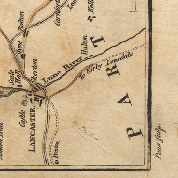
Ws02SD55.jpg
item:- Armitt Library : A1221.1
Image © see bottom of page
placename:- Lone, River
placename:- Lune, River
item:- salmon
 goto source
Page 131:- "... ..."
"This river Lone or Lune rising in Westmoreland hills runs southward between craggy banks and an unequal channel, inriching those who live on it in the summer months with a fine salmon fishery; which fish delighting in clear streams and sandy flats come in shoals to this and other rivers on this coast. As soon as it visits Lancashire the little river Lac unites its waters with it from the east, where now is Over Burrow, a mean country village, ..."
"From this Burgh the river Lone passes by Thurland, a castle of the Tunstalls, ..."
"The Lone proceeding a few miles further, sees on its south bank the chief town of the county, called more properly by the natives Loncaster, as also by the Scots, who gave it the name of Loncastell from the river Lone. Both the name and the river running by it prove it to be LONGOVICUM, ..."
"While I was looking round from this hill [in Lancaster] for the mouth of the Lone which empties itself not much below, Forness, the other part of this county, almost torn off by the sea, presented itself to my view. ..."
placename:- Lune, River
 goto source
Page 155:- "..."
"The river Lune rising a little above Ravenstondale, or Rissendale, runs by Lang gill, ... After receiving the Birckbeck it runs down by a field called Gallaber, where stands Brandreth stone, ..."
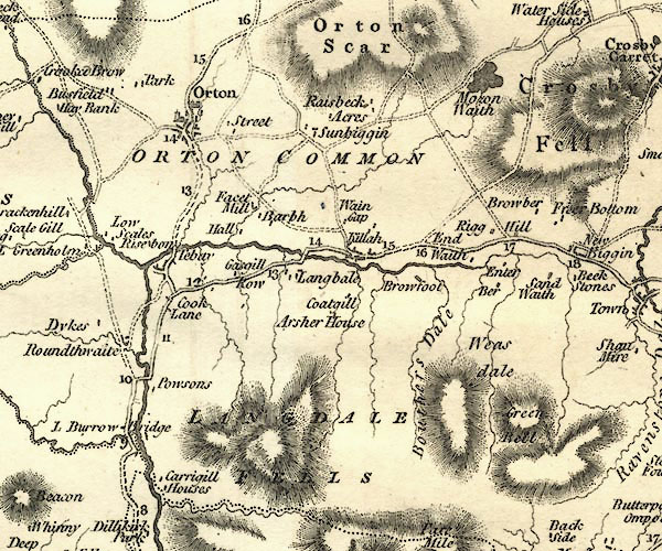
CY24NY60.jpg
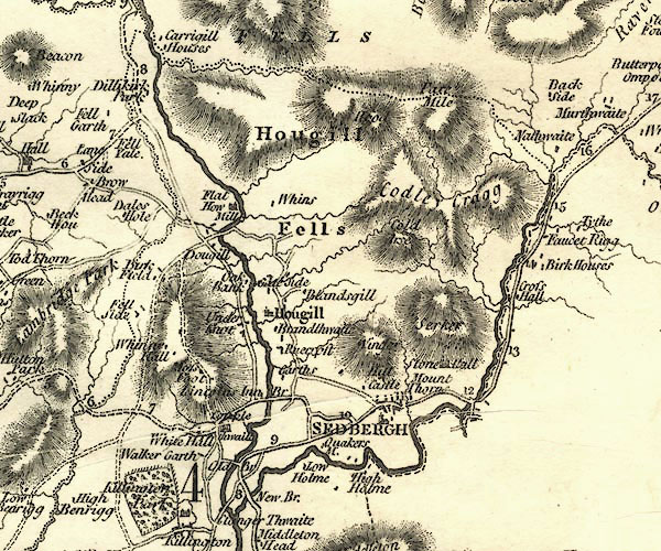
CY24SD69.jpg
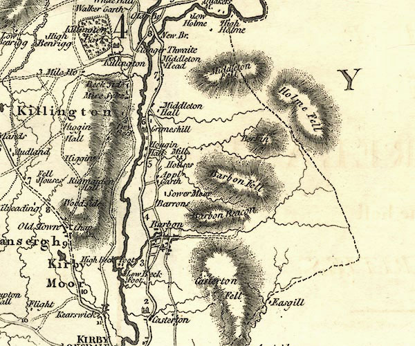
CY24SD68.jpg
CY24SD67.jpg
river
item:- JandMN : 129
Image © see bottom of page
placename:- Lune River
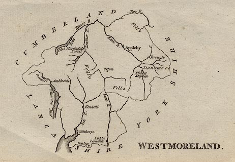 click to enlarge
AIK2.jpg
"Lune R."
river
item:- JandMN : 51
Image © see bottom of page
placename:- Lune River
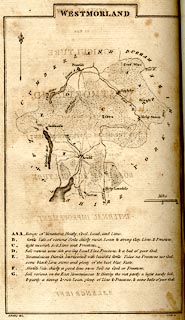 click to enlarge
BY05.jpg
"Lune R."
river
item:- Armitt Library : A680.3
Image © see bottom of page
placename:- Loyne, River
placename:- Lune, River
 goto source
 click to enlarge
C38267.jpg
page 267-268 "Cross the Loyne River."
 goto source
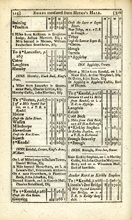 click to enlarge
C38315.jpg
page 315-316 "Cross the Lune or Loyne River."
twice
 goto source
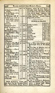 click to enlarge
C38333.jpg
page 333-334 "Cross the Loyne River"
item:- JandMN : 228.1
Image © see bottom of page
placename:- Lune River
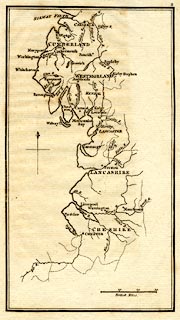 click to enlarge
M076.jpg
"Lune R."
river
item:- JandMN : 421
Image © see bottom of page
placename:- Lune River
 click to enlarge
GRA1Wd.jpg
"Lune R."
tapering wiggly line; river; county boundary
item:- Hampshire Museums : FA2000.62.4
Image © see bottom of page
placename:- Loyne River
 click to enlarge
Lw21.jpg
"Loyne R."
river; on county boundary
item:- private collection : 18.21
Image © see bottom of page
placename:- Lune, River
 goto source
"[Kirkby Lonsdale] ... river Lune, and along its banks are many pleasant walks and arbours commanding a very picturesque view. The river abounds with excellent salmon and trout. ..."
placename:- Lune River
placename:- Loyne River
 click to enlarge
COP4.jpg
"Lune or Loyne R. / Loyne R."
tapering wiggly line; river; county boundary
item:- Dove Cottage : 2007.38.53
Image © see bottom of page
placename:- Lune River
 click to enlarge
WAL5.jpg
"Lune R."
river; county boundary
item:- JandMN : 63
Image © see bottom of page
placename:- Lune
placename:- Lon
"PRINCIPAL RIVERS."
"This county is well watered by the rivers, Eden, Loder, Ken, and Lune, or Lon. ..."
"... The Lune, or Lon, rises near Kirby Lonsdale, and running S.W. after being augmented by several streams, passes into Lancashire, and running by the town of Lancaster, falls into the Irish sea about four miles below that town."
 goto source
page iii "... Near Kirkby Lonsdale observe the view from the bridge over the Lune, and descend to the channel of the river, and by no means omit looking at the Vale of Lune from the Church-yard."
placename:- Lune, River
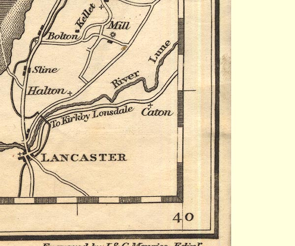
OT02SD56.jpg
"River Lune"
item:- JandMN : 48.1
Image © see bottom of page
placename:- Lune River
 click to enlarge
HA18.jpg
"Lune R."
tapering wiggly line; river; county boundary
item:- Armitt Library : 2008.14.58
Image © see bottom of page
 goto source
Page 180:- "..."
"[at Devil's Bridge, Kirkby Lonsdale] In heavy floods, the river rises a height of 15 feet or more. In ordinary seasons the battlements are about 52 feet above the level of the water. The views of the river from the centre are singularly beautiful; it here flows through a rocky channel, narrow, but of a profound depth; and the banks on either side are adorned with fine trees. ..."
item:- geology
 goto source
Page 41:- "[... the Lune - which at] Kirkby Lonsdale is a fine river, and crossed by a lofty antique bridge; it is navigable at Lancaster, a little below which place it falls into the sea."
"..."
 goto source
Page 158:- "... Towards the south-east succeeds [from the 3rd division of rocks] a series of rocks of the same dark-blue colour, and principally of a slaty structure: but accompanied in places with a rock, which breaks alike in all directions. This last has supplied a great portion of the rounded"
 goto source
Page 159:- "stones found in the beds of the rivers Kent and Lune; thus furnishing materials for paving the streets, and repairing the roads in the vicinity."
 goto source
Page 160:- "..."
"A conglomerate, composed of rounded stones of various sizes, from the smallest gravel, to the weight of several pounds, held together by a ferruginous, calcareous cement, ..."
 goto source
Page 161:- "A large mass of similar composition appears in the bed and on the banks of the river Lune at Kirkby Lonsdale. Its dip indicates that it should pass under the limestone which appears at a little distance; but, in that case, how it came to contains nodules of limestone I am at a loss to understand. ... wherever the subjacent rock can be seen, it is always deeply coloured by the iron of the conglomerate."
 click to enlarge
PER2.jpg
tapering wiggly line
item:- Dove Cottage : 2007.38.45
Image © see bottom of page
placename:- Lune River
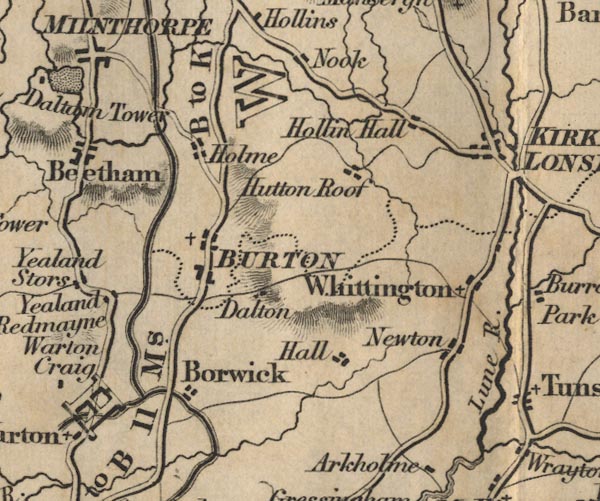
FD02SD57.jpg
"Lune R."
item:- JandMN : 100.1
Image © see bottom of page
placename:- Lune, River
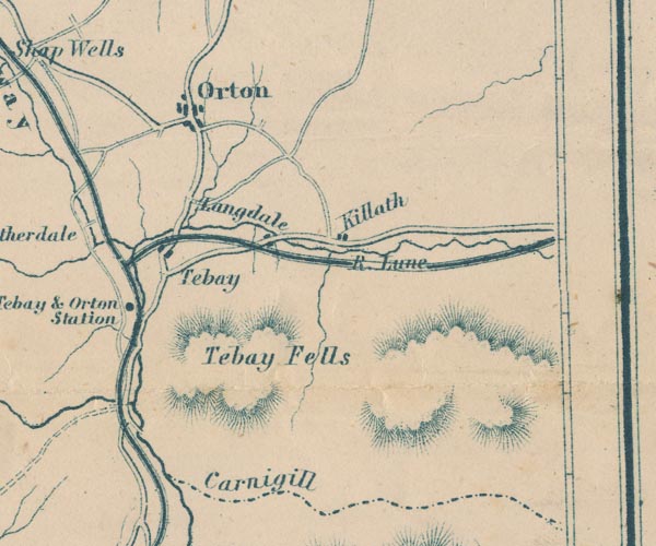
GAR2NY60.jpg
"R. Lune"
wiggly line, river
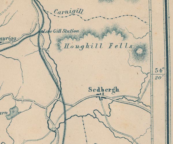
GAR2SD69.jpg
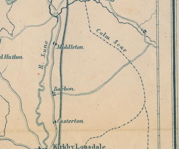
GAR2SD68.jpg
"R. Lune"
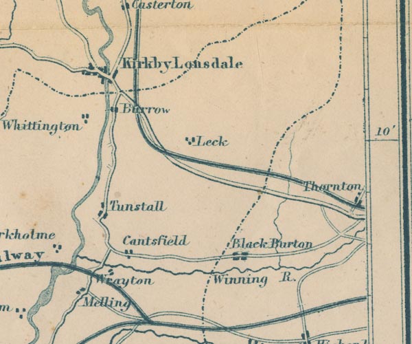
GAR2SD67.jpg
double wiggly line
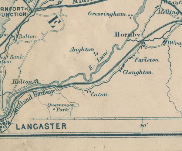
GAR2SD56.jpg
"R. Lune"
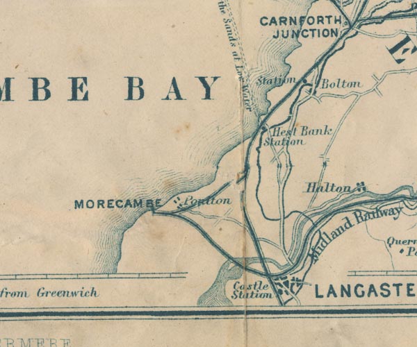
GAR2SD46.jpg
item:- JandMN : 82.1
Image © see bottom of page
placename:- Clough, River
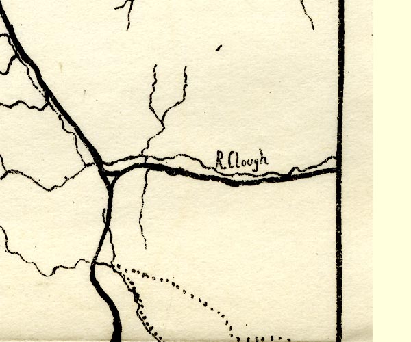
PST2NY60.jpg
"R. Clough"
wiggly line
item:- JandMN : 162.2
Image © see bottom of page
placename:- Lune, River
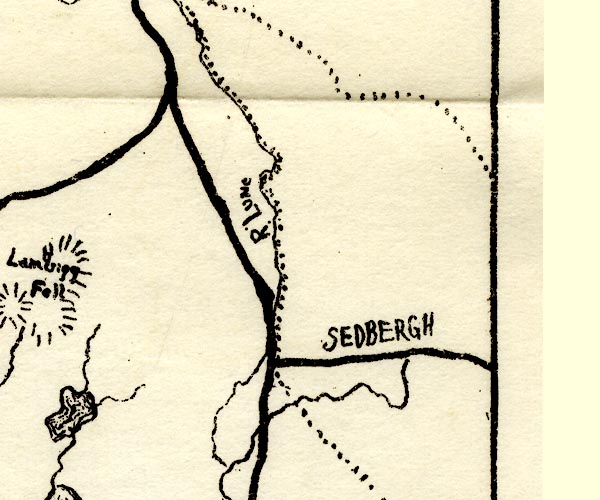
PST2SD69.jpg
"R. Lune"
wiggly line, county boundary
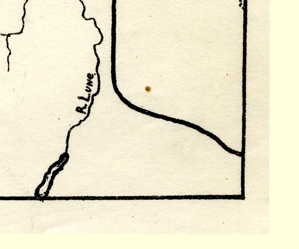
PST2SD67.jpg
"R. Lune."
wiggly line, running into an estuary
item:- JandMN : 162.2
Image © see bottom of page
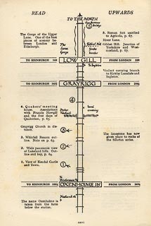 click to enlarge
LS3p26.jpg
"The Gorge of the Upper Lune. One of the best pieces of scenery between London and Edinburgh."
item:- JandMN : 95.2
Image © see bottom of page
placename:- Lune, River
 goto source
Page 371:- "..."
"RIVER LUNE. - The River Lune rises near Ravenstonedale in Westmorland, and flows in a southerly and south-westerly direction, passing about 2 miles westward of Sedbergh and on to Kirkby Lonsdale and Lancaster, 28 and 45 miles, respectively, from its source. Its chief tributaries are the Rawthey, near Sedbergh, the Greta, and the Wenning, all from the eastward. Below Lancaster, the river expands into a winding estuary which flows past Glasson dock, 5 miles below Lancaster on the left bank, and into Morecambe bay, 2 miles lower down, between a point situated northward of Cockersand abbey and Sunderland point."
"..."
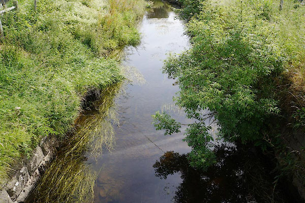
CBB21.jpg At Wath Bridge,
(taken 11.7.2014)
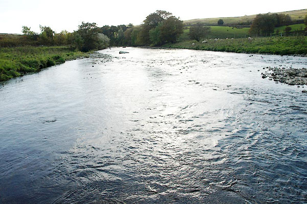
BRS93.jpg At the 'stepping stones', Tebay.
(taken 16.10.2009)
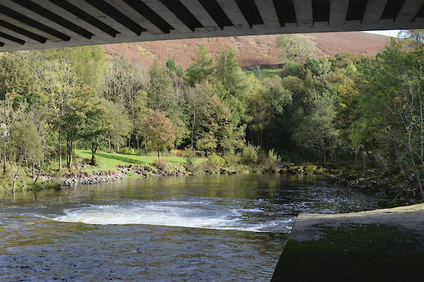
CGQ67.jpg At railway bridge,
(taken 6.10.2017)
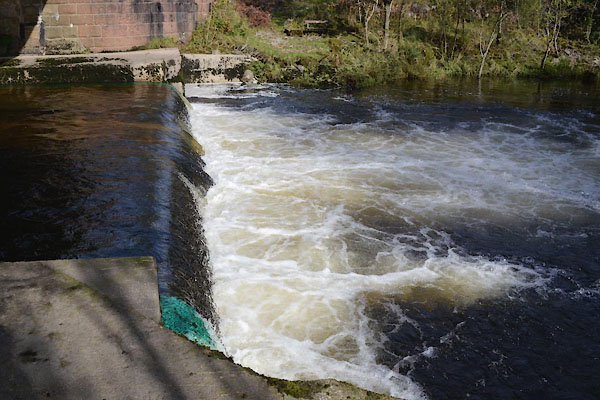
CGQ68.jpg At railway bridge,
(taken 6.10.2017)
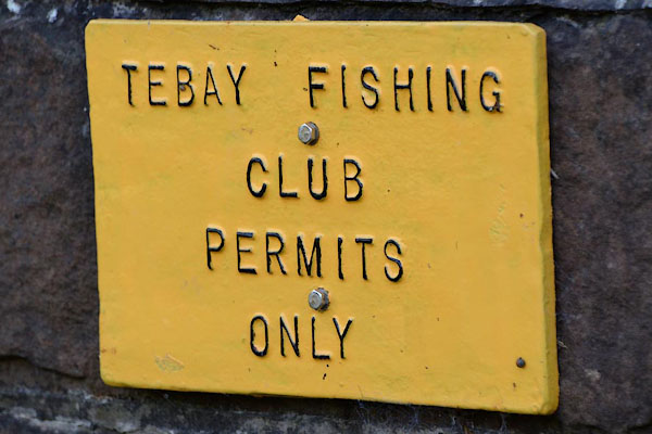
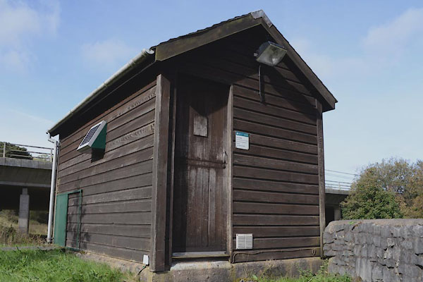
CGQ69.jpg Tebay Fishing Club notice,
(taken 6.10.2017)
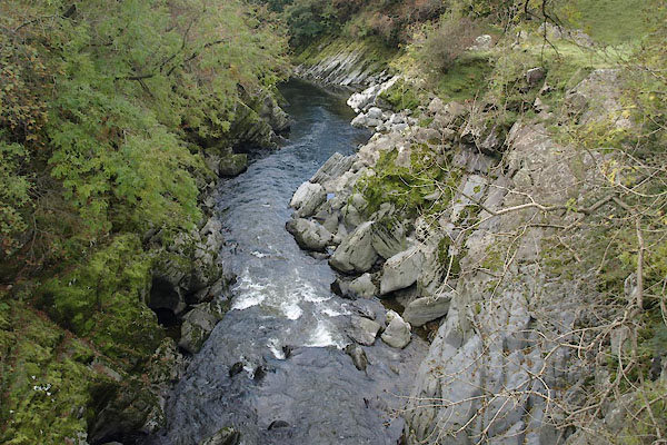
BTR45.jpg at Lune's Bridge, Tebay.
(taken 9.12.2005)
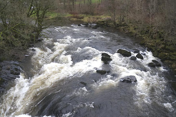
CEK89.jpg at Lune's Bridge, Tebay.
(taken 4.12.2015)
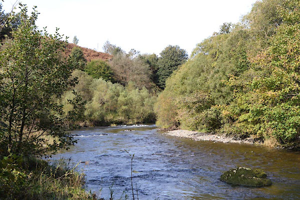
CGQ63.jpg at a motorway bridge,
(taken 5.10.2017)
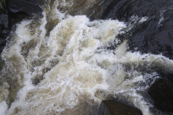
CEK90.jpg at Lune's Bridge, Tebay.
(taken 4.12.2015)
CEK91.jpg at Lune's Bridge, Tebay.
(taken 4.12.2015)
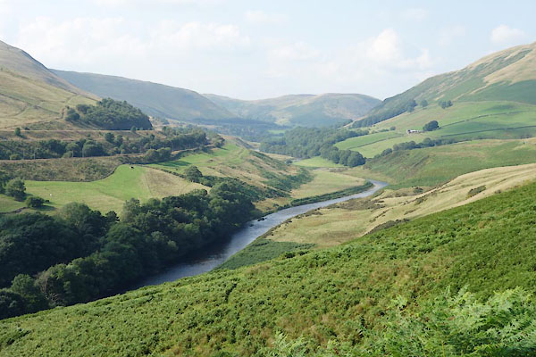
BZE13.jpg In the Lune Gap.
(taken 25.8.2013)
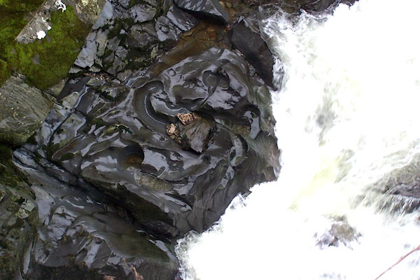
BLL29.jpg River bed at Lune's Bridge, Tebay.
(taken 9.12.2005)
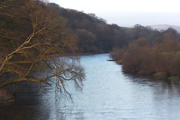
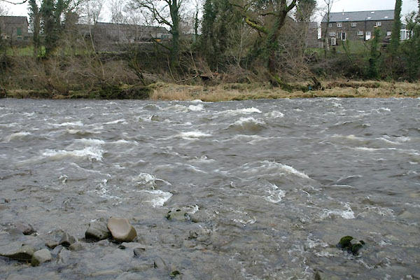
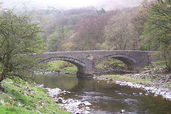
BNB57.jpg View N from Rigmaden Bridge, Mansergh.
(taken 1.12.2006)
 |
SD62339106 Agnes Force Hole (Killington / Sedbergh) |
 |
SD62508963 Blea Wheel (Killington / Sedbergh) |
 |
SD62209069 Bondsholme Hole (Killington / Sedbergh) |
 |
SD62369543 Bowers Wheel (Firbank / Sedbergh) |
 |
SD63079321 Brake Wheel (Sedbergh / Firbank) |
 |
SD62329102 bridge, Killington (3) (Killington / Sedbergh) gone |
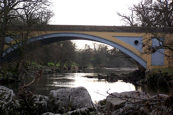 |
SD61677810 bridge, Kirkby Lonsdale (Kirkby Lonsdale / Casterton) |
 |
SD475622 bridge, Lancaster () |
 |
SD62089013 Broad Raine Mill (Killington) |
 |
SD62188993 Cringles Dubs (Sedbergh) |
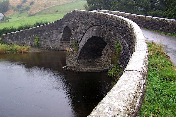 |
SD62049631 Crook of Lune Bridge (Grayrigg / Sedbergh) L |
 |
SD63169239 Crowder's Leaps (Firbank) |
 |
SD61869609 Davybank Wheel (Firbank / Sedbergh) |
 |
NY69210537 Dubbs Bridge (Ravenstonedale) |
 |
SD62149016 ferry, Killington (Killington / Sedbergh) |
 |
SD61648363 ferry, Middleton (Middleton / Mansergh) |
 |
SD63029310 Firbank Viaduct (Sedbergh) L |
 |
NY61210290 Lunes Bridge Flow Measurement Station (Tebay) |
 |
SD61188232 ford, Barbon (Barbon / Mansergh) |
 |
SD62288976 ford, Killington (Killington / Sedbergh) |
 |
SD62438825 ford, Killington (2) (Killington / Middleton) |
 |
SD61508349 ford, Middleton (Middleton / Mansergh) |
 |
NY61340429 ford, Tebay (Tebay) |
 |
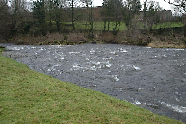
SD61888590 Hawking Ford (Middleton / Mansergh) |
 |
SD62348972 Head of Blea Wheel (Killington / Sedbergh) |
 |
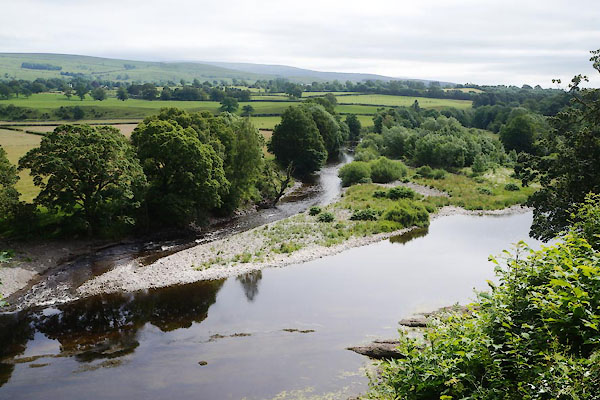
SD62819450 Hole Ford (Firbank / Sedbergh) |
 |
SD61387885 Island, The (Kirkby Lonsdale) |
 |
SD62249080 Killington New Bridge bridge L |
 |
SD62929419 Leap () |
 |
SD63179227 Lincolns Inn Bridge (Firbank / Sedbergh) L |
 |
SD62659828 Long Dub (Grayrigg / Sedbergh) |
 |
SD62709173 Loups, The (Sedbergh) |
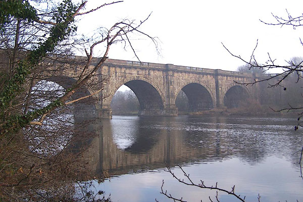 |
SD48436390 Lune Aqueduct () |
 |
SD45 Lune Estuary () |
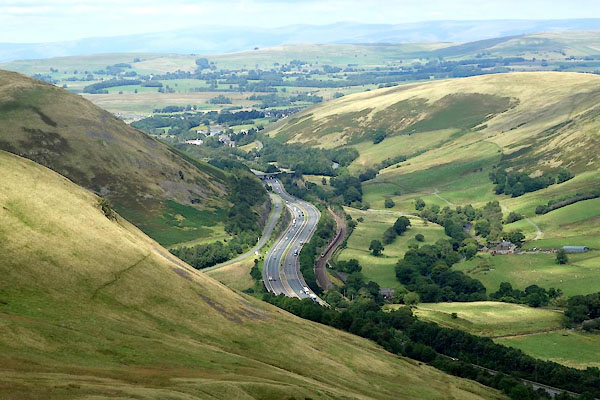 |
SD61659981 Lune Gorge (Tebay / Grayrigg) |
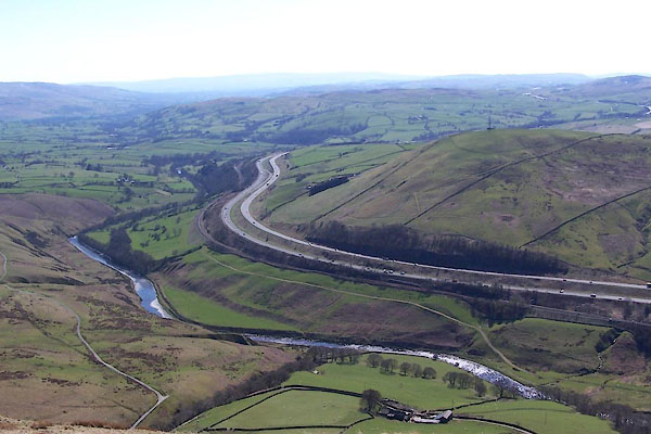 |
SD68 Lune Valley () |
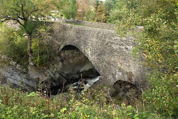 |
NY61300286 Lune's Bridge (Tebay) L |
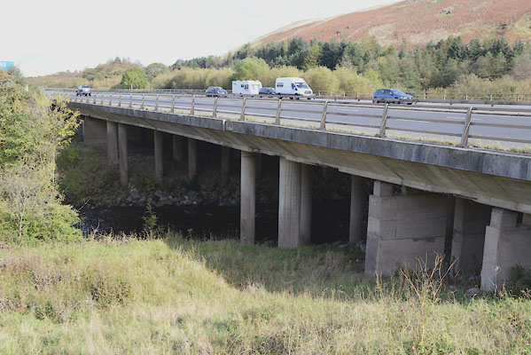 |
NY61180293 motorway bridge, Tebay (3) (Tebay) |
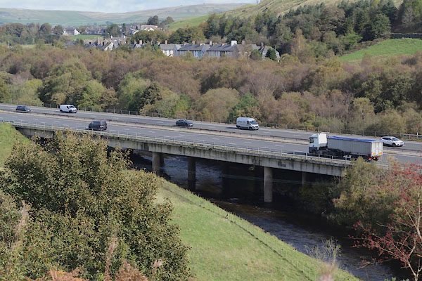 |
NY61150318 motorway bridge, Tebay (4) (Tebay) |
 |
NY70160522 New Ings Beck (Ravenstonedale) |
 |
SD63039296 Newby's Dub (Sedbergh / Firbank) |
 |
SD62589158 Nib Stile Hole (Firbank / Sedbergh) |
 |
SD62269089 Old Bridge Hole (Killington / Sedbergh) |
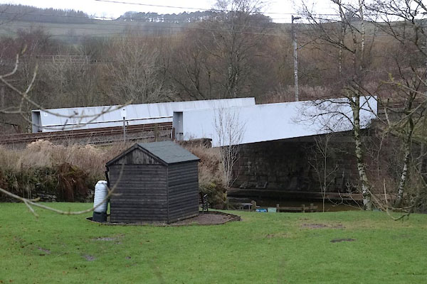 |
NY61230292 railway bridge, Tebay (2) (Tebay) |
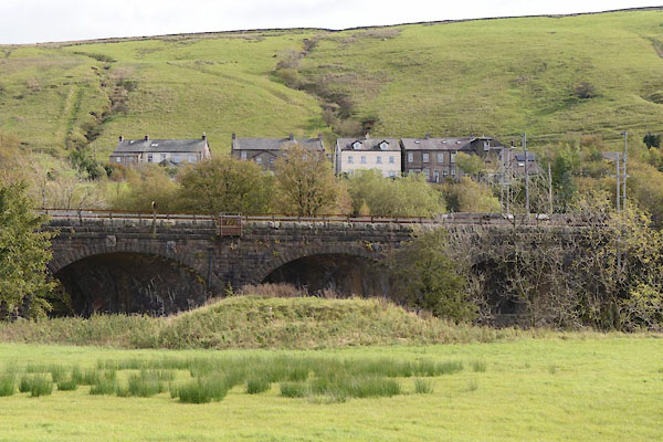 |
NY61290382 railway bridge, Tebay (3) (Tebay) |
 |
NY63500578 Raisgill Hall Bridge (Orton S) |
 |
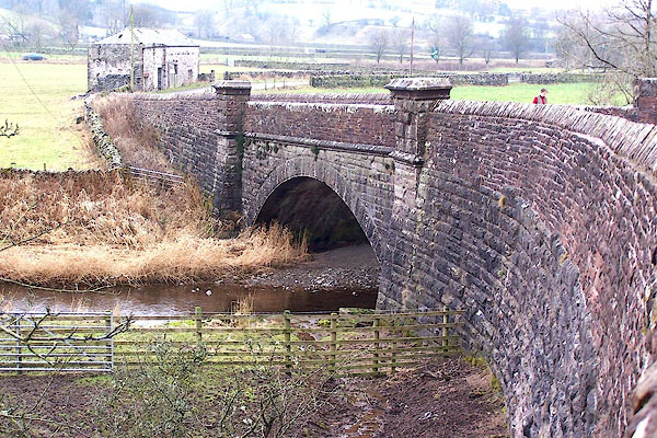
NY70260527 Ramingber Bridge (Ravenstonedale) |
 |
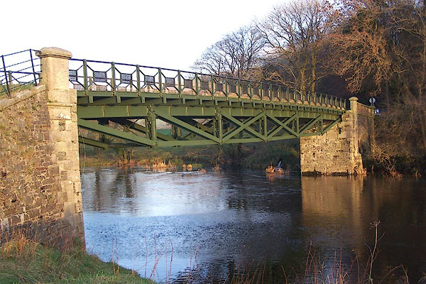
NY64490547 Rayne Bridge (Orton S) |
 |
SD61688486 Rigmaden Bridge (Mansergh / Middleton) L |
 |
NY61170089 Salterwath Bridge (Tebay) L |
 |
SD62129045 Sand Hole (Killington / Sedbergh) |
 |
SD61117909 Sandybeds Hole (Kirkby Lonsdale / Casteron) |
 |
SD60858099 Scar Ford (Barbon / Kirkby Lonsdale) |
 |
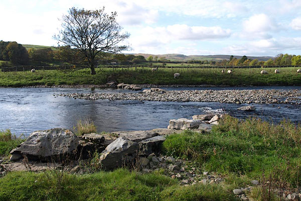
SD479622 Skerton Bridge () |
 |
NY61200505 stepping stones, Tebay (Tebay) |
 |
SD63039335 Straits (Sedbergh / Firbank) |
 |
SD61688388 Sucky Ford (Middleton / Mansergh) |
 |
NY61930561 Tebay Bridge bridge |
 |
NY61270446 Tebay Bridge (Tebay) |
 |
SD61898001 Trowlair Island (Casterton) |
 |
SD60928070 Underley Bridge (Kirkby Lonsdale / Barbon) L |
 |
NY62848959 Waters Meeting boundary feature |
 |
SD62819184 Winsters Hole (Firbank / Sedbergh) |
 |
SD61557824 Devil's Bridge (Kirkby Lonsdale / Casterton) L |
 |
SD62419664 Fleetholme Mill (Grayrigg / Sedbergh) suggested |
 |
SD53496582 Lune Bridge () |
 |
NY68400508 Wath Bridge (Ravenstonedale) |
