item:-
JandMN : 421
image:-
©
see bottom of page
M076.jpg
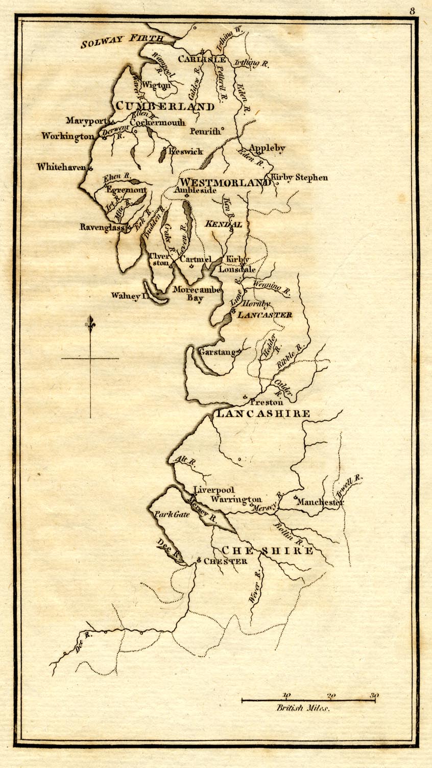
Map, uncoloured engraving, rivers in Cumberland, Westmorland, Lancashire and Cheshire, scale about 23 miles to 1 inch, by Henry Skrine, published by P Elmsly, London, 1801.
Lakes Guides menu.
 Lakes Guides menu.