 Old Cumbria Gazetteer
 |
 |
|
| bridge, Killington (3) | ||
| gone | ||
| site name:- | Lune, River | |
| civil parish:- | Killington (formerly Westmorland) | |
| civil parish:- | Sedbergh (formerly Yorkshire) | |
| county:- | Cumbria | |
| locality type:- | bridge (gone) | |
| coordinates:- | SD62329102 | |
| 1Km square:- | SD6291 | |
| 10Km square:- | SD69 | |
|
|
||
| evidence:- | old map:- Jefferys 1770 (Wmd) placename:- Old Bridge |
|
| source data:- | Map, 4 sheets, The County of Westmoreland, scale 1 inch to 1
mile, surveyed 1768, and engraved and published by Thomas
Jefferys, London, 1770.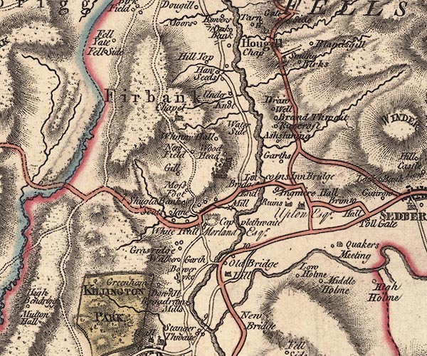 J5SD69SW.jpg "Old Bridge" circle, labelled in italic lowercase text; settlement, farm, house, or hamlet? and a double line, road, across a stream; bridge item:- National Library of Scotland : EME.s.47 Image © National Library of Scotland |
|
|
|
||
| evidence:- | old map:- Cary 1789 (edn 1805) placename:- Old Bridge |
|
| source data:- | Map, uncoloured engraving, Westmoreland, scale about 2.5 miles
to 1 inch, by John Cary, London, 1789; edition 1805.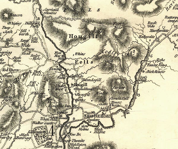 CY24SD69.jpg "Old Br" road across a stream; bridge over the Lune item:- JandMN : 129 Image © see bottom of page |
|
|
|
||
| evidence:- | old map:- OS County series (Yrk 63) placename:- Old Bridge |
|
| source data:- | "Old Bridge (Site of)" |
|
|
|
||
 Lakes Guides menu.