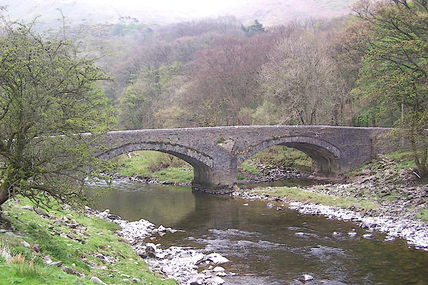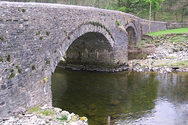


BNP34.jpg (taken 18.4.2007)

BNP35.jpg (taken 18.4.2007)
placename:- Salterwath Bridge
placename:- Salterwath Bridge
courtesy of English Heritage
"SALTERWATH BRIDGE OVER RIVER LUNE TO SOUTH OF LOW BORROWBRIDGE / / / TEBAY / EDEN / CUMBRIA / II / 74197 / NY6116700893"
courtesy of English Heritage
"Roadbridge. Rebuilt 1824 by Robert Gowling. Slobbered, coursed, squared rubble with segmental copings. Splayed ends to parapets. 2 segmental arches, each of c.4 ft span, separated by cutwater. Roadway c.20 ft wide with parapets c.3 ft high."

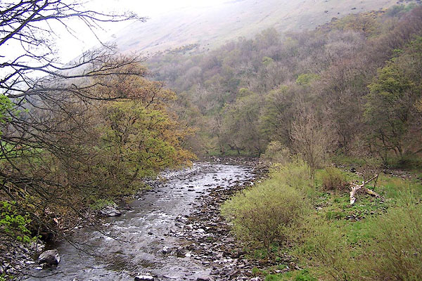
BNP36.jpg View of river.
(taken 18.4.2007)

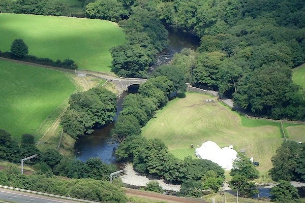
CGJ85.jpg (taken 10.8.2017)

 Lakes Guides menu.