 Old Cumbria Gazetteer
 |
 |
|
| ford, Killington | ||
| site name:- | Lune, River | |
| site name:- | road, through Killington | |
| locality:- | Head of Blea Wheel | |
| locality:- | Stangerthwaite | |
| civil parish:- | Killington (formerly Westmorland) | |
| civil parish:- | Sedbergh (formerly Yorkshire) | |
| county:- | Cumbria | |
| locality type:- | ford | |
| coordinates:- | SD62288976 | |
| 1Km square:- | SD6289 | |
| 10Km square:- | SD68 | |
|
|
||
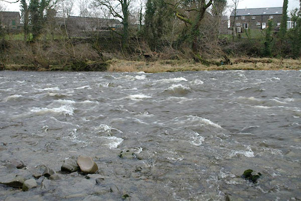 BXT67.jpg Looking straight across, from N side. (taken 21.12.2012) |
||
| Although it rained heavily on the 20th and the river had been up, it was down again.
It doesn't look inviting, unless you have a horse. |
||
|
|
||
| evidence:- | old map:- OS County Series (Wmd 39 16) |
|
| source data:- | Maps, County Series maps of Great Britain, scales 6 and 25
inches to 1 mile, published by the Ordnance Survey, Southampton,
Hampshire, from about 1863 to 1948. "Ford" |
|
|
|
||
| evidence:- | old map:- Cary 1789 (edn 1805) |
|
| source data:- | Map, uncoloured engraving, Westmoreland, scale about 2.5 miles
to 1 inch, by John Cary, London, 1789; edition 1805.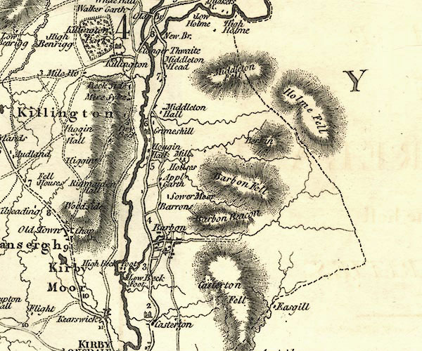 CY24SD68.jpg road across a stream; bridge over the Lune; which it isn't item:- JandMN : 129 Image © see bottom of page |
|
|
|
||
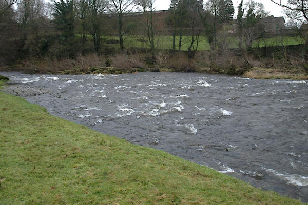 BXT66.jpg Running from left to right across the Lune; from N side. (taken 21.12.2012) 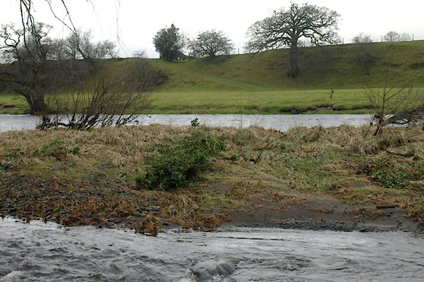 BXT72.jpg From S side. (taken 21.12.2012) |
||
|
|
||
 Lakes Guides menu.