 Old Cumbria Gazetteer
 |
 |
|
| Dubbs Bridge, Ravenstonedale | ||
| Dubbs Bridge | ||
| site name:- | Lune, River | |
| locality:- | Dubbs | |
| civil parish:- | Ravenstonedale (formerly Westmorland) | |
| county:- | Cumbria | |
| locality type:- | bridge | |
| coordinates:- | NY69210537 | |
| 1Km square:- | NY6905 | |
| 10Km square:- | NY60 | |
|
|
||
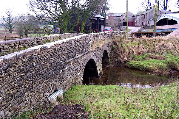 BLL33.jpg Farm access. (taken 9.12.2005) 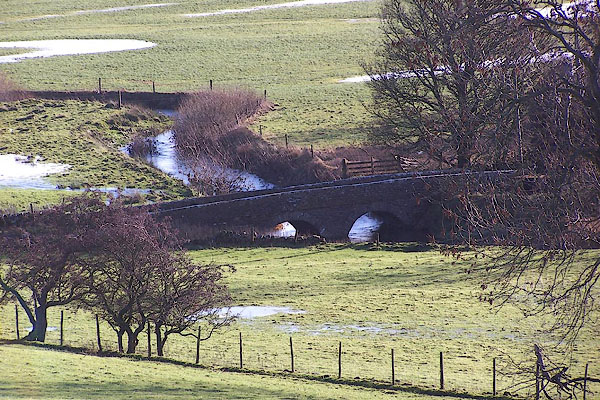 BNB87.jpg (taken 8.12.2006) |
||
|
|
||
| evidence:- | old map:- OS County Series (Wmd 29 7) placename:- Dubbs Bridge |
|
| source data:- | Maps, County Series maps of Great Britain, scales 6 and 25
inches to 1 mile, published by the Ordnance Survey, Southampton,
Hampshire, from about 1863 to 1948. |
|
|
|
||
 Lakes Guides menu.