Old Cumbria Gazetteer
 |
 |
|
||
| Kirkoswald | ||||
| civil parish:- | Kirkoswald (formerly Cumberland) | |||
| county:- | Cumbria | |||
| locality type:- | locality | |||
| locality type:- | buildings | |||
| locality type:- | selected place | |||
| coordinates:- | NY55504121 | |||
| 1Km square:- | NY5541 | |||
| 10Km square:- | NY54 | |||
| latitude; longitude:- | 2d 41.5m W; 54d 45.8m N | |||
|
|
||||
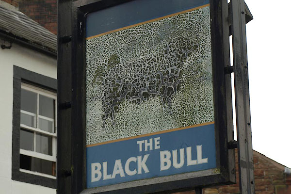
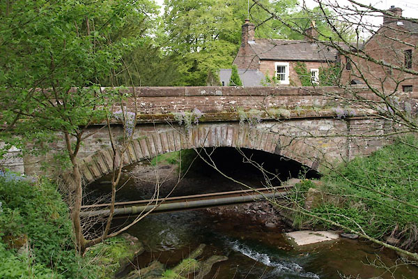
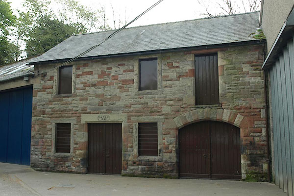
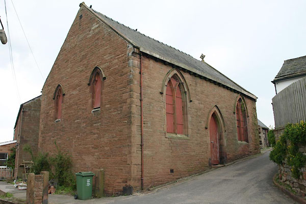
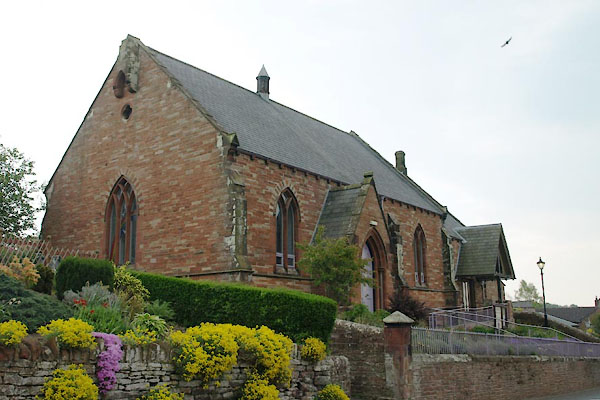
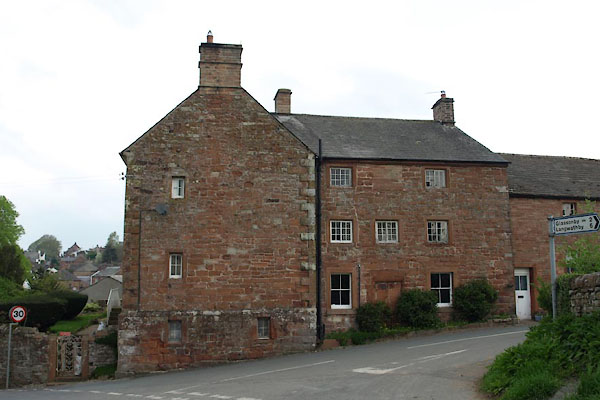
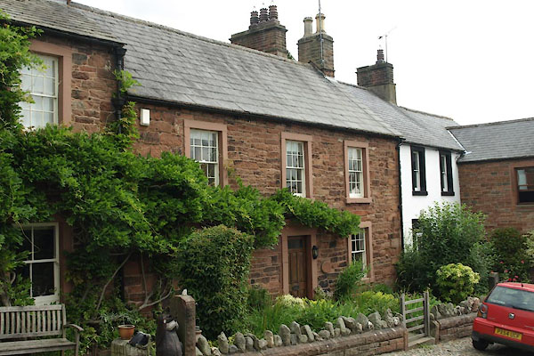
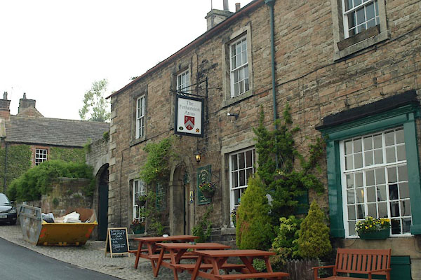
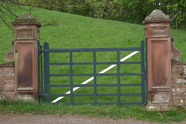
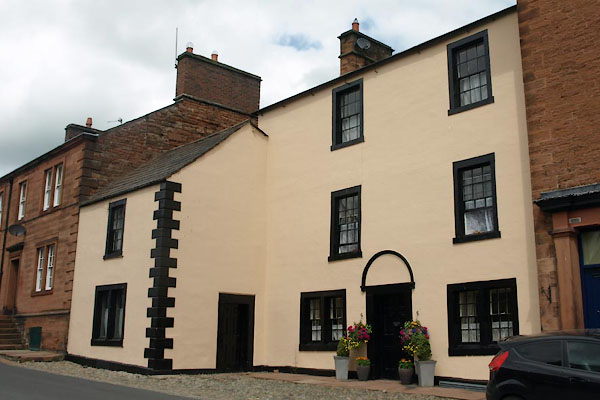
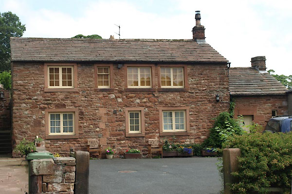
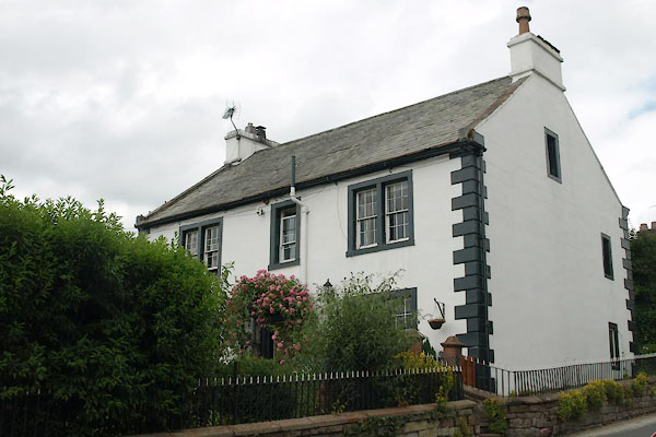
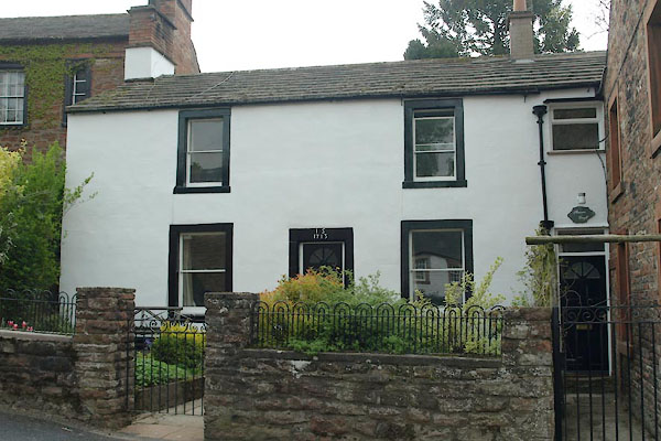
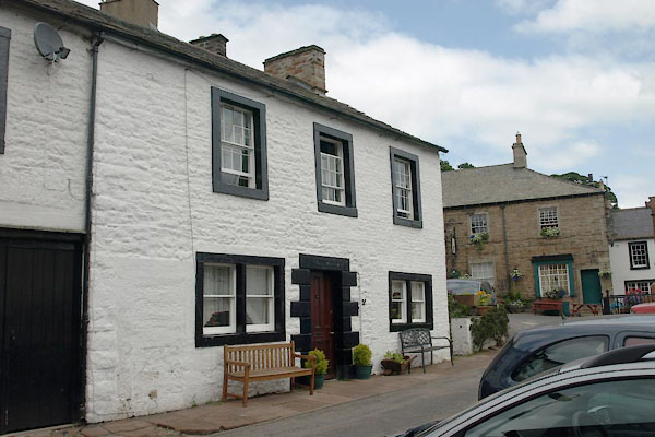
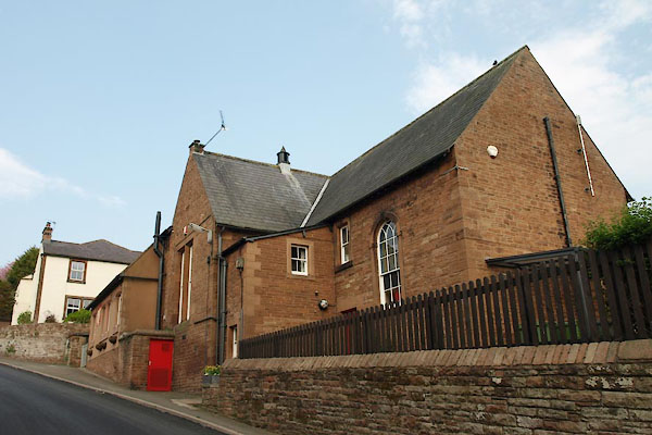
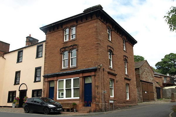
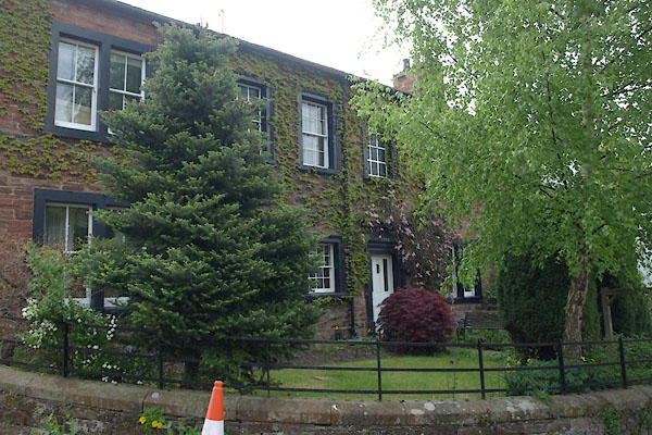
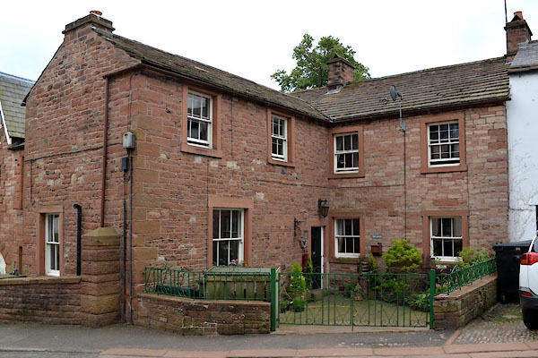
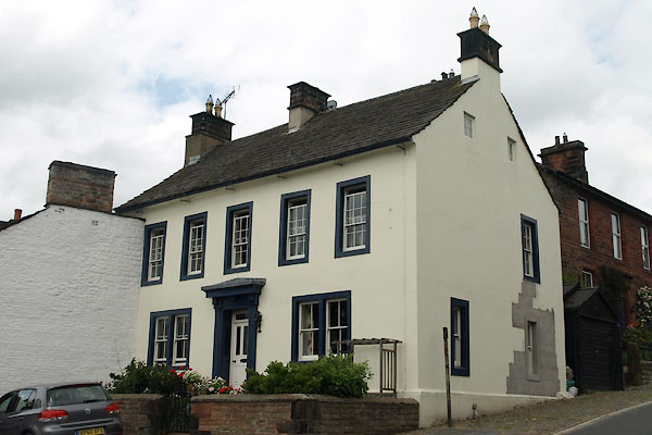
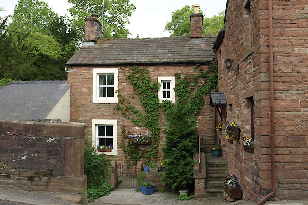
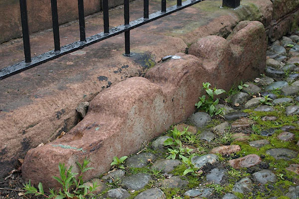
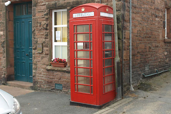
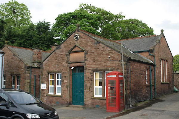
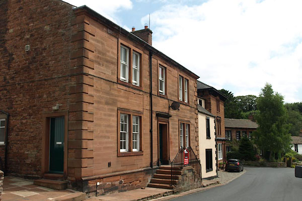
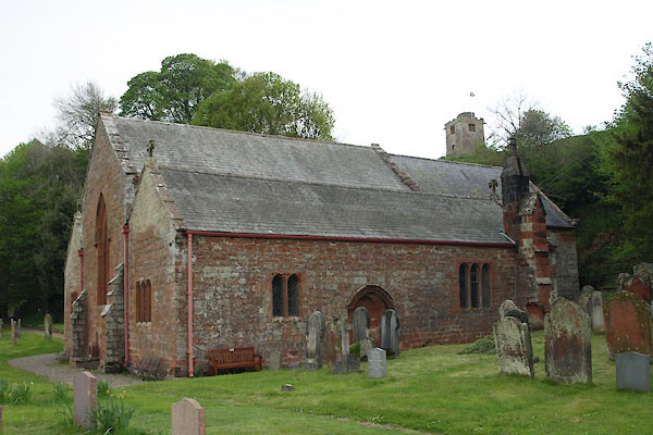
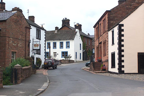 BJU34.jpg (taken 26.8.2005) 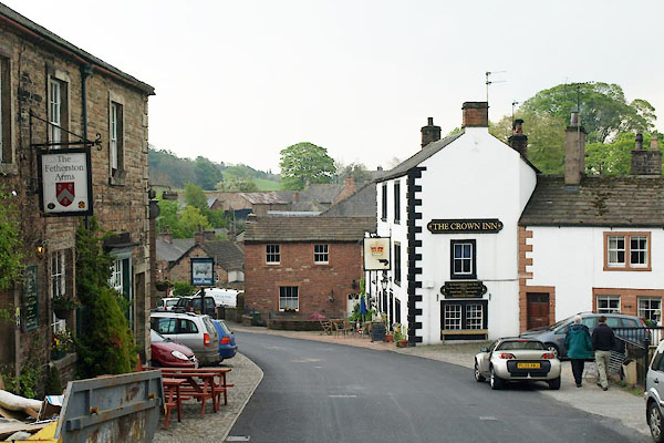 BUL38.jpg (taken 29.4.2011) |
||||
|
|
||||
| evidence:- | old map:- OS County Series (Cmd 40 6) placename:- Kirkoswald |
|||
| source data:- | Maps, County Series maps of Great Britain, scales 6 and 25
inches to 1 mile, published by the Ordnance Survey, Southampton,
Hampshire, from about 1863 to 1948. |
|||
|
|
||||
| evidence:- | old map:- Saxton 1579 placename:- Kirkoswold |
|||
| source data:- | Map, hand coloured engraving, Westmorlandiae et Cumberlandiae Comitatus ie Westmorland
and Cumberland, scale about 5 miles to 1 inch, by Christopher Saxton, London, engraved
by Augustinus Ryther, 1576, published 1579-1645. Sax9NY53.jpg Church, symbol for a parish or village, with a parish church. "Kirkoswold" item:- private collection : 2 Image © see bottom of page |
|||
|
|
||||
| evidence:- | old map:- Mercator 1595 (edn?) placename:- Kirk Oswald |
|||
| source data:- | Map, hand coloured engraving, Northumbria, Cumberlandia, et
Dunelmensis Episcopatus, ie Northumberland, Cumberland and
Durham etc, scale about 6.5 miles to 1 inch, by Gerard Mercator,
Duisberg, Germany, about 1595. MER8CumD.jpg "Kirk Oswald" circle, building and tower item:- JandMN : 169 Image © see bottom of page |
|||
|
|
||||
| evidence:- | old map:- Speed 1611 (Cmd) |
|||
| source data:- | Map, hand coloured engraving, Cumberland and the Ancient Citie
Carlile Described, scale about 4 miles to 1 inch, by John Speed,
1610, published by J Sudbury and George Humble, Popes Head
Alley, London, 1611-12. SP11NY54.jpg circle, building, tower item:- private collection : 16 Image © see bottom of page |
|||
|
|
||||
| evidence:- | old map:- Jansson 1646 placename:- Kirkoswold |
|||
| source data:- | Map, hand coloured engraving, Cumbria and Westmoria, ie
Cumberland and Westmorland, scale about 3.5 miles to 1 inch, by
John Jansson, Amsterdam, Netherlands, 1646. JAN3NY54.jpg "Kirkoswold" Buildings and tower. item:- JandMN : 88 Image © see bottom of page |
|||
|
|
||||
| evidence:- | old map:- Sanson 1679 placename:- Kirkoswold |
|||
| source data:- | Map, hand coloured engraving, Ancien Royaume de Northumberland
aujourdhuy Provinces de Nort, ie the Ancient Kingdom of
Northumberland or the Northern Provinces, scale about 9.5 miles
to 1 inch, by Nicholas Sanson, Paris, France, 1679. click to enlarge click to enlargeSAN2Cm.jpg "Kirkoswold" circle, building and tower, flag; town? item:- Dove Cottage : 2007.38.15 Image © see bottom of page |
|||
|
|
||||
| evidence:- | old map:- Morden 1695 (EW) placename:- Kirkoswald |
|||
| source data:- | Map, hand coloured engraving, England, including Wales, scale
about 27 miles to 1 inch, by Robert Morden, published by Abel
Swale Awnsham and John Churchil, London, about 1695. click to enlarge click to enlargeMRD3Cm.jpg "Kirkoswald" circle; village or town item:- JandMN : 339 Image © see bottom of page |
|||
|
|
||||
| evidence:- | old map:- Morden 1695 (Cmd) placename:- Kirk Oswald |
|||
| source data:- | Map, uncoloured engraving, Cumberland, scale about 4 miles to 1
inch, by Robert Morden, 1695, published by Abel Swale, the
Unicorn, St Paul's Churchyard, Awnsham, and John Churchill, the
Black Swan, Paternoster Row, London, 1695-1715.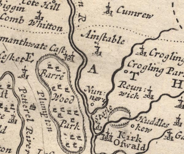 MD12NY54.jpg "Kirk Oswald" Circle, buildings, towers. item:- JandMN : 90 Image © see bottom of page |
|||
|
|
||||
| evidence:- | old map:- Badeslade 1742 placename:- Kirk Oswald |
|||
| source data:- | Map, uncoloured engraving, A Map of Cumberland North from
London, scale about 11 miles to 1 inch, with descriptive text,
by Thomas Badeslade, London, engraved and published by William
Henry Toms, Union Court, Holborn, London, 1742. click to enlarge click to enlargeBD10.jpg "Kirk Oswald" circle labelled in upright lowercase text; town? item:- JandMN : 115 Image © see bottom of page |
|||
|
|
||||
| evidence:- | descriptive text:- Simpson 1746 placename:- Kirkswald |
|||
| source data:- | Atlas, three volumes of maps and descriptive text published as
'The Agreeable Historian, or the Compleat English Traveller
...', by Samuel Simpson, 1746. goto source goto source"The principal Towns in Cumberland, are, ... Kerkoswald, ..." goto source"..." "Kirkswald, lying Westward of Wigtown, and the City of Carlisle, and on the Western Banks of the River Eden, is a small Market Town, which had its Name from the Church, dedicated to St. Oswald. There is nothing here of any Note. It is 210 Miles computed, and 252 measured from London. The Market is held on Thursdays." |
|||
|
|
||||
| evidence:- | old map:- Simpson 1746 map (Wmd) placename:- Kirkoswald |
|||
| source data:- | Map, uncoloured engraving, Westmorland, scale about 8 miles to 1
inch, printed by R Walker, Fleet Lane, London, 1746.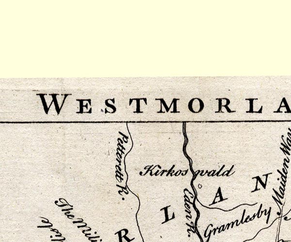 SMP2NYM.jpg "Kirkoswald" Circle. item:- Dove Cottage : 2007.38.59 Image © see bottom of page |
|||
|
|
||||
| evidence:- | old map:- Bickham 1753-54 (Cmd) placename:- Kirk Oswald |
|||
| source data:- | Map, uncoloured engraving, perspective map, Map of Cumberland
North from London, by George Bickham, James Street, Bunhill
Fields, London, 1753, published by F Jollie and Sons, Carlisle,
Cumberland, 1811. click to enlarge click to enlargeJL05.jpg "Kirk Oswald" view (sort of) item:- Carlisle Library : 4.2 Image © Carlisle Library |
|||
|
|
||||
| evidence:- | old map:- Bowen and Kitchin 1760 placename:- Kirk Oswald |
|||
| source data:- | Map, hand coloured engraving, A New Map of the Counties of
Cumberland and Westmoreland Divided into their Respective Wards,
scale about 4 miles to 1 inch, by Emanuel Bowen and Thomas
Kitchin et al, published by T Bowles, Robert Sayer, and John
Bowles, London, 1760.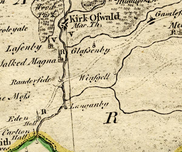 BO18NY53.jpg "Kirk Oswald Mar. Th. / V" blocks, street plan, town, market, vicarage item:- Armitt Library : 2008.14.10 Image © see bottom of page |
|||
|
|
||||
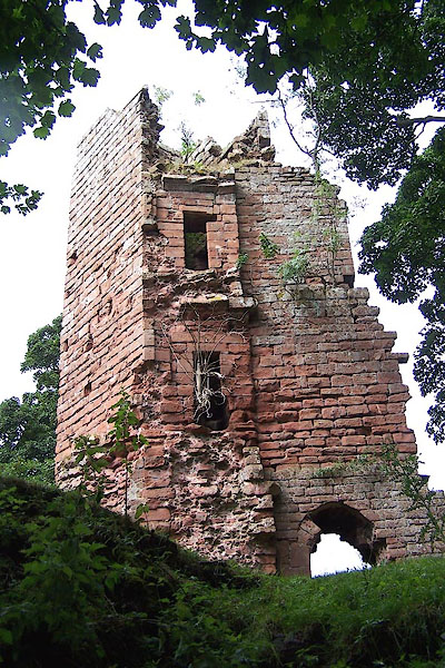
| evidence:- | old text:- Pennant 1773 placename:- Kirk Oswald item:- murder; sword, Morville |
|||
| source data:- | Book, A Tour from Downing to Alston Moor, 1773, by Thomas
Pennant, published by Edward Harding, 98 Pall Mall, London, 1801. goto source Pennant's Tour 1773, page 167 "The vale now expands, and has a rich appearance. I reached Kirk-Oswald, a small town on the east side of the Eden. A considerable estate adjacent belongs to Sir Philip Musgrave, having been purchased by his father Sir Christopher from the co-heiresses; from Lennard lord Dacre, created Earl of Sussex by Charles, on the merit of having married a daughter of his by the Duchess of Cleaveland. Lord Dacre acquired it from Lennard, Lennard from a Fynes, he from the Dacres; again they from a Multon, Multon from Hugh de Morville, and, finally, De Morville" goto sourcePennant's Tour 1773, page 168 "from his wife Helwise, daughter of a Stotevil. Hugh de Morville was one of the murderers of Thomas Becket, the turbulent priest of the reign of Henry II. who a thousand times had merited a legal death: but the manner was as horrible, as the scene was impious. No peculiar judgments followed the assassins, as superstition feigned; no tails issued from behind, to mark them as so many Cains, as the monks alleged; no sudden deaths overtook them. William de Tracy lived almost to the reign of King John, and Hugh de Morville till about the sixth year of that monarch. In the second he obtained a licence to inclose his woods at Kirk-Oswald, to fortify his manor-house, and to have there an annual fair and weekly market. Nor did his remorse seem to have been very deep, if it is true that he preserved the sword with which he did the murder. ..." |
|||
|
|
||||
| evidence:- | old map:- Donald 1774 (Cmd) placename:- Kirkoswald |
|||
| source data:- | Map, hand coloured engraving, 3x2 sheets, The County of Cumberland, scale about 1
inch to 1 mile, by Thomas Donald, engraved and published by Joseph Hodskinson, 29
Arundel Street, Strand, London, 1774.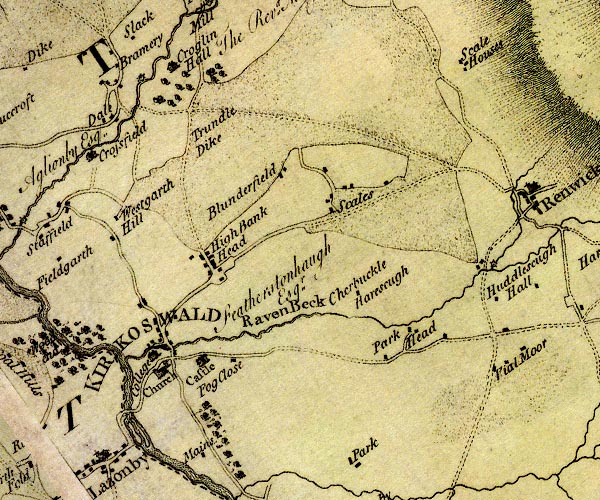 D4NY54SE.jpg "KIRKOSWALD" blocks, perhaps a church, labelled in block caps; a town item:- Carlisle Library : Map 2 Image © Carlisle Library |
|||
|
|
||||
| evidence:- | old map:- Donald 1774 (Cmd) placename:- Kirkoswald |
|||
| source data:- | Map, hand coloured engraving, 3x2 sheets, The County of Cumberland, scale about 1
inch to 1 mile, by Thomas Donald, engraved and published by Joseph Hodskinson, 29
Arundel Street, Strand, London, 1774.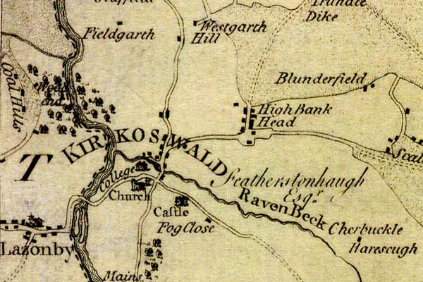 DN04Krks.jpg "KIRKOSWALD" Labelled in block caps for a market town; a cluster of buildings on the roads. item:- Carlisle Library : Map 2 Image © Carlisle Library |
|||
|
|
||||
| evidence:- | old map:- Donald 1774 (Cmd) placename:- Kirkoswald |
|||
| source data:- | Map, hand coloured engraving, 3x2 sheets, The County of Cumberland, scale about 1
inch to 1 mile, by Thomas Donald, engraved and published by Joseph Hodskinson, 29
Arundel Street, Strand, London, 1774. D4NY54SE.jpg "KIRKOSWALD" blocks, perhaps a church, labelled in block caps; a town item:- Carlisle Library : Map 2 Image © Carlisle Library |
|||
|
|
||||
| evidence:- | old map:- Donald 1774 (Cmd) placename:- Kirkoswald |
|||
| source data:- | Map, hand coloured engraving, 3x2 sheets, The County of Cumberland, scale about 1
inch to 1 mile, by Thomas Donald, engraved and published by Joseph Hodskinson, 29
Arundel Street, Strand, London, 1774. DN04Krks.jpg "KIRKOSWALD" Labelled in block caps for a market town; a cluster of buildings on the roads. item:- Carlisle Library : Map 2 Image © Carlisle Library |
|||
|
|
||||
| evidence:- | old map:- Pennant 1777 placename:- Kirk Oswald |
|||
| source data:- | Map, hand coloured engraving, A Map of Scotland, Hebrides and
Part of England, drawn for Thomas Pennant, engraved by J Bayly,
published by Benjamin White, London, 1777. click to enlarge click to enlargePEN1Cm.jpg "Kirk Oswald" circle; buildings, village, etc item:- private collection : 66 Image © see bottom of page |
|||
|
|
||||
| evidence:- | old text:- Camden 1789 placename:- Kirk Oswald item:- sword |
|||
| source data:- | Book, Britannia, or A Chorographical Description of the Flourishing Kingdoms of England,
Scotland, and Ireland, by William Camden, 1586, translated from the 1607 Latin edition
by Richard Gough, published London, 1789. goto source Page 174:- "..." "... Kirk Oswald, dedicated to St. Oswald, formerly the property of that Hugh Morvill, who, with his accomplices, murdered Thomas archbishop of Canterbury, in memory of which fact the sword which he then used was long preserved here; ..." |
|||
|
|
||||
| evidence:- | old text:- Camden 1789 (Gough Additions) placename:- Kirk Oswald |
|||
| source data:- | Book, Britannia, or A Chorographical Description of the Flourishing Kingdoms of England,
Scotland, and Ireland, by William Camden, 1586, translated from the 1607 Latin edition
by Richard Gough, published London, 1789. goto source Page 190:- "..." "[Kirk Oswald castle] ... sir Hugh Morbill, who got the town [Kirkoswald] a market t. John, ..." |
|||
|
|
||||
| evidence:- | old map:- Aikin 1790 (Cmd) placename:- Kirk Oswald |
|||
| source data:- | Map, uncoloured engraving, Cumberland, by John Aikin, London,
1790. click to enlarge click to enlargeAIK3.jpg "Kirk Oswald" circle; town item:- JandMN : 145 Image © see bottom of page |
|||
|
|
||||
| evidence:- | old map:- Bailey 1797 placename:- Kirkoswald |
|||
| source data:- | Map, soil etc, uncoloured engraving, Cumberland, scale about 21
miles to 1 inch, by J Bailey, engraved by Neele, Strand,
published by Messrs Robinson, Paternoster Row and G Nicol, Pall
Mall, London, 1797. click to enlarge click to enlargeBY04.jpg "Kirkoswald" group of blocks; town item:- Armitt Library : A680.2 Image © see bottom of page |
|||
|
|
||||
| evidence:- | road book:- Cary 1798 (2nd edn 1802) placename:- Kirkoswald |
|||
| source data:- | Road book, itineraries, Cary's New Itinerary, by John Cary, 181
Strand, London, 2nd edn 1802. goto source click to enlarge click to enlargeC38319.jpg page 319-320 "Kirkoswald" market town item:- JandMN : 228.1 Image © see bottom of page |
|||
|
|
||||
| evidence:- | old map:- Cooke 1802 placename:- Kirk Oswald |
|||
| source data:- | Map, Cumberland, scale about 15.5 miles to 1 inch, by George
Cooke, 1802, bound in Gray's New Book of Roads, 1824, published
by Sherwood, Jones and Co, Paternoster Road, London, 1824. click to enlarge click to enlargeGRA1Cd.jpg "Kirk Oswald / 290" blocks, upright lowercase text; town, distance from London item:- Hampshire Museums : FA2000.62.2 Image © see bottom of page |
|||
|
|
||||
| evidence:- | old map:- Laurie and Whittle 1806 placename:- Kirk Oswald |
|||
| source data:- | Road map, Continuation of the Roads to Glasgow and Edinburgh,
scale about 10 miles to 1 inch, by Nathaniel Coltman? 1806,
published by Robert H Laurie, 53 Fleet Street, London, 1834. click to enlarge click to enlargeLw21.jpg "Kirk Oswald 292" market town; distance from London item:- private collection : 18.21 Image © see bottom of page |
|||
|
|
||||
| evidence:- | old text:- Capper 1808 placename:- Kirk Oswald item:- population; market; fair |
|||
| source data:- | Gazetteer, A Topographical Dictionary of the United Kingdom,
compiled by Benjamin Pitts Capper, published by Richard
Phillips, Bridge Street, Blackfriars, London, 1808; published
1808-29. goto source "..." "KIRK OSWALD, a market-town and parish in Leath ward, Cumberland, 7 miles from Penrith, and 292 from London; containing 139 houses and 634 inhabitants. It lies on the east side of the river Eden, near which stands the remains of a castle, once a magnificent residence. In the reign of Henry VIII. a college was founded here for 12 priests. The church is a very irregular, old building, ... Here is a dissenting meeting-house and a charity school. Market on Thursday. Fairs Thursday before Whitsunday and 5th August. The living is a vicarage, rated at 8l. Patron the king." "..." |
|||
|
|
||||
| evidence:- | old map:- Cooper 1808 placename:- Kirk Oswald |
|||
| source data:- | Map, uncoloured engraving, Cumberland, scale about 10.5 miles to
1 inch, drawn and engraved by Cooper, published by R Phillips,
Bridge Street, Blackfriars, London, 1808. click to enlarge click to enlargeCOP3.jpg "Kirk Oswald" circle with two side bars; town item:- JandMN : 86 Image © see bottom of page |
|||
|
|
||||
| evidence:- | old map:- Wallis 1810 (Cmd) placename:- Kirk Oswald |
|||
| source data:- | Road map, hand coloured engraving, Cumberland, scale about 16
miles to 1 inch, by James Wallis, 77 Berwick Stree, Soho,
London, 1810. click to enlarge click to enlargeWL13.jpg "Kirk Oswald / [ ]" town; distance from London item:- Dove Cottage : 2009.81.10 Image © see bottom of page |
|||
|
|
||||
| evidence:- | old map:- Otley 1818 placename:- Kirkoswald |
|||
| source data:- | Map, uncoloured engraving, The District of the Lakes,
Cumberland, Westmorland, and Lancashire, scale about 4 miles to
1 inch, by Jonathan Otley, 1818, engraved by J and G Menzies,
Edinburgh, Scotland, published by Jonathan Otley, Keswick,
Cumberland, et al, 1833.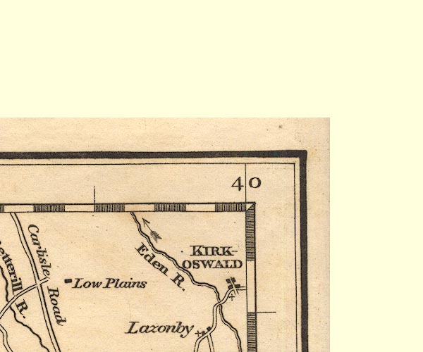 OT02NY54.jpg "KIRKOSWALD" item:- JandMN : 48.1 Image © see bottom of page |
|||
|
|
||||
| evidence:- | old text:- Gents Mag item:- fire, Kirkoswald |
|||
| source data:- | Magazine, The Gentleman's Magazine or Monthly Intelligencer or
Historical Chronicle, published by Edward Cave under the
pseudonym Sylvanus Urban, and by other publishers, London,
monthly from 1731 to 1922. goto source Gentleman's Magazine 1819 part 1 p.505 From the Compendium of County History:- "1314. Kirk-oswald burnt and Lanercost pillaged by the Scots under Edward Bruce, brother of the King." |
|||
|
|
||||
| evidence:- | old map:- Hall 1820 (Cmd) placename:- Kirkoswald |
|||
| source data:- | Map, hand coloured engraving, Cumberland, scale about 21 miles
to 1 inch, engraved by Sidney Hall, published by S Leigh, 18
Strand, London, 1820-31. click to enlarge click to enlargeHA14.jpg "Kirkoswald / 292" circle, upright lowercase text; town; distance from London item:- JandMN : 91 Image © see bottom of page |
|||
|
|
||||
| evidence:- | old map:- Perrot 1823 placename:- Kirkaswald |
|||
| source data:- | Map, hand coloured engraving, Cumberland and Westmoreland ie
Westmorland, scale about 38 miles to 1 inch, by Aristide Michel
Perrot, engraved by Migneret, 1823, published by Etienne Ledoux,
9 Rue Guenegaud, Paris, France, 1824-48. click to enlarge click to enlargePER2.jpg "Kirkas-wald" circle; town item:- Dove Cottage : 2007.38.45 Image © see bottom of page |
|||
|
|
||||
| evidence:- | old map:- Greenwood 1824 placename:- Kirkoswald |
|||
| source data:- | Map, engraving, Map of the County of Cumberland, scale about 1
inch to 1 mile, etc, by Christopher and John Greenwood,
published by George Pringle jnr, 70 Queen Street, Cheapside,
London, 1823.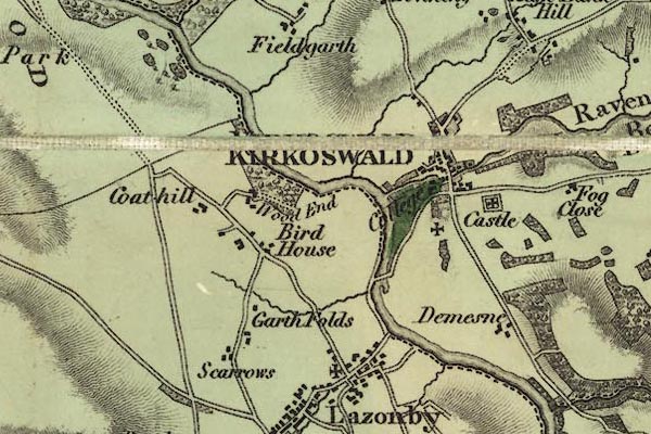 gw12krks.jpg "KIRKOSWALD" street map; labelled in block caps for a market town. item:- National Library of Scotland : EME.b.3.11 Image © National Library of Scotland |
|||
|
|
||||
| evidence:- | old map:- Cobbett 1832 placename:- Kirk Oswald |
|||
| source data:- | Map, uncoloured engraving, Cumberland, scale about 20 miles to 1
inch, by William Cobbett, 11 Bolt Court, Fleet Street, London,
1832. click to enlarge click to enlargeCOB5.jpg "Kirk Oswald" dot and circle; town item:- JandMN : 117 Image © see bottom of page |
|||
|
|
||||
| evidence:- | descriptive text:- Ford 1839 (3rd edn 1843) placename:- Kirkoswald |
|||
| source data:- | Guide book, A Description of Scenery in the Lake District, by
Rev William Ford, published by Charles Thurnam, Carlisle, by W
Edwards, 12 Ave Maria Lane, Charles Tilt, Fleet Street, William
Smith, 113 Fleet Street, London, by Currie and Bowman,
Newcastle, by Bancks and Co, Manchester, by Oliver and Boyd,
Edinburgh, and by Sinclair, Dumfries, 1839. goto source Page 128:- "..." "KIRKOSWALD" "Is an irregular-built market-town, crowning the ridge of a hill. The most interesting objects are the Church and Castle. ..." goto sourcePage 29:- "... A branch of the Northumberland Fetherstonhaughs is seated at the College in this town." |
|||
|
|
||||
| evidence:- | old map:- Ford 1839 map placename:- Kirkoswald |
|||
| source data:- | Map, uncoloured engraving, Map of the Lake District of
Cumberland, Westmoreland and Lancashire, scale about 3.5 miles
to 1 inch, published by Charles Thurnam, Carlisle, and by R
Groombridge, 5 Paternoster Row, London, 3rd edn 1843.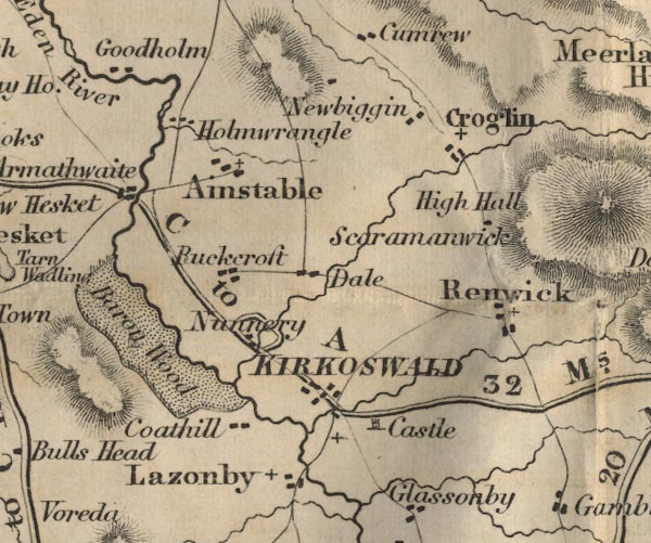 FD02NY54.jpg "KIRKOSWALD" item:- JandMN : 100.1 Image © see bottom of page |
|||
|
|
||||
| evidence:- | old map:- Garnett 1850s-60s H placename:- Kirkoswald |
|||
| source data:- | Map of the English Lakes, in Cumberland, Westmorland and
Lancashire, scale about 3.5 miles to 1 inch, published by John
Garnett, Windermere, Westmorland, 1850s-60s.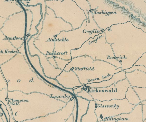 GAR2NY54.jpg "Kirkoswald" blocks, settlement item:- JandMN : 82.1 Image © see bottom of page |
|||
|
|
||||
| evidence:- | market notes:- item:- market |
|||
| source data:- | www.history.ac.uk/cmh/gaz/gazweb2.htmBowen, Emanuel &Kitchin, Thomas: 1760: New Map of the Counties of Cumberland and Westmoreland | |||
|
|
||||
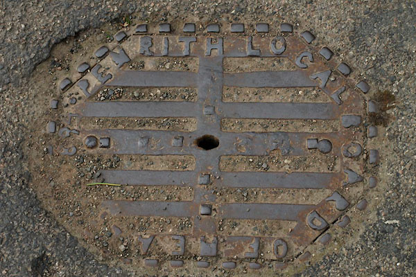
 Post Office maps Post Office maps |
||||
|
|
||||
| evidence:- | old print:- Calverley 1899 item:- fibula; Kirkoswald Fibula |
|||
| source data:- | Found in Kirkoswald, now in the British Museum:-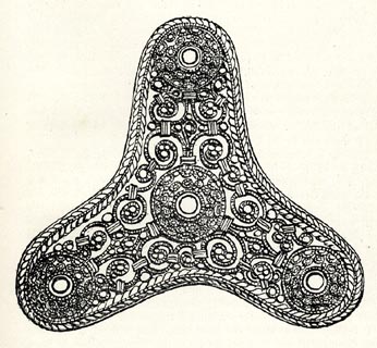 click to enlarge click to enlargeCV1158.jpg from Lysons. item:- JandMN : 190 Image © see bottom of page |
|||
|
|
||||
| text:- |
Horse and pony races, and other sports, on Easter Monday. 1829:- |
|||
| "[the sports commenced as usual by the catching of a cock with the mouth, which afforded
glorious fun to the Johnnies." There was wrestling, and "Many were the half-crowns
and shillings that exchanged pockets each fall.]" |
||||
| Fairfax-Blakeborough 1950 |
||||
|
|
||||
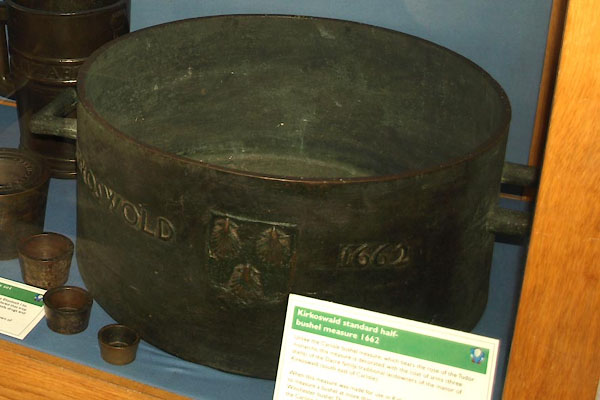 BZH18.jpg Half bushel standard measure:- "KIRKOSWOLD 1662" and a coat of arms. (taken 17.9.2013) |
||||
|
|
||||
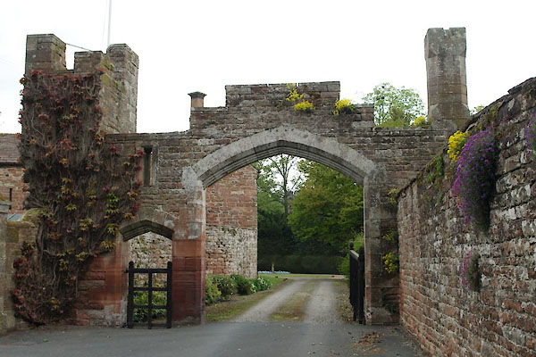
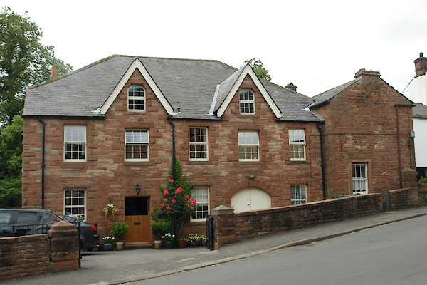
| places:- |
|
|||
|
||||
|
||||
|
||||
|
||||
|
||||
|
||||
|
||||
|
||||
|
||||
|
||||
|
||||
|
||||
|
||||
|
||||
|
||||
|
||||
|
||||
|
||||
|
||||
|
||||
|
||||
|
||||
|
||||
|
||||
|
||||
|
||||
|
||||
|
||||
|
||||
|
||||
|
||||
|
||||
|
||||
|
||||
|
||||
|
||||
|
||||
|
||||
|
||||
|
||||
|
||||
|
||||
|
||||
|
||||
|
||||
Lakes Guides menu.