 Old Cumbria Gazetteer
 |
 |
|
| chapel, Kirkoswald (4) | ||
| locality:- | Kirkoswald | |
| civil parish:- | Kirkoswald (formerly Cumberland) | |
| county:- | Cumbria | |
| locality type:- | methodist chapel | |
| locality type:- | chapel | |
| coordinates:- | NY55424139 | |
| 1Km square:- | NY5541 | |
| 10Km square:- | NY54 | |
|
|
||
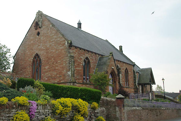 BUL36.jpg (taken 29.4.2011) 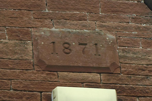 BUL37.jpg Plaque:- "1871" (taken 29.4.2011) |
||
|
|
||
| evidence:- | old map:- OS County Series (Cmd 40 6) |
|
| source data:- | Maps, County Series maps of Great Britain, scales 6 and 25
inches to 1 mile, published by the Ordnance Survey, Southampton,
Hampshire, from about 1863 to 1948. "Methodist Chapel (Wesleyan)" |
|
|
|
||
 Lakes Guides menu.