 |
 |
|
|
|
|
Townend |
| locality:- |
Kirkoswald |
| civil parish:- |
Kirkoswald (formerly Cumberland) |
| county:- |
Cumbria |
| locality type:- |
locality |
| locality type:- |
buildings |
| coordinates:- |
NY55304157 (etc) |
| 1Km square:- |
NY5541 |
| 10Km square:- |
NY54 |
|
|
| evidence:- |
old map:- OS County Series (Cmd 40 6)
placename:- Townend
|
| source data:- |
Maps, County Series maps of Great Britain, scales 6 and 25
inches to 1 mile, published by the Ordnance Survey, Southampton,
Hampshire, from about 1863 to 1948.
|
|
|
| places:- |
 |
NY40710217 barn, Townend: Steven Campbell (Lakes) |
|
|
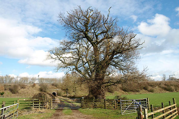 |
NY53742631 Rebel Tree (Clifton) |
|
|
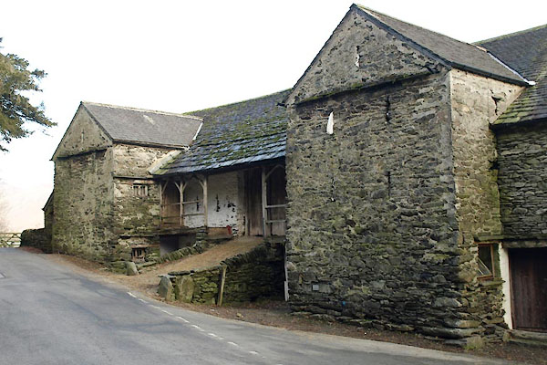 |
NY40710216 barn, Townend (Lakes) L |
|

 Lakes Guides menu.