 Old Cumbria Gazetteer
 |
 |
|
| Kirkoswald CofE School, Kirkoswald | ||
| Kirkoswald CofE School | ||
| locality:- | Kirkoswald | |
| civil parish:- | Kirkoswald (formerly Cumberland) | |
| county:- | Cumbria | |
| locality type:- | school | |
| coordinates:- | NY55494134 | |
| 1Km square:- | NY5541 | |
| 10Km square:- | NY54 | |
| references:- | OS County Series |
|
|
|
||
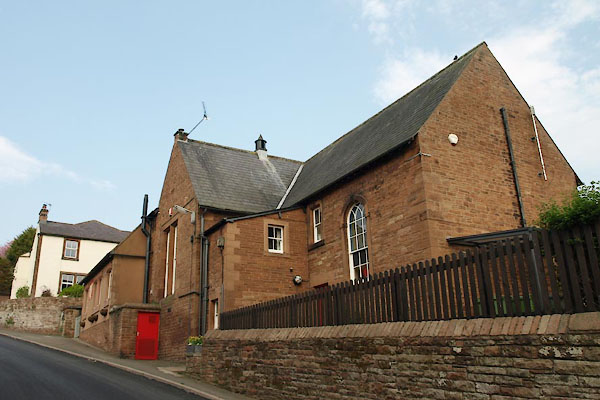 BUK13.jpg (taken 23.4.2011) 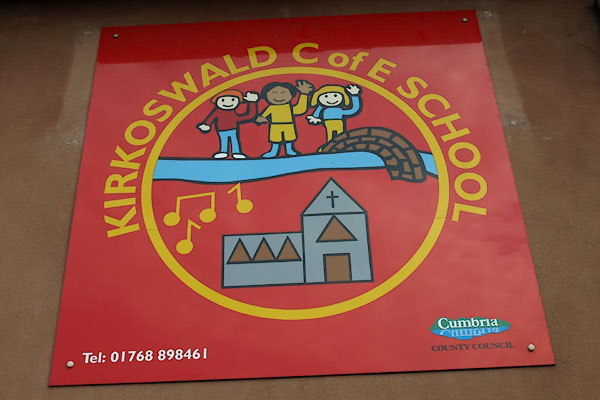 BUK14.jpg School sign. (taken 23.4.2011) |
||
|
|
||
| evidence:- | old map:- OS County Series (Cmd 40 6) placename:- National School |
|
| source data:- | Maps, County Series maps of Great Britain, scales 6 and 25
inches to 1 mile, published by the Ordnance Survey, Southampton,
Hampshire, from about 1863 to 1948. "National School" |
|
|
|
||
 Lakes Guides menu.