


 road, Carlisle to Workington partly
  road, Carlisle to Whitehaven
 road, Carlisle to Wigton partly
  road, Carlisle to Allonby partly
  road, Keswick to Carlisle
 road, Egremont to Carlisle
OG96CtoC.jpg
item:- JandMN : 22
Image © see bottom of page
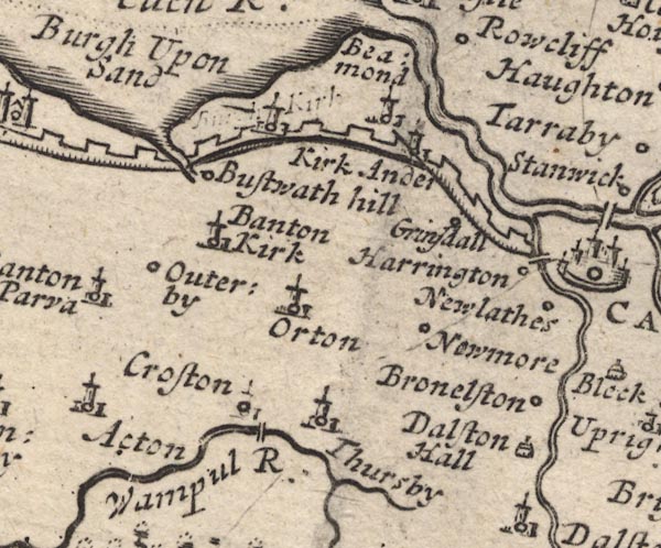
MD12NY35.jpg
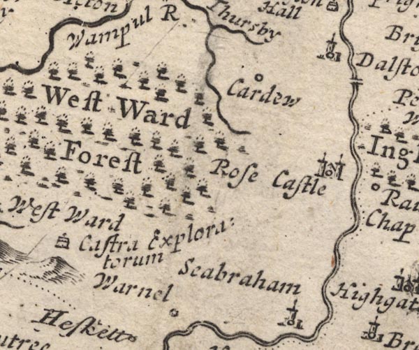
MD12NY34.jpg
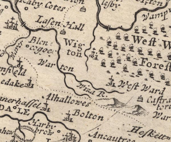
MD12NY24.jpg
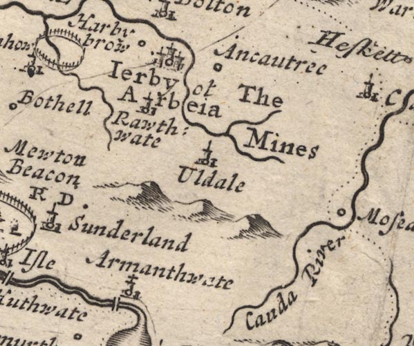
MD12NY23.jpg
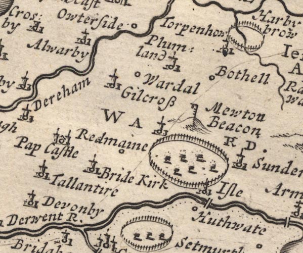
MD12NY13.jpg
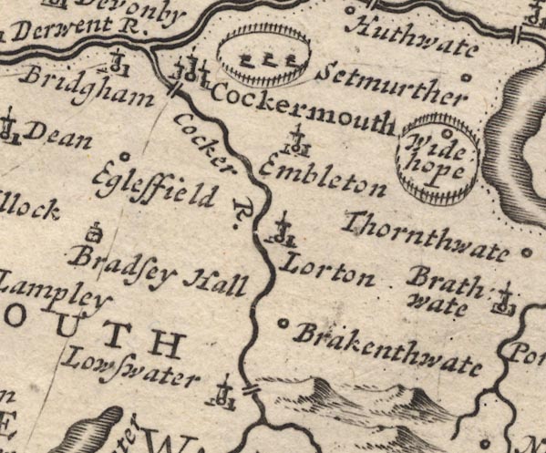
MD12NY12.jpg
Single line.
item:- JandMN : 90
Image © see bottom of page

B261CtoC.jpg
The road from Egremont to Carlisle. Places labelled are:-
... 14, Cockermouth, a Stone Br. over Darwent Flu / 15 .. 20 / 21, Bowland / Overgate on right / Strickland Guard on right / 22, Courtland Guard on left, Lawood Nook, an Inn / 23, a Watermill, a Stone Bridge / Adderskip on left / Whitehall on left / 24, Thurlmillgate on left / 25 ... 26 / Bolton, Eln Flu / 27, Croshill / Gromhil / 28 / 29, Old Carlisle demolisht, Somer on right / 30 ... 31 / Roseley Fell on right / 32, Warside on left, a Stone br. over wample Flu / Croston on left / How Hill on left / 33 / Turkin Hill on left / Thuresby vulgo Fearsby / 34 / Nealople on left / 35 ... 33 (sic =38) / CARLISLE, entering by Irish Gate, and English Gate to right
item:- Dove Cottage : Lowther.36
Image © see bottom of page
placename:-
 click to enlarge
BD10.jpg
""
double line
item:- JandMN : 115
Image © see bottom of page
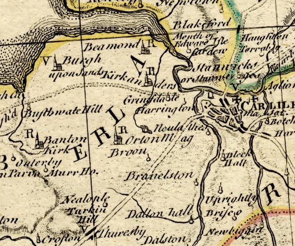
BO18NY35.jpg
double line, dotted and solid
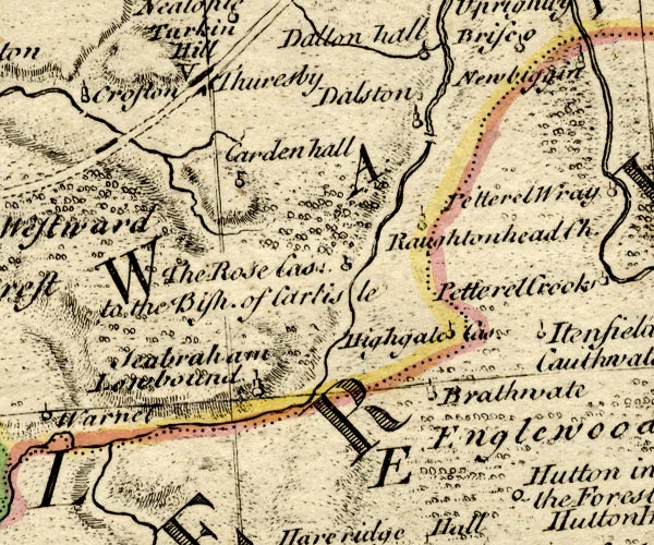
BO18NY34.jpg
double line, dotted and solid
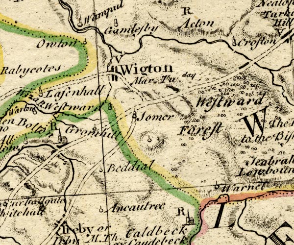
BO18NY24.jpg
two routes, both double line, dotted
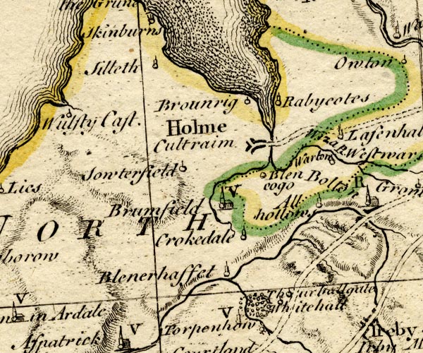
BO18NY14.jpg
double line, dotted
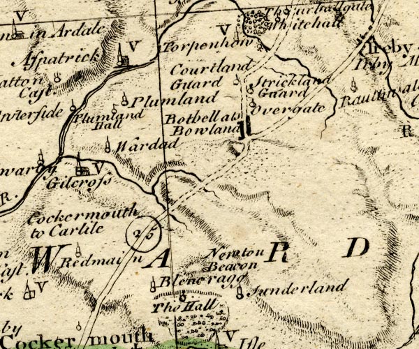
BO18NY13.jpg
"Cockermouth to Carlile 25"
double line, solid and dotted, road distance, two routes nr Wigton
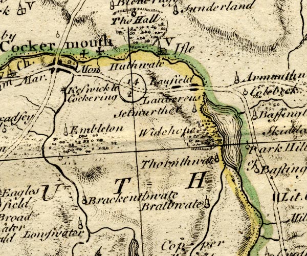
BO18NY12.jpg
double line, solid
item:- Armitt Library : 2008.14.10
Image © see bottom of page

K084CtoC.jpg
item:- Hampshire Museums : FA1999.138.84
Image © see bottom of page
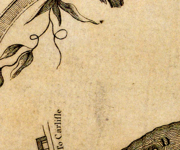
D41130U.jpg
"To Carlisle"
road out of town
item:- Carlisle Library : Map 2
Image © Carlisle Library
double line, narrower, solid or dotted with a dot and number at 1 mile intervals; road
distances from Carlisle
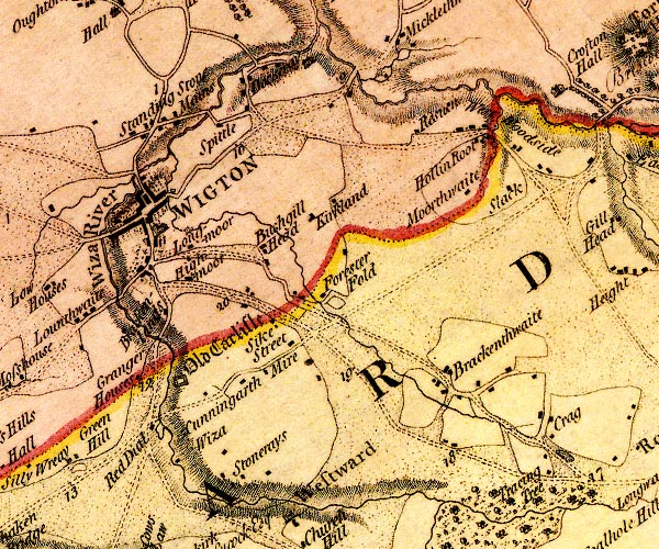
D4NY24NE.jpg
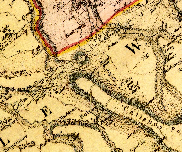
D4NY24SW.jpg
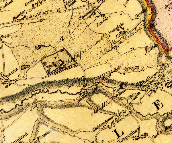
D4NY14SE.jpg
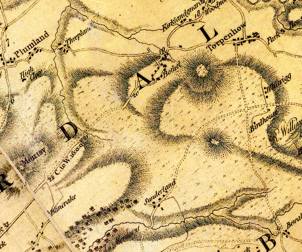
D4NY13NE.jpg
"C. to W. 16:0:0"
miles.furlongs.poles; Cockermouth to Wigton
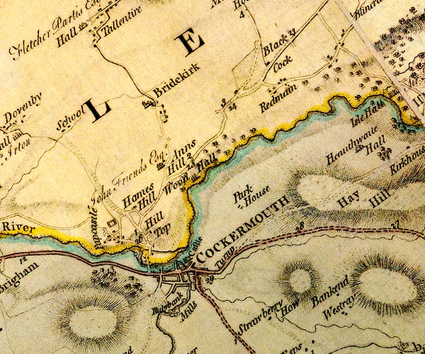
D4NY13SW.jpg
item:- Carlisle Library : Map 2
Images © Carlisle Library
 click to enlarge
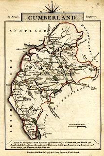
CY47.jpg
double line, with road distances from Carlisle
item:- JandMN : 419
Image © see bottom of page
 goto source
 click to enlarge
C38267.jpg
page 267-268 "At Carlisle, on l. a T.R. to Cockermouth."
 goto source
 click to enlarge
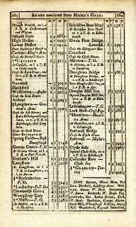
C38283.jpg
page 283-284 "At Carlisle, on l. a T.R. to Cockermouth."
 goto source
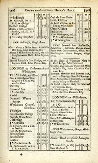 click to enlarge
C38317.jpg
page 317-318 "At Cockermouth, on r. a T.R. to Carlisle."
twice
 goto source
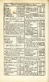 click to enlarge
C38319.jpg
page 319-320 "Near Uldale, on l. a T.R. to Cockermouth"
"At Uldale, on r. a T.R. to Penrith and Carlisle; on l. [T.R.] to Cockermouth"
"Between 3 and 4 Miles from Hutton [going NW], on l. a T.R. to Cockermouth."
 goto source
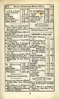 click to enlarge
C38321.jpg
page 321-322 "[Cross the Caldew River; and a Mile beyond, on] r. a T.R. to Carlisle; on l. [T.R.] to Cockermouth"
item:- JandMN : 228.1
Image © see bottom of page
 goto source
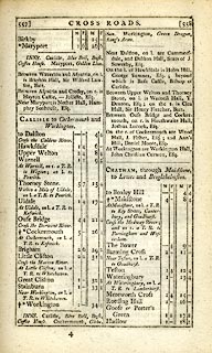 click to enlarge
C38557.jpg
page 557-558 "CARLISLE to Cockermouth and Workington."
item:- JandMN : 228.2
Image © see bottom of page
 click to enlarge
GRA1Cd.jpg
double line, light dark dotted; unfenced road AND double line, light dark solid; road
item:- Hampshire Museums : FA2000.62.2
Image © see bottom of page
 click to enlarge
Lw18.jpg
dotted line; 'Cross Roads', and bold line; 'Principal Travelling Roads'
item:- private collection : 18.18
Image © see bottom of page
 click to enlarge
COP3.jpg
double line; road
item:- JandMN : 86
Image © see bottom of page
 click to enlarge
WL13.jpg
double line, light bold; 'Turnpike Road'
item:- Dove Cottage : 2009.81.10
Image © see bottom of page
 click to enlarge
HA14.jpg
single line, solid; minor road; Cockermouth, Armathwaite, Uldale, Up Welton, Hawksdale, Dalston, Carlisle
item:- JandMN : 91
Image © see bottom of page
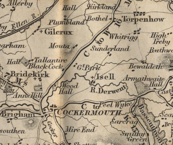
FD02NY13.jpg
"C to W 16 Ms."
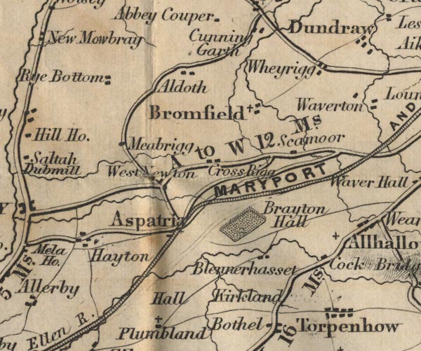
FD02NY14.jpg
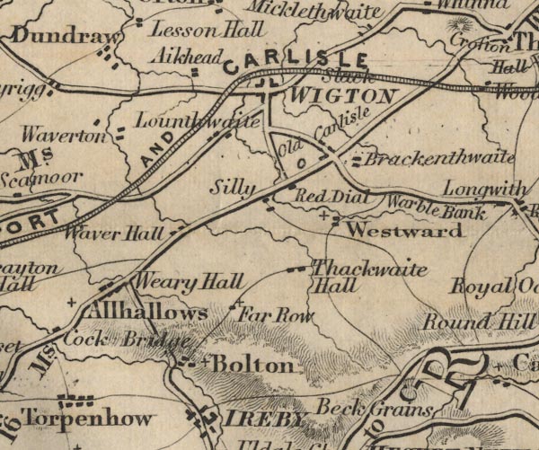
FD02NY24.jpg
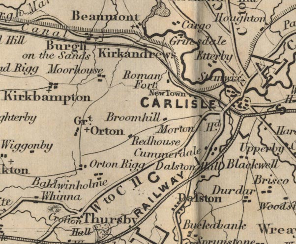
FD02NY35.jpg
"W to C 11"
item:- JandMN : 100.1
Image © see bottom of page
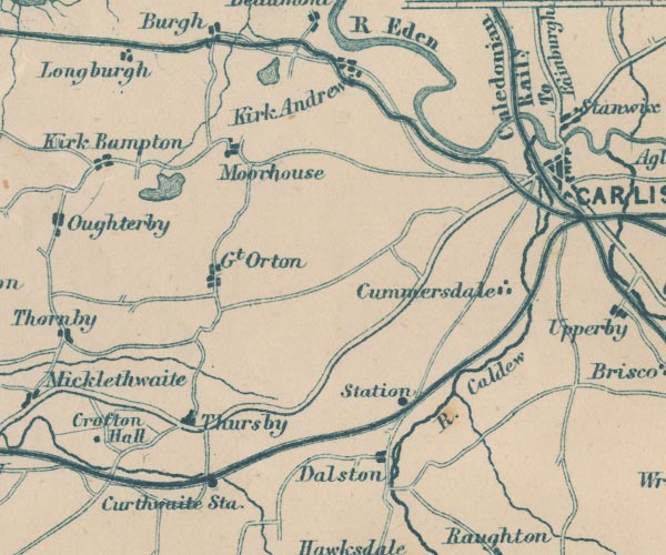
GAR2NY35.jpg
double line, bold light, major road
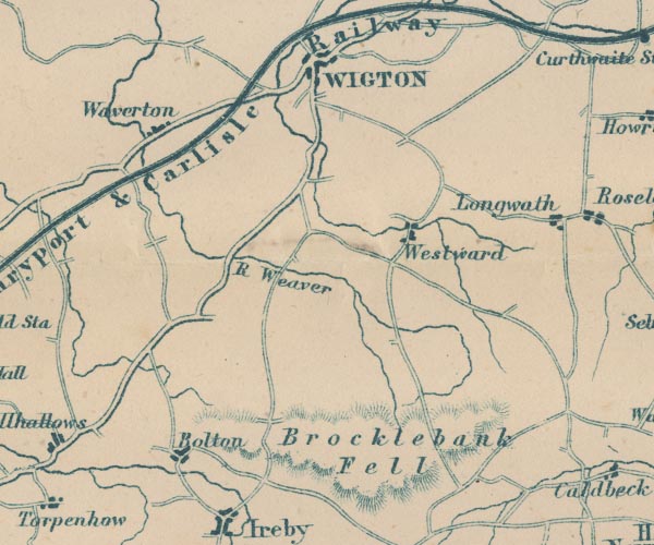
GAR2NY24.jpg
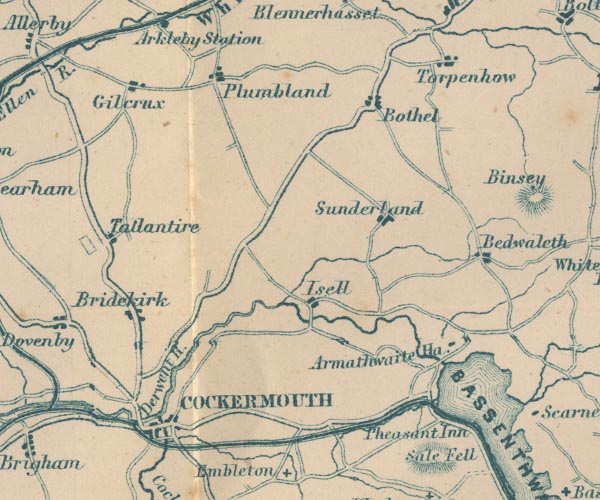
GAR2NY13.jpg
item:- JandMN : 82.1
Image © see bottom of page
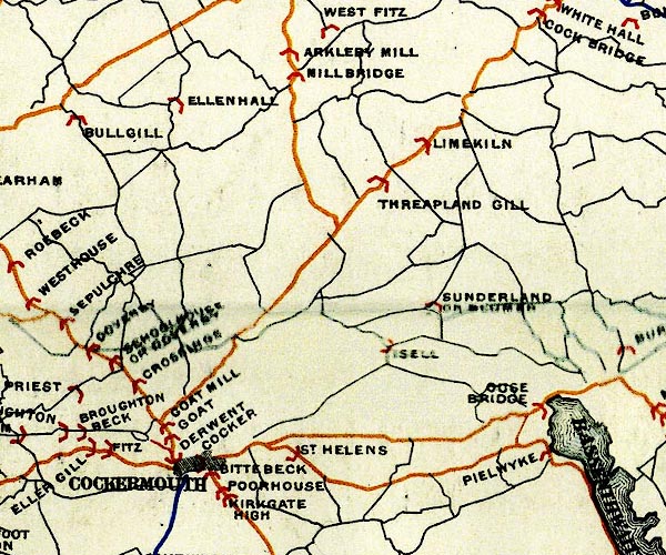
BEL9NY13.jpg
BEL9NY24.jpg
BEL9NY35.jpg
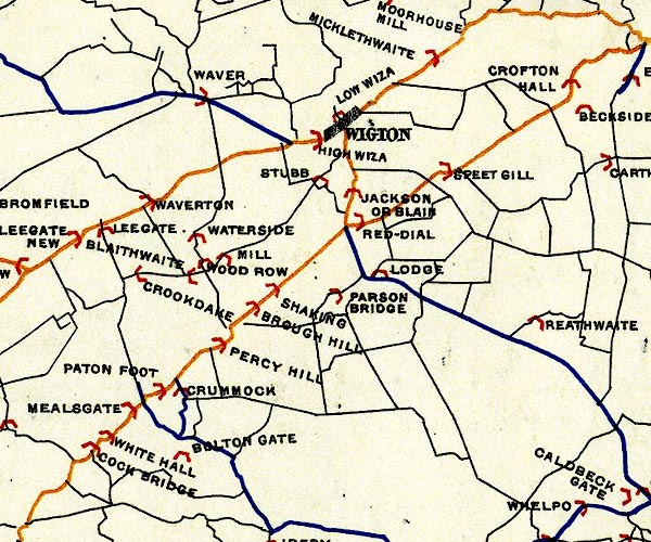
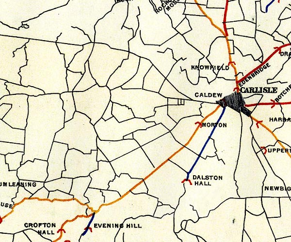
orange - disturnpiked 'main road' under section 13 of the Highways Act 1878 since 1 September 1883
Road map of Cumberland showing County Bridges
item:- Carlisle Library : Map 38
Images © Carlisle Library
 click to enlarge
CTC2A8.jpg
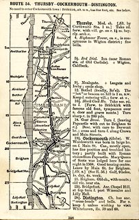
Strip road map, route 54, Thursby Cockermouth Distington, scale roughly 5 miles to 1 inch.
Together with an itinerary and gradient diagram.
item:- JandMN : 491.108
Image © see bottom of page
 click to enlarge
CTC2B2.jpg
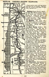
Strip road map, route 58, Carlisle Dalston Ullswater, scale roughly 5 miles to 1 inch.
Together with an itinerary and gradient diagram.
item:- JandMN : 491.112
Image © see bottom of page
 Act of Parliament
 Cockermouth
 Bothel
 Mealsgate, Boltons
 Red Dial, Westward
 Thursby
 Carlisle
 Cockermouth
 Ouse Bridge, Blindcrake
 Uldale, Ireby
 Goose Green, Sebergham
 Dalston
 Carlisle
 |
NY12913343 milestone, Blindcrake (Blindcrake) |
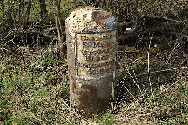 |
NY14903579 milestone, Blindcrake (2) (Blindcrake) L |
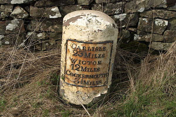 |
NY13863456 milestone, Blindcrake (3) (Blindcrake) |
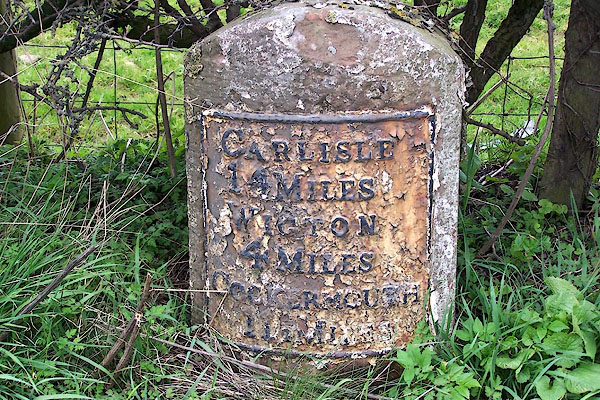 |
NY22514324 milestone, Boltons (Boltons) L |
 |
NY17203799 milestone, Bothel and Threapland (Bothel and Threapland) |
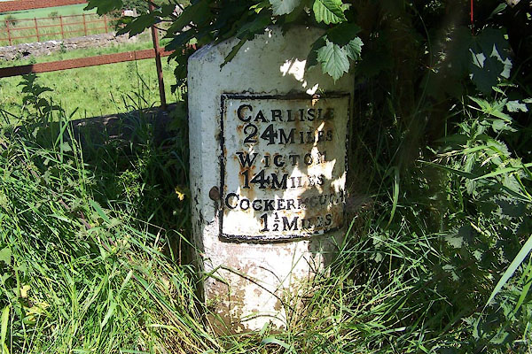 |
NY11913226 milestone, Bridekirk (Bridekirk) L |
 |
NY38725540 milestone, Carlisle (9) (Carlisle) |
 |
NY37695424 milestone, Carlisle (11) (Carlisle) L |
 |
NY11573103 milestone, Cockermouth (Cockermouth) gone |
 |
NY36655305 milestone, Cummersdale (Cummersdale) L |
 |
NY35365206 milestone, Dalston (Dalston) |
 |
NY16003702 milestone, Plumbland (Plumbland) |
 |
NY29855097 milestone, Thursby (2) (Thursby) |
 |
NY31415092 milestone, Thursby (3) (Thursby) |
 |
NY31234982 milestone, Thursby (4) (Thursby) |
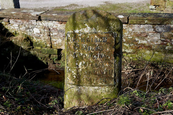 |
NY34075107 milestone, Thursby (5) (Thursby) L |
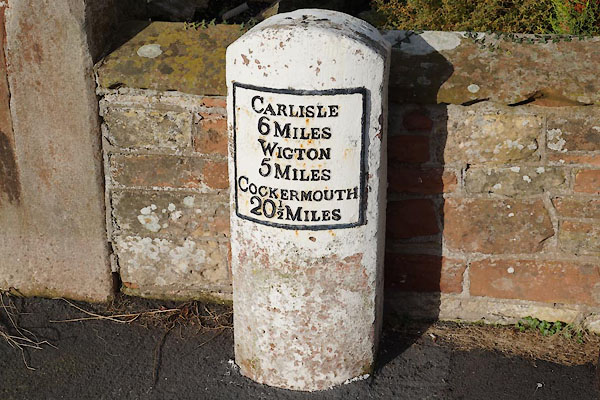 |
NY32705026 milestone, Thursby (6) (Thursby) L |
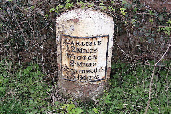 |
NY24854535 milestone, Westward (Westward) |
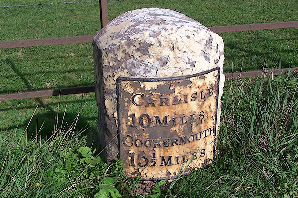 |
NY27504712 milestone, Westward (2) (Westward) L |
 |
NY28904793 milestone, Westward (3) (Westward) |
 |
NY30294876 milestone, Westward (4) (Westward) L |
 |
NY26164625 milestone, Westward (7) (Westward) L |
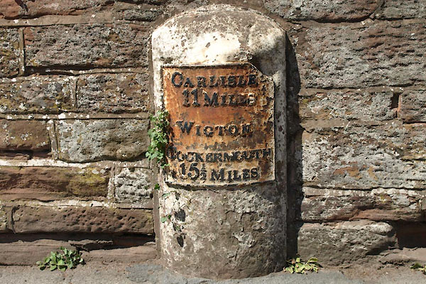 |
NY25884864 milestone, Wigton (Wigton) L |
 |
NY23864790 milestone, Woodside (2) (Woodside) |
 |
NY25674664 milestone, Woodside (3) (Woodside) |
 |
NY38345520 toll gate, Carlisle (2) (Carlisle) |
 |
NY19774093 toll gate, Cockbridge (Blennerhasset and Torpenhow) |
 |
NY30894913 toll gate, West Woodside (Westward) |
 |
NY17014381 Heathfield Turnpike (Bromfield) |
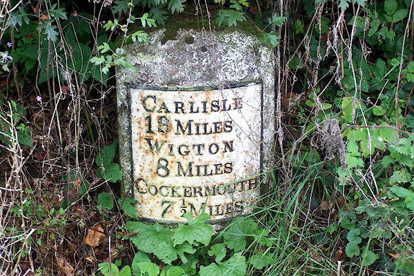 |
NY18153902 milestone, Bothel and Threapland (2) (Bothel and Threapland) L |
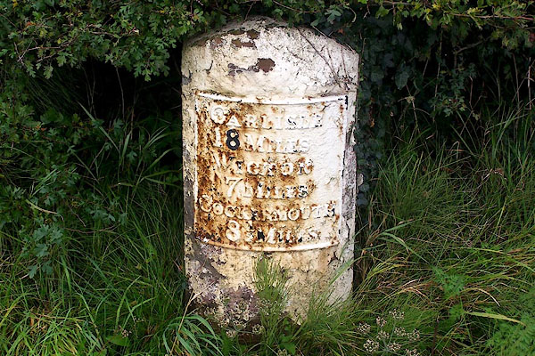 |
NY19064009 milestone, Blennerhasset and Torpenhow (Blennerhasset and Torpenhow) L |
 |
NY28445047 milestone, Thursby (7) (Thursby) L |
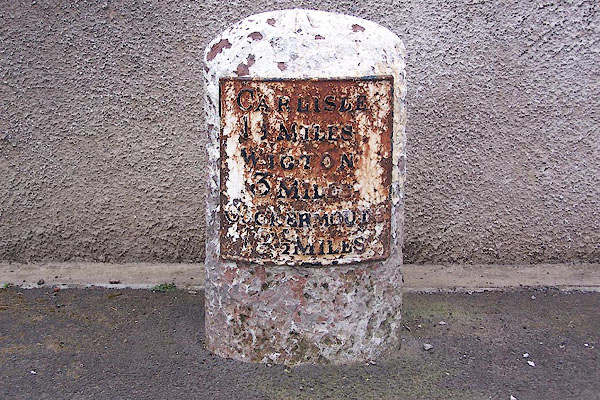 |
NY23664425 milestone, Boltons (2) (Boltons) L |
 |
NY21234228 milestone, Boltons (3) (Boltons) L |
 |
NY20074120 milestone, Boltons (4) (Boltons) L |
