 |
 |
   |
|
|
|
Carlisle to Allonby |
|
Allonby to Carlisle |
| locality:- |
Allonby |
| civil parish:- |
Allonby (formerly Cumberland) |
| county:- |
Cumbria |
| locality type:- |
route |
| locality:- |
Carlisle |
| civil parish:- |
Carlisle (formerly Cumberland) |
| county:- |
Cumbria |
| locality type:- |
route |
|
|
| route parts:- |
 Carlisle to Cockermouth, as far as Thursby Carlisle to Cockermouth, as far as Thursby
 Thursby to Wigton Thursby to Wigton
 Wigton to Aspatria, as far as Sandraw Wigton to Aspatria, as far as Sandraw
 Sandraw to Allonby Sandraw to Allonby |
|
|
| evidence:- |
old map:- Donald 1774 (Cmd)
|
| source data:- |
Map, hand coloured engraving, 3x2 sheets, The County of Cumberland, scale about 1
inch to 1 mile, by Thomas Donald, engraved and published by Joseph Hodskinson, 29
Arundel Street, Strand, London, 1774.
double line, narrower, solid or dotted with a dot and number at 1 mile intervals;
road
distances from Carlisle
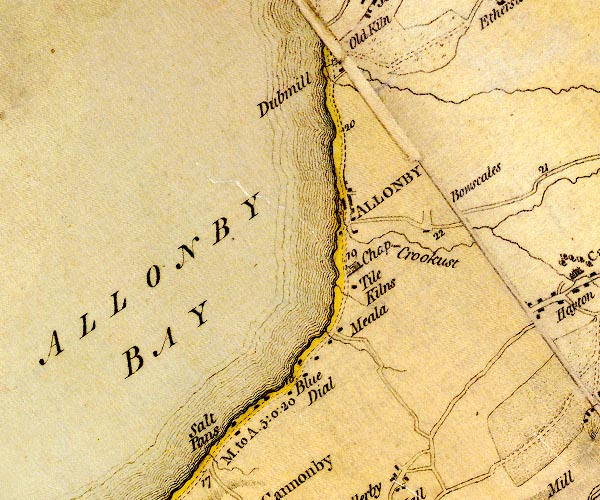
D4NY04SE.jpg
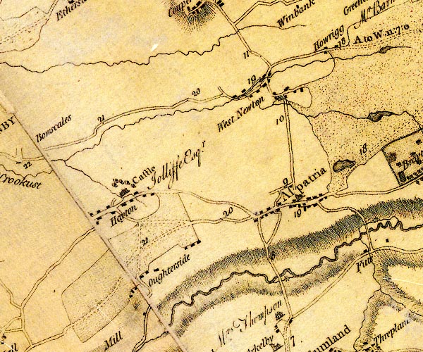
D4NY14SW.jpg
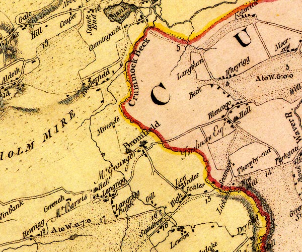
D4NY14NE.jpg
"A. to W. 11:7:0"
miles.furlongs.poles; Allonby to Wigton
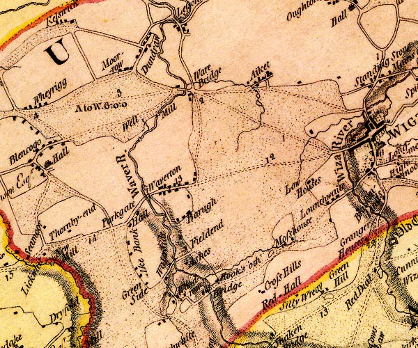
D4NY24NW.jpg
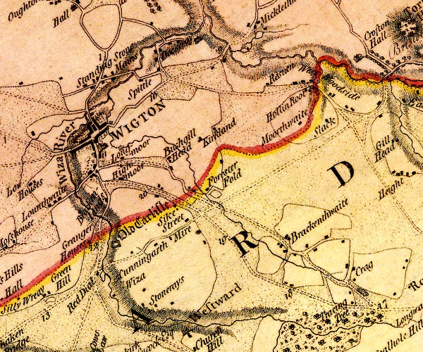
D4NY24NE.jpg
item:- Carlisle Library : Map 2
Images © Carlisle Library |
|
|
| evidence:- |
road book:- Cary 1798 (2nd edn 1802)
|
| source data:- |
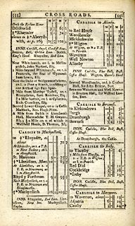
Road book, itineraries, Cary's New Itinerary, by John Cary, 181
Strand, London, 2nd edn 1802.
 goto source goto source
 click to enlarge click to enlarge
C38555.jpg
page 555-556 "CARLISLE to Allonby"
item:- JandMN : 228.2
Image © see bottom of page
|
|
|


 Carlisle to Cockermouth, as far as Thursby
 Thursby to Wigton
 Wigton to Aspatria, as far as Sandraw
 Sandraw to Allonby


 goto source
 click to enlarge