button to main menu  Old Cumbria Gazetteer
Mealsgate, Boltons
Mealsgate
civil parish:-   Boltons (formerly Cumberland)
county:-   Cumbria
locality type:-   locality
locality type:-   buildings
coordinates:-   NY20914210 (etc) 
1Km square:-   NY2042
10Km square:-   NY24

evidence:-   old map:- OS County Series (Cmd 36 8) 
placename:-  Mealsgate
source data:-   Maps, County Series maps of Great Britain, scales 6 and 25 inches to 1 mile, published by the Ordnance Survey, Southampton, Hampshire, from about 1863 to 1948.

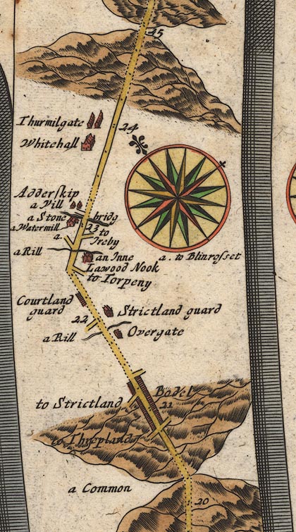
evidence:-   old map:- Ogilby 1675 (plate 96) 
placename:-  Thurmilgate
source data:-   Road strip map, hand coloured engraving, the Road from Kendal to Cockermouth, and the Road from Egremond to Carlisle, scale about 1 inch to 1 mile, by John Ogilby, London, 1675.
image
OG96Bm20.jpg
In mile 24, Cumberland.  "Thurmilgate"
houses off the left of the road. 
item:-  JandMN : 22
Image © see bottom of page

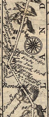
evidence:-   old map:- Bowen 1720 (plate 261) 
placename:-  Thurlmillgate
source data:-   Road strip map, uncoloured engraving, pl.261, the end of the road from Kendal to Cockermouth and the road from Egremont to Carlisle, scale about 2 miles to 1 inch, published by Emanuel Bowen, St Katherines, London, 1720.
image
B261m20.jpg
At mile 24 from Egremont. 
item:-  Dove Cottage : Lowther.36
Image © see bottom of page

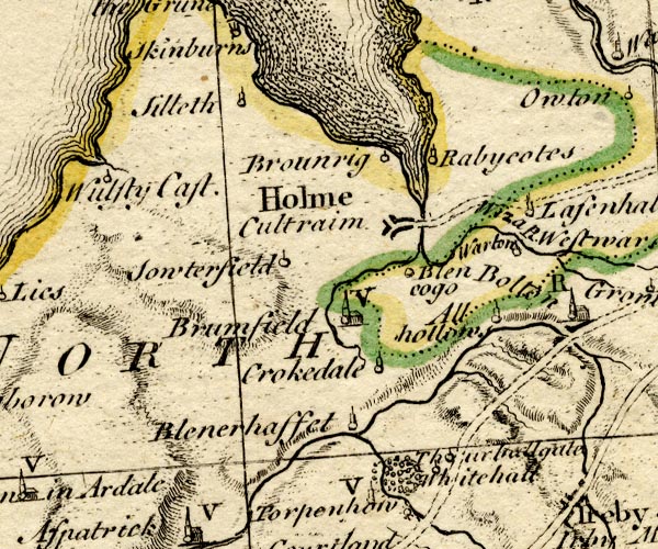
evidence:-   probably old map:- Bowen and Kitchin 1760
placename:-  Thurhallgate
source data:-   Map, hand coloured engraving, A New Map of the Counties of Cumberland and Westmoreland Divided into their Respective Wards, scale about 4 miles to 1 inch, by Emanuel Bowen and Thomas Kitchin et al, published by T Bowles, Robert Sayer, and John Bowles, London, 1760.
image
BO18NY14.jpg
"Thur[ha]llgate"
circle and line 
item:-  Armitt Library : 2008.14.10
Image © see bottom of page

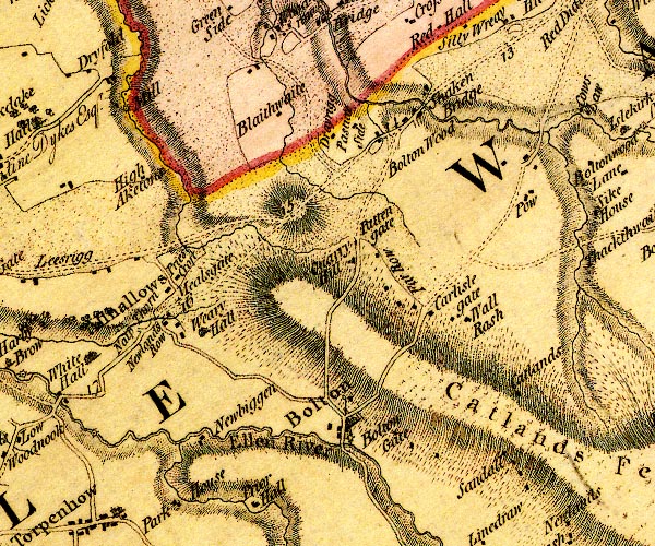
evidence:-   old map:- Donald 1774 (Cmd) 
placename:-  Mealsgate
source data:-   Map, hand coloured engraving, 3x2 sheets, The County of Cumberland, scale about 1 inch to 1 mile, by Thomas Donald, engraved and published by Joseph Hodskinson, 29 Arundel Street, Strand, London, 1774.
image
D4NY24SW.jpg
"Mealsgate"
block or blocks, labelled in lowercase; a hamlet or just a house 
item:-  Carlisle Library : Map 2
Image © Carlisle Library
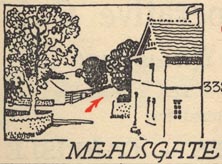
evidence:-   old map:- Burrow 1920s
source data:-   Road book, On the Road, Dunlop Pictorial Road Plans, volume V, strip maps with parts in Westmorland, Cumberland etc, irregular scale about 1.5 miles to 1 inch, by E J Burrow and Co, Cheltenham, Gloucestershire, 1920s.
image
EJB3Vg51.jpg
item:-  private collection : 17
Image © see bottom of page
places:-  
NY20374184 All Saints Church (Allhallows) L
NY21004215 Appletree Inn (Boltons) gone
NY21204229 Croft House (Boltons)
NY20804244 George Moore Memorial Hall (Boltons)
NY20804242 Knapethorn (Allhallows)
NY20824250 Mealsgate Station (Boltons)
NY20974209 mine, Mealsgate (Boltons) gone
NY21094193 Newlands Row Farm (Boltons)
NY20894203 Old Post Office, The (Boltons)
NY20854208 Old Smithy House, The (Boltons)
NY21094225 police house, Mealsgate (Boltons)
NY20584261 Priestcroft Colliery (Allhallows)
NY20774263 Priestcroft Cottages (Allhallows)
NY20974257 Priestcroft (Allhallows)
NY20804250 railway sidings, Mealsgate (Boltons)
NY20184159 Whitehall (Allhallows) L out of sight
NY202416 icehouse, Whitehall (Allhallows)
NY20904207 Mealsgate Bridge (Boltons)
NY21234228 milestone, Boltons (3) (Boltons) L
button to lakes menu  Lakes Guides menu.