


placename:- Bothel
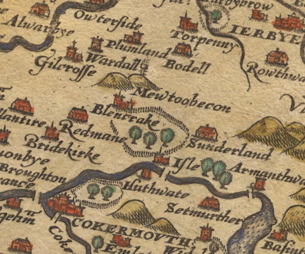
placename:- Bodell
Sax9NY13.jpg
Building, symbol for a hamlet, which may or may not have a nucleus. "Bodell"
item:- private collection : 2
Image © see bottom of page
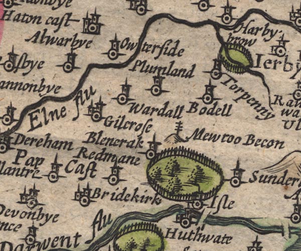
placename:- Bodell
SP11NY13.jpg
"Bodell"
circle, tower
item:- private collection : 16
Image © see bottom of page
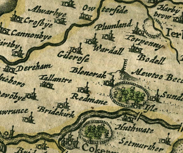
placename:- Bodel
JAN3NY13.jpg
"Bodel"
Buildings and tower.
item:- JandMN : 88
Image © see bottom of page
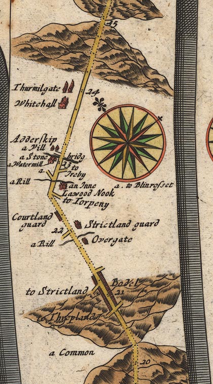
placename:- Bodel
OG96Bm20.jpg
In mile 21, Cumberland. "Bodel"
houses each side of the road.
item:- JandMN : 22
Image © see bottom of page
placename:- Bodell
 click to enlarge
SEL9.jpg
"Bodell"
circle, italic lowercase text; settlement or house
item:- Dove Cottage : 2007.38.89
Image © see bottom of page
placename:- Bothell
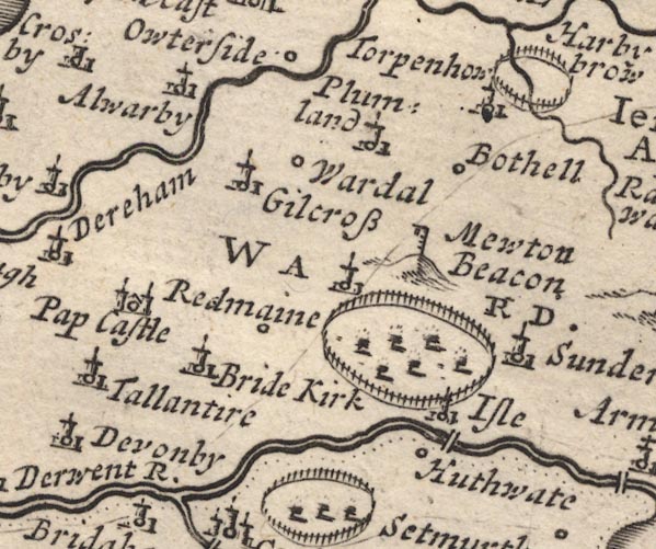
MD12NY13.jpg
"Bothell"
Circle.
item:- JandMN : 90
Image © see bottom of page
placename:- Bowland
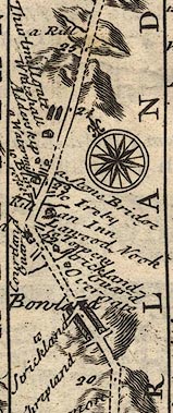
B261m20.jpg
At mile 21 from Egremont.
item:- Dove Cottage : Lowther.36
Image © see bottom of page
placename:- Bodel
 click to enlarge
BD10.jpg
"Bodel"
circle, italic lowercase text; village, hamlet or locality
item:- JandMN : 115
Image © see bottom of page
placename:- Bothell
placename:- Bowland
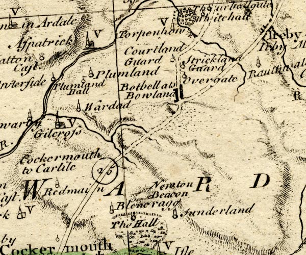
BO18NY13.jpg
"Bothell als Bowland"
blocks, on road
item:- Armitt Library : 2008.14.10
Image © see bottom of page
placename:- Bothel
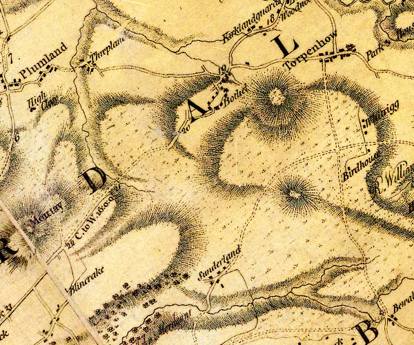
D4NY13NE.jpg
"Bothel"
block or blocks, labelled in lowercase; a hamlet or just a house
item:- Carlisle Library : Map 2
Image © Carlisle Library
placename:- Bothall
 click to enlarge
COP3.jpg
"Bothall"
circle; village or hamlet
item:- JandMN : 86
Image © see bottom of page
placename:- Bothel
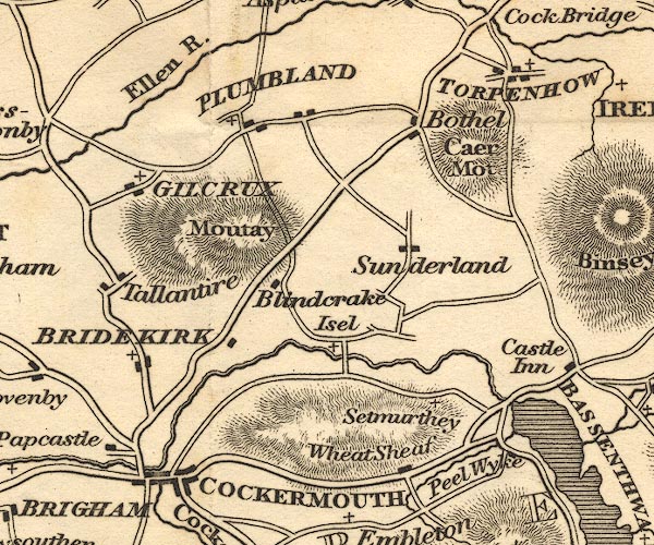
OT02NY13.jpg
item:- JandMN : 48.1
Image © see bottom of page
placename:- Bothell
 click to enlarge
HA14.jpg
"Bothell"
circle, italic lowercase text; settlement
item:- JandMN : 91
Image © see bottom of page
item:- geology
 goto source
Page 161:- "A superincumbent bed of limestone, by some called the mountain, by others the upper transition limestone, mantles round these mountains, in a position unconformable to the strata of the slaty and other rocks upon which it reposes. It bassets out near ... Papcastle, Bothel, Ireby, ..."
placename:- Bothel
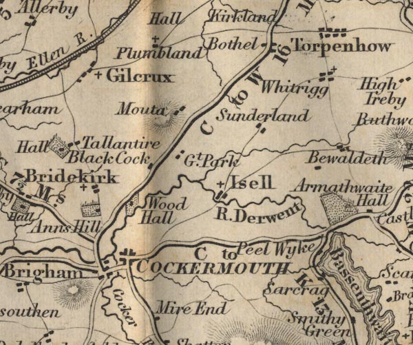
FD02NY13.jpg
"Bothel"
item:- JandMN : 100.1
Image © see bottom of page
placename:- Bothel
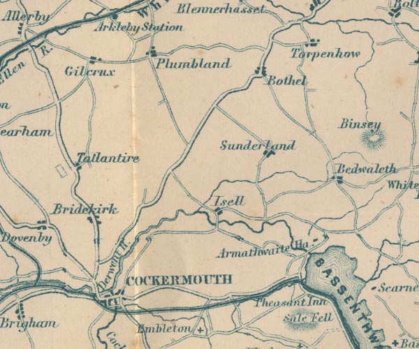
GAR2NY13.jpg
"Bothel"
blocks, settlement
item:- JandMN : 82.1
Image © see bottom of page
placename:- Bothel
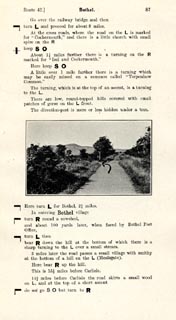 click to enlarge
JS5087.jpg
item:- private collection : 268.12
Image © see bottom of page
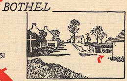
EJB3Vg49.jpg
item:- private collection : 17
Image © see bottom of page
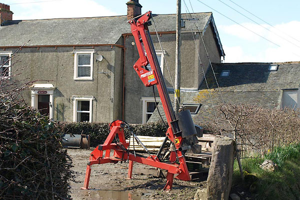
BSL18.jpg Fence post driver, in a farm yard.
(taken 4.4.2010)
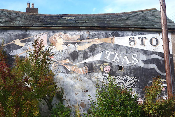 |
NY18033868 advertisement, Bothel (Bothel and Threapland) |
 |
NY18243832 Billy Bridge (Bothel and Threapland) |
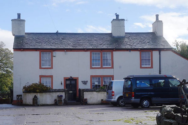 |
NY18243919 Bothel Hall (Bothel and Threapland) L |
 |
NY17603905 Bothel Quarry (Bothel and Threaplan) |
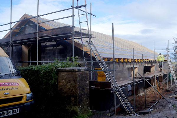 |
NY18103910 Bothel Village Hall (Bothel and Threapland) |
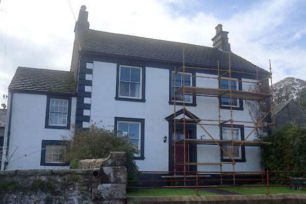 |
NY18013870 Brisco House (Bothel and Threapland) L |
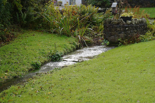 |
NY18113874 Broad Well (Bothel and Threapland) |
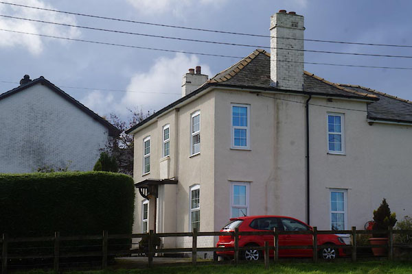 |
NY18063875 Bryn Awel (Bothel and Threapland) |
 |
NY18433920 Carling Stone (Bothel and Threapland) |
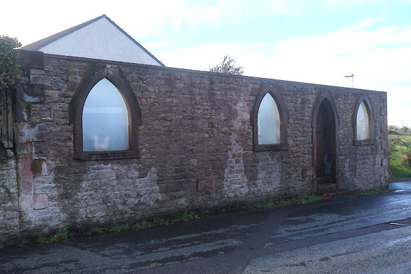 |
NY18173896 chapel, Bothel (Bothel and Threapland) |
 |
NY18223884 chapel, Bothel (2) (Bothel and Threapland) gone? |
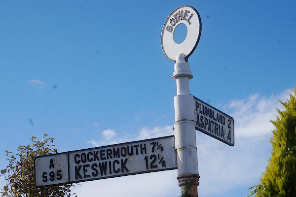 |
NY18183920 fingerpost, Bothel (Bothel and Threapland) |
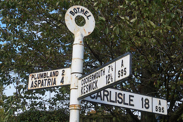 |
NY18113908 fingerpost, Bothel (2) (Bothel and Threapland) |
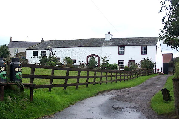 |
NY18143892 Gate House (Bothel and Threapland) |
 |
NY18303945 Gillands Quarry (Bothel and Threapland) |
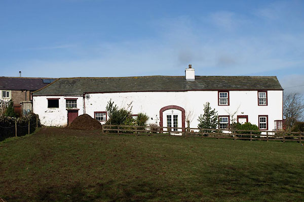 |
NY18143892 High Barn House (Bothel and Threapland) |
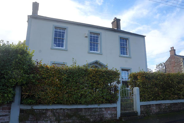 |
NY17973869 High House (Bothel and Threapland) L |
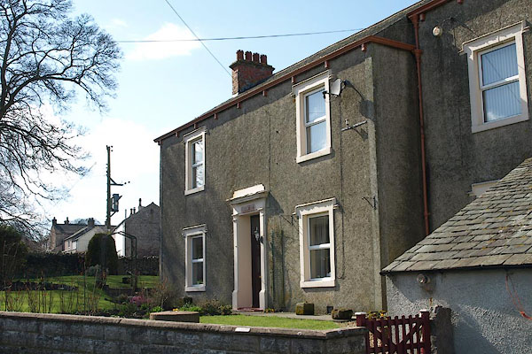 |
NY18303899 house, Bothel (Bothel and Threapland) |
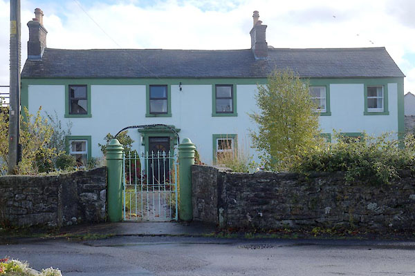 |
NY18233891 house, Bothel (2) (Bothel and Threapland) |
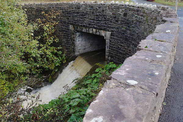 |
NY18353925 Limekiln Bridge (Bothel and Threapland) |
 |
NY17343913 limekiln, Bothel (Bothel and Threapland) |
 |
NY17313874 limekiln, Bothel (6) (Bothel and Threapland) |
 |
NY17743856 limekiln, Bothel (7) (Bothel and Threapland) |
 |
NY18323928 limekiln, Bothel (8) (Bothel and Threapland) |
 |
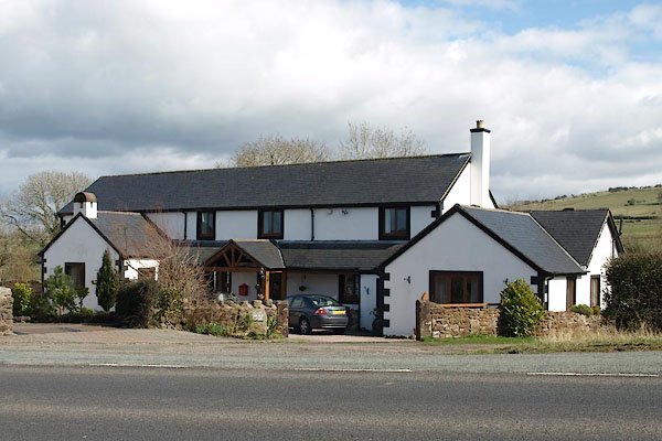
NY182388 moat, Bothel (Bothel and Threapland) possibly |
 |
NY18373898 Old School, The (Bothel and Threapland) |
 |
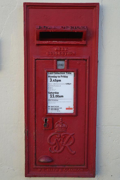
NY18063862 pinfold, Bothel (Bothel and Threapland) gone |
 |
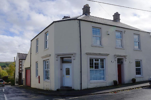
NY18173885 post box, Bothel (Bothel and Threapland) |
 |
NY18163885 post office, Bothel (Bothel and Threapland) |
 |
NY17863923 Quarry House (Bothel and Threapland) |
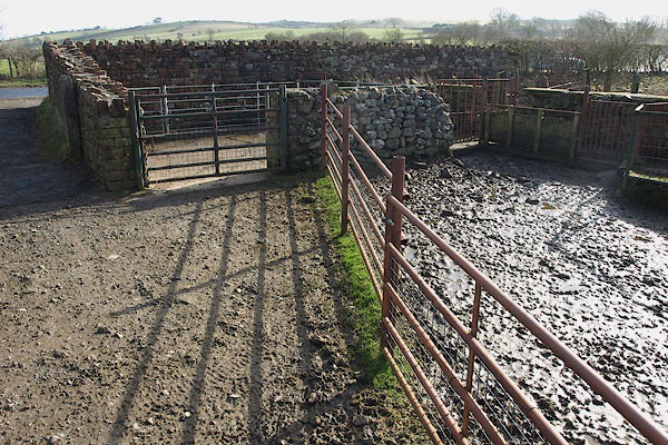 |
NY18243830 sheepfold, Bothel (Bothel and Threapland) |
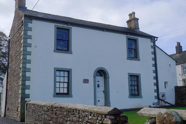 |
NY17983873 Skiddaw View (Bothel and Threapland) L |
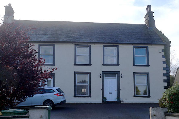 |
NY18033861 Swan House (Bothel and Threapland) L |
 |
NY1838 Jockey Stone, The (Bothel and Threapland) |
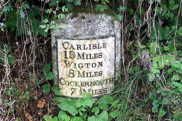 |
NY18153902 milestone, Bothel and Threapland (2) (Bothel and Threapland) L |
