 Old Cumbria Gazetteer
 |
 |
|
| Broad Well, Bothel | ||
| Broad Well | ||
| locality:- | Bothel | |
| civil parish:- | Bothel and Threapland (formerly Cumberland) | |
| county:- | Cumbria | |
| locality type:- | well | |
| locality type:- | spring | |
| coordinates:- | NY18113874 | |
| 1Km square:- | NY1838 | |
| 10Km square:- | NY13 | |
|
|
||
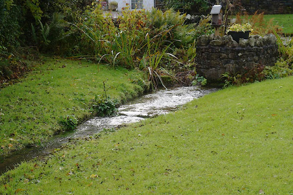 CBV60.jpg (taken 10.10.2014) 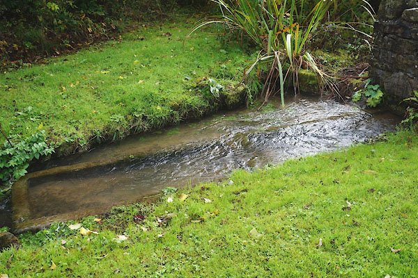 CBV61.jpg Water troughs. (taken 10.10.2014) |
||
|
|
||
| evidence:- | old map:- OS County Series (Cmd 36 14) placename:- Broad Well |
|
| source data:- | Maps, County Series maps of Great Britain, scales 6 and 25
inches to 1 mile, published by the Ordnance Survey, Southampton,
Hampshire, from about 1863 to 1948. |
|
|
|
||
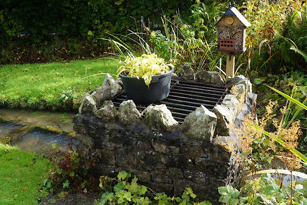 CBV62.jpg (taken 10.10.2014) |
||
|
|
||
 Lakes Guides menu.