


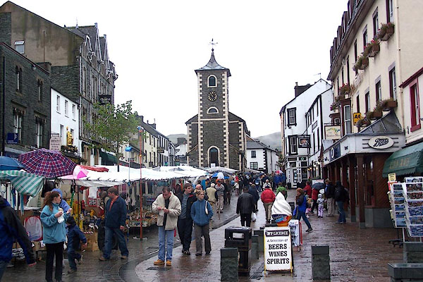
BJX64.jpg Saturday market in Market Place.
(taken 8.10.2005)
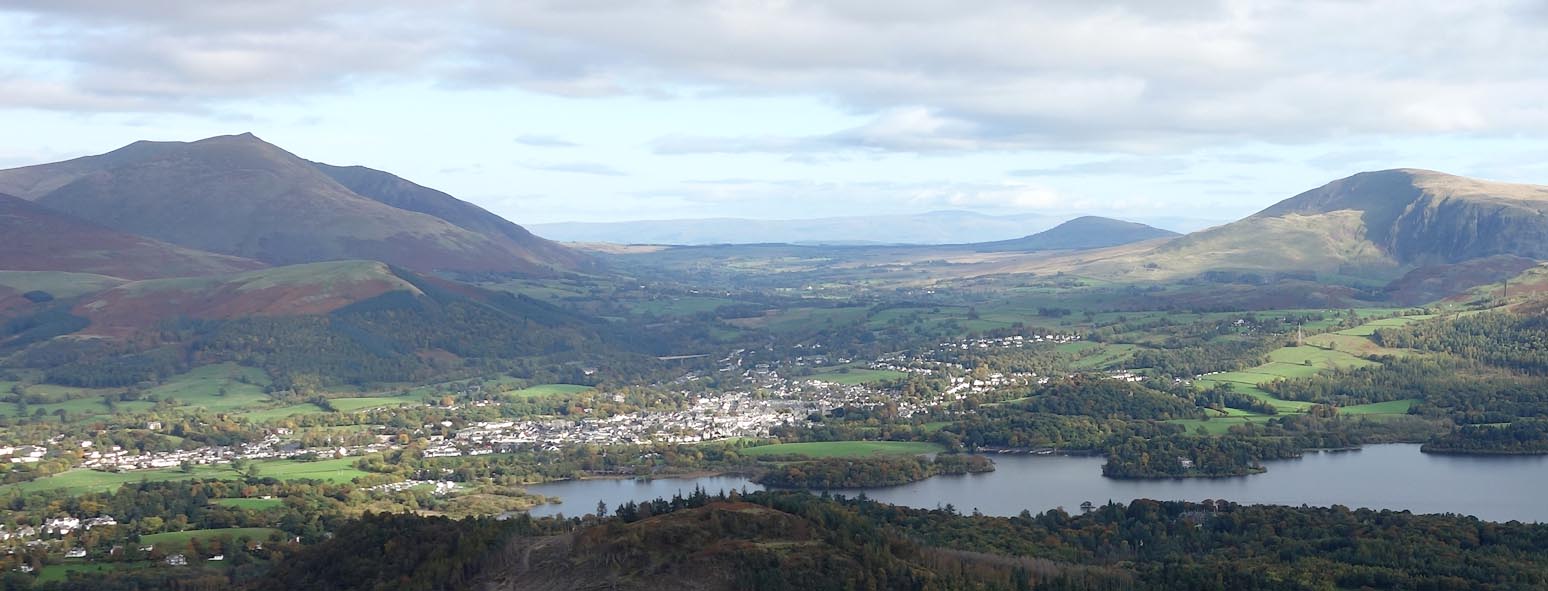
Click to enlarge
BZO09.jpg (taken 24.10.2103)
placename:- Keswick
OS County Series (Cmd 64 2)
placename:- Keswike
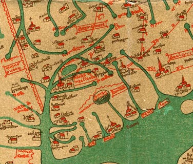 click to enlarge
Ggh1Cm.jpg
item:- JandMN : 33
Image © see bottom of page
placename:- Keswike
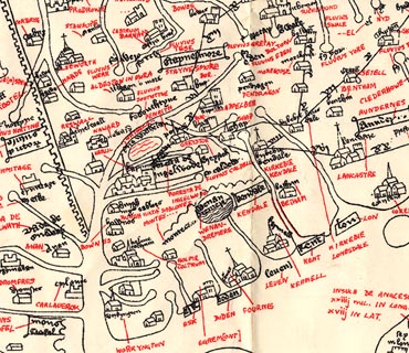 click to enlarge
Ggh2Cm.jpg
item:- JandMN : 34
Image © see bottom of page
placename:- Kyswike
"And also the wayes leadynge to the / most notable places: and the dy- / staunce betwyxte the / same / Anno. 1544"
"Here foloweth the waye fro~ Coker / mouth to lancastre, and so to London. / From Cokermouth to Kyswike. vi myle. / from Kyswike to Grosener. viii. myle. / from Grosener to Kendale. xiiii. myle. / from Kendale to Burton. vii. myle. / from Burton to Lancastre. viii. myle. / ..."
placename:- Keswick
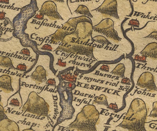
Sax9NY22.jpg
Buildings and towers, symbol for a town. "KESWICK"
item:- private collection : 2
Image © see bottom of page
placename:- Keswik
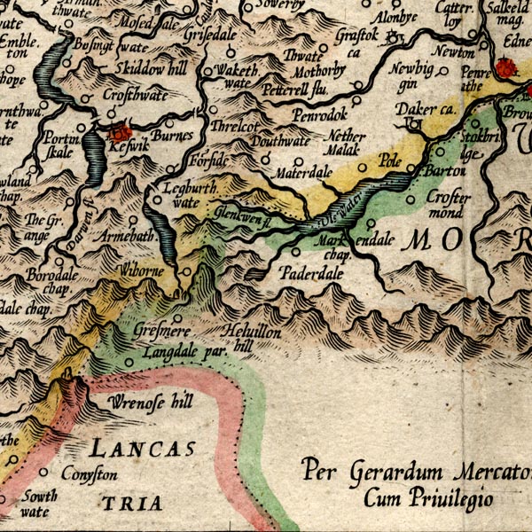
MER8CumF.jpg
"Keswik"
circle, building/s, tower, tinted red
item:- JandMN : 169
Image © see bottom of page
placename:- Keswick
 click to enlarge
KER8.jpg
"Keswick"
dot, two circle, tower, tinted red; town
item:- Dove Cottage : 2007.38.110
Image © see bottom of page
placename:- Keswick
 click to enlarge
SPD6Cm.jpg
"Keswick"
dot, circle, and tower
item:- private collection : 85
Image © see bottom of page
placename:- Keswick
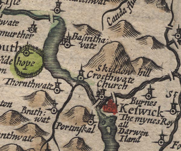
SP11NY22.jpg
"Keswick"
circle, buildings, towers
item:- private collection : 16
Image © see bottom of page
placename:- Keswick
 click to enlarge
SIM4.jpg
"Keswick S.W."
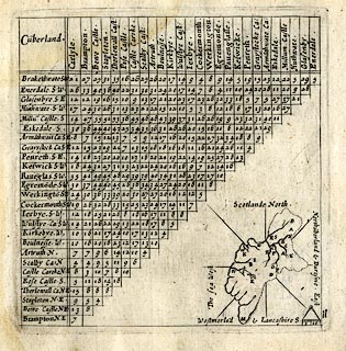
upright text, larger place; and tabulated distances; K on thumbnail map
item:- private collection : 50.11
Image © see bottom of page
placename:- Keswick

JEN4Sq.jpg
"Keswick"
circle
placename:- Keswick
JAN3NY22.jpg
"Keswick"
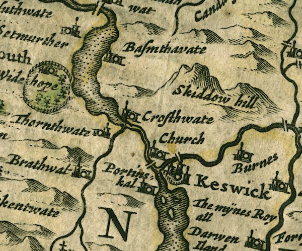
Buildings and towers, suggestion of a wall, notice ?fence palings; upright lowercase text; market town.
item:- JandMN : 88
Image © see bottom of page
placename:- Keswick
"KENDAL to COCKERMOUTH,"
"... at 29'4 to Keswick of about 2 F. on the Road, but more transverse, and on Thurlemire flv. at its Influx into the Darwen. 'Twas a Town of good nore in former Time, now much decay'd; yet it has a Market on Saturdays."
item:- private collection : 367
Image © see bottom of page
placename:- Keswick
OG96m025.jpg
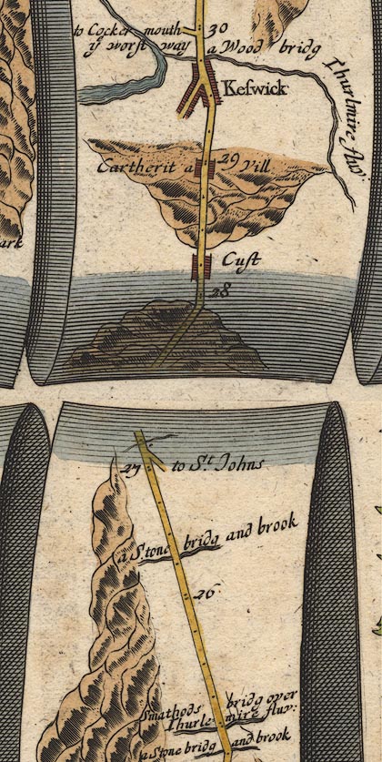
In mile 29, Cumberland. "Keswick"
town plan with houses, a river at the further end.
item:- JandMN : 22
Image © see bottom of page
OG96Bm05.jpg
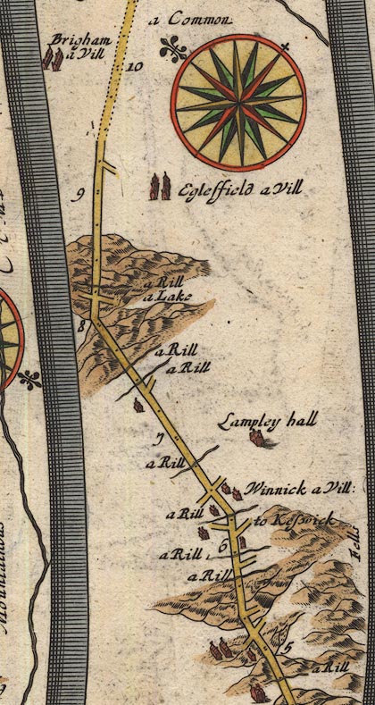
In mile 6, Cumberland.
Turning right:- "to Keswick"
item:- JandMN : 22
Image © see bottom of page
placename:- Keswick
"Keswick"
placename:- Keswick
 click to enlarge
SAN2Cm.jpg
"Keswick"
circle, building and tower, flag; town?
item:- Dove Cottage : 2007.38.15
Image © see bottom of page
placename:- Keswick
 click to enlarge
SEL9.jpg
"Keswick"
circle, upright lowercase text; town
item:- Dove Cottage : 2007.38.89
Image © see bottom of page
placename:- Keswick
 click to enlarge
MRD3Cm.jpg
"Keswick"
circle; village or town
item:- JandMN : 339
Image © see bottom of page
placename:- Keswick
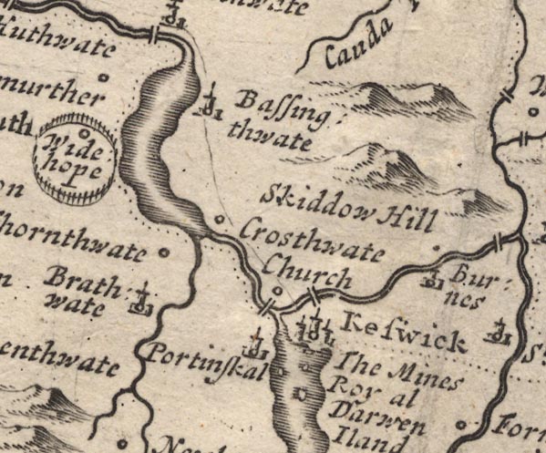
MD12NY22.jpg
"Keswick"
Circle, buildings, towers.
item:- JandMN : 90
Image © see bottom of page
placename:- Keswick
OGY7p179.txt
page 179
Distances from Kendal "... at 29'4 to Keswick of about 2F. on the Road, but more transverse; and on Thurlemire flv. as its Influx into the Darwen. 'Twas a Town of good Note in former Time, now much decay'd; yet it has a Market on Saturdays."
placename:- Keswick
item:- market; charter; market charter; smelting house; workhouse
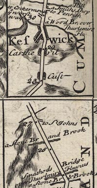
B260m25.jpg
"Keswick (at 29) Was formerly a Town of note, It's Saturday Mt. was procured for it of K. Ed. 1st. by Thos. of Derwent-water then Ld. of it, from whom it Haereditarily descended to the Radcliffs. This place has been for many ages famous for its Mines & the Miners have a convenient Smelling House by ye Darwent Side, which they mannage so ingeniously by its forcible Stream as to make it serve for Bellows, Hammers, & Forge, & also for Sawing Boards, to the great admiration of the curious Spectator. Sr. Ino. Banks Knt. Attorney General to K. Chast. a Native of this Town erected a Workhouse here for employing the Poor of this &ye Parish of Crosthwate."
item:- private collection : 1.260
Image © see bottom of page
placename:- Keswick
"Keswick Market Saturday, Fair July 22."
placename:- Keswick
 click to enlarge
BD10.jpg
"Keswick"
circle, tower/s, upright lowercase text; town
item:- JandMN : 115
Image © see bottom of page
placename:- Keswick
item:- smelter; black lead
 goto source
"..."
"At the N.W. End of this Lake, in a fruitful Plain encompass'd with wet dewy Mountains, and protected by the Skiddaw, from the N. Winds, lies"
"Keswick, a little Market Town of good Note in"
 goto source
"former Times, but now much decay'd, and inhabited chiefly by Miners, who have their smelting Houses here for the Black lead. It is 218 Miles computed. and 283 measured from London. The Market here is on Saturdays, and the Fair on the 22d of July. The Black Lead Mines near this Place are the only Mines of the same Kind in Britain."
 goto source
"... Sir John Bankes, Attorney-General in the Reign of King Charles I. born at Keswick, where he set up a Workhouse for the Poor of this Parish, and the Parish of Crosthwate."
placename:- Keswick
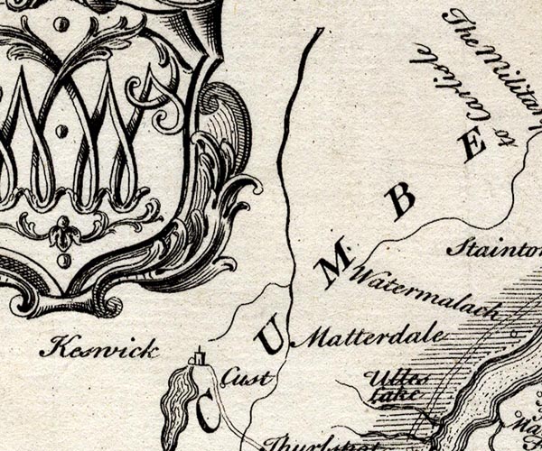
SMP2NYG.jpg
"Keswick"
Building.
item:- Dove Cottage : 2007.38.59
Image © see bottom of page
placename:- Keswic
item:- black lead; guide
 goto source
Gentleman's Magazine 1751 p.52 "... we agreed to meet the next morning at the Royal Oak in Keswic, a market town, on the south side of Skiddow. ..."
"... we reached Keswic; so that we stay'd there no longer than was necessary to hire a guide, and consequently I had no time for critical examination. It is distant from Orthwaite 7 computed miles, and forms the west side of the base of Skiddow; it is skirted with the lake of Basingthwaite, which is about one mile wide and 5 miles long, and on the opposite side Widehope fells, with their impending woods, form a very pleasing and romantic appearance. The town seems to be ancient, and the poorer inhabitants subsist chiefly by stealing, or clandestinely buying of those that steal, the black-lead, which they sell to Jews and other hawkers."
placename:- Keswick
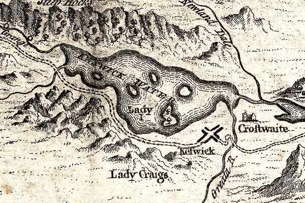
GM1311.jpg
"Keswick"
blocks on a cross roads; town
item:- JandMN : 114
Image © see bottom of page
placename:- Keswick
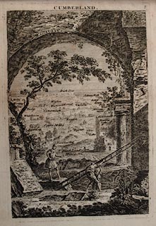 click to enlarge
JL05.jpg
"Keswick"
view (sort of)
item:- Carlisle Library : 4.2
Image © Carlisle Library
placename:- Keswick
"Keswick, though a mean village, without any apparent trade, receives great advantages from what is spent in the town by the nobility and gentry, who resort thither, from every part of England, to see the natural wonders of the lakes and mountains that surround it."
placename:- Keswick
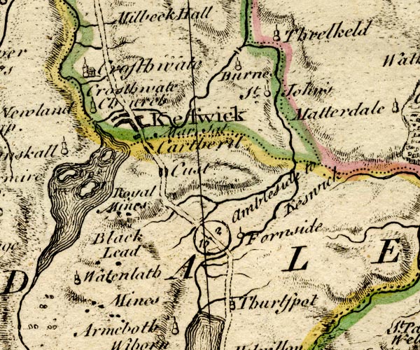
BO18NY21.jpg
"Keswick Mar. Sat."
blocks, on road, street plan, town, market
item:- Armitt Library : 2008.14.10
Image © see bottom of page
 goto source
Gentleman's Magazine 1761 p.500 "Cockermouth, Oct. 19."
"Mr URBAN,"
"IN the plan of a little tour sketched out by one of your correspondents in your Mag. for last April, I cannot but be surprized that, among the other towns of Cumberland, he should omit Keswick and its environs. Nature has with such a liberal hand lavish'd her graces on this sweet retirement, that here seems to be an assemblage of every thing that is beautiful, from every rural scene in the universe. Some of its finest groves have indeed been cut down within these few years; but in vain should I attempt to describe the beauties which remain, which cannot be experienced but by an actual survey."
placename:- Keswick
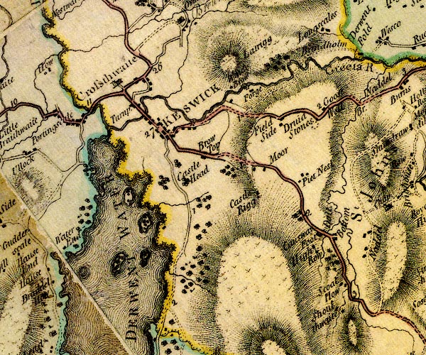
D4NY22SE.jpg
"KESWICK"
blocks, perhaps a church, labelled in block caps; a town and street plan
item:- Carlisle Library : Map 2
Image © Carlisle Library
placename:- Keswick
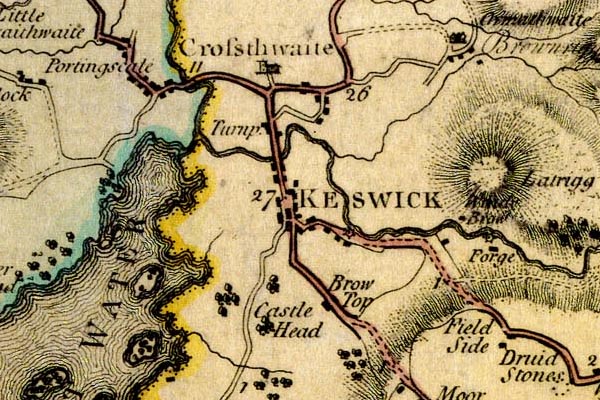
DN04Kswc.jpg
"KESWICK"
Labelled in block caps for a market town; street map; the church at Crossthwaite.
item:- Carlisle Library : Map 2
Image © Carlisle Library
placename:- Keswick
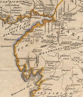 click to enlarge
PEN1Cm.jpg
"Keswick"
circle; buildings, village, etc
item:- private collection : 66
Image © see bottom of page
placename:- Derventione
placename:- Derwent Town
item:- market
 goto source
Page 86:- "..."
"KESWICK [1]."
"This small neat town is at present renowned for nothing so much as the lake it stands near, and which is sometimes called, from the town,"
"[1] (Derventione Raven. Chor.)"
 goto source
Page 87:- "the lake of KESWICK, but more properly the lake of DERWENT; and I am inclined to think, and hope to make it appear, that the ancient name of KESWICK is the DERWENT-TOWN, or the town of DERWENT-WATER. But first of the lake itself. ..."
"..."
 goto source
Page 150:- "... If Camden visited Keswick, he was satisfied with the then present state of the 'little town which king Edward I. made a market.' The face of the country only drew his attention. ... Here was the seat of the ancient lords of the manor of Der-"
 goto source
Page 151:- "[Der]went-water, probably raised on the ruins of the Roman fortress: but after the heiress of that family was married to Ratcliff's, the family seat was removed into Northumberland, and the castle went to ruins; ..."
 goto source
Addendum; Mr Gray's Journal, 1769
Page 202:- "..."
"Oct. 2. I set out at ten for Keswick [from Penrith], ... Dined by two o'clock at the Queen's-head, and then straggled out alone to the parsonage, where I saw the sun set in all its glory."
 goto source
Page 203:- "Oct. 3. [at Keswick] A heavenly day; rose at seven, and walked out under the conduct of my landlord to Borrowdale; ... ... beneath you, and stretching far away to the right, the shining purity of the lake-reflecting rocks, woods, fields, and inverted tops of hills, just ruffled by the breeze, enough to show it is alive, with the white buildings of Keswick, ... for a back-ground at a distance. ..."
 goto source
Page 213:- "..."
"Oct. 9. [at Kendal] The air mild as summer, all corn off the ground, and the sky-larks singing aloud (by the way, I saw not one at Keswick, perhaps because the place abounds in birds of prey.)"
placename:- Keswick
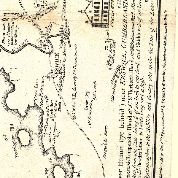
CT2NY22Q.jpg
"KESWICK"
item:- Armitt Library : 1959.191.3
Image © see bottom of page
placename:- Keswick
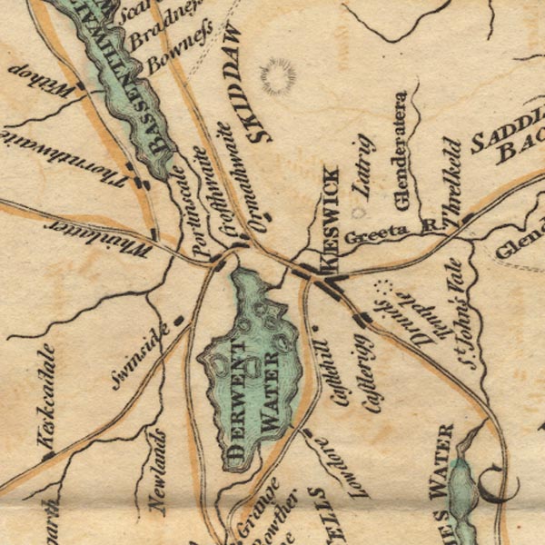
Ws02NY22.jpg
"KESWICK"
item:- Armitt Library : A1221.1
Image © see bottom of page
placename:- Keswick
item:- market; fair; Morlan Fair; Magdalen Fair; St Mary Magdalen; flood; Morlan flood
 goto source
Page 63:- "..."
"KESWICK is a small town, without any remarkable buildings, the poor's house excepted, which shall be hereafter described: it has a pretty good weekly market on Saturday, and three annual fairs; of these the chief is on the second day of August, commonly called Morlan, or Magdalen Fair, being on the day of St Mary Magdalen old stile. The inhabitants about this time usually expect a flood; this they predict in these most wonderful poetic lines,"
""Morlan fluid
Ne'er did guid.""
"This town carried on formerly a very considerable trade in leather and blankets, which are made here: the leather business is much declined, but the blanket and linsey manufactory flourishes at present."
"The chief advantage which Keswick possesses is derived from its romantic situation: This has induced several of the nobility and gentry , in particular Lord William Gordon, and Joseph Pocklington, Esq; to purchase lands in the neighbourhood: it likewise draws, every summer, vast numbers from all parts of the kingdom to visit the many natural curiosities in its neighbourhood. As most of the lands adjacent to the Lake belong to Greenwich-Hospital, it is impossible for many of those who would wish for purchases to meet with land: this is the more to be lamented, as the distance of this place from the metropolis renders these lands much less valuable to the hospital than they might be; and from a very natural cause, viz. that where a multiplicity of hands are to transact any business, there will ever be a door open to peculation; of which I shall hereafter give a most glaring instance."
placename:- Keswick
item:- market; leather; blankets; market charter
 goto source
Page 101:- "..."
"This town was made a market by Edward the First, as Cambden and other inform us; but, as I think, erroneously. The bell in the market-hall has 1001 upon it, and King Edward did not begin his reign till 1272. Some tell us this bell came from Monk's-Hall, and that it belonged to Furness Abbey; this, however, cannot be the case; for Furness Abbey was founded by King Stephen, who began to reign, A.D. 1130; nor are we much nearer, if the opinion be true that he founded this Abbey in 1127, when he was Earl of Bullen. Perhaps the most probable conjecture is, that this bell came from the Island, and was the dinner-bell of the Derwentwater family, who built this hall."
"Keswick appears to have been formerly a much more considerable town than it is at present: Mills for sawing of timber were used here, as Cambden's translator, Holland, tells us, in his time. This intelligence is not in the original; however, I shall give his own words: "Keswick is at this day much inhabited by mineral men, who have their smelting-houses by Derwentside, which, with its forcible stream, and their ingenious inventions, serveth them in notable stead for easy bellows-works, hammer-works, forge-works, and sawing of timber, not without admiration of such as behold it.""
"..."
"Before we finally leave Keswick, I cannot but take notice of an anecdote of an eminent physician in that neighbourhood; which, perhaps, shew some particulars relating to this country in a stronger light than a mere narrative can. The gentleman here alluded to, who was a foreigner, and of great eminence in his profession, was one day asked by another Doctor of equal merit, how he liked his situation? "My situation," replied the foreigner, "is a very eligible one as a gentleman; I can enjoy every species of"
 goto source
Page 102:- ""country amusement in the greatest perfection: I can hunt, shoot, and fish, among a profusion of game of every kind: the neighbouring gentlemen, too, seem to vie with each other in acts of politeness; but as a physician, I cannot say that it is quite so alluring to me, for the natives have got the art of preserving their health, and prolonging their lives, without boluses or electuaries; by a plaister taken inwardly, called Thick Pottage. This preserves them from the various diseases which shake the human fabric, and makes them slide into the grave without pain, by the gradual decays of nature.""
placename:- Keswick
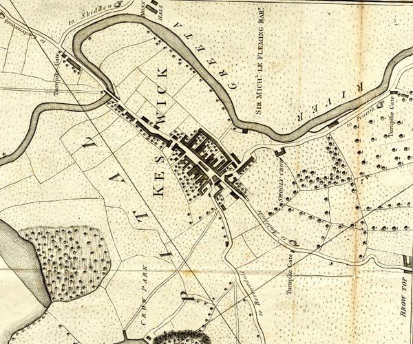
CL152623.jpg
"KESWICK"
buildings on a minimal street plan
item:- private collection : 169
Image © see bottom of page
placename:- Keswicke
item:- copper works; market
 goto source
Page 170:- "..."
"... On the edges of this lake [Derwent Water] in very rich land, surrounded by dewy hills, and defended from the north winds by Skiddaw a very high mountain, lies Keswicke, a small market town, many years famous for the copper works as appears from a charter of king Edward IV. and at present inhabited by miners. Its market was obtained of Edward I. by Thomas de Derwentwater lord of the place, from whom it came by inheritance to the Ratcliffes. ..."
placename:- Keswic
item:- flannels; linseys; charity
 goto source
Page 182:- "..."
"... Keswic is placed in a narrow bottom under vast mountains full of mines. There is carried on a manufactory of flannels, linseys, and yarn. It has a school. Its vale a circle between land and water of about 20 miles is the Elysium of the north. ..."
"..."
"... Sir John Banks, bart. Attorney-General and Chief-Justice of the Common Pleas t. Charles I. gave a considerable benefaction for erecting a manufacturing house and maintaining the poor of Keswick, his native place, which charity is still well managed."
placename:- Keswick
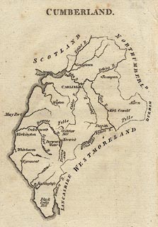 click to enlarge
AIK3.jpg
"Keswick"
circle; town
item:- JandMN : 145
Image © see bottom of page
placename:- Keswick
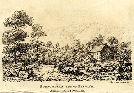 click to enlarge
PR0066.jpg
printed at bottom right, centre:- "Vol.2, page 108, line 20. / BORROWDALE END OF KESWICK. / Published at Ambleside, by Wm. Green, 1820."
item:- Dove Cottage : 2008.107.66
Image © see bottom of page
placename:- Keswick
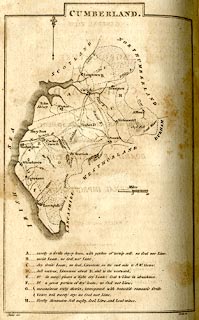 click to enlarge
BY04.jpg
"Keswick"
group of blocks; town
item:- Armitt Library : A680.2
Image © see bottom of page
placename:- Keswick
 goto source
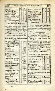 click to enlarge
C38317.jpg
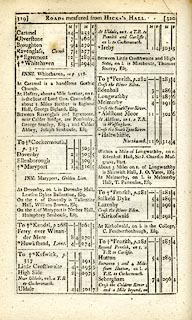
page 317-318 "Keswick / At Keswick, on r. a T.R. to Penrith"
market town, post office
 goto source
 click to enlarge
C38319.jpg
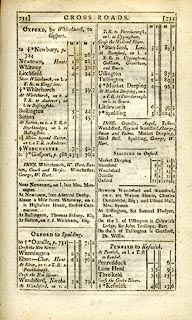
page 319-320 "To Keswick, p.317"
market town, post office
item:- JandMN : 228.1
Image © see bottom of page
placename:- Keswick
 goto source
 click to enlarge
C38733.jpg
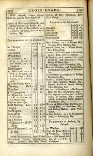
page 733-734 "Keswick"
market town, post office
 goto source
 click to enlarge
C38735.jpg
page 735-736 "INNS. ... Keswick, Queen's Head, Royal Oak."
item:- JandMN : 228.2
Image © see bottom of page
placename:- Keswick
 click to enlarge
GRA1Cd.jpg
"Keswick / 296"
blocks, upright lowercase text; town, distance from London
item:- Hampshire Museums : FA2000.62.2
Image © see bottom of page
placename:- Keswick
 click to enlarge
GRA1Lk.jpg
"Keswick"
blocks, upright lowercase text; town
item:- Hampshire Museums : FA2000.62.5
Image © see bottom of page
 goto source
Gentleman's Magazine 1805 p.1121 "... KESWICK is a small mean market town, situated 25 miles N.W. of Kendal, and subsisting on a manufacture of linsey and woollen yarn: ..."
placename:- Keswick
 click to enlarge
Lw18.jpg
"Keswick 293½"
market town; distance from London; travellers supplied with post horses or carriages
item:- private collection : 18.18
Image © see bottom of page
placename:- Keswick
item:- population; market; fair; tourism
 goto source
"..."
"KESWICK, a market-town in the parish of Crosthwait, in Allerdale ward, below Derwent, Cumberland, 11 miles from Cockermouth, and 291 from London, it is pleasantly situated in a deep valley under vast mountains full of mines and minerals, near the rapid river Greta. The town contains 290 houses and 1350 inhabitants, of whom 318 were returned employed in various trades, particularly in the manufacture of coarse woollens and linen. A few years ago an establishment was formed for the spinning of twist. Formerly copper-mines were wrought in this neighbourhood, but were given up as unprofitable. It consists of one long street, protected from the north winds by the lofty mountain of Skiddaw. Its chief trade is from the influx of travellers on visits to the lakes. The lake of Keswick, or as it is more generally called, Derwent water, is a most romantic piece of scenery; on the north stands Skiddaw, ... A little to the north is the lake of Bassenthwaite, and a few miles to the east Ulswater, ... About 2 miles from the town is a druidical monument, ... In the neighbourhood are some trifling manufactures of coarse woolens and flannels. The market is on Saturday. Fairs 1st Thursday in May, which continues every fortnight for cattle, till 11th October, when it ends with a horse and cow fair; and 2d August chiefly for woollen yarn. - Houseman's Cumberland, and Guide to the Lakes."
"..."
placename:- Keswick
 click to enlarge
COP3.jpg
"Keswick"
circle with two side bars; town
item:- JandMN : 86
Image © see bottom of page
placename:- Keswick
 goto source
page 7:- "..."
"Ambleside and Keswick are the places principally from which the English lakes, and the mountains and vallies lying around them, are visited."
"The population of Keswick is, at least, double that of Ambleside, and the inns and lodging houses are proportionately numerous: there is likewise an activity and industry on the part of those whose business it is to shew, and to describe the surrounding country to strangers, which have been the means of rendering it more known, and consequently, as yet, more valued as a station, than Ambleside; ..."
placename:- Keswick
 click to enlarge
WL13.jpg
"Keswick / [ ]6"
town; distance from London
item:- Dove Cottage : 2009.81.10
Image © see bottom of page
placename:- Keswick
 goto source
page 3:- "AMBLESIDE and Keswick are the principal places from which the English lakes, and mountains and vallies lying around them, are visited."
"Keswick is generally first seen by tourists from Ireland, Scotland, and the north and east of England; and Ambleside by those from the south."
"... ..."
 goto source
page 16:- "KESWICK."
"Keswick, though a small town, is the largest among the lakes; it is compactly built, consisting principally of one street, which runs from north to south; two smaller ones branch from it, one towards Penrith, and the other towards Borrowdale."
"Keswick is situated upon the river Greta, and about half a mile from Derwent Water."
"Keswick is 16 miles fom Ambleside, 24 from Whitehaven, 18 from Penrith, and 21 from the Inn at Patterdale."
placename:- Keswick
item:- population, Keswick; museum, Keswick; minerals
 click to enlarge
FA0427.jpg
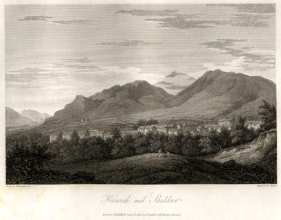
printed, bottom left, right, centre "Drawn by J. Farington R.A. / Engraved by J. Byrne. / Keswick and Skiddaw. / London Published Septr. 15, 1815, by T. Cadell &W. Davies, Strand."
Descriptive text:- "KESWICK AND SKIDDAW."
"KESWICK is a small town, situated near the north-west end of the Lake of Derwentwater; and on the eastern side of the extensive and beautiful vale of Keswick. In the left of our engraving a small part of Bassenthwaite Lake appears. Behind the town rises the dark-frowning Skiddaw (already described) in rugged majesty. The buildings of this town are of stone; and the total number of inhabitants, under the late Population Act, amounted to 1683."
"This town was formerly more extensive, when the copper-mines in its vicinity were wrought; and it was once a considerable market for leather. The weekly market, which is held on Saturdays, is particularly celebrated for its delicious mutton, and for the variety of fresh-water fish obtained from the neighbouring Lakes. Here are two museums, collected by private individuals, which contains specimens of almost every variety of the mineralogical substances. of Cumberland, together with many kinds of plants, fossils, antiques, and other rarities. A cotton twisting mill has for some time been established here, and considerable quantities of Flannel, Kerseys, and coarse Woollen goods, are manufactured in this town and its vicinity. Keswick, from its central situation, is much frequented by strangers making the tour of the Lakes, and from hence excursions are made to various parts of this romantic and interesting country. There are two respectable Inns for the accommodation of strangers, and several small Houses have been built for the purpose of being let to those who may wish to prolong their stay in the centre of this celebrated scenery."
item:- Armitt Library : A6666.27
Image © see bottom of page
placename:- Keswick
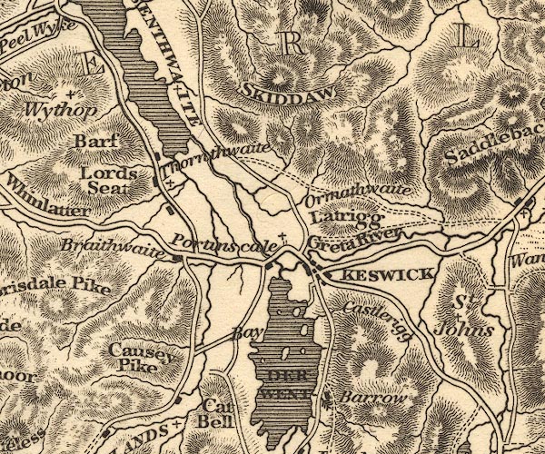
OT02NY22.jpg
"KESWICK"
item:- JandMN : 48.1
Image © see bottom of page
 goto source
Gentleman's Magazine 1816 part 2 p.600
Biographical note from the Compendium of County History:- "Banks, Sir John, Chief Justice, Keswick, about 1590."
placename:- Keswick
 click to enlarge
HA14.jpg
"Keswick / 296"
circle, upright lowercase text; town; distance from London
item:- JandMN : 91
Image © see bottom of page
placename:- Keswick
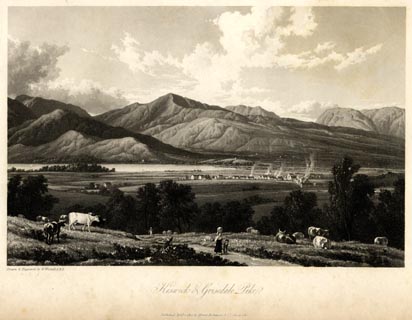 click to enlarge
WTL102.jpg
printed, bottom left, centre "Drawn & Engraved by W. Westall A.R.A. / Keswick and Grisedale Pike. / Published April 1, 1820, by Hurst, Robinson &Co. Cheapside."
item:- Armitt Library : A6671.2
Image © see bottom of page
placename:- Keswick
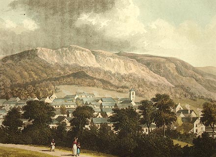 click to enlarge
FW0126.jpg
Tipped in opposite p.176 in A Picturesque Tour of the English Lakes.
item:- Dove Cottage : 1993.R566.26
Image © see bottom of page
item:- population, Keswick; woollens; waistcoat; black lead; pencil; scythe; shovel; museum; natural science; geology; mineral; post chaise; horse; jaunting car; boat; viewpoint
 goto source
Page 117:- "KESWICK"
"Having by different roads conducted the several parties to Keswick, it must be made head quarters for a while, to examine the curiosities of the place - to enjoy the rich scenery in its neighbourhood - and to make excursions, some of a few hours, some of a day, and others perhaps of more than one day."
"Keswick has a population of 2159 inhabitants; its principal trade is in the woollen manufactory, and fancy waistcoats; here are also several manufactories of black-lead pencils, and one of scythes, shovels, and edge tools. The principal inns are the Royal Oak and Queen's Head; there are other houses where small parties may be accommodated,"
 goto source
Page 118:- "besides many neatly furnished private lodgings. Here are two museums, exhibiting the natural history of the country, and numerous foreign curiosities: one was established by the late Mr. Crosthwaite, (who published his maps of the lakes about forty years ago,) and is now kept by his son; the other is kept by the daughters of the late Thomas Hutton, who died in 1831, at the age of 85. At both the museums, at Mr. Wright's, and at other places, a variety of minerals and other subjects of natural history, are kept on sale. Post chaises, ponies, and jaunting cars may be had at the inns, with experienced guides for excursions by land; and neat pleasure-boats with intelligent boatmen for the water."
"On an eminence at the north end of the town, Robert Southey, Esq. L.L.D. Poet Laureate, occupies a delightful situation; ..."
"For an introduction to the beauties of Keswick vale, a good station will be found on Castlehead, which is a wooded rock rising, in the centre of the Derwentwater estate, to the height of 280 feet above the lake. From the Borrowdale road, at one third of a mile from the inn, a path turns off by which the hill is ascended: and from its summit the lake of Derwent is finely displayed, with its numerous bays and islands. ..."
 goto source
Page 119:- "... This may be thought too elevated a station for the eye of a painter; but as a general view of the lake, the town, and the valley, it is excellent. Some of the lower stations formerly recommended are rendered less inviting by the too great profusion of wood upon the shores of the lake, and upon its islands; but this rock will always remain sufficiently prominent for a prospect; and its substance offers a study for the geologist."
"A walk by the water side, to Friar Crag, at the distance of three quarters of a mile, is the favourite promenade of the inhabitants of the town, and affords much gratification to strangers. On leaving"
 goto source
Page 120:- "the street the prospect is over Crow Park, which at the time of the attainder of the late Earl of Derwentwater, was a wood of stately oaks; but is now a fine, swelling, verdant field, on which races are annually held. ... On the left lies Cockshot, a hill thickly covered with oaks, and a tall silver fir upon its crest; the trees intercept the views from its summit, but a walk round its margin may sometimes be taken on account of the shelter it affords. Coming in sight of the lake, Vicar's Isle is most happily placed, ... Along the margin of the water numerous boats are moored, some belonging to private individuals, others kept for the accommodation of visitors; and at the termination of the walk on the low promontory of Friar Crag, the eye is saluted with a full prospect of the lake, bounded by the celebrated mountains of Borrowdale. ..."
 goto source
Page 121:- "..."
"Excellent views of the vale and mountains are also obtained from the Vicarage, from Ormathwaite, from many parts of a road leading by Applethwaite and Milbeck along a pleasant elevation at the foot of Skiddaw, and from the side of Latrigg. Those who admire more extensive prospects, may climb to the top of Latrigg - Wallow Crag - Swinside - Catbells - Causey Pike - Grisedale Pike, or Grasmoor; and to crown the whole, for once, to the summit of Skiddaw, Helvellyn, or the still more lofty station of Scawfell Pike."
 goto source
Page 170:- "The mean annual quantity of rain at Keswick is about 68 inches; at Kendal 60 inches; at Manchester 35 inches; at London 20 inches."
placename:- Keswick
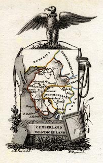 click to enlarge
PER2.jpg
"Keswick"
circle; town
item:- Dove Cottage : 2007.38.45
Image © see bottom of page
placename:- Keswick
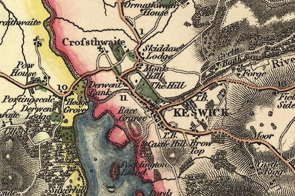
gw12kswc.jpg
"KESWICK"
street map; labelled in block caps for a market town; notice the Forge at Greta Bank, and the race course
item:- National Library of Scotland : EME.b.3.11
Image © National Library of Scotland
item:- barn
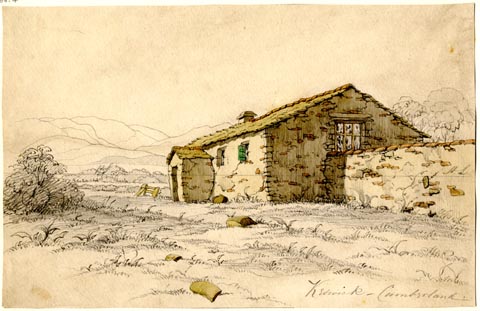 click to enlarge
PR1861.jpg
ms, lower right "Keswick - Cumberland"
item:- Armitt Library : 1959.66.4
Image © see bottom of page
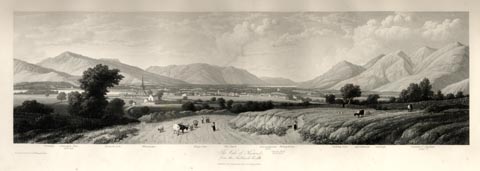 click to enlarge
WTL312.jpg
"Swinside. Grisedale Pike. 2680 feet. Keswick Lake. Whinlatter. Kings Seat. The Barfe. Bassenthwaite Lake. Greata Hall. Mr. Southey's. Wilhop brows. Skiddaw Dod. Applethwaite. Carlside. Summit of Skiddaw. 3022ft. / Drawn & Engraved by W. Westall A.R.A. / The Vale of Keswick, from the Ambleside road. / Published by Ackermann and Co, 96 Strand. 1836."
item:- Armitt Library : A6658.12
Image © see bottom of page
placename:- Keswick
 click to enlarge
COB5.jpg
"Keswick"
dot and circle; town
item:- JandMN : 117
Image © see bottom of page
placename:- Keswick
item:- population, Keswick; market day; boat
 goto source
Page 51:- "..."
"KESWICK"
"Is a neat market-town, consisting of one long street of good houses, situated near the foot of Derwent Water. The chief inns are the Royal Oak and Queen's Head; but there are several smaller inns, where parties may be accommodated, besides many neatly-furnished private lodgings. Post-chaises and ponies may be had at the inns, with intelligent guides for excursions by land, and neat pleasure-boats for the water. Here are two museums, exhibiting the geological history of the surrounding locality, and many foreign curiosities; ... The Town-Hall was built in 1813, on the site of the old Court House; ... used both for a court-room, and also for marketing"
 goto source
Page 52:- "and other public purposes. The parish church of Crosthwaite stands almost in the centre of this finest of vales; the parish is very extensive, containing scenery not to be surpassed, whether you regard the varied beauties of Derwent Water, the stern majesty of Thirlmere, the lovely rural meads of Newlands, the sublime gorge of Borrowdale, or the lone grandeur of Watendlath. ... Near the parish church-yard is the Grammar School, and the charitable institutions are very numerous and creditable to the inhabitants. A new church of the pointed style, having a tower and spire at the west end, has been built ... At Keswick are manufactories of coarse woollen goods, edge-tools, and black-lead pencils. The great high-roads from Kendal and Penrith, to Cockermouth, Whitehaven, &c. unite here, rendering this place the grand rendez-"
 goto source
Page 53:- "[rendez]vous of tourists whilst visiting the northern parts of the Lakes."
 goto source
Page 165:- "..."
"KESWICK, a small market-town between the foot of Skiddaw and Derwent Water. It may be considered as the capital of the Lakes, and is frequented by a great number of visitors during the season, who make excursions from it to the surrounding lakes, valleys, and mountains. It has manufactures of woollens, black lead pencils, spades, &c."
 goto source
Page 166:- "There are two museums, containing many curiosities, and specimens of the mineralogy and geology of the district. Guides, horses, and boats, may be obtained for excursions, and all the accommodations for visitors are good. Population, 2159; market-day, Saturday; inns, Royal Oak and Queen's Head."
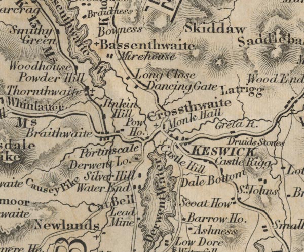
placename:- Keswick
FD02NY22.jpg
"KESWICK"
item:- JandMN : 100.1
Image © see bottom of page
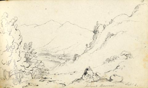 click to enlarge
AS0221.jpg
"behind Barrow Sept 4."
page number "19"
item:- Armitt Library : 1958.488.21
Image © see bottom of page
item:- tree felling
 goto source
Gentleman's Magazine 1849 part 1 p.249 "..."
"THE town of Keswick, in the parish of Crosthwaite, is situated in one of the largest and most beautiful vales in Cumberland, at the northern extremity of the lake district, on the high road, and nearly midway between the towns of Ambleside, Cockermouth, and Penrith. It is so well known, on account of the many scenes of picturesque loveliness with which its immediate neighbourhood abounds, heightened as they are by the romance which encircles the name of Derwentwater, and the glory reflected from the laurels that grace the tomb of Southey, that any further description is unnecessary. It will only be added, that, on the authority of one who knew the place about a century ago, it has been "more considerable formerly than now." The aspect of the country around has also undergone much change since that time, and many of the vestiges of its earlier years have almost wholly passed away. The translucent lakes and the majestic hills, in all their imposing durability of feature, are still as of old; but the wide amd magnificent forests, which, within a century, covered the land between the town and the lake, have long since fallen beneath the ruthless axe, which has caused so many of the finest woods in this country to disappear without leaving a trace behind. "Ah!" exclaims Walker the philosopher, a native of this alpine district, in his Tour from London to the Lakes in 1791, "how fallen is the scenery around the lake and vale of Keswick since I saw it in the year 1749, when Crow Park, Friar's Crag, Lord's Island, and indeed all the shores and islands of this beautiful lake, were covered with tall oaks. The view must have been striking when a child of ten years old, as I was then, had such an impression made by it as not to be erased for forty years, - nay, I think I could draw it from memory at this hour, if I had time. The wood was so even at top, each tree being about eighteen yards high and very thick, that it looked like a field, and the branches so interwoven, that boys could have gone from tree to tree like squirrels." ..."
placename:- Keswick
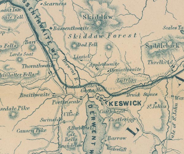
GAR2NY22.jpg
"KESWICK"
blocks, settlement, on a minimal street plan
item:- JandMN : 82.1
Image © see bottom of page
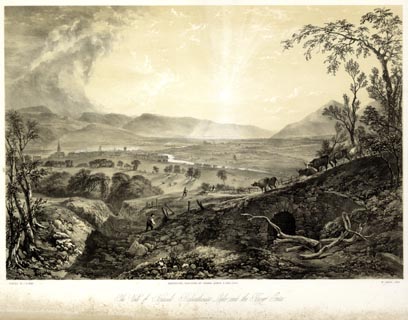 click to enlarge
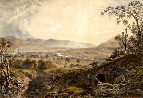
PYN208.jpg
"PAINTED BY J. B. PYNE. / W. GAUCI LITH. / MANCHESTER, PUBLISHED BY THOMAS AGNEW & SONS, 1853. / The Vale of Keswick, Bassenthwaite Lake, and the River Greta. / M & N HANHART IMPT."
item:- Armitt Library : A6678.9
Image © see bottom of page
 click to enlarge
PYN408.jpg
item:- Armitt Library : A6677.9
Image © see bottom of page
 Directory 1855
item:- relief model; Model of the Lake District
 goto source
Page 72:- "There is no beauty in the primitive little town itself [Keswick]; but it has its attractions, besides the convenience of its central situation among so many mountains and valleys. Of these attractions, the first is, undoubtedly, Mr. Flintoft's Model of the Lake District, which is within a few yards of all the principal inns, and may be seen during a shower, when, otherwise, the stranger might be losing temper in hearing the rain drip. That model,- at first sight an uneven ugly bit of plaster, will beguile a sensible traveller of a longer time than he would suppose possible. Ten minutes would give him a better idea of the structure and distribution of the country than all maps and guide books; but he will probably linger over it till he has learned all the sixteen large lakes, and some of the fifty-two small ones, and traced every road and main pass in the district. Crosthwaite's Museum is also a place of great interest, ..."
placename:- Keswick
 click to enlarge
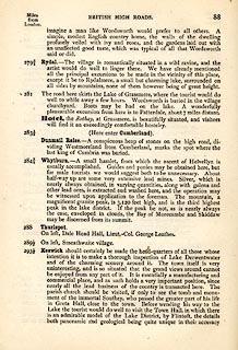
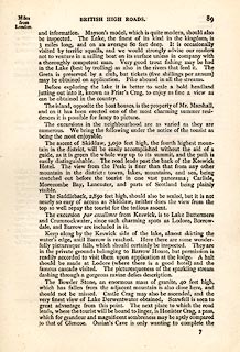
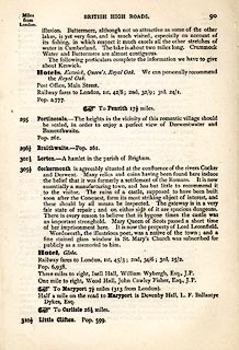
TLY188.jpg
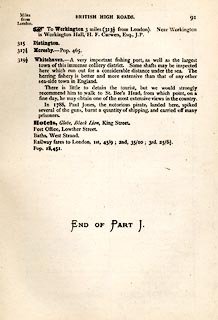
pp.71-91 in British High Roads, North and North Eastern Routes; pp.84-91.
printed at p.71:- "... / ROUTE VII. - LONDON to WHTEHAVEN via THE LAKE / DISTRICTS. (See Maps 65 to 80.) / Hitchin (as per Route I.) 34, Shefford 41, Bedford 50, Higham-Ferrers, / 64¾, Kettering 74½, Rockingham 83¼, Uppingham 88¾, Oakham, / 94¾, Melton Mowbray 104¾, Nottingham 123¼, Rotherham 159¼, / Barnsley 171¾, Huddersfield 188¾, Halifax 196¾, Keighley 208¾, / Skipton 218¾, Settle 234¾, Kirkby Lonsdale 252½, Kendal 264½, / Ambleside 278½, Keswick 293½, Cockermouth 305½, Whitehaven / 319½. / ..."
 click to enlarge
TLY189.jpg
 click to enlarge
TLY190.jpg
 click to enlarge
TLY191.jpg
item:- private collection : 270.2
Image © see bottom of page
placename:- Keswick
 click to enlarge
TLY1M5.jpg
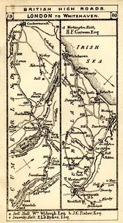
Map pp.79-80 in British High Roads, North and North Eastern Routes.
printed at top:- "BRITISH HIGH ROADS / 79 LONDON TO WHITEHAVEN. 80"
item:- private collection : 270.7
Image © see bottom of page
placename:- Keswick
 click to enlarge
NS0329.jpg
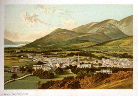
At the end of Views of the English Lakes, and Tourists Guide to the English Lakes.
printed at bottom:- "KESWICK FROM CASTLE HILL"
item:- JandMN : 474.30
Image © see bottom of page
 click to enlarge
HB0289.jpg
item:- Armitt Library : ALPS646
Image © see bottom of page
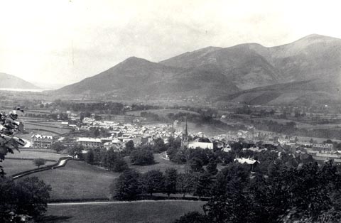 click to enlarge
HB0615.jpg
stamped on reverse:- "HERBERT BELL / Photographer / AMBLESIDE"
item:- Armitt Library : ALPS275
Image © see bottom of page
MSN1P022.txt
Page 22:- "..."
"Southey, another lake poet, less famous than Wordsworth, had his dwelling in Keswick, the bright little town which stands on the lake."
placename:- Keswick
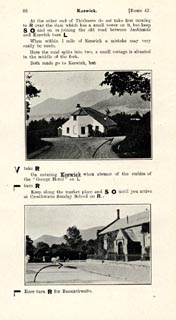 click to enlarge
JS5086.jpg
pp.85-88 in the road book, Roads Made Easy by Picture and Pen, vol.3.
printed at beginning, p.85:- "ROUTE 42. / KENDAL via the Lakes, Windermere (8¼), Grasmere (17), Dunmail Raise (20¼), Thirlmere, Keswick (30), Bothel (42¾), to CARLISLE (61¼)."
item:- private collection : 268.12
Image © see bottom of page
placename:- Keswick
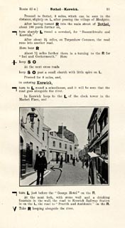 click to enlarge
JS5091.jpg
pp.89-92 in the road book, Roads Made Easy by Picture and Pen, vol.3.
printed at beginning, p.89:- "ROUTE 42. Reverse. / CARLISLE through the Lakes via Bothel (18½), Keswick (31¼), Thirlmere, Dunmail Raise (41), Grasmere (44¼), Windermere (53) to KENDAL (61¼)."
item:- private collection : 268.13
Image © see bottom of page
placename:- Keswick
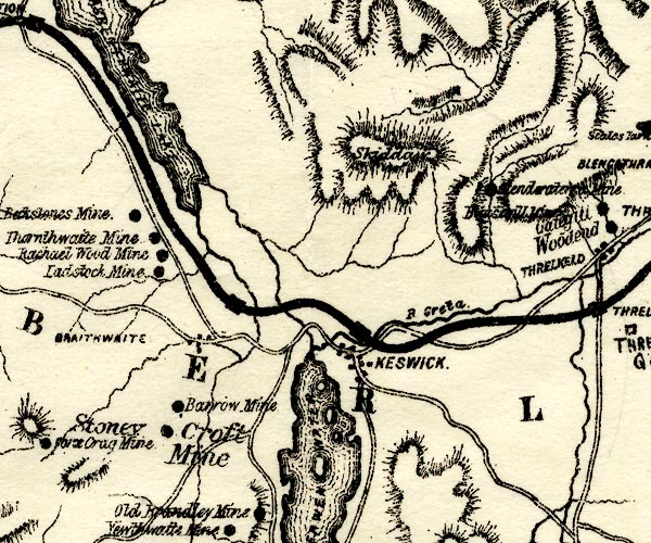
PST2NY22.jpg
"KESWICK"
dots, roads,railway and station
item:- JandMN : 162.2
Image © see bottom of page
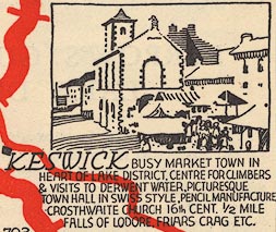
EJB3Vg43.jpg
item:- private collection : 17
Image © see bottom of page
placename:- Keswick
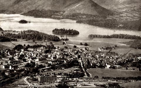 click to enlarge
PCH106.jpg
printed, "Keswick and Derwentwater. / ..."
item:- JandMN : 1015.6
Image © see bottom of page
placename:- Kesewik
item:- market
 Post Office maps
placename:- Keswick
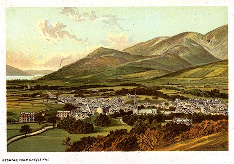 click to enlarge
PR0165.jpg
From a set of prints, The Scenery of the English Lakes
printed at lower right:- "T. NELSON &SONS"
printed at bottom left:- "KESWICK FROM CASTLE HILL"
item:- Dove Cottage : 2008.107.165
Image © see bottom of page
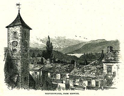 click to enlarge
PR0324.jpg
On page 285 of Our Own Country. A view of Keswick roof tops with the lake in the distance.
printed at bottom:- "DERWENTWATER, FROM KESWICK."
item:- Dove Cottage : 2008.107.324
Image © see bottom of page
placename:- Keswick
 click to enlarge
PR0018.jpg
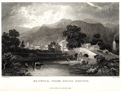
vol.1 pl.44 in the set of prints, Westmorland, Cumberland, Durham and Northumberland Illustrated.
printed at bottom left, right, centre:- "H. Gastineau. / W Le Petit. / KESWICK, FROM GRETA BRIDGE. / FISHER, SON &CO. LONDON, 1833."
item:- Dove Cottage : 2008.107.18
Image © see bottom of page
placename:- Keswick
 click to enlarge
PR0066.jpg
printed at bottom right, centre:- "Vol.2, page 108, line 20. / BORROWDALE END OF KESWICK. / Published at Ambleside, by Wm. Green, 1820."
item:- Dove Cottage : 2008.107.66
Image © see bottom of page
placename:- Keswick
 click to enlarge
GN0368.jpg
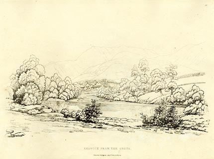
Plate 68 in Seventy Eight Studies from Nature.
printed in introductory pages to set of prints:- "Number 68. The source of the Greta is Leathes Water, from which it runs through St. John's vale, by Threlkeld to Keswick, and joins the Derwent at Portinscale. The view of Keswick here given, is from the road to Penrith, near the Turnpike-gate; the knob on the mountain is called Causey Pike; that in the same line, but more distant, is Grasmere, which mountain rises from Crummock Water, but displays the finest line from Lowes Water."
printed at bottom:- "KESWICK FROM THE GRETA. / Published Ambleside, Augst. 1st. 1809, by W. Green."
item:- Armitt Library : A6637.68
Image © see bottom of page
 click to enlarge
BMZ88.jpg
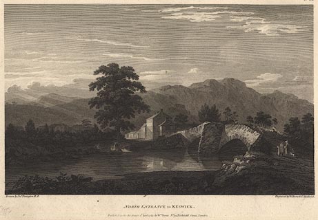
Greta Bridge and the River Greta.
Plate 9 from Views of the Lakes, &c, in Cumberland and Westmorland, published 1789; with descriptive text:- "VIEW OF KESWICK."
"KESWICK stands on the north of Derwentwater, and at no great distance from it. It is a small market-town chiefly deriving it's importance from it's situation, being usually made the head-quarters of the inquisitive traveller. The point of vie is at the entrance on the road from Cockermouth. The bridge in the foreground is over the Greata, which joins the Derwent a little below in it's course from Derwent to bassenthwaite-water. Behind the houses on the right stands castlett-crag at the foot of which runs the road to Lodore. The rocks which serve as a back ground to the scene are Wallow-crag, Eve-crag, &c. hanging over the eastern side of the lake. Keswick is eighteen miles distant from Winandermere, and fourteen from Ullswater. It ought to be observed here, as it was done before with respect to the timber and coppice-woods, that the bridges in this country are liable to perpetual alterations on account of the violence of the torrents; it is not therefore to be wondered at if the representation given of them should sometimes vary from the present form."
item:- Dove Cottage : Lowther.52
Image © see bottom of page
 click to enlarge
RSN113.jpg
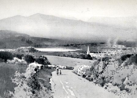
Tipped in opposite p.50 of Wordsworthshire by Eric Robertson.
printed at bottom:- "THE VALE OF KESWICK"
signed at painting lower left:- "Arthur Tucker"
item:- JandMN : 197.13
Image © see bottom of page
placename:- Keswick
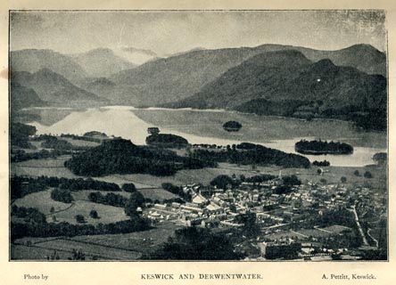 click to enlarge
HW1E09.jpg
In a Guide to Keswick and its Vicinity in the Penny Guide Books series.
printed at bottom:- "Photo by / KESWICK AND DERWENTWATER. / A. Pettitt, Keswick."
item:- JandMN : 348.9
Image © see bottom of page
placename:- Keswick
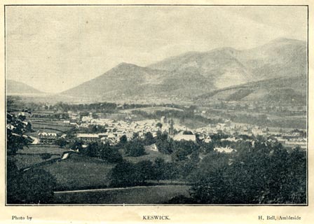 click to enlarge
HW1E01.jpg
In a Guide to Keswick and its Vicinity in the Penny Guide Books series.
printed at bottom:- "Photo by / KESWICK. / H. Bell, Ambleside"
item:- JandMN : 348.1
Image © see bottom of page
placename:- Keswick
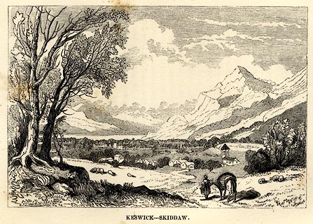 click to enlarge
AD03E3.jpg
Tipped in opp.p.45 in Adams's Pocket Descriptive Guide to the Lake District.
printed at lower left:- "F. DelaMotte"
printed at bottom:- "KESWICK - SKIDDAW"
item:- Armitt Library : A1117.4
Image © see bottom of page
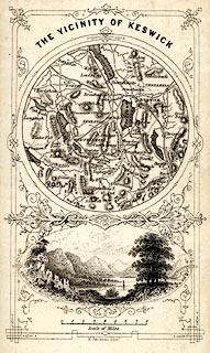 click to enlarge
HUD1M2.jpg
Map, uncoloured engraving, The Vicinity of Keswick, engraved by W Banks, Edinburgh, published by John Hudson, Kendal, Westmorland, 1853.
Circular map, with a vignette view of Derwent Water below.
Tipped in opp p.68 in A Complete Guide to the Lakes, edited John Hudson.
printed at top:- "THE VICINITY OF KESWICK."
printed at bottom:- "W. Banks, sc. Edinr."
item:- JandMN : 327.5
Image © see bottom of page
placename:- Keswick
 click to enlarge
PR0499.jpg
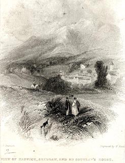
printed at bottom left, right, centre:- "[ ] T Creswick / Engraved by W. Find[ ] / VIEW OF KESWICK, SKIDDAW, AND MR. SOUTHEY'S HOUSE."
item:- Dove Cottage : 2008.107.448
Image © see bottom of page
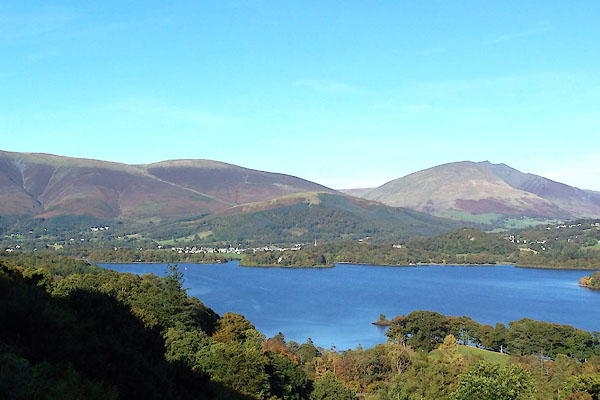
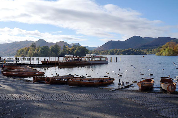
BOG19.jpg Keswick, Latrigg, Blease Fell from across the lake.
(taken 5.10.2007)

Click to enlarge
BMX41.jpg Keswick, Dodd, Skiddaw, Lonscale Fell, Blease Fell and Latrigg, viewed from the south.
(taken 23.10.2006)
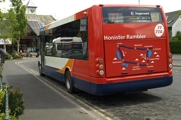
BST74.jpg Bus, Honister Rambler, at the stance, Elliot Park
(taken 17.5.2010)
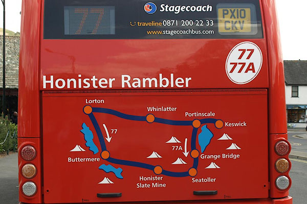
BST75.jpg Map of the Honister Rambler routes 77, clockwise and anticlockwise.
(taken 17.5.2010)
: Jenkinson, Henry Irwin
 |
NY26912316 Acorn Cottage (Keswick) |
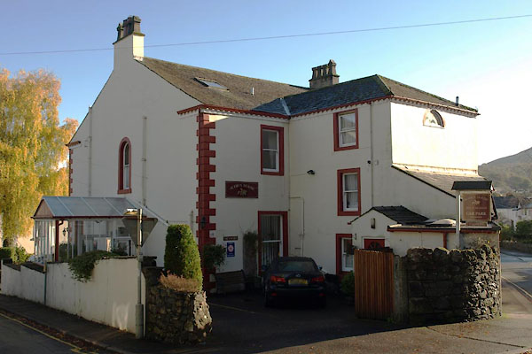 |
NY26892316 Acorn House (Keswick) |
 |
NY2623 Assembly Rooms (Keswick) |
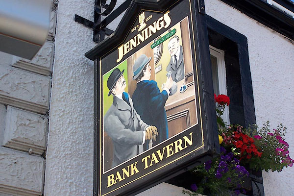 |
NY26562350 Bank Tavern (Keswick) L |
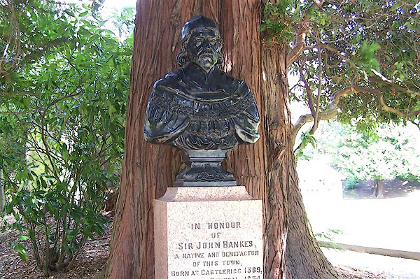 |
NY26932363 Bankes Memorial (Keswick) |
 |
NY27552379 Birk's Nook (Keswick) |
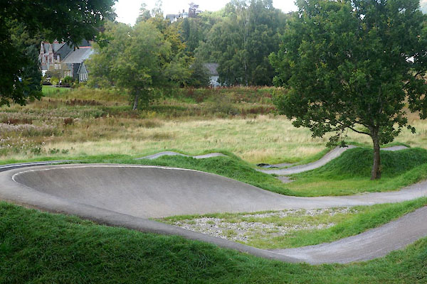 |
NY26612402 BMX Pump Track (Keswick) |
 |
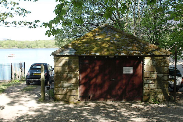
NY26512308 boat house, Keswick (2) (Keswick) |
 |
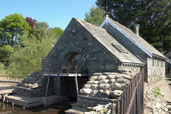
NY26382256 boat house, Keswick (3) (Keswick) |
 |
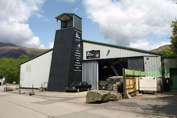
NY26402277 Keswick Boat House (Keswick) |
 |
NY26422386 Bond Museum, The (Keswick) gone |
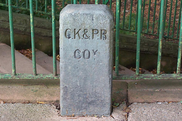 |
NY26952372 boundary stone, Keswick (Keswick) |
 |
NY26512335 bowling green, Keswick (Keswick) gone |
 |
NY27852382 brewery, Keswick (Keswick) |
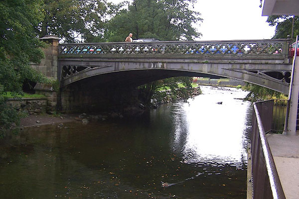 |
NY26852356 Station Road Bridge (Keswick) |
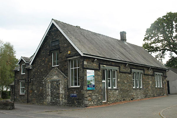 |
NY27492381 Brigham School (Keswick) |
 |
NY27332305 Brow Top (Keswick) |
 |
NY27642383 Browfoot (Keswick) |
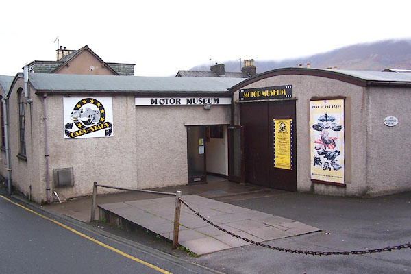 |
NY26722346 Cars of the Stars Motor Museum (Keswick) |
 |
NY27042272 Castlehead Wood (Keswick) |
 |
NY28202295 Castlerigg Brow (Keswick) |
 |
NY27852339 Castlerigg Cottage (Keswick) |
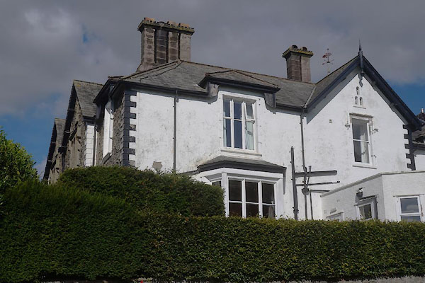 |
NY27332308 Castlerigg Manor (Keswick) L |
 |
NY26682313 Castlett Cottage (Keswick) |
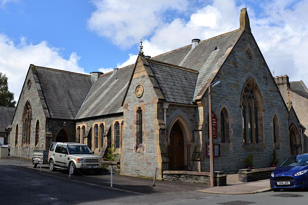 |
NY26792339 Keswick Methodist Church (Keswick) |
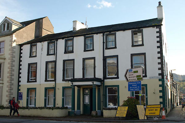 |
NY26812346 County Hotel (Keswick) L |
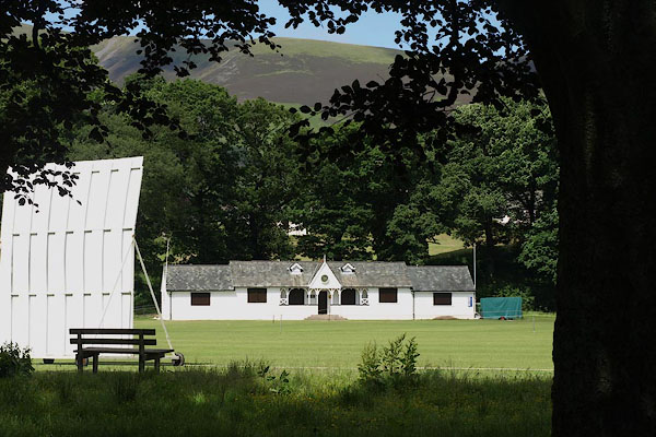 |
NY26772376 cricket club, Keswick (Keswick) |
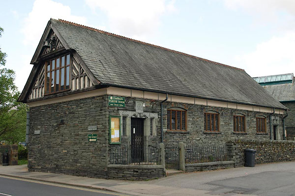 |
NY26402364 Crosthwaite Parish Room (Keswick) |
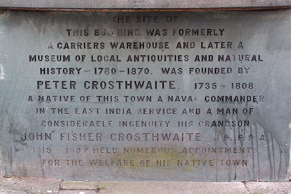 |
NY265235 Crosthwaite's Museum (Keswick) gone |
 |
NY26322304 Crow Park (Keswick) |
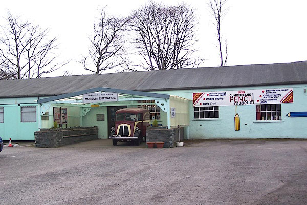 |
NY26332379 Cumberland Pencil Museum (Keswick) |
 |
NY27352373 Denton's Well (Keswick) |
 |
NY25112400 Derwent Bridge (Keswick) |
 |
NY26832320 Derwentwater Place (Keswick) |
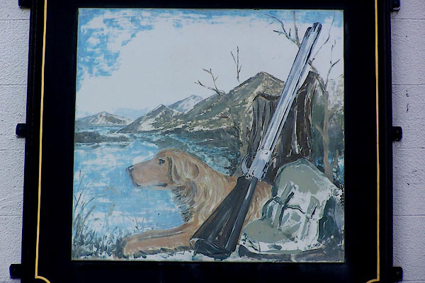 |
NY26682336 Dog and Gun, The (Keswick) L |
 |
NY2623 Dovecote (Keswick) |
 |
NY26162393 drain, Keswick (Keswick) |
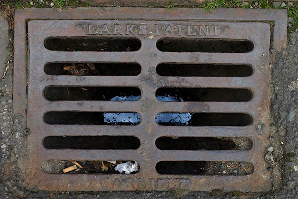 |
NY26902343 drain, Keswick (2) (Keswick) |
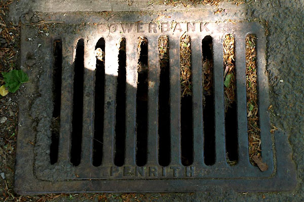 |
NY26442283 drain, Keswick (3) (Keswick) |
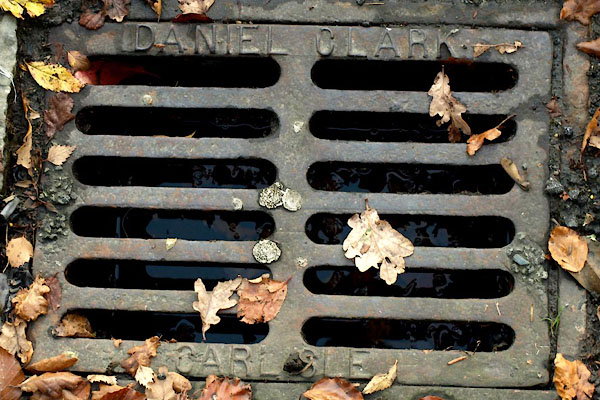 |
NY26872317 drain, Keswick (4) (Keswick) |
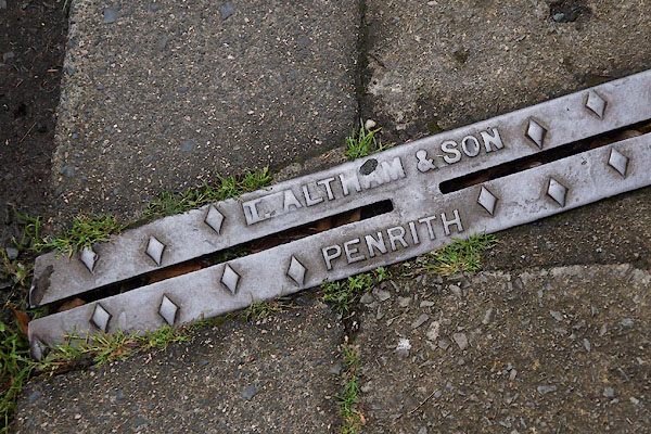 |
NY26702314 drain, Keswick (5) (Keswick) |
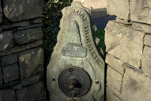 |
NY26162388 drinking fountain, Keswick (Keswick) |
 |
NY27082384 Keswick Engine Shed (Keswick) |
 |
NY26962313 Eskin Place (Keswick) |
 |
NY26652342 exhibition room, Keswick (Keswick) |
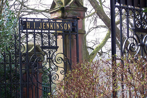 |
NY26962361 Fitz Parks (Keswick) |
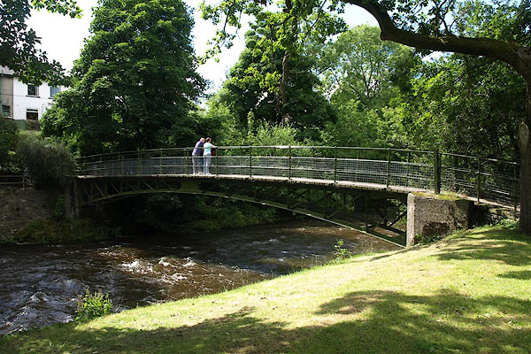 |
NY26662373 footbridge, Keswick (Keswick) |
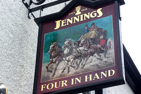 |
NY26672328 Four in Hand (Keswick) |
 |
NY26612357 gas works, Keswick (Keswick) gone |
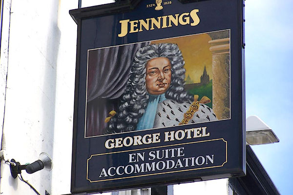 |
NY26712337 George Hotel (Keswick) L |
 |
NY27252406 Great Bank Farm (Underskiddaw) |
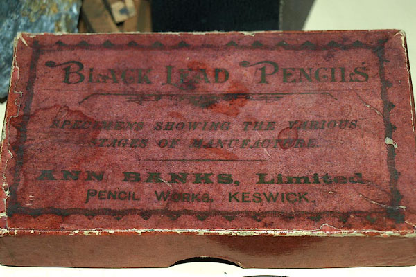 |
NY262236 Greta Bridge pencil works (Keswick) |
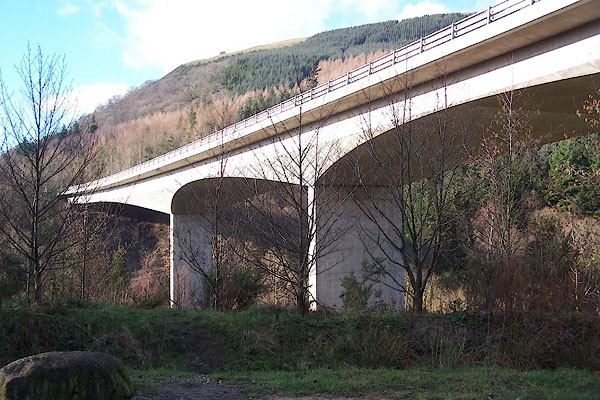 |
NY28082403 Greta Bridge (Keswick) |
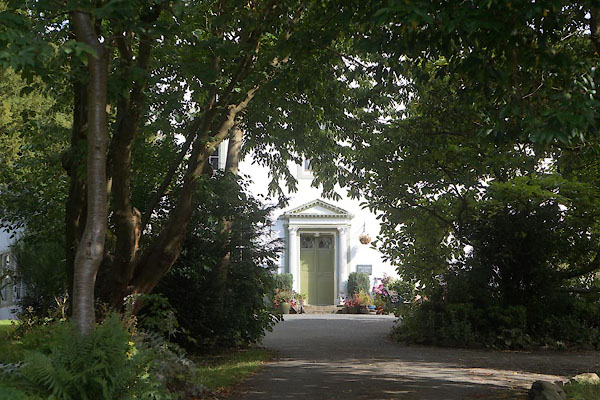 |
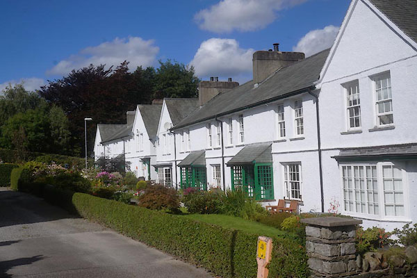
NY26522379 Greta Hall (Keswick) L |
 |
NY25682375 Greta Hamlet (Keswick) |
 |
NY26502381 Greta Lodge (Keswick) |
 |
NY267237 Greta Side pencil works (Keswick) |
 |
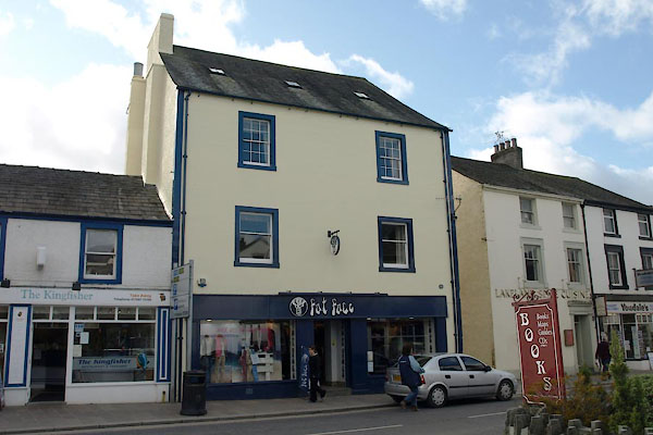
NY28072381 Hawthorns (Keswick) |
 |
NY26482355 Heads House (Keswick) L |
 |
NY26402338 Heads (Keswick) |
 |
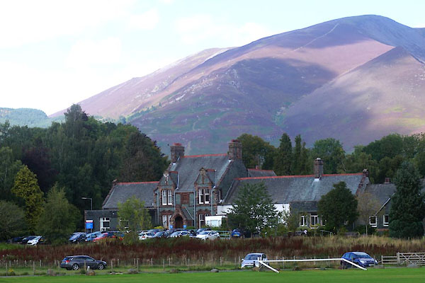
NY262238 High Hill (Keswick) |
 |
NY26472409 hospital, Keswick (Keswick) |
 |
NY266233 Hutton's Museum (Keswick) |
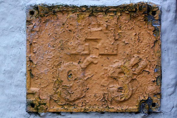 |
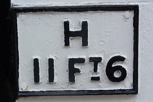
NY26672325 hydrant plate, Keswick (Keswick) |
 |
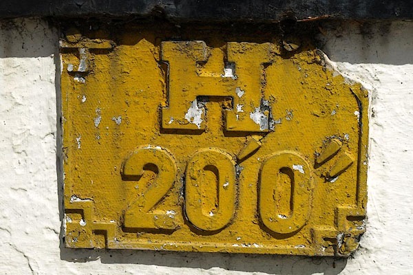
NY26682339 hydrant plate, Keswick (2) (Keswick) |
 |
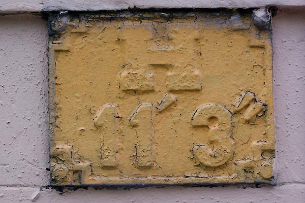
NY26802346 hydrant plate, Keswick (3) (Keswick) |
 |
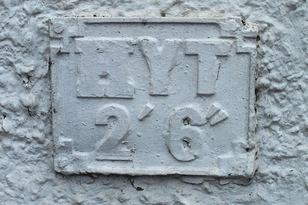
NY27042352 hydrant plate, Keswick (4) (Keswick) |
 |
NY26202383 hydrant plate, Keswick (5) (Keswick) |
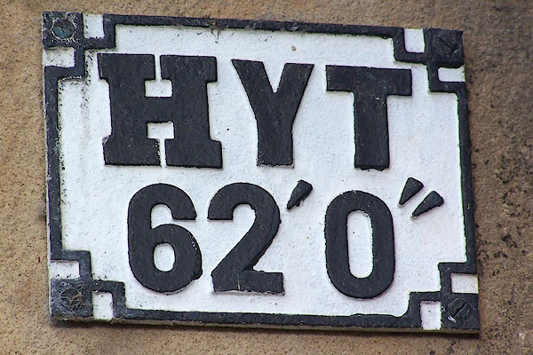 |
NY27062376 hydrant plate, Keswick Station (Keswick) |
 |
NY26192382 Ivy Cottage (Keswick) L not foundout of sight |
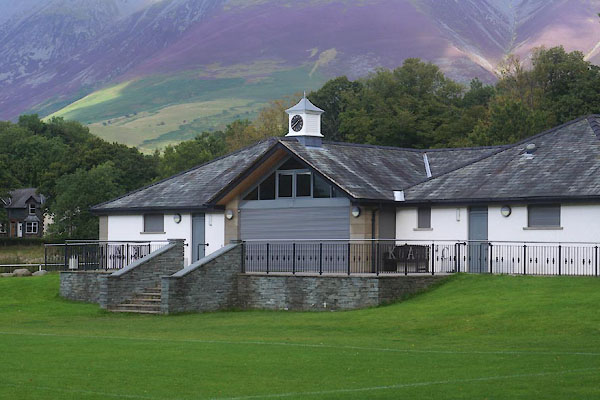 |
NY26572397 Keswick Association Football Club (Keswick) |
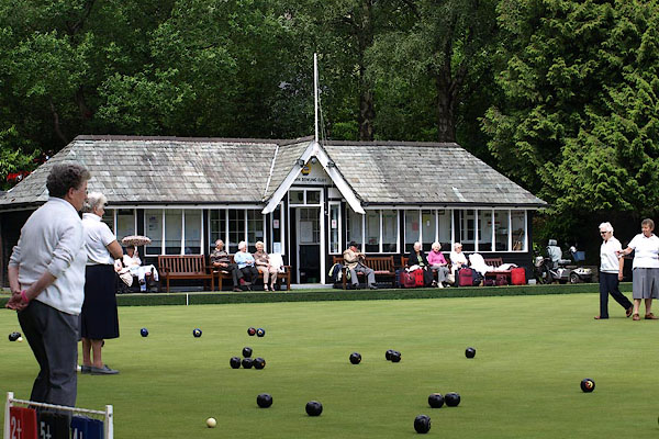 |
NY26952366 Keswick Bowling Club (Keswick) |
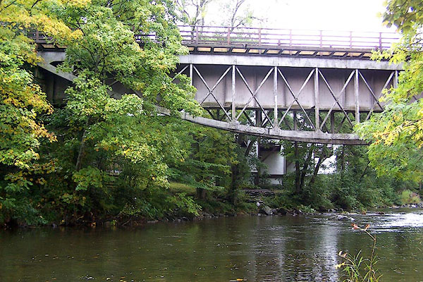 |
NY27342374 Keswick Bridge (Keswick) |
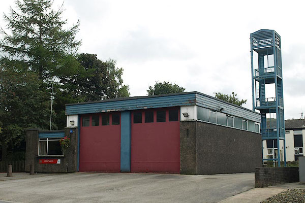 |
NY272236 Keswick Fire Station (Keswick) |
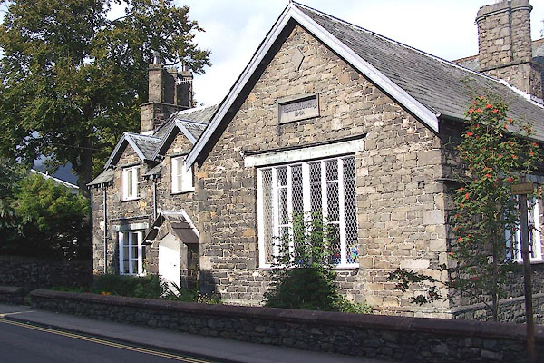 |
NY26822324 Keswick Library (Keswick) |
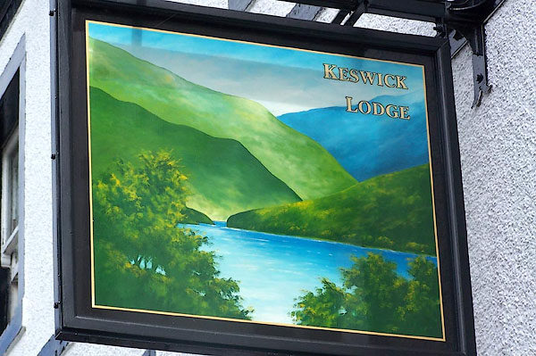 |
NY26682340 Keswick Lodge (Keswick) |
 |
NY27062356 Keswick Mill (Keswick) gone? |
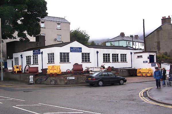 |
NY26652360 Keswick Mining Museum (Keswick) |
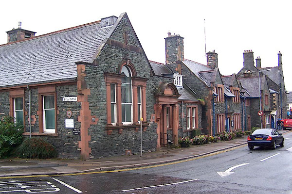 |
NY26592356 Keswick Police Station (Keswick) L |
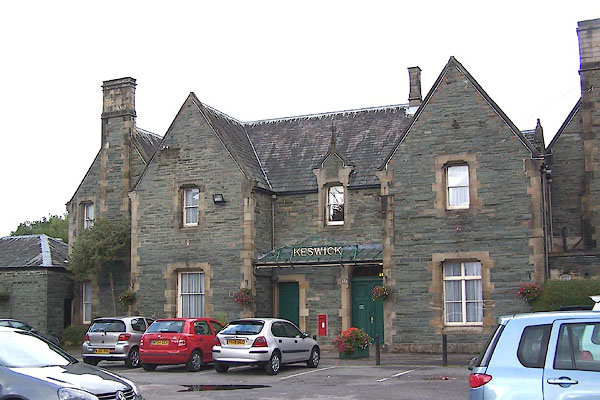 |
NY27062378 Keswick Station (Keswick) L |
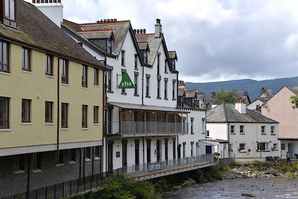 |
NY26762358 Keswick Youth Hostel (Keswick) |
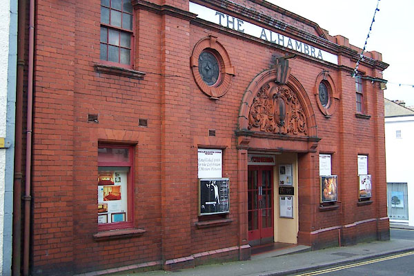 |
NY26762332 Alhambra Cinema (Keswick) |
 |
NY26602346 Banks and Park (Keswick) |
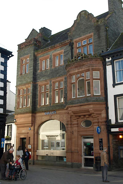 |
NY26652339 Barclays Bank (Keswick) |
 |
NY26642354 Bell Close (Keswick) |
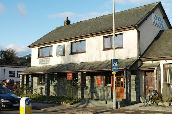 |
NY26672357 Blencathra Stone Craft (Keswick) |
 |
NY270234 Blencathra Street (Keswick) |
 |
NY26692318 Borrowdale Road (Keswick) |
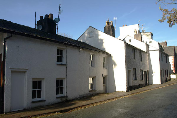 |
NY26692316 Keswick: Borrowdale Road, 10 to 15 (Keswick) L |
 |
NY26702353 Brewery Lane (Keswick) |
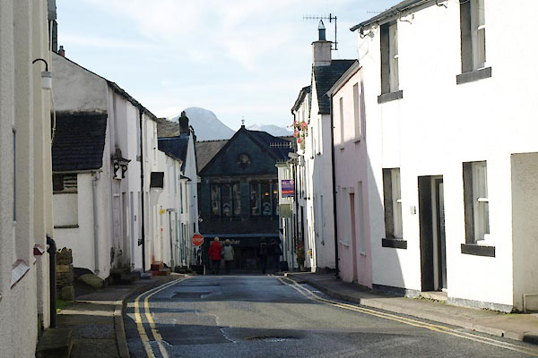 |
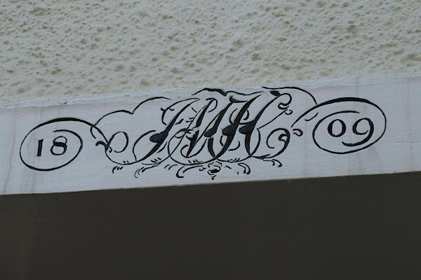
NY26722329 Derwent Street (Keswick) |
 |
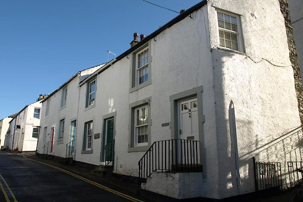
NY26702327 Keswick: Derwent Street, 3 (Keswick) |
 |
NY26712326 Stone Step (Keswick) L |
 |
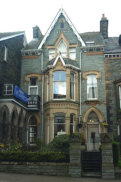
NY26782344 Derwentwater Record (Keswick) |
 |
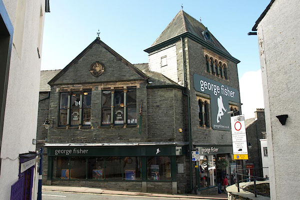
NY26802345 Gallery 26 at 27 (Keswick) |
 |
NY26672326 George Fisher (Keswick) |
 |
NY26732341 Grandy Nook (Keswick) |
 |
NY26992344 Greta Street (Keswick) |
 |
NY26452352 Heads Lane (Keswick) |
 |
NY26502344 Heads Road (Keswick) |
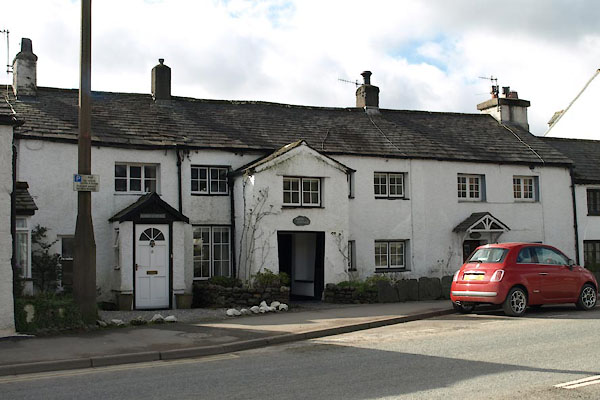 |
NY26182382 Keswick: High Hill, 2 to 6 (Keswick) L |
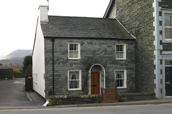 |
NY26122389 Keswick: High Hill, 18 (Keswick) L |
 |
NY26732324 High Street (Keswick) |
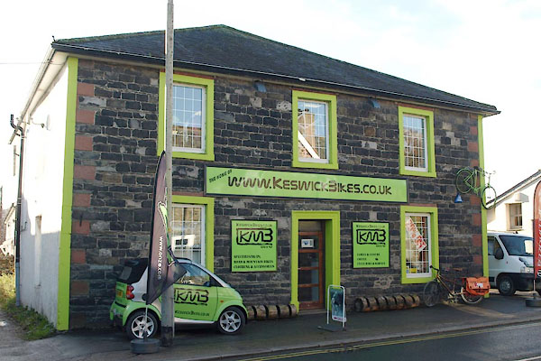 |
NY26342368 Keswick Bikes (Keswick) |
 |
NY26652345 King's Head Yard (Keswick) |
 |
NY26662330 Lake Road (Keswick) |
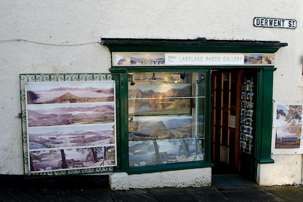 |
NY26692325 Lakeland Photo Gallery (Keswick) |
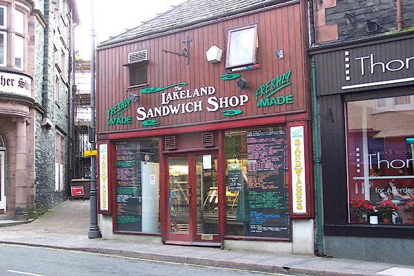 |
NY26722340 Lakeland Sandwich Shop (Keswick) |
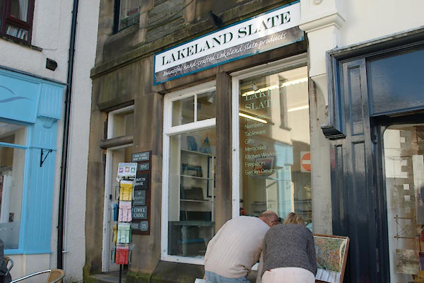 |
NY26662336 Lakeland Slate Co (Keswick) |
 |
NY26842348 Linnet Hill (Keswick) |
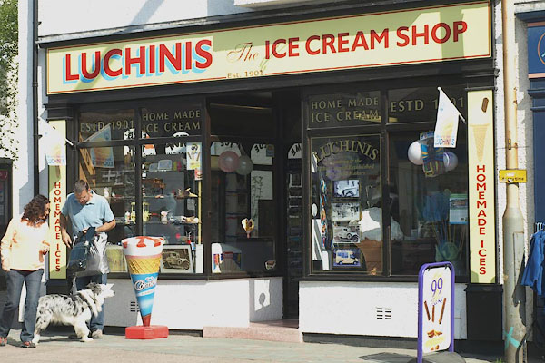 |
NY26432357 Luchini's (Keswick) |
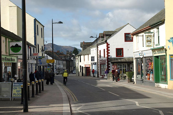 |
NY26452357 Main Street (Keswick) |
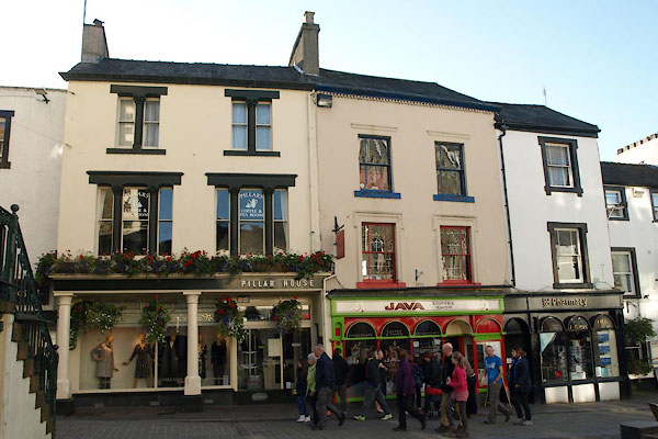 |
NY26612342 Keswick: Main Street, 21 to 25 (Keswick) L |
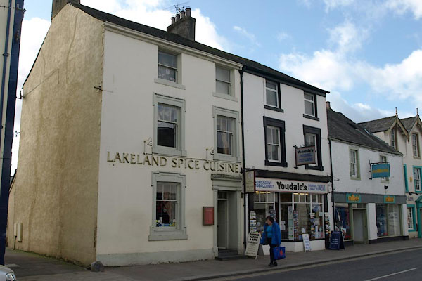 |
NY26452356 Lakeland Spice Cuisine (Keswick) |
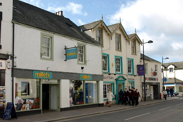 |
NY26442357 Star of Siam (Keswick) L |
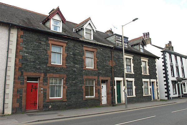 |
NY26382362 Keswick: Main Street, 115 to 121 (Keswick) |
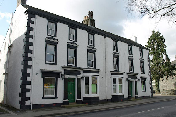 |
NY26362364 Keswick: Main Street, 123 and 125 (Keswick) L |
 |
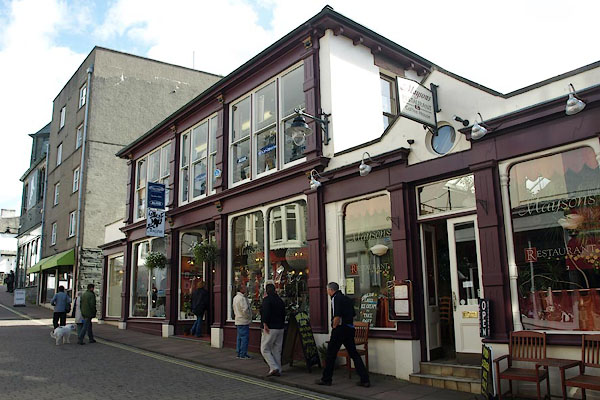
NY26602346 Market Place (Keswick) |
 |
NY26642325 Maysons (Keswick) L |
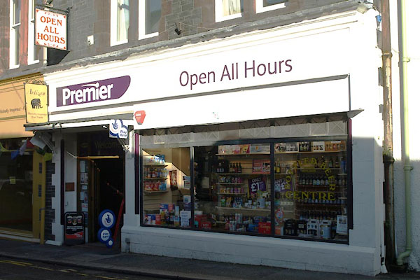 |
NY26742333 Open All Hours (Keswick) |
 |
NY27262365 Penrith Road (Keswick) |
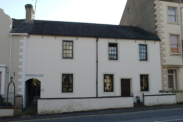 |
NY26822347 Twentyman Court (Keswick) L |
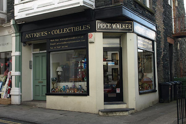 |
NY26702336 Price Walker, antiques (Keswick) |
 |
NY26682344 Shambles (Keswick) |
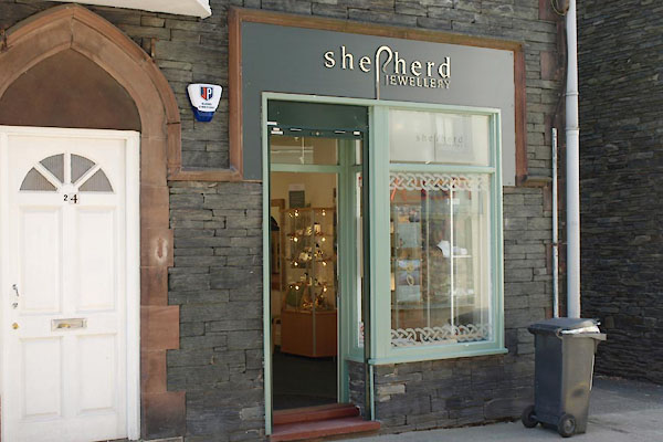 |
NY26692329 Shepherd Jewellery (Keswick) |
 |
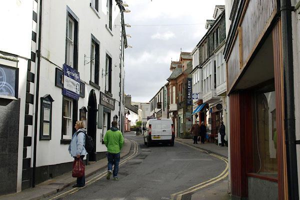
NY26932351 Shorley Croft (Keswick) |
 |
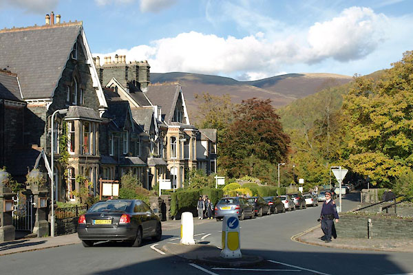
NY26722334 St John's Street (Keswick) |
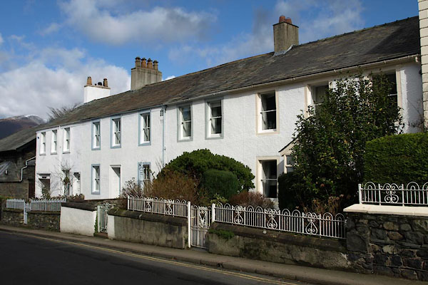 |
NY26782330 Keswick: St John's Street, 17 to 23 (Keswick) L |
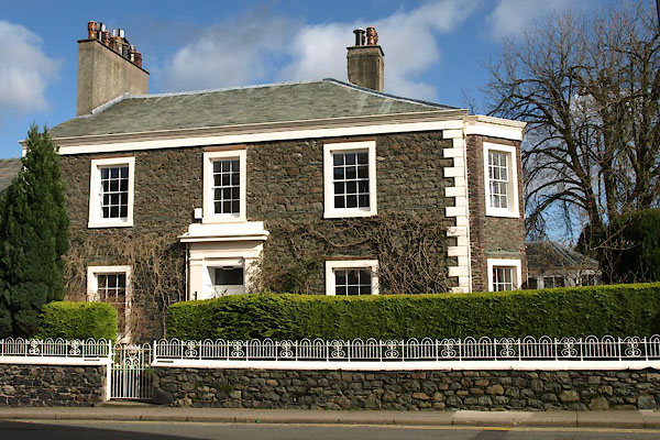 |
NY26802328 Keswick: St John's Street, 25 (Keswick) L |
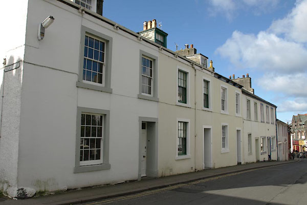 |
NY26772328 Keswick: St John's Street, 36 to 50 (Keswick) L |
 |
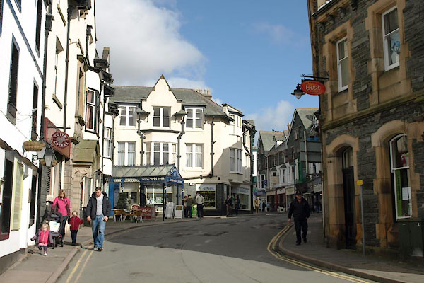
NY26892363 Station Road (Keswick) |
 |
NY26792347 Station Street (Keswick) |
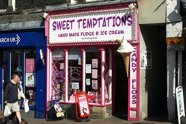 |
NY26612347 Sweet Temptation (Keswick) |
 |
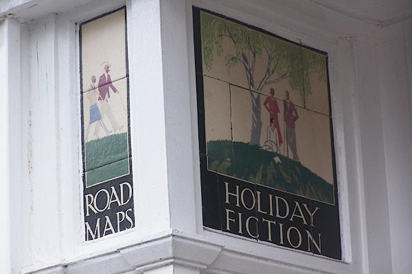
NY26732325 Union Street (Keswick) |
 |
NY26762344 W H Smiths (Keswick) |
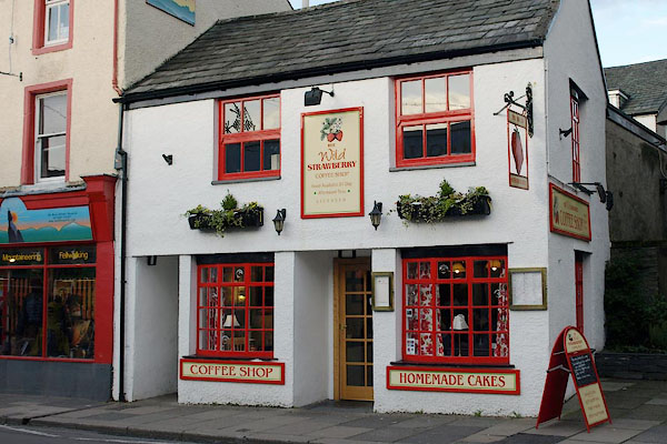 |
NY26532355 Wild Strawberry, The (Keswick) |
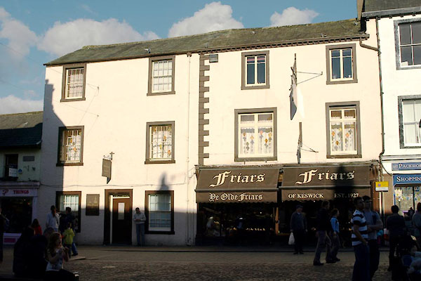 |
NY26652343 Olde Friars, Ye (Keswick) L |
 |
NY25672349 Kiddams (Keswick) |
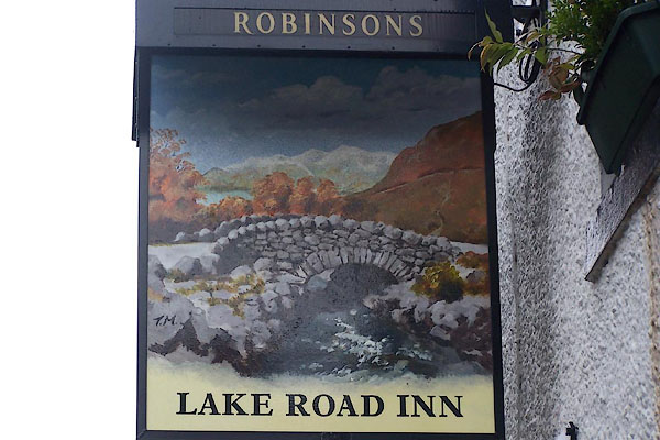 |
NY26662336 Lake Road Inn (Keswick) |
 |
NY27672316 Larch House (Keswick) |
 |
NY27972317 Lonsties (Keswick) |
 |
NY27502364 Low Brigham (Keswick) |
 |
NY27552389 Lydia's Cottages (Keswick) |
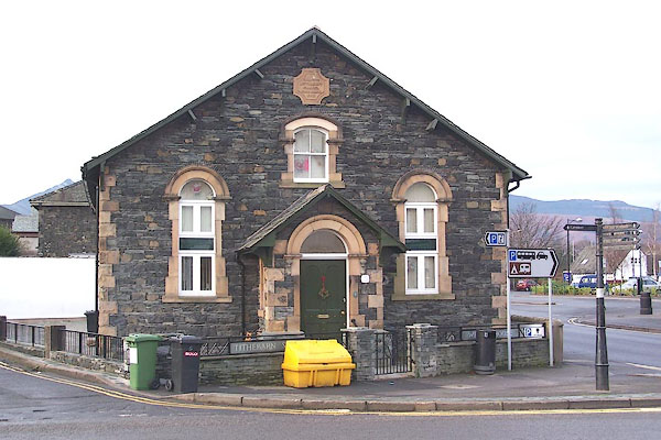
 |
NY268233 Keswick Meeting House (Keswick) |
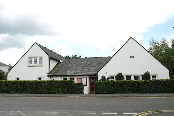 |
NY26262354 Keswick Meeting House (Keswick) |
 |
NY26382353 Primitive Methodist Chapel (Keswick) |
 |
NY26352380 mill, Keswick (Keswick) gone |
 |
NY26662369 mill, Keswick (2) (Keswick) gone |
 |
NY27182359 Millfield House (Keswick) |
 |
NY26452408 Monk Hall (Keswick) gone |
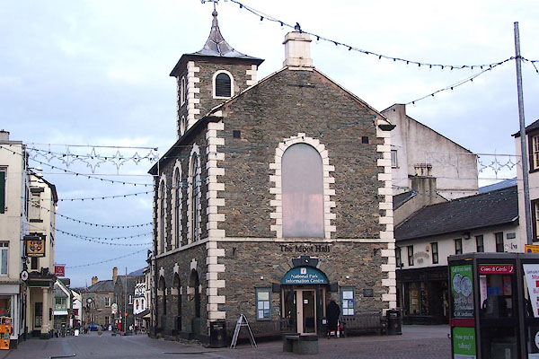 |
NY26632343 Moot Hall (Keswick) L |
 |
NY2623 Keswick Mountain Rescue Team () |
 |
NY27872368 Nether Place (Keswick) |
 |
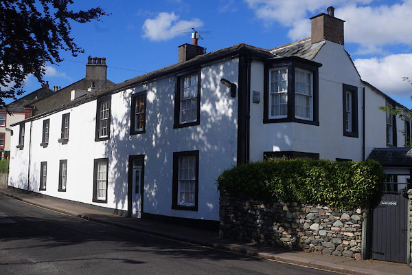
NY26952314 Oak Apple House (Keswick) |
 |
NY26922315 Oak Cottage (Keswick) L |
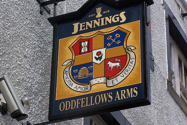 |
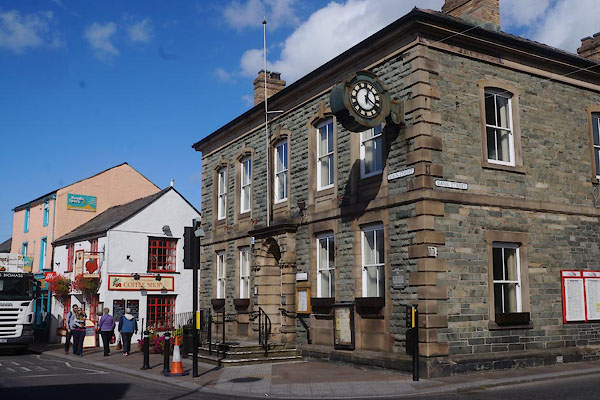
NY26632343 Oddfellows Arms (Keswick) L |
 |
NY26542354 office, Keswick (Keswick) |
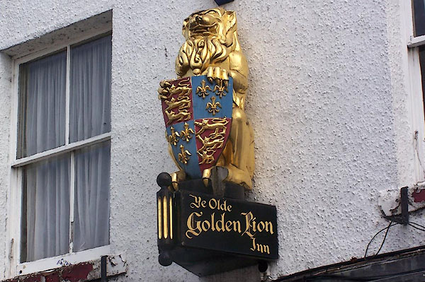 |
NY26602346 Olde Golden Lion Inn, Ye (Keswick) |
 |
NY26982353 Otley's Well (Keswick) |
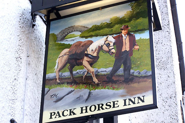 |
NY26672343 Pack Horse Inn (Keswick) L |
 |
NY26852311 Parsonage, The (Keswick) |
 |
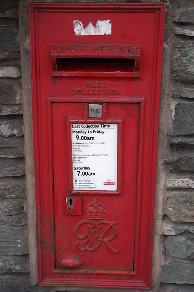
NY26952325 post box, Keswick (Keswick) |
 |
NY26362366 post box, Keswick (2) (Keswick) |
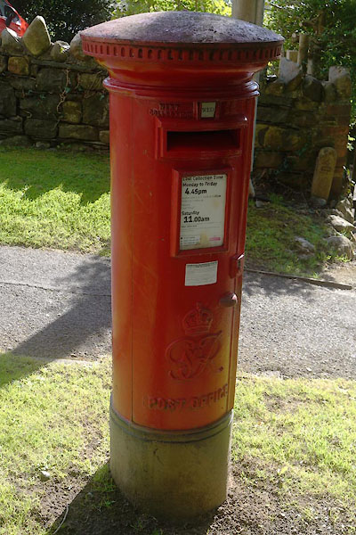 |
NY27242307 post box, Keswick (3) (Keswick) |
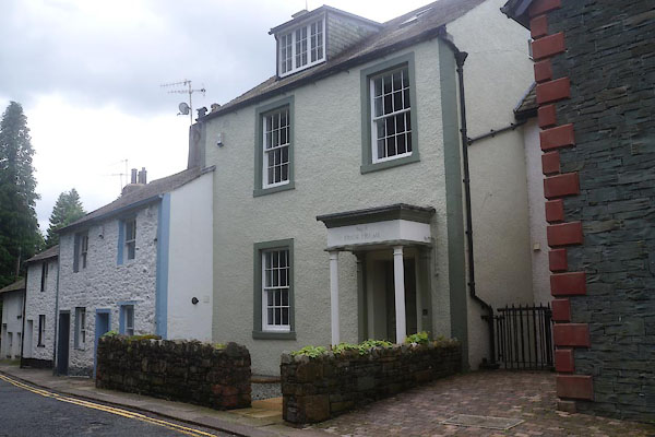 |
NY26692317 Prior Holme (Keswick) L |
 |
NY26332302 Keswick Race Ground (Keswick) |
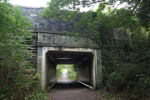 |
NY27852381 railway bridge, Keswick (Keswick) |
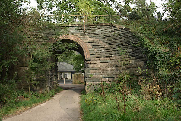 |
NY27422371 railway bridge, Keswick (2) (Keswick) |
 |
NY27352373 railway bridge, Keswick (3) (Keswick) |
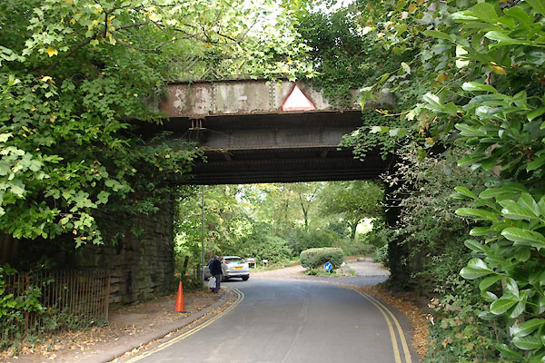 |
NY27162377 railway bridge, Keswick (4) (Keswick) |
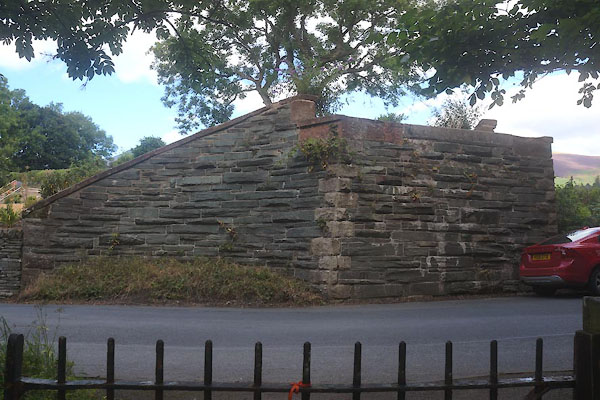 |
NY26592415 railway bridge, Keswick (5) (Keswick) |
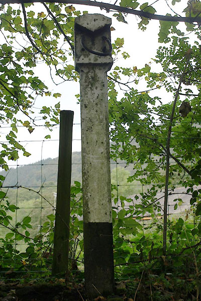 |
NY27832381 railway milepost, Keswick (Keswick) |
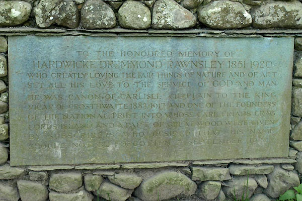 |
NY26382243 Rawnsley Memorial (Keswick) |
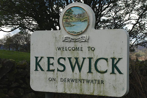 |
NY28702370 roadsign, Keswick (Keswick) |
 |
NY2623 roman fort, Keswick (Keswick) suggested |
 |
NY27532382 Row, The (Keswick) |
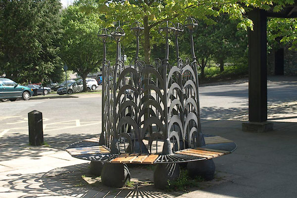 |
NY26482289 seat, Keswick (Keswick) |
 |
NY27782306 Sheepclose Plantation (Keswick) |
 |
NY27002352 Shorley Croft (Keswick) gone |
 |
NY28092355 spring, Keswick (Keswick) |
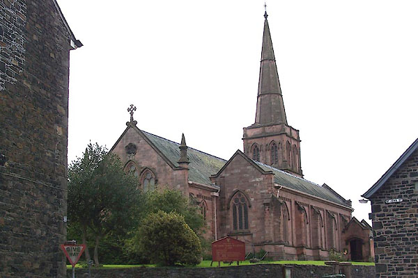 |
NY26782317 St John's Church (Keswick) L |
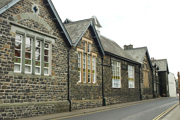 |
NY26792324 St John's School (Keswick) |
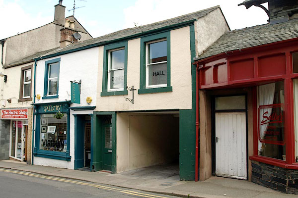 |
NY26772332 St John's Street Hall (Keswick) |
 |
NY26802355 tanyard, Keswick (Keswick) gone |
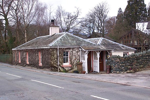 |
NY27442381 Toll Bar Cottage (Keswick) L |
 |
NY26922314 toll gate, Keswick (2) (Keswick) |
 |
NY26082298 Town Cass (Keswick) |
 |
NY268235 Upper Fitz Park pencil works (Keswick) |
 |
NY26352305 station, Otley 5 (Keswick) |
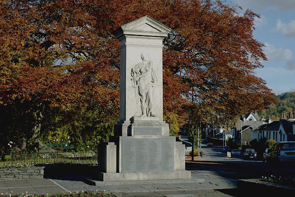 |
NY26812349 war memorial, Keswick (Keswick) |
 |
NY26712341 war memorial, Royal Oak (Keswick) |
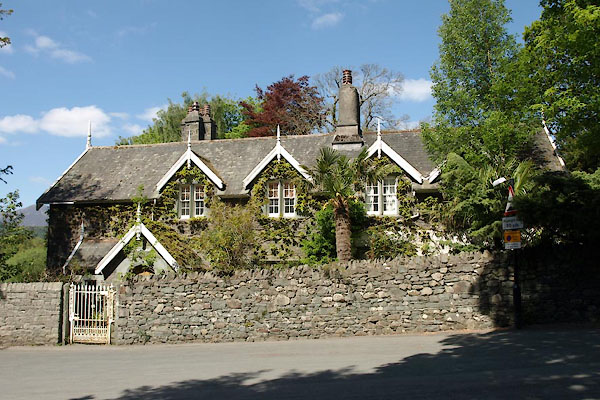 |
NY26432282 Water Edge, The (Keswick) |
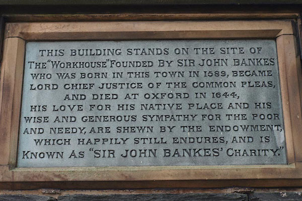 |
NY26562352 Keswick Workhouse (Keswick) |
 |
NY27032352 Wren Villa (Keswick) |
 |
NY27142359 Wren's Mill (Keswick) gone |
 |
NY2723 bridge, Keswick (3) (Keswick) suggested |
 |
NY26472320 Hope Park (Keswick) |
 |
NY2623 Abrahams (Keswick) |
 |
NY2623 Reliance Printing Works (Keswick) |
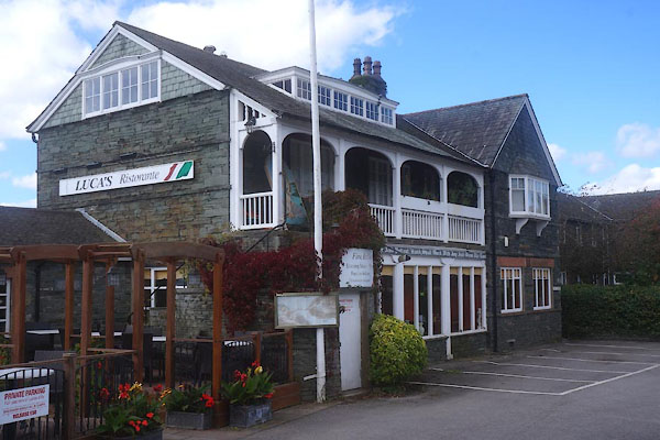 |
NY26252375 Luca's Ristorante (Keswick) L |
 |
NY264236 Albion Hotel (Keswick) |
 |
NY265229 Belle Vue (Keswick) |
 |
NY2623 Derwent Lake Hotel (Keswick) |
 |
NY267234 Fisher's Temperance Hotel (Keswick) |
 |
NY270234 Grosvenor Boarding House (Keswick) |
 |
NY26562348 Keswick Cycle Depot and Motor Garage (Keswick) |
 |
NY267234 J Johnston tailor (Keswick) |
 |
NY26572347 Keswick: Main Street, 38 (Keswick) |
 |
NY2623 Mayson's Auctioneering (Keswick) |
 |
NY267236 Miss Hawell, baker (Keswick) |
 |
NY265229 Mrs Mayo, bookseller (Keswick) |
 |
NY268236 Mikado Cafe (Keswick) |
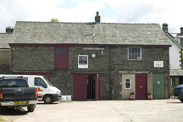 |
NY26742357 Old Brewery, The (Keswick) |
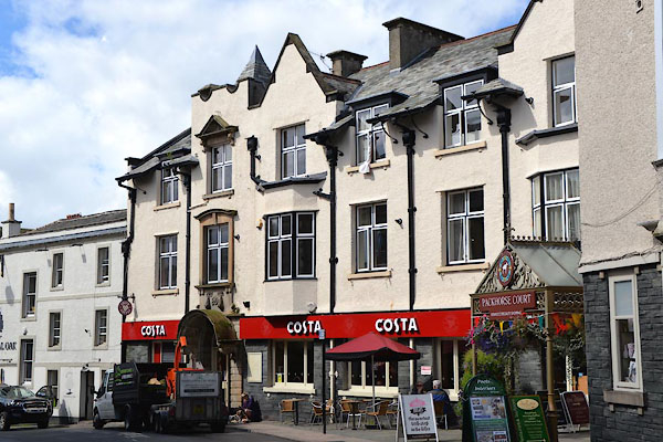 |
NY26712342 Royal Oak (Keswick) L |
 |
NY265235 Skiddaw Temperance Hotel (Keswick) |
 |
NY267233 Temperance Hotel (Keswick) |
 |
NY26662339 A Furnace jeweller (Keswick) |
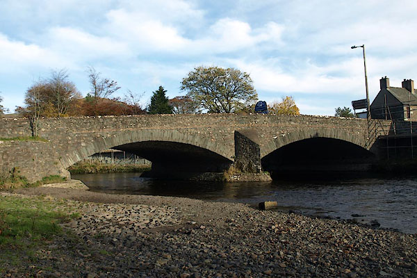 |
NY26302374 Greta Bridge (Keswick) |
 |
NY2623 Art Gallery, The (Keswick) |
 |
NY2623 Blencathra Temperance Hotel (Keswick) |
 |
NY2623 Derwentwater Lake Hotel (Keswick) |
 |
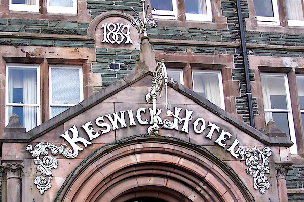
NY26642371 Greta Pencil Works (Keswick) gone |
 |
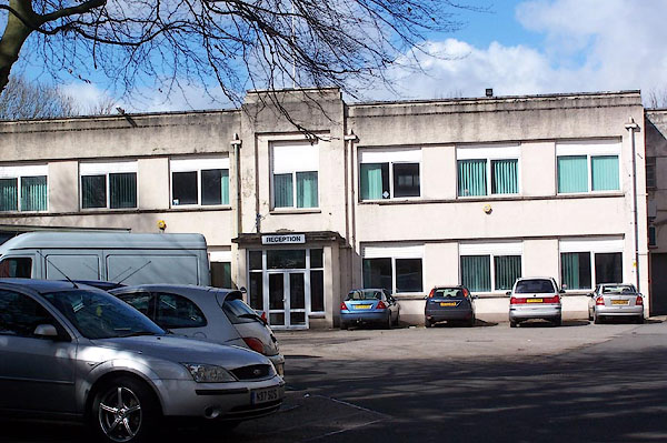
NY27082373 Keswick Hotel (Keswick) |
 |
NY263238 Southey Works (Keswick) |
 |
NY2623 Youghusband's Temperance Hotel (Keswick) |
 |
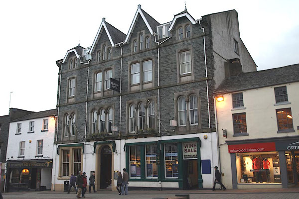
NY26372227 Friar's Crag (Keswick) |
 |
NY26622345 Queen's Hotel (Keswick) |
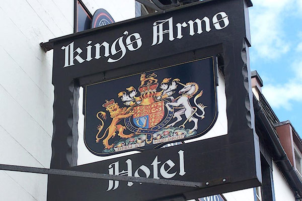 |
NY26612344 King's Arms Hotel (Keswick) |
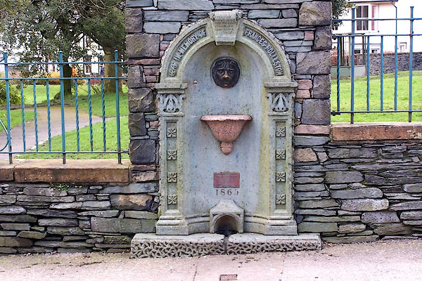 |
NY26832353 Frances Rolleston Fountain (Keswick) |
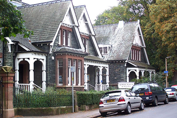 |
NY26912370 Keswick Museum (Keswick) |
 |
NY26642345 Jonathan Otley's up t'steps (Keswick) |
 |
NY2623 J Telford (Keswick) |
 |
NY26972267 station, Otley 1 (Keswick) |
 |
NY26402269 landing stage, Keswick (Keswick) |
