 Old Cumbria Gazetteer
 |
 |
|
| Brow Top, Keswick | ||
| Brow Top | ||
| Street:- | Ambleside Road | |
| locality:- | Keswick | |
| civil parish:- | Keswick (formerly Cumberland) | |
| county:- | Cumbria | |
| locality type:- | buildings | |
| coordinates:- | NY27332305 (estimate) | |
| 1Km square:- | NY2723 | |
| 10Km square:- | NY22 | |
| references:- | OS County Series |
|
|
|
||
| evidence:- | old map:- OS County Series (Cmd 64 6) placename:- Browtop |
|
| source data:- | Maps, County Series maps of Great Britain, scales 6 and 25
inches to 1 mile, published by the Ordnance Survey, Southampton,
Hampshire, from about 1863 to 1948. |
|
|
|
||
| evidence:- | old map:- Donald 1774 (Cmd) placename:- Brow Top |
|
| source data:- | Map, hand coloured engraving, 3x2 sheets, The County of Cumberland, scale about 1
inch to 1 mile, by Thomas Donald, engraved and published by Joseph Hodskinson, 29
Arundel Street, Strand, London, 1774.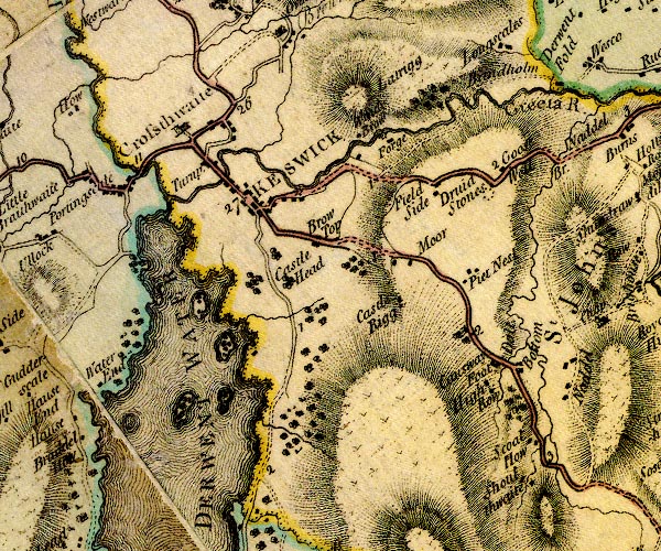 D4NY22SE.jpg "Brow Top" block or blocks, labelled in lowercase; a hamlet or just a house item:- Carlisle Library : Map 2 Image © Carlisle Library |
|
|
|
||
| evidence:- | old map:- Crosthwaite 1783-94 (Der) placename:- Brow Top |
|
| source data:- | Map, uncoloured engraving, An Accurate Map of the Matchless Lake
of Derwent, ie Derwent Water, scale about 3 inches to 1 mile, by
Peter Crosthwaite, Keswick, Cumberland, 1783, version published
1800.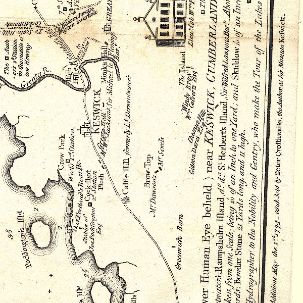 CT2NY22Q.jpg "Brow Top / Mr. Dawson's / Mr. Sewel's" Two houses are shown. item:- Armitt Library : 1959.191.3 Image © see bottom of page |
|
|
|
||
| evidence:- | old map:- Clarke 1787 map (Der) placename:- Brow Top |
|
| source data:- | Map, uncoloured engraving, Map of Derwentwater and its Environs,
scale about 13 ins to 1 mile, by James Clarke, engraved by S J
Neele, published by James Clarke, Penrith, Cumberland and in
London etc, 1787.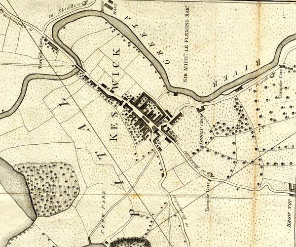 CL152623.jpg "BROW TOP" buildings item:- private collection : 169 Image © see bottom of page |
|
|
|
||
| evidence:- | probably old map:- Clarke 1787 map (Ambleside to Keswick) placename:- Brow Top |
|
| source data:- | Map, A Map of the Roads Lakes etc between Keswick and Ambleside,
scale about 2.5 ins to 1 mile, by James Clarke, engraved by S J
Neele, 352 Strand, published by James Clarke, Penrith,
Cumberland and in London etc, 1787.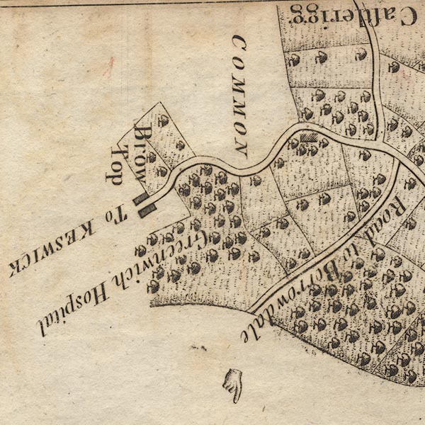 CL9NY22Q.jpg "Brow Top" item:- private collection : 10.9 Image © see bottom of page |
|
|
|
||
| evidence:- | old print:- Farington 1816 (plate 17) placename:- Brough Top |
|
| source data:- | Print, uncoloured engraving, Derwentwater from Brough Top, Cumberland, drawn by Joseph
Farington, engraved by F R Hay, published by T Cadell and W Davies, Strand, London,
1815.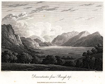 click to enlarge click to enlargePR0450.jpg Plate 17 in The Lakes of Lancashire, Westmorland, and Cumberland. printed at bottom left, right, centre:- "Drawn by J. Farington. / Engraved by F. R. Hay. / Derwentwater from Brough-top. / London, Published Septr. 15, 1815, by T. Cadell &W. Davies, Strand." item:- private collection : 114 Image © see bottom of page |
|
|
|
||
 Lakes Guides menu.