Old Cumbria Gazetteer
 |
 |
|
||
| Windermere | ||||
| civil parish:- | Windermere (formerly Westmorland) | |||
| county:- | Cumbria | |||
| locality type:- | locality | |||
| locality type:- | buildings | |||
| locality type:- | selected place | |||
| locality type:- | twinned town | |||
| coordinates:- | SD41219834 (etc) | |||
| 1Km square:- | SD4198 | |||
| 10Km square:- | SD49 | |||
| latitude; longitude:- | 2d 54.3m W; 54d 22.7m N | |||
|
|
||||
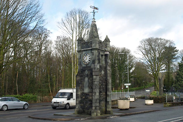
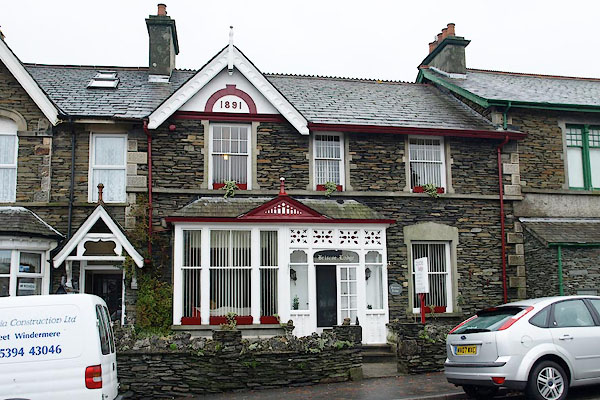
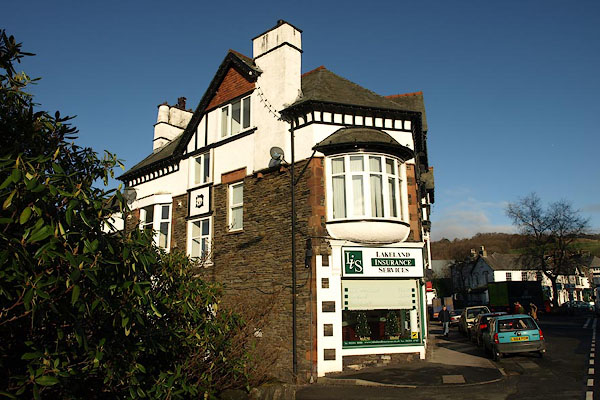
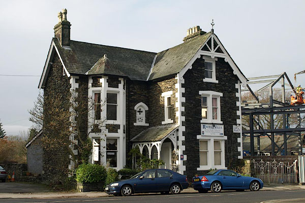
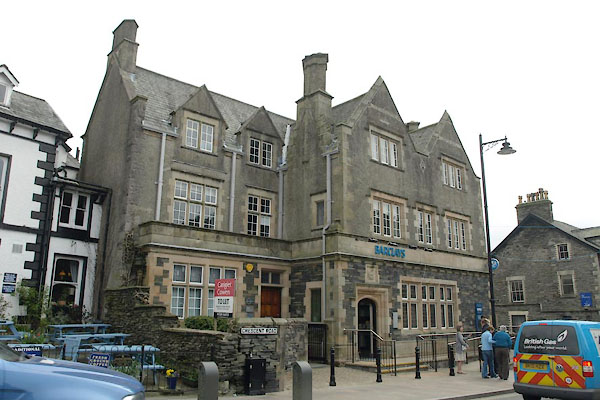
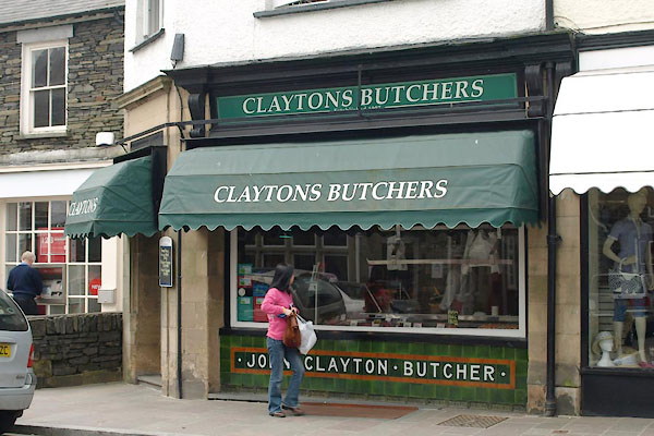
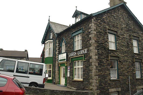
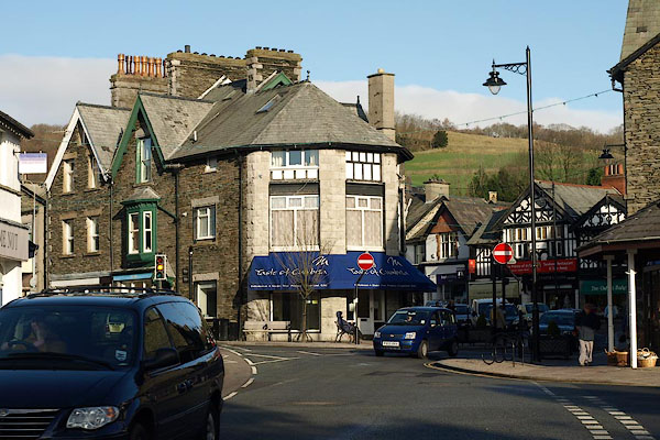 BRY01.jpg Shops and traffic. (taken 30.11.2009) 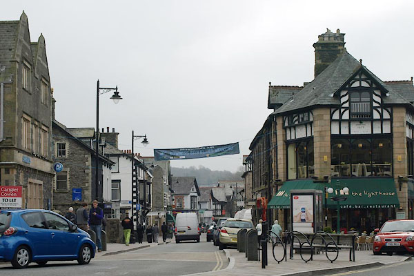 BWE15.jpg Crescent Road. (taken 30.3.2012) |
||||
|
|
||||
| evidence:- | old map:- OS County Series (Wmd 32 8) |
|||
| source data:- | Maps, County Series maps of Great Britain, scales 6 and 25
inches to 1 mile, published by the Ordnance Survey, Southampton,
Hampshire, from about 1863 to 1948. |
|||
|
|
||||
| evidence:- | old map:- Saxton 1579 placename:- Wynandermere |
|||
| source data:- | Map, hand coloured engraving, Westmorlandiae et Cumberlandiae Comitatus ie Westmorland
and Cumberland, scale about 5 miles to 1 inch, by Christopher Saxton, London, engraved
by Augustinus Ryther, 1576, published 1579-1645.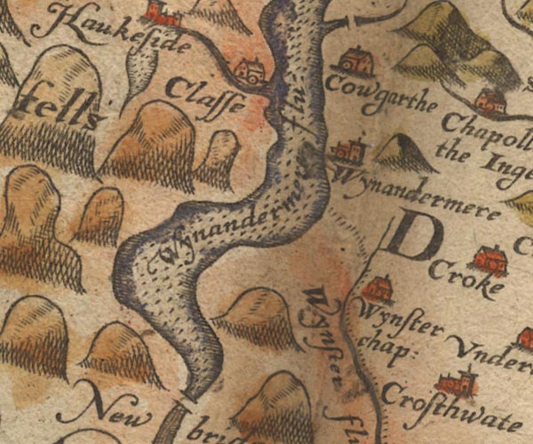 Sax9SD39.jpg Church, symbol for a parish or village, with a parish church. "Wynandermere" Settlement. item:- private collection : 2 Image © see bottom of page |
|||
|
|
||||
| evidence:- | old map:- Mercator 1595 (edn?) placename:- Winandermere |
|||
| source data:- | Map, hand coloured engraving, Westmorlandia, Lancastria, Cestria
etc, ie Westmorland, Lancashire, Cheshire etc, scale about 10.5
miles to 1 inch, by Gerard Mercator, Duisberg, Germany, 1595,
edition 1613-16. MER5WmdA.jpg "Winandermere" circle item:- Armitt Library : 2008.14.3 Image © see bottom of page |
|||
|
|
||||
| evidence:- | old map:- Keer 1605 placename:- Wynandemene |
|||
| source data:- | Map, hand coloured engraving, Westmorland and Cumberland, scale
about 16 miles to 1 inch, probably by Pieter van den Keere, or
Peter Keer, about 1605 edition perhaps 1676. click to enlarge click to enlargeKER8.jpg "Wyna~demene" dot, circle and tower; village item:- Dove Cottage : 2007.38.110 Image © see bottom of page |
|||
|
|
||||
| evidence:- | old map:- Jenner 1643 placename:- Wynandemene |
|||
| source data:- | Table of distances, with map, hand coloured engraving,
Westmerland ie Westmorland, scale about 16 miles to 1 inch,
engraved by Jacob van Langeren, published by Thomas Jenner,
Cornhill, London, 1643.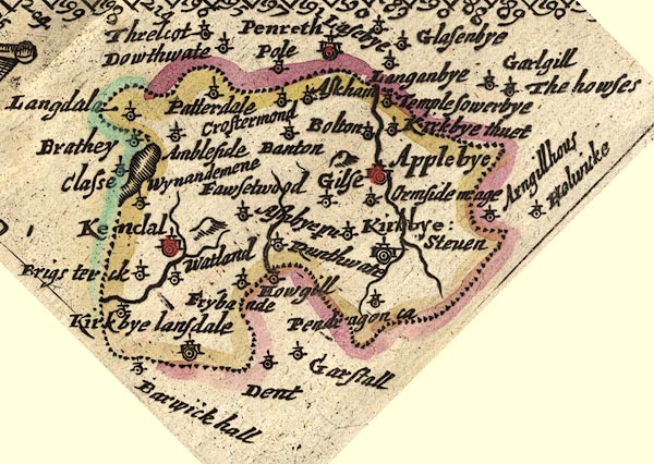 JEN3Sq.jpg "Wynandemene" dot, circle, tower item:- private collection : 52.Wmd Image © see bottom of page |
|||
|
|
||||
| evidence:- | old map:- Jansson 1646 placename:- Wynandermere |
|||
| source data:- | Map, hand coloured engraving, Cumbria and Westmoria, ie
Cumberland and Westmorland, scale about 3.5 miles to 1 inch, by
John Jansson, Amsterdam, Netherlands, 1646.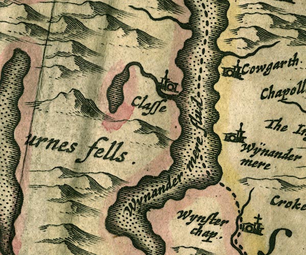 JAN3SD39.jpg "Wÿnandermere" Buildings and tower. item:- JandMN : 88 Image © see bottom of page |
|||
|
|
||||
| evidence:- | old map:- Berry 1679 placename:- Winandermere |
|||
| source data:- | Road map, diagram, The Grand Roads of England, engraved by John
Rich, made and published by William Berry, at the Sign of the
Globe, London, 1679. "Winandermere" |
|||
|
|
||||
| evidence:- | old map:- Badeslade 1742 placename:- Winander Meer |
|||
| source data:- | Map, uncoloured engraving, A Map of Westmorland North from
London, scale about 10 miles to 1 inch, with descriptive text,
by Thomas Badeslade, London, engraved and published by William
Henry Toms, Union Court, Holborn, London, 1742. click to enlarge click to enlargeBD12.jpg "Winander Meer" circle, italic lowercase text; village, hamlet or locality item:- Dove Cottage : 2007.38.62 Image © see bottom of page |
|||
|
|
||||
| evidence:- | old map:- Simpson 1746 map (Wmd) placename:- Minander Mere |
|||
| source data:- | Map, uncoloured engraving, Westmorland, scale about 8 miles to 1
inch, printed by R Walker, Fleet Lane, London, 1746.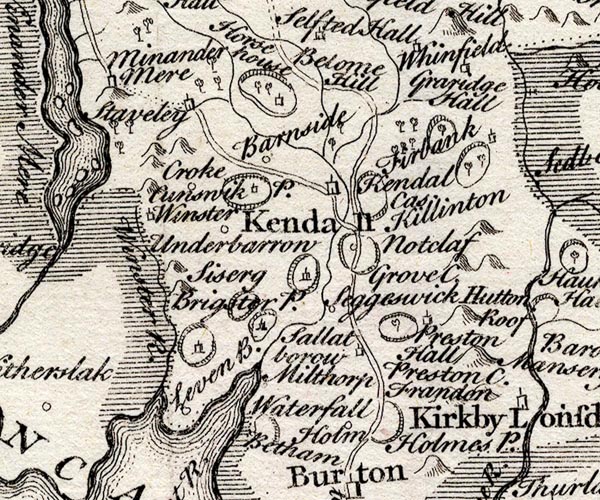 SMP2SDP.jpg "Minander Mere" Building. item:- Dove Cottage : 2007.38.59 Image © see bottom of page |
|||
|
|
||||
| evidence:- | old map:- Jefferys 1770 |
|||
| source data:- | Map, 4 sheets, The County of Westmoreland, scale 1 inch to 1
mile, surveyed 1768, and engraved and published by Thomas
Jefferys, London, 1770.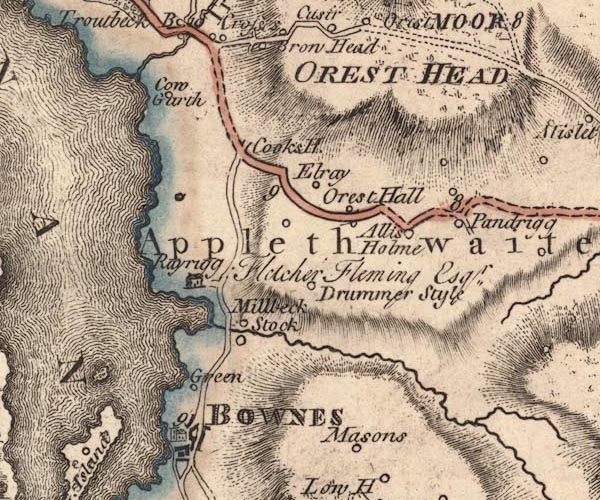 JEF5Wndr.jpg No settlement shown item:- National Library of Scotland : EME.s.47 Image © National Library of Scotland |
|||
|
|
||||
| evidence:- | descriptive text:- West 1778 (11th edn 1821) |
|||
| source data:- | Guide book, A Guide to the Lakes, by Thomas West, published by
William Pennington, Kendal, Cumbria once Westmorland, and in
London, 1778 to 1821. Addendum; Mr Gray's Journal, 1769  goto source goto sourcePage 212:- "..." "I now reached Ambleside, ... meaning to lie there; but on looking into the best bed-chamber, dark and damp as a cellar, grew delicate, gave up Windermere in despair, and resolved I would go on to Kendal directly, fourteen miles further ..." |
|||
|
|
||||
| evidence:- | old text:- Camden 1789 placename:- Winander Mere |
|||
| source data:- | Book, Britannia, or A Chorographical Description of the Flourishing Kingdoms of England,
Scotland, and Ireland, by William Camden, 1586, translated from the 1607 Latin edition
by Richard Gough, published London, 1789. goto source Page 132:- "... Winander mere, ... has a small village of its own name on it, where A.D. 792, Eathred king of Northumberland slew the sons of king Elfwold, whom he had forced from York to establish himself on the throne by his own wickedness and their blood." |
|||
|
|
||||
| evidence:- | old text:- Camden 1789 (Gough Additions) placename:- Wornvaldremere |
|||
| source data:- | Book, Britannia, or A Chorographical Description of the Flourishing Kingdoms of England,
Scotland, and Ireland, by William Camden, 1586, translated from the 1607 Latin edition
by Richard Gough, published London, 1789. goto source Page 142:- "..." "The murder ascribed to Ethred in Wornvaldremere A.D. 791, is doubted, because he was himself one of king Elfwold's sons." |
|||
|
|
||||
 Gents Mag 1804 Gents Mag 1804 |
||||
|
|
||||
| evidence:- | old text:- Capper 1808 placename:- Winandermere placename:- Windermere item:- population |
|||
| source data:- | Gazetteer, A Topographical Dictionary of the United Kingdom,
compiled by Benjamin Pitts Capper, published by Richard
Phillips, Bridge Street, Blackfriars, London, 1808; published
1808-29. goto source "..." "WINANDERMERE, or WINDERMERE, a parish in Kendal ward, Westmoreland, taking its name from a noted lake of the same name, lying on the western borders of the county, at the foot of the Furness fells, and comprehends the 3 townships of Applethwaite, Troutbeck, Undermilbeck, and a part of Ambleside; the whole containing 1500 inhabitants, with the hamlet of Bowness, included in Undermilbeck, which see. ... It is a rectory, value 24l. 6s. 8d. - Housman's Tour to the Lakes." "..." "UNDERMILBECK, a township in the parish of Windermere, Kendal ward, Westmoreland, 7½miles from Kendal and 267 from London; containing 119 houses and 500 inhabitants. In this town stands the church ..." "..." |
|||
|
|
||||
| evidence:- | old map:- Greenwood 1824 (Wmd) |
|||
| source data:- | Map, hand coloured engraving, Map of the County of Westmorland,
scale about 1 inch to 1 mile, by C and J Greenwood, published by
George Pringle jnr, 70 Queen Street, Cheapside, London, 1824.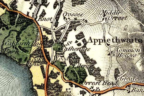 grw5wndr.jpg there is no Windermere, just the area of Applethwaite. item:- Armitt Library : A1827 Image © see bottom of page |
|||
|
|
||||
| evidence:- | old text:- Gents Mag |
|||
| source data:- | Magazine, The Gentleman's Magazine or Monthly Intelligencer or
Historical Chronicle, published by Edward Cave under the
pseudonym Sylvanus Urban, and by other publishers, London,
monthly from 1731 to 1922. goto source Gentleman's Magazine 1825 part 1 p.414 From the Compendium of County History:- "791. Ethred slew Elf and Edwin, sons of Elfwald at Winandermere." |
|||
|
|
||||
| evidence:- | old text:- Gents Mag 1825 |
|||
| source data:- | goto source Gentleman's Magazine 1825 part 1 p.514 From the Compendium of County History:- "Walker, Adam, natural and experimental philosopher, Windermere." |
|||
|
|
||||
| evidence:- | old map:- Garnett 1850s-60s H placename:- Windermere |
|||
| source data:- | Map of the English Lakes, in Cumberland, Westmorland and
Lancashire, scale about 3.5 miles to 1 inch, published by John
Garnett, Windermere, Westmorland, 1850s-60s.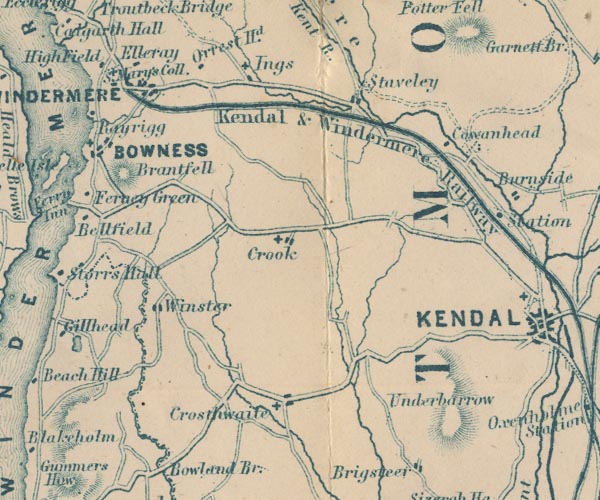 GAR2SD49.jpg "WINDERMERE" blocks, settlement, and a cross, a church item:- JandMN : 82.1 Image © see bottom of page |
|||
|
|
||||
| Martineau Directory 1855 |
||||
|
|
||||
| evidence:- | old text:- Martineau 1855 item:- post office |
|||
| source data:- | Guide book, A Complete Guide to the English Lakes, by Harriet
Martineau, published by John Garnett, Windermere, Westmorland,
and by Whittaker and Co, London, 1855; published 1855-76. goto source Page 3:- "A few years ago there was only one meaning to the word WINDERMERE. It then meant a lake lying among mountains, and so secluded that it was some distinction even for the travelled man to have seen it. Now, there is a Windermere railway station, and a Windermere post-office and hotel;- a thriving village of Windermere and a populous locality. This implies that a great many people come to the spot; and the spot is so changed by their coming, and by other circumstances, that a new guide book is wanted; for there is much more to point out than there used to be; and what used to be pointed out now requires a wholly new description. Such new guidance and description we now propose to give." "The traveller arrives, we must suppose, by the railway from Kendal, having been dropped at the Oxenholme Junction by the London train from the south, or the Edinburgh and Carlisle train from the north." "..." |
|||
|
|
||||
| evidence:- | old text:- Martineau 1855 |
|||
| source data:- | Guide book, A Complete Guide to the English Lakes, by Harriet
Martineau, published by John Garnett, Windermere, Westmorland,
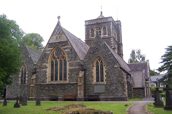
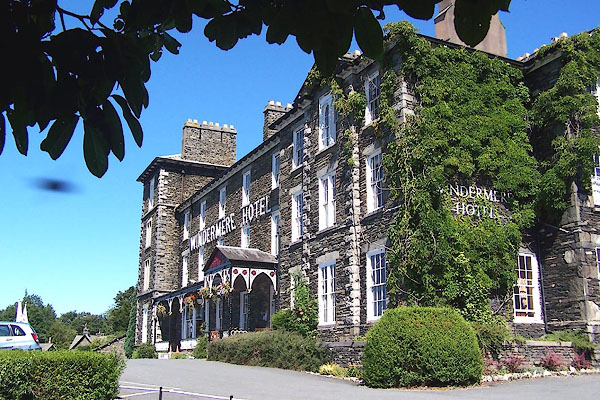
and by Whittaker and Co, London, 1855; published 1855-76. goto source Page 8:- "The village of Windermere is like nothing that is to be seen any where else. The new buildings (and all are new) are of the dark grey stone of the region, and are for the most part of a medieval style of architecture. The Rev. J. A. Addison, of Windermere, has a passion for ecclesiastical architecture; and his example has been a good deal followed. There is the little church of St. Mary, and there are the schools belonging to it, with their steep roofs of curiously-shaped slates and there is St. Mary's Abbey, (new, in spite of its antique name), and St. Mary's Cottage. And there will be the new college of St. Mary, standing in a fine position, between the main road and the descent to the lake. ..." |
|||
|
|
||||
| evidence:- | old text:- Martineau 1855 |
|||
| source data:- | Guide book, A Complete Guide to the English Lakes, by Harriet
Martineau, published by John Garnett, Windermere, Westmorland,
and by Whittaker and Co, London, 1855; published 1855-76. goto source Page 9:- "There are villas on either side the road, on almost every favourable spot, all the way to Bowness. The road past the college grounds leaves the other one to be called by the inevitable title of 'the old road.' We pass rows of lodging-houses; and then we see to the right the spot where the college is to be: and to the left Ellerthwaite, the residence of Mr. Geo. H. Gardner; and then, to the right, the cottage of Mylnbeck, the residence of the Misses Watson, daughters of the late bishop of Llandaff: a common house in its aspect towards the road, but, as seen over the wall, very pretty in its garden-front. The next gate on the left is the entrance to the Craig, built by Sir Thomas Pasley, and now inhabited by W. R. Greg, Esq. Below this, the houses begin to thicken about the entrance to Bowness. ..." |
|||
|
|
||||
| evidence:- | old map:- Prior 1874 map 1 placename:- Windermere |
|||
| source data:- | Map, uncoloured engraving or lithograph? Winander Mere, scale
about 2.5 miles to 1 inch, published by John Garnett,
Windermere, Westmorland, 1874. click to enlarge click to enlargePI03M1.jpg "WINDERMERE" block/s; building/s item:- private collection : 133.1 Image © see bottom of page |
|||
|
|
||||
| evidence:- | old strip map:- Tinsley 1877 (Roads/Cum) placename:- Windermere |
|||
| source data:- | Strip map, road map, part of London to Whitehaven, including from before Kirkby Lonsdale
through Kendal, Windermere to beyond Ambleside, Westmorland, published by Tinsley
Bros, 8 Catherine Street, Strand, London, 1877.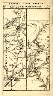 click to enlarge click to enlargeTLY1M4.jpg Map pp.77-78 in British High Roads, North and North Eastern Routes. printed at top:- "BRITISH HIGH ROADS / 77 LONDON TO WHITEHAVEN. 78" item:- private collection : 270.6 Image © see bottom of page |
|||
|
|
||||
| evidence:- | old map:- Postlethwaite 1877 (3rd edn 1913) placename:- Windermere |
|||
| source data:- | Map, uncoloured engraving, Map of the Lake District Mining Field, Westmorland, Cumberland,
Lancashire, scale about 5 miles to 1 inch, by John Postlethwaite, published by W H
Moss and Sons, 13 Lowther Street, Whitehaven, Cumberland, 1877 edn 1913.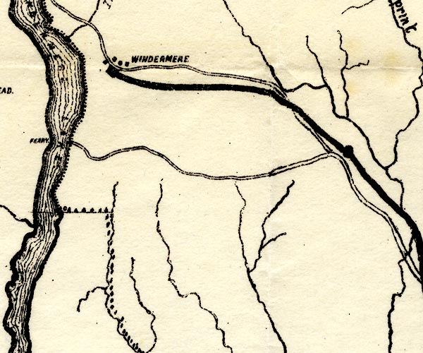 PST2SD49.jpg "WINDERMERE" dots, railway and station item:- JandMN : 162.2 Image © see bottom of page |
|||
|
|
||||
| evidence:- | old map:- County Associations 1950 placename:- Windermere |
|||
| source data:- | Town plan, uncoloured lithograph, Windermere, Westmorland, scale about 5 inches to
1 mile, published by The County Associations, Bourdon Street, Berkeley Square, London,
1950.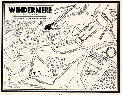 click to enlarge click to enlargeWMD1M3.jpg Town plan, uncoloured lithograph, Windermere, Westmorland, scale about 5 inches to 1 mile, published in The Westmorland Official County Guide by The County Associations, Bourdon Street, Berkeley Square, London, 1950. item:- JandMN : 1000.3 Image © see bottom of page |
|||
|
|
||||
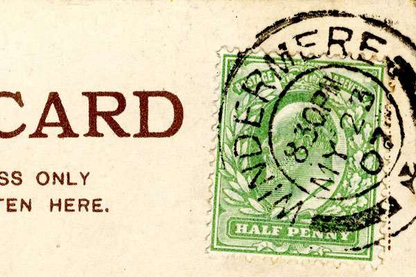 CCS62.jpg Postmark:- "WINDERMERE / 8 30 PM / MY 23 / 07" Stamp - Edward VII, halfpenny, green 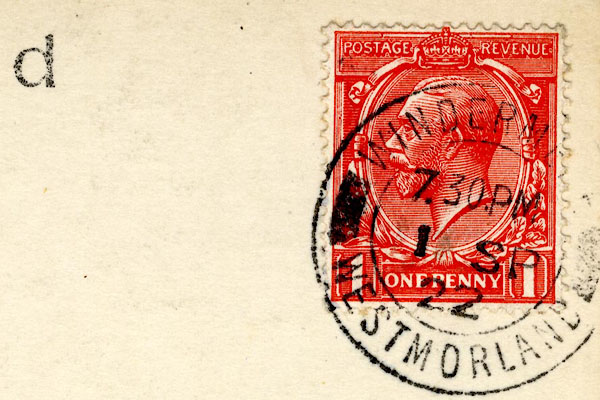 CCS63.jpg Postmark:- "WINDERM[ ] / 7 30 PM / 1 SP / 22" Stamp - George V, one penny, red |
||||
|
|
||||
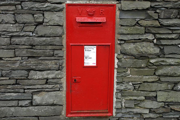
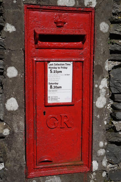
| Post Office maps |
||||
|
|
||||
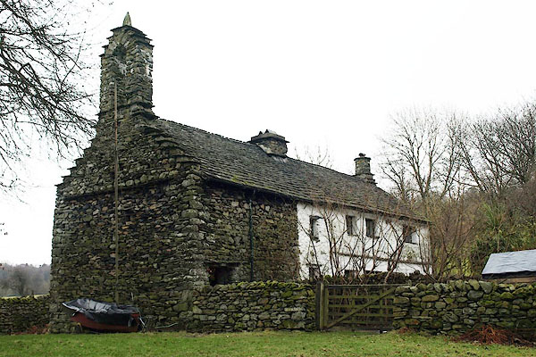
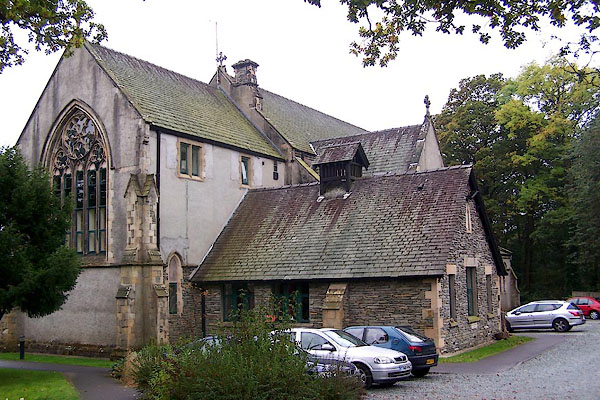
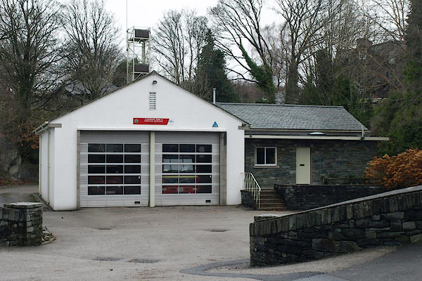
 BQB47.jpg The Priory, Rayrigg Road. (taken 12.2.2009)  BQB59.jpg Stonthwaite. (taken 12.2.2009) |
||||
|
|
||||
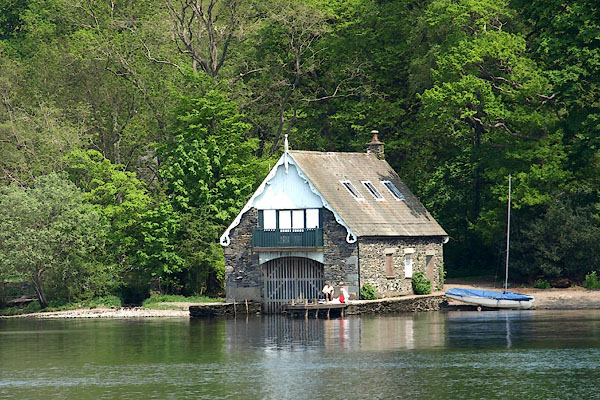
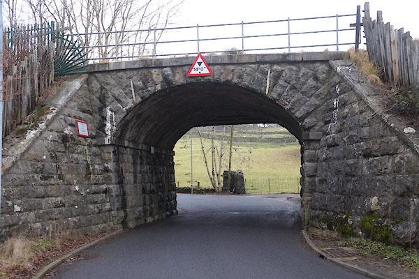
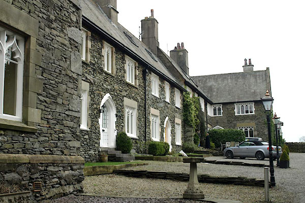
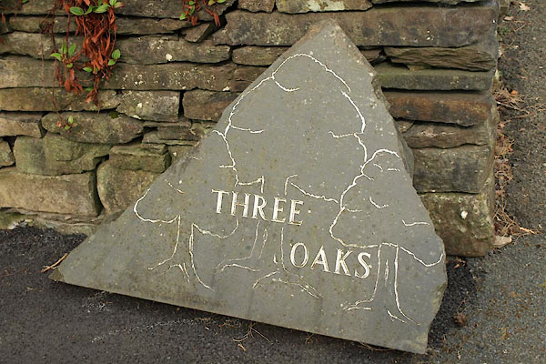
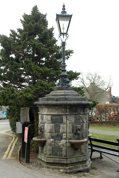
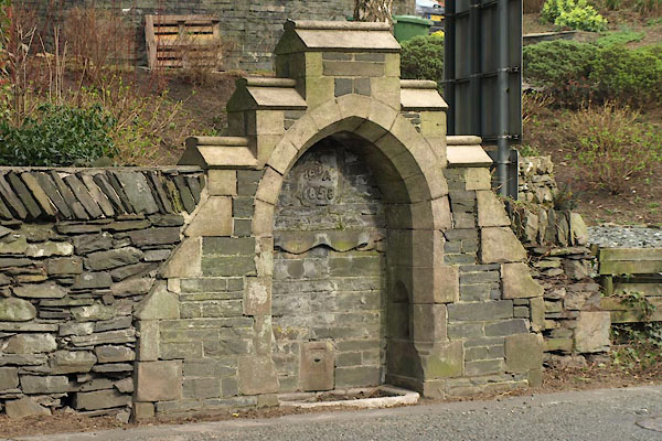
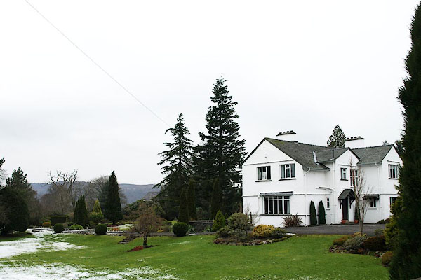 BQB60.jpg Harbour Cay. (taken 12.2.2009) 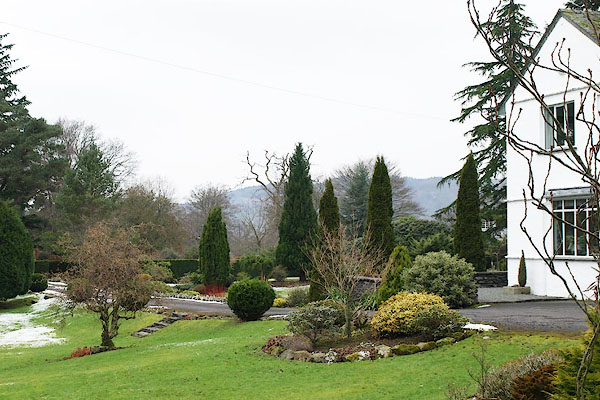 BQB61.jpg Harbour Cay. (taken 12.2.2009) 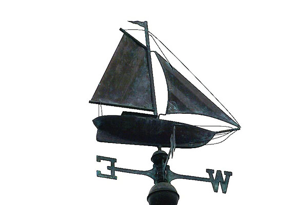 BQB62.jpg Weathervane on Mere Lodge. (taken 12.2.2009) 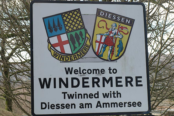 BXZ16.jpg Sign, (taken 13.3.2013) 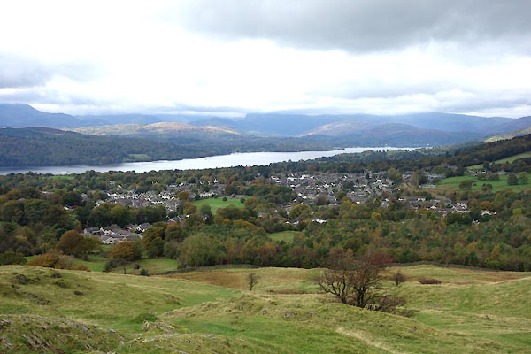 CGR82.jpg from School Knot. (taken 9.10.2017) |
||||
|
|
||||
| hearsay:- |
The village was called Birthwaite before the railway came in 1847. |
|||
|
|
||||
| Paley and Austin series | ||||
| person:- | architect : Paley, Edward G |
|||
| person:- | architect : Austin, Hubert J |
|||
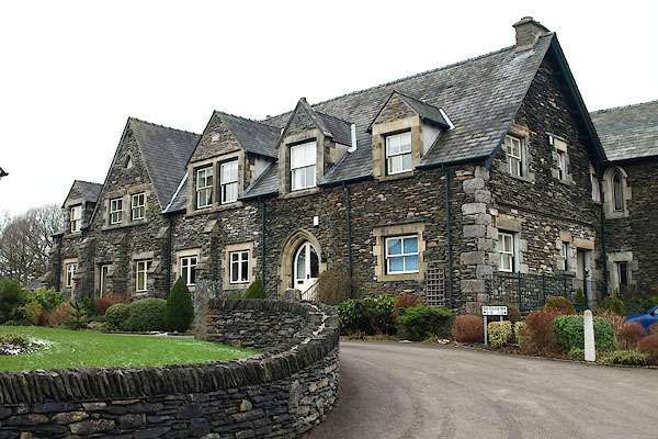
| place:- | Chapel Ridding House | |||
| date:- | ||||
| New building. |
||||
|
|
||||
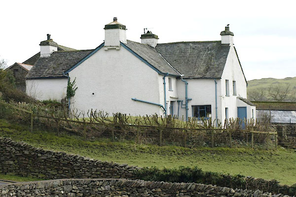
| Paley and Austin series | ||||
| person:- | architect : Paley, Edward G |
|||
| place:- | Browhead Hall | |||
| date:- | 1869 |
|||
| New house. |
||||
|
|
||||
| twinned with:- | Diessen am Ammersee, Germany |
|||
|
|
||||
| places:- |
|
|||
|
||||
|
||||
|
||||
|
||||
|
||||
|
||||
|
||||
|
||||
|
||||
|
||||
|
||||
|
||||
|
||||
|
||||
|
||||
|
||||
|
||||
|
||||
|
||||
|
||||
|
||||
|
||||
|
||||
|
||||
|
||||
|
||||
|
||||
|
||||
|
||||
|
||||
|
||||
|
||||
|
||||
|
||||
|
||||
|
||||
|
||||
|
||||
|
||||
|
||||
|
||||
|
||||
|
||||
|
||||
|
||||
|
||||
|
||||
|
||||
|
||||
|
||||
|
||||
|
||||
|
||||
|
||||
|
||||
|
||||
|
||||
|
||||
|
||||
|
||||
|
||||
|
||||
|
||||
|
||||
|
||||
|
||||
|
||||
|
||||
|
||||
|
||||
|
||||
|
||||
|
||||
|
||||
|
||||
|
||||
|
||||
|
||||
|
||||
|
||||
|
||||
|
||||
|
||||
|
||||
|
||||
|
||||
|
||||
|
||||
|
||||
|
||||
|
||||
|
||||
|
||||
|
||||
|
||||
|
||||
|
||||
|
||||
|
||||
|
||||
|
||||
|
||||
|
||||
|
||||
|
||||
|
||||
|
||||
|
||||
|
||||
|
||||
|
||||
Lakes Guides menu.