 Old Cumbria Gazetteer
 |
 |
|
| Miller Ground, Windermere | ||
| Miller Ground | ||
| locality:- | Windermere | |
| civil parish:- | Windermere (formerly Westmorland) | |
| county:- | Cumbria | |
| locality type:- | locality | |
| coordinates:- | SD40429878 (etc) | |
| 1Km square:- | SD4098 | |
| 10Km square:- | SD49 | |
|
|
||
| evidence:- | old map:- Crosthwaite 1783-94 (Win/Ble) placename:- Miller Ground |
|
| source data:- | Map, uncoloured engraving, An Accurate Map of the Grand Lake of
Windermere, scale about 2 inches to 1 mile, by Peter
Crosthwaite, Keswick, Cumberland, 1783, version published 1819.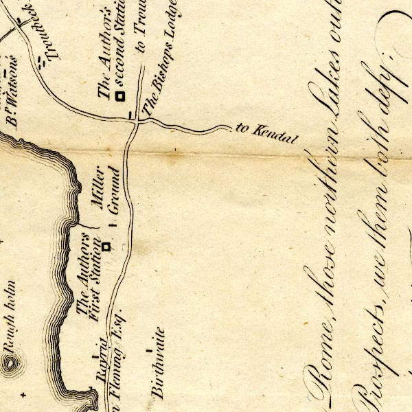 CT9SD49E.jpg "Miller Ground" block, building/s item:- Armitt Library : 2008.14.102 Image © see bottom of page |
|
|
|
||
 Lakes Guides menu.