 Old Cumbria Gazetteer
 |
 |
|
| Oldfield Bridge, Windermere | ||
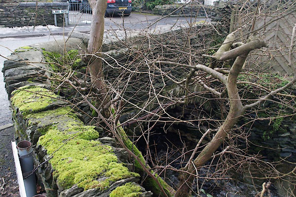
| Oldfield Bridge | ||
| site name:- | Mill Beck (3) | |
| locality:- | Windermere | |
| civil parish:- | Windermere (formerly Westmorland) | |
| county:- | Cumbria | |
| locality type:- | bridge | |
| coordinates:- | SD41219799 | |
| 1Km square:- | SD4197 | |
| 10Km square:- | SD49 | |
|
|
||
 BXV83.jpg (taken 15.2.2013) |
||
|
|
||
| evidence:- | old map:- OS County Series (Wmd 32 12) placename:- Oldfield Bridge |
|
| source data:- | Maps, County Series maps of Great Britain, scales 6 and 25
inches to 1 mile, published by the Ordnance Survey, Southampton,
Hampshire, from about 1863 to 1948. |
|
|
|
||
 Lakes Guides menu.