 Old Cumbria Gazetteer
 |
 |
|
| Low Millerground, Windermere | ||
| Low Millerground | ||
| locality:- | Windermere | |
| civil parish:- | Windermere (formerly Westmorland) | |
| county:- | Cumbria | |
| locality type:- | buildings | |
| coordinates:- | SD40269884 | |
| 1Km square:- | SD4098 | |
| 10Km square:- | SD49 | |
| references:- | OS County Series |
|
|
|
||
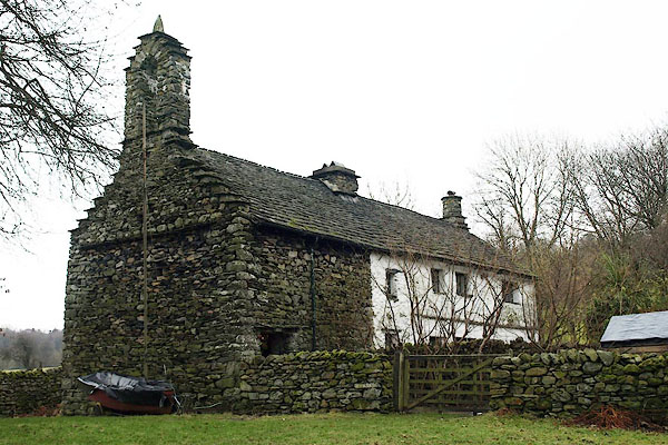 BQB48.jpg (taken 12.2.2009) 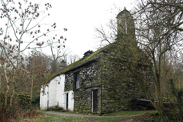 BQB49.jpg (taken 12.2.2009) |
||
|
|
||
| evidence:- | old map:- OS County Series (Wmd 32 7) placename:- Low Millerground placename:- Millerground, Low |
|
| source data:- | Maps, County Series maps of Great Britain, scales 6 and 25
inches to 1 mile, published by the Ordnance Survey, Southampton,
Hampshire, from about 1863 to 1948. |
|
|
|
||
| evidence:- | old map:- Clarke 1787 map (Windermere N) placename:- Miller Ground |
|
| source data:- | Map, A Map of the Northern Part of the Lake Winandermere and its
Environs, scale about 6.5 ins to 1 mile, by James Clarke,
engraved by Samuel John Neele, 352 Strand, published by James
Clarke, Penrith, Cumberland and in London etc, 1787.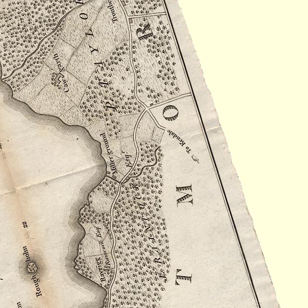 CLASD49E.jpg "Miller ground" item:- private collection : 10.10 Image © see bottom of page |
|
|
|
||
| evidence:- | database:- Listed Buildings 2010 placename:- Low Miller Ground |
|
| source data:- | courtesy of English Heritage "LOW MILLER GROUND / / RAYRIGG ROAD / WINDERMERE TOWN / SOUTH LAKELAND / CUMBRIA / II[star] / 351706 / SD4026098841" |
|
|
|
||
 Lakes Guides menu.