 Old Cumbria Gazetteer
 |
 |
|
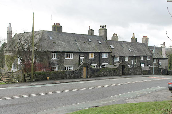
| Terrace, Windermere | ||
| Street:- | Kendal Road | |
| locality:- | Windermere | |
| civil parish:- | Windermere (formerly Westmorland) | |
| county:- | Cumbria | |
| locality type:- | buildings | |
| coordinates:- | SD41469867 | |
| 1Km square:- | SD4198 | |
| 10Km square:- | SD49 | |
| references:- | Listed Buildings 2010 |
|
|
|
||
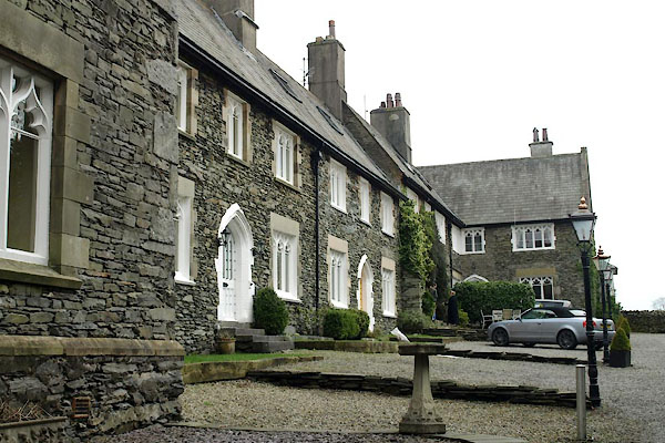 BXW17.jpg (taken 15.2.2013) 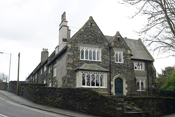 BXW29.jpg (taken 15.2.2013) |
||
|
|
||
| evidence:- | old map:- OS County Series (Wmd 32 8) placename:- Terrace, The |
|
| source data:- | Maps, County Series maps of Great Britain, scales 6 and 25
inches to 1 mile, published by the Ordnance Survey, Southampton,
Hampshire, from about 1863 to 1948. |
|
|
|
||
| evidence:- | database:- Listed Buildings 2010 placename:- Terrace, The |
|
| source data:- | courtesy of English Heritage "THE TERRACE / 40299 / KENDAL ROAD / WINDERMERE TOWN / SOUTH LAKELAND / CUMBRIA / II / 351688 / SD4146498677" |
|
|
|
||
 BXW15.jpg (taken 15.2.2013) |
||
|
|
||
 Lakes Guides menu.