Old Cumbria Gazetteer
 |
 |
|
||
| Brampton | ||||
| civil parish:- | Brampton (formerly Cumberland) | |||
| county:- | Cumbria | |||
| locality type:- | locality | |||
| locality type:- | buildings | |||
| locality type:- | market town | |||
| locality type:- | selected place | |||
| locality type:- | twinned town | |||
| coordinates:- | NY53036109 (etc) | |||
| 1Km square:- | NY5361 | |||
| 10Km square:- | NY56 | |||
| latitude; longitude:- | 2d 43.5m W; 54d 56.5m N | |||
|
|
||||
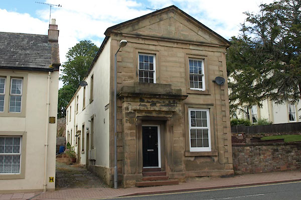
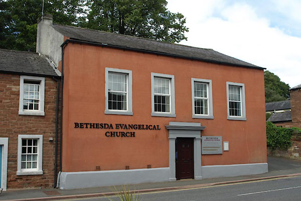
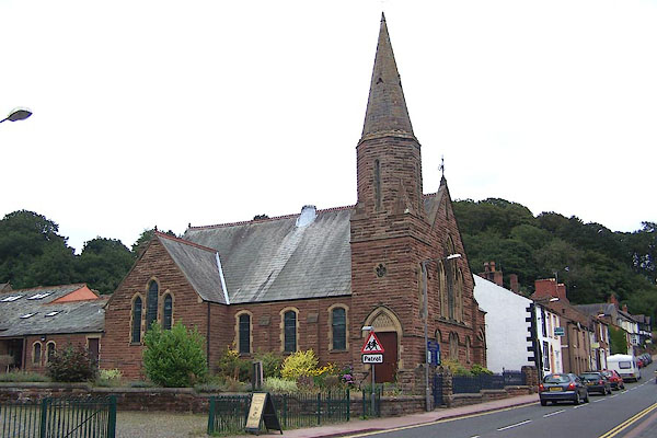
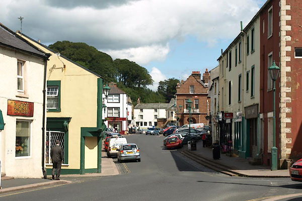
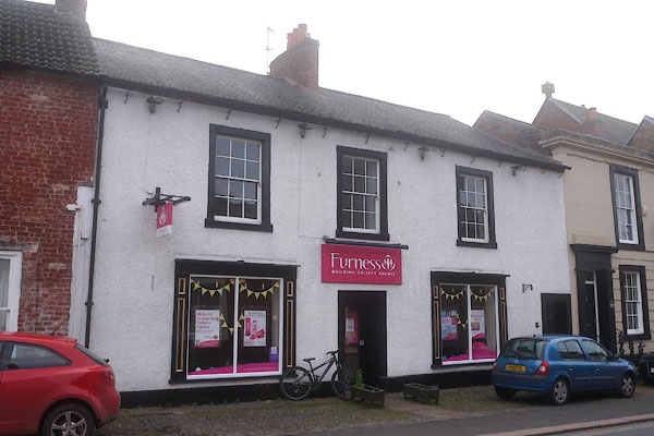
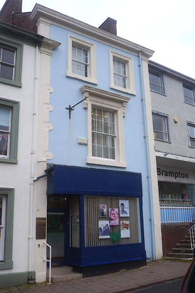
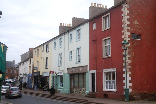
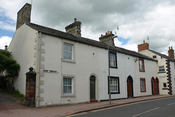
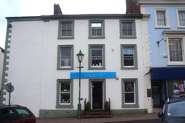
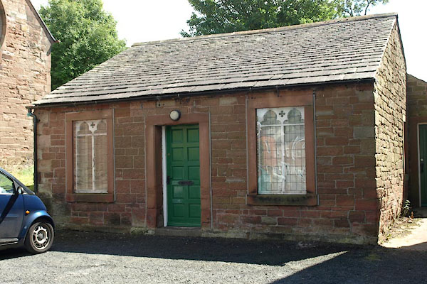
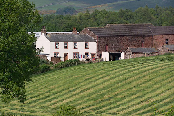
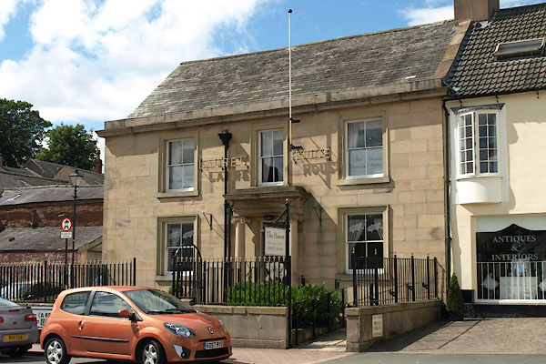
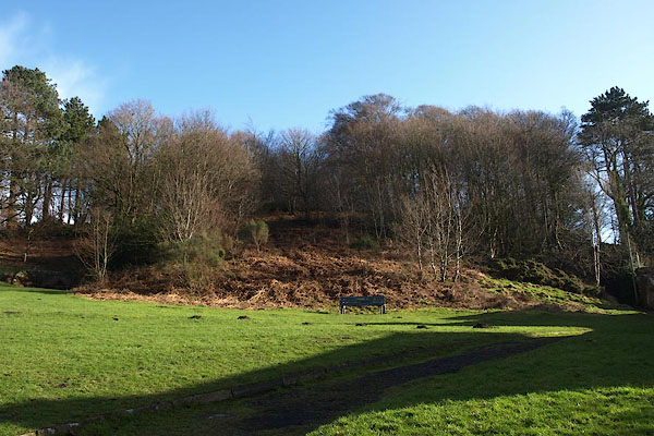
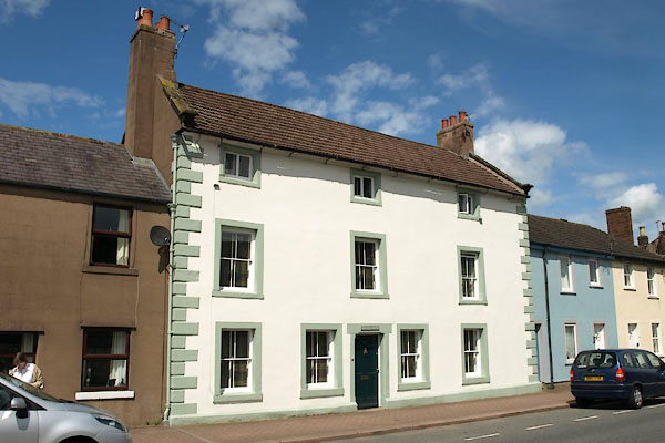
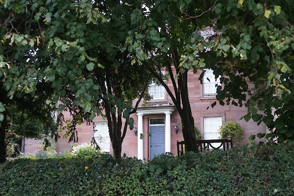
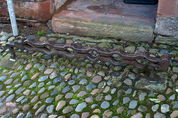
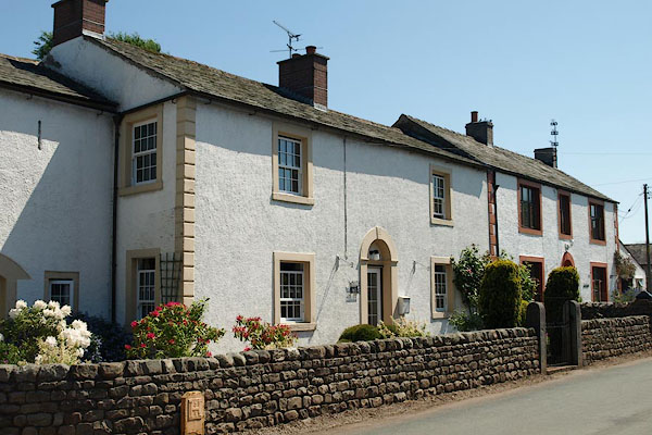
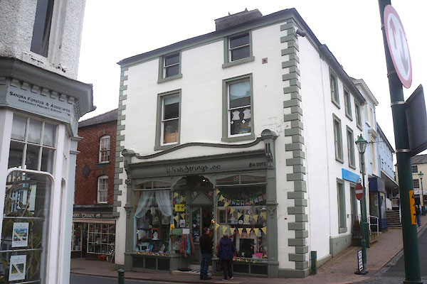
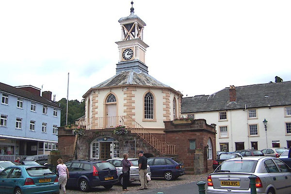
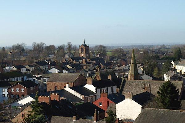
 BMM75.jpg (taken 11.8.2006)  BMM76.jpg (taken 11.8.2006) |
||||
|
|
||||
| evidence:- | old map:- OS County Series (Cmd 18 5) placename:- Brampton |
|||
| source data:- | Maps, County Series maps of Great Britain, scales 6 and 25
inches to 1 mile, published by the Ordnance Survey, Southampton,
Hampshire, from about 1863 to 1948. |
|||
|
|
||||
| evidence:- | old map:- Gough 1350s-60s placename:- Bramton |
|||
| source data:- | Map, colour photozincograph copy, reduced size facsimile, Gough
Map of Britain, scale about 28.5 miles to 1 inch, published by
the Ordnance Survey, Southampton, Hampshire, 1875. click to enlarge click to enlargeGgh1Cm.jpg item:- JandMN : 33 Image © see bottom of page |
|||
|
|
||||
| evidence:- | old map:- Gough 1350s-60s placename:- Bramton |
|||
| source data:- | Map, lithograph facsimile, Gough Map of Britain, 20 miles to 1
inch? published by the Ordnance Survey, Southampton, Hampshire,
1935. click to enlarge click to enlargeGgh2Cm.jpg item:- JandMN : 34 Image © see bottom of page |
|||
|
|
||||
| evidence:- | old map:- Saxton 1579 placename:- Brampton |
|||
| source data:- | Map, hand coloured engraving, Westmorlandiae et Cumberlandiae Comitatus ie Westmorland
and Cumberland, scale about 5 miles to 1 inch, by Christopher Saxton, London, engraved
by Augustinus Ryther, 1576, published 1579-1645.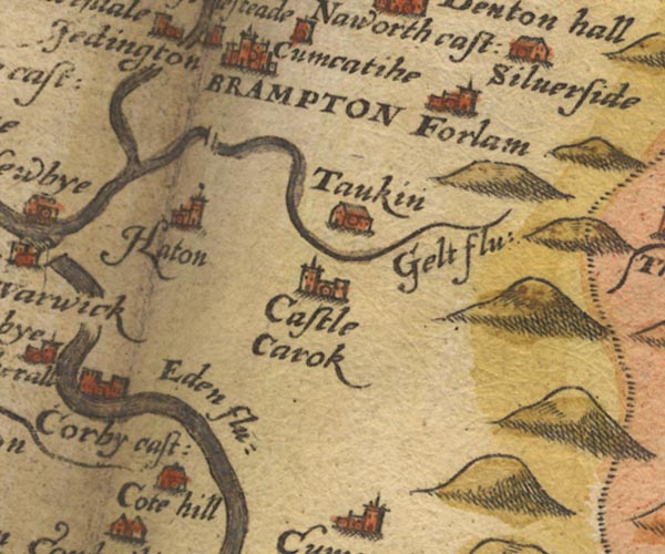 Sax9NY55.jpg Buildings and towers, symbol for a town. "BRAMPTON" item:- private collection : 2 Image © see bottom of page |
|||
|
|
||||
| evidence:- | old map:- Mercator 1595 (edn?) placename:- Brampton |
|||
| source data:- | Map, hand coloured engraving, Northumbria, Cumberlandia, et
Dunelmensis Episcopatus, ie Northumberland, Cumberland and
Durham etc, scale about 6.5 miles to 1 inch, by Gerard Mercator,
Duisberg, Germany, about 1595. MER8CumA.jpg "Brampton" circle, building/s, tower, tinted red item:- JandMN : 169 Image © see bottom of page |
|||
|
|
||||
| evidence:- | old map:- Keer 1605 placename:- Brampton |
|||
| source data:- | Map, hand coloured engraving, Westmorland and Cumberland, scale
about 16 miles to 1 inch, probably by Pieter van den Keere, or
Peter Keer, about 1605 edition perhaps 1676. click to enlarge click to enlargeKER8.jpg "Brampton" dot, two circle, tower, tinted red; town item:- Dove Cottage : 2007.38.110 Image © see bottom of page |
|||
|
|
||||
| evidence:- | old map:- Speed 1611 (Cmd) placename:- Brampton |
|||
| source data:- | Map, hand coloured engraving, Cumberland and the Ancient Citie
Carlile Described, scale about 4 miles to 1 inch, by John Speed,
1610, published by J Sudbury and George Humble, Popes Head
Alley, London, 1611-12.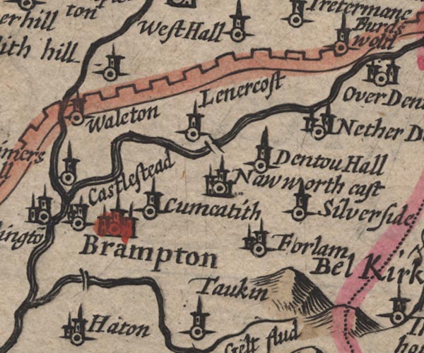 SP11NY56.jpg "Brampton" circle, buildings, tower item:- private collection : 16 Image © see bottom of page |
|||
|
|
||||
| evidence:- | table of distances:- Simons 1635 placename:- Brampton |
|||
| source data:- | Table of distances, uncoloured engraving, Cumberland, with a
thumbnail map, scale about 41 miles to 1 inch, by Mathew Simons,
published in A Direction for the English Traviller, 1635.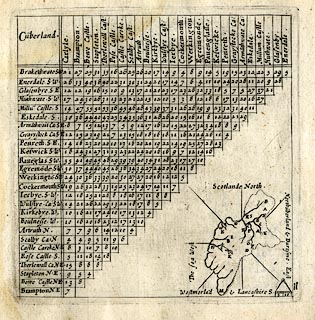 click to enlarge click to enlargeSIM4.jpg "Brampton NE" and tabulated distances; B on thumbnail map item:- private collection : 50.11 Image © see bottom of page |
|||
|
|
||||
| evidence:- | old map:- Jenner 1643 placename:- Brampton |
|||
| source data:- | Tables of distances with a maps, Westmerland, scale about 16
miles to 1 inch, and Cumberland, scale about 21 miles to 1 inch,
published by Thomas Jenner, London, 1643; published 1643-80. JEN4Sq.jpg "Brampton" circle |
|||
|
|
||||
| evidence:- | old map:- Jansson 1646 placename:- Brampton |
|||
| source data:- | Map, hand coloured engraving, Cumbria and Westmoria, ie
Cumberland and Westmorland, scale about 3.5 miles to 1 inch, by
John Jansson, Amsterdam, Netherlands, 1646.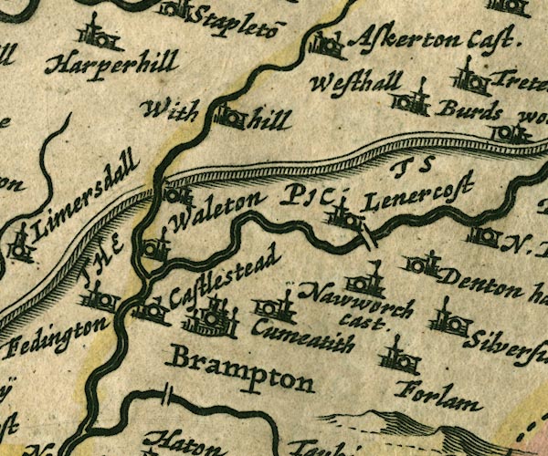 JAN3NY56.jpg "Brampton" Buildings and towers, suggestion of a wall, notice ?fence palings; upright lowercase text; market town. item:- JandMN : 88 Image © see bottom of page |
|||
|
|
||||
| evidence:- | old map:- Ogilby 1675 (plate 86) placename:- Branton |
|||
| source data:- | Road strip map, uncoloured engraving, the Road from Tinmouth ...
to Carlisle, scale about 1 inch to 1 mile, by John Ogilby,
London, 1675. OG86m060.jpg In mile 60, Cumberland. Turnings right:- "to Brampton" item:- JandMN : 73 Image © see bottom of page |
|||
| source data:- | Road strip map, uncoloured engraving, the Road from Tinmouth ...
to Carlisle, scale about 1 inch to 1 mile, by John Ogilby,
London, 1675.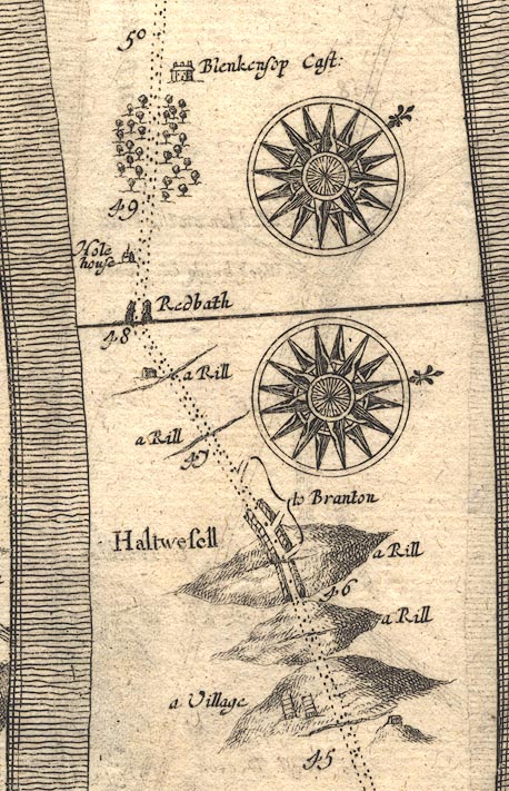 OG86m045.jpg In mile 46, Northumberland. Turnings right:- "to Branton" item:- JandMN : 73 Image © see bottom of page |
|||
|
|
||||
| evidence:- | old map:- Sanson 1679 placename:- Brampton |
|||
| source data:- | Map, hand coloured engraving, Ancien Royaume de Northumberland
aujourdhuy Provinces de Nort, ie the Ancient Kingdom of
Northumberland or the Northern Provinces, scale about 9.5 miles
to 1 inch, by Nicholas Sanson, Paris, France, 1679. click to enlarge click to enlargeSAN2Cm.jpg "Brampton" circle, italic lowercase text; village or house item:- Dove Cottage : 2007.38.15 Image © see bottom of page |
|||
|
|
||||
| evidence:- | old map:- Seller 1694 (Cmd) placename:- Brampton |
|||
| source data:- | Map, uncoloured engraving, Cumberland, scale about 12 miles to 1
inch, by John Seller, 1694. click to enlarge click to enlargeSEL9.jpg "Brampton" circle, upright lowercase text; town item:- Dove Cottage : 2007.38.89 Image © see bottom of page |
|||
|
|
||||
| evidence:- | old map:- Morden 1695 (EW) placename:- Brampton |
|||
| source data:- | Map, hand coloured engraving, England, including Wales, scale
about 27 miles to 1 inch, by Robert Morden, published by Abel
Swale Awnsham and John Churchil, London, about 1695. click to enlarge click to enlargeMRD3Cm.jpg "Brampton" circle; village or town item:- JandMN : 339 Image © see bottom of page |
|||
|
|
||||
| evidence:- | old map:- Morden 1695 (Cmd) placename:- Brampton |
|||
| source data:- | Map, uncoloured engraving, Cumberland, scale about 4 miles to 1
inch, by Robert Morden, 1695, published by Abel Swale, the
Unicorn, St Paul's Churchyard, Awnsham, and John Churchill, the
Black Swan, Paternoster Row, London, 1695-1715. MD12NY56.jpg "Brampton" Circle, buildings, towers. item:- JandMN : 90 Image © see bottom of page |
|||
|
|
||||
| evidence:- | old map:- Bowen 1720 (plate 232) placename:- Brampton |
|||
| source data:- | Road strip map, road map, pl.232, part of The Road from Tinmouth
to Carlisle, scale about 2 miles to 1 inch, with sections in
Northumberland and Cumberland, published by Emanuel Bowen, St
Katherines, London, 1720. B232m60.jpg "to Brampton" Three turnings labelled, the settlement to the north of the road; mile 59-60. item:- JandMN : 65.232 Image © see bottom of page |
|||
|
|
||||
| evidence:- | old map:- Badeslade 1742 placename:- Brampton |
|||
| source data:- | Maps, Westmorland North from London, scale about 10 miles to 1
inch, and Cumberland North from London, scale about 11 miles to
1 inch, with descriptive text, by Thomas Badeslade, London,
engraved and published by William Henry Toms, Union Court,
Holborn, London, 1742; published 1742-49. "Brampton Market Thursday." |
|||
|
|
||||
| evidence:- | old map:- Badeslade 1742 placename:- Brampton |
|||
| source data:- | Map, uncoloured engraving, A Map of Cumberland North from
London, scale about 11 miles to 1 inch, with descriptive text,
by Thomas Badeslade, London, engraved and published by William
Henry Toms, Union Court, Holborn, London, 1742. click to enlarge click to enlargeBD10.jpg "Brampton" circle, tower/s, upright lowercase text; town item:- JandMN : 115 Image © see bottom of page |
|||
|
|
||||
| evidence:- | old text:- Gents Mag item:- rebellion, 1745; 1745 Rebellion |
|||
| source data:- | Magazine, The Gentleman's Magazine or Monthly Intelligencer or
Historical Chronicle, published by Edward Cave under the
pseudonym Sylvanus Urban, and by other publishers, London,
monthly from 1731 to 1922. goto source goto sourceGentleman's Magazine 1745 p.604 "Nov. 16 [1745]. By advices from the North of the 12th at night there are accounts, that the main body of the rebels march'd upon the 11th to Brampton. The pretender's son lodged on the 9th night at Murray's, at a little village three miles West of Carlisle, on the 10th night at Blackhall three miles South of Carlisle, and was at Warwick castle by ten o'clock on the 11th. ... Upon the 12th the rebels remain'd at Brampton, Warwick Bridge, and the villages between those two places. They gave out that their whole army was to join that night, and that they had orders to hold themselves in readiness to march at ten o'clock, upon the 13th. They had 16 field-pieces along with them, ..." "Nov. 16 [1745], The following intelligence was reciev'd this morning from Penrith in the county of Cumberland, dated the 13th Inst." "The rebels who continued before Carlisle from Saturday till Monday last, retreated with their carriages and 16 field pieces to Brampton, eight miles from thence. They have continued there, and have been collecting their forces till nine this morning. Two persons of good character came to Penrith at five this evening, and declar'd they saw a large body of the rebels, which they gave out to be 7000, moving from Brampton to Carlisle, and heard numbers of them declare they were going to besiege it in form. That the rebels forced four carpenters to go along with them from Brampton, in order (as they said) to assist in erecting batteries. ..." |
|||
|
|
||||
| evidence:- | old text:- Gents Mag 1745 item:- rebellion, 1745; 1745 Rebellion |
|||
| source data:- | goto source Gentleman's Magazine 1745 p.610 "..." "... After noon [Mon 11.11.1745] other spies were likewise detach'd [at Carlisle] to observe their motions, and discover'd a great number remain'd about Warwick bridge; but the pretender, with his guard and attendants were advanc'd to Brampton, where they lodg'd themselves that night; and on Tuesday they lay idle from all action, except feats of rapine and plunder; for they spent the day in hunting and destroying the sheep of lord Carlisle's tenants, and bearing off the country people's geese and other poultry. They also seiz'd upon all the horses they could lay hands on, without any question relating to value or property; notwithstanding they declare the design of their expedition is to redress grievances, and correct abuses. Tuesday night the rebels slept quietly with full bellies." |
|||
|
|
||||
| evidence:- | descriptive text:- Simpson 1746 placename:- Brampton placename:- Bremeturacum |
|||
| source data:- | Atlas, three volumes of maps and descriptive text published as
'The Agreeable Historian, or the Compleat English Traveller
...', by Samuel Simpson, 1746. goto source "..." "Brampton, the next Place we are to speak of, is a little Market Town, to the N.E. of Carlisle, and not far from a Bridge over the Eden. This Place, by the Learned, is thought to be the ancient Bremeturacum along the Wall, for it is scarce a Mile distant from it, where of old the first Cohort of the Tungri from Germany, and in the Decay of the Roman Empire, the Cuneus Armaturatum, under the Governor of Britain, was quarter'd: These Armaturae were Horsemen armed Cap-a-pee; but whether they were Duplares or Simplares, is not told us; the Duplares, in the Sense of that Age, were those that had a double Allowance of Corn, and the Simplares such as had a single. The Market here is on Tuesdays: It is 225 Miles computed, and 287 measured from London." "The Lands of the Town are, for the most Part, Demensne, and the Lord, who is at present the Right Hon. the Earl of Carlisle, keeps here Yearly a Court-Leet, and View of Frank-Pledge for the whole Barony of Gillisland, tho' anciently their chief Seat was at Irthington." "In this Town, is an Hospital for six poor Men, and as many poor Women, ..." |
|||
|
|
||||
| evidence:- | old map:- Bowen and Kitchin 1760 placename:- Brampton |
|||
| source data:- | Map, hand coloured engraving, A New Map of the Counties of
Cumberland and Westmoreland Divided into their Respective Wards,
scale about 4 miles to 1 inch, by Emanuel Bowen and Thomas
Kitchin et al, published by T Bowles, Robert Sayer, and John
Bowles, London, 1760. BO18NY55.jpg "Brampton Mr. Tu. / V" blocks, town, market, street map, vicarage item:- Armitt Library : 2008.14.10 Image © see bottom of page |
|||
|
|
||||
| evidence:- | old text:- Pennant 1773 placename:- Brampton |
|||
| source data:- | Book, A Tour from Downing to Alston Moor, 1773, by Thomas
Pennant, published by Edward Harding, 98 Pall Mall, London, 1801. goto source Pennant's Tour 1773, page 171 "After riding a mile and a half further, I reached Brampton. The town is small, and contains nothing remarkable. ..." goto sourcePennant's Tour 1773, page 172 "This town was the capital of the great barony of Gillesland, ..." |
|||
|
|
||||
| evidence:- | old map:- Donald 1774 (Cmd) placename:- Brampton |
|||
| source data:- | Map, hand coloured engraving, 3x2 sheets, The County of Cumberland, scale about 1
inch to 1 mile, by Thomas Donald, engraved and published by Joseph Hodskinson, 29
Arundel Street, Strand, London, 1774.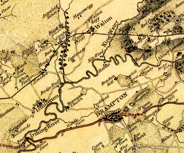 D4NY56SW.jpg "BRAMPTON" blocks, perhaps a church, labelled in block caps; a town, street plan, note that there is no church item:- Carlisle Library : Map 2 Image © Carlisle Library |
|||
|
|
||||
| evidence:- | old map:- Donald 1774 (Cmd) placename:- Brampton |
|||
| source data:- | Map, hand coloured engraving, 3x2 sheets, The County of Cumberland, scale about 1
inch to 1 mile, by Thomas Donald, engraved and published by Joseph Hodskinson, 29
Arundel Street, Strand, London, 1774.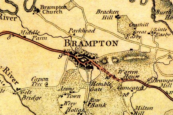 DN04Brmp.jpg "BRAMPTON" Labelled in block caps for a market town; street map; notice the church to the west. item:- Carlisle Library : Map 2 Image © Carlisle Library |
|||
|
|
||||
| evidence:- | old map:- Donald 1774 (Cmd) placename:- Brampton |
|||
| source data:- | Map, hand coloured engraving, 3x2 sheets, The County of Cumberland, scale about 1
inch to 1 mile, by Thomas Donald, engraved and published by Joseph Hodskinson, 29
Arundel Street, Strand, London, 1774. D4NY56SW.jpg "BRAMPTON" blocks, perhaps a church, labelled in block caps; a town, street plan, note that there is no church item:- Carlisle Library : Map 2 Image © Carlisle Library |
|||
|
|
||||
| evidence:- | old map:- Donald 1774 (Cmd) placename:- Brampton |
|||
| source data:- | Map, hand coloured engraving, 3x2 sheets, The County of Cumberland, scale about 1
inch to 1 mile, by Thomas Donald, engraved and published by Joseph Hodskinson, 29
Arundel Street, Strand, London, 1774. DN04Brmp.jpg "BRAMPTON" Labelled in block caps for a market town; street map; notice the church to the west. item:- Carlisle Library : Map 2 Image © Carlisle Library |
|||
|
|
||||
| evidence:- | old map:- Pennant 1777 placename:- Brampton |
|||
| source data:- | Map, hand coloured engraving, A Map of Scotland, Hebrides and
Part of England, drawn for Thomas Pennant, engraved by J Bayly,
published by Benjamin White, London, 1777. click to enlarge click to enlargePEN1Cm.jpg "Brampton" circle; buildings, village, etc item:- private collection : 66 Image © see bottom of page |
|||
|
|
||||
| evidence:- | old text:- Camden 1789 placename:- Brampton placename:- Bremeturacum |
|||
| source data:- | Book, Britannia, or A Chorographical Description of the Flourishing Kingdoms of England,
Scotland, and Ireland, by William Camden, 1586, translated from the 1607 Latin edition
by Richard Gough, published London, 1789. goto source Page 176:- "... Brampton, a mean market-town, which I take for BREMETURACUM ad lineam valli, being scarce a mile from the wall, where antiently was stationed the 1st cohort of the Tungri from Germany, and in the decline of the Roman empire under the Dux Britanniarum a Cuneus Armaturarum. These were horse completely armed, but whether these Armaturae were duplares or simplares, Vegetius leaves uncertain. The former, according to the style of that time, was so called from having a double, and other from having only single allowance of provision. ..." |
|||
|
|
||||
| evidence:- | old text:- Camden 1789 (Gough Additions) placename:- Brampton item:- market; fair |
|||
| source data:- | Book, Britannia, or A Chorographical Description of the Flourishing Kingdoms of England,
Scotland, and Ireland, by William Camden, 1586, translated from the 1607 Latin edition
by Richard Gough, published London, 1789. goto source Page 203:- "..." "... Brampton, which is a little market town under lofty hills, having two fairs for cattle and sheep. ..." |
|||
|
|
||||
| evidence:- | old map:- Aikin 1790 (Cmd) placename:- Brampton |
|||
| source data:- | Map, uncoloured engraving, Cumberland, by John Aikin, London,
1790. click to enlarge click to enlargeAIK3.jpg "Brampton" circle; town item:- JandMN : 145 Image © see bottom of page |
|||
|
|
||||
| evidence:- | old map:- Bailey 1797 placename:- Brampton |
|||
| source data:- | Map, soil etc, uncoloured engraving, Cumberland, scale about 21
miles to 1 inch, by J Bailey, engraved by Neele, Strand,
published by Messrs Robinson, Paternoster Row and G Nicol, Pall
Mall, London, 1797.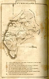 click to enlarge click to enlargeBY04.jpg "Brampton" group of blocks; town item:- Armitt Library : A680.2 Image © see bottom of page |
|||
|
|
||||
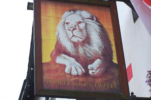
| evidence:- | road book:- Cary 1798 (2nd edn 1802) placename:- Brampton |
|||
| source data:- | Road book, itineraries, Cary's New Itinerary, by John Cary, 181
Strand, London, 2nd edn 1802. goto source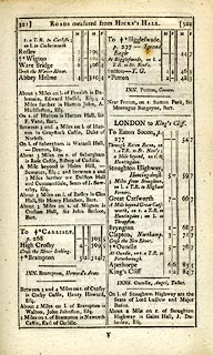 click to enlarge click to enlargeC38321.jpg page 321-322 "Brampton" market town, post office "INN. Brampton, Howard's Arms." item:- JandMN : 228.1 Image © see bottom of page |
|||
|
|
||||
| evidence:- | road book:- Cary 1798 (2nd edn 1802) placename:- Brampton |
|||
| source data:- | Road book, itineraries, Cary's New Itinerary, by John Cary, 181
Strand, London, 2nd edn 1802. goto source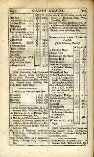 click to enlarge click to enlargeC38699.jpg page 699-700 "Brampton" market town, post office "INNS. ... Brampton, Howard Arms. ..." item:- JandMN : 228.2 Image © see bottom of page |
|||
|
|
||||
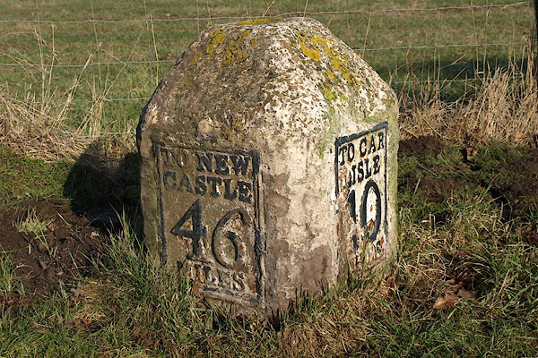
| evidence:- | old map:- Laurie and Whittle 1806 placename:- Brampton |
|||
| source data:- | Road map, Continuation of the Roads to Glasgow and Edinburgh,
scale about 10 miles to 1 inch, by Nathaniel Coltman? 1806,
published by Robert H Laurie, 53 Fleet Street, London, 1834. click to enlarge click to enlargeLw21.jpg "Brampton 310¾" market town; distance from London; travellers supplied with post horses or carriages item:- private collection : 18.21 Image © see bottom of page |
|||
|
|
||||
| evidence:- | old text:- Capper 1808 placename:- Brampton item:- population; market; fair |
|||
| source data:- | Gazetteer, A Topographical Dictionary of the United Kingdom,
compiled by Benjamin Pitts Capper, published by Richard
Phillips, Bridge Street, Blackfriars, London, 1808; published
1808-29. goto source "..." "BRAMPTON, a market town and parish in Eskdale ward, Cumberland, 7 miles from Carlisle, and 311 from London; containing 339 houses and 1682 inhabitants, of whom 136 were returned as being employed in various trades. This is a very ancient town, and was formerly a Roman station, of considerable note in the second and third century. It is still the capital of the barony of Gillsland, belonging to the earl of Carlisle; and the town courts are held here twice a year. It is irregularly built, stands low and uneven on a sandy soil by the river Irthing, near its junction with the Gelt, 1 mile below the Picts Wall. It has an hospital for six poor men, and six poor women. Two miles distant stands Naward castle, ... It has a good market on Tuesday, and an inferior one on Saturday; and two fairs, on the second Wednesday after Whitsunday, and the second Wednesday in September, noted for the sale of black cattle and sheep. The living is a vicarage, value 8l. in the patronage of the earl of Carlisle. - Hutchinson's Cumberland." "..." |
|||
|
|
||||
| evidence:- | old map:- Cooper 1808 placename:- Brampton |
|||
| source data:- | Map, uncoloured engraving, Cumberland, scale about 10.5 miles to
1 inch, drawn and engraved by Cooper, published by R Phillips,
Bridge Street, Blackfriars, London, 1808. click to enlarge click to enlargeCOP3.jpg "Brampton" circle with two side bars; town item:- JandMN : 86 Image © see bottom of page |
|||
|
|
||||
| evidence:- | old map:- Wallis 1810 (Cmd) placename:- Brampton |
|||
| source data:- | Road map, hand coloured engraving, Cumberland, scale about 16
miles to 1 inch, by James Wallis, 77 Berwick Stree, Soho,
London, 1810. click to enlarge click to enlargeWL13.jpg "Brampton / 304" town; distance from London item:- Dove Cottage : 2009.81.10 Image © see bottom of page |
|||
|
|
||||
| evidence:- | old text:- Gents Mag item:- rebellion, 1715; 1715 Rebellion |
|||
| source data:- | Magazine, The Gentleman's Magazine or Monthly Intelligencer or
Historical Chronicle, published by Edward Cave under the
pseudonym Sylvanus Urban, and by other publishers, London,
monthly from 1731 to 1922. goto source Gentleman's Magazine 1819 part 1 p.506 From the Compendium of County History:- "1715. Brampton and Penrith entered in November, and James III. proclaimed by the friends of the Stuarts under General Foster." |
|||
|
|
||||
| evidence:- | old map:- Hall 1820 (Cmd) placename:- Brampton |
|||
| source data:- | Map, hand coloured engraving, Cumberland, scale about 21 miles
to 1 inch, engraved by Sidney Hall, published by S Leigh, 18
Strand, London, 1820-31. click to enlarge click to enlargeHA14.jpg "Brampton / 311" circle, upright lowercase text; town; distance from London item:- JandMN : 91 Image © see bottom of page |
|||
|
|
||||
| evidence:- | descriptive text:- Otley 1823 (5th edn 1834) item:- geology; coal |
|||
| source data:- | Guide book, A Concise Description of the English Lakes, the
mountains in their vicinity, and the roads by which they may be
visited, with remarks on the mineralogy and geology of the
district, by Jonathan Otley, published by the author, Keswick,
Cumberland now Cumbria, by J Richardson, London, and by Arthur
Foster, Kirkby Lonsdale, Cumbria, 1823; published 1823-49,
latterly as the Descriptive Guide to the English Lakes. goto source Page 163:- "... a long range of mountains, called by some the British Apennines, or the Backbone of England. These mountains are stratified, but do not produce coal; except at the northern end towards Brampton. ..." |
|||
|
|
||||
| evidence:- | old map:- Greenwood 1824 placename:- Brampton |
|||
| source data:- | Map, engraving, Map of the County of Cumberland, scale about 1
inch to 1 mile, etc, by Christopher and John Greenwood,
published by George Pringle jnr, 70 Queen Street, Cheapside,
London, 1823.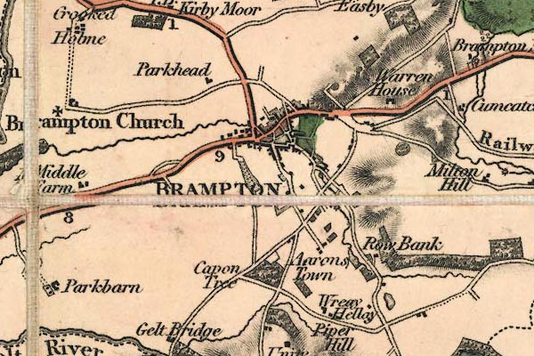 gw12brmp.jpg "BRAMPTON" street map; labelled in block caps for a market town; notice the old chuch, and the Earl of Carlisle's Railway. item:- National Library of Scotland : EME.b.3.11 Image © National Library of Scotland |
|||
|
|
||||
| evidence:- | old map:- Cobbett 1832 placename:- Brampton |
|||
| source data:- | Map, uncoloured engraving, Cumberland, scale about 20 miles to 1
inch, by William Cobbett, 11 Bolt Court, Fleet Street, London,
1832.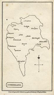 click to enlarge click to enlargeCOB5.jpg "Brampton" dot and circle; town item:- JandMN : 117 Image © see bottom of page |
|||
|
|
||||
| evidence:- | descriptive text:- Ford 1839 (3rd edn 1843) placename:- Brampton |
|||
| source data:- | Guide book, A Description of Scenery in the Lake District, by
Rev William Ford, published by Charles Thurnam, Carlisle, by W
Edwards, 12 Ave Maria Lane, Charles Tilt, Fleet Street, William
Smith, 113 Fleet Street, London, by Currie and Bowman,
Newcastle, by Bancks and Co, Manchester, by Oliver and Boyd,
Edinburgh, and by Sinclair, Dumfries, 1839. goto source Page 118:- "... Brampton, an irregular-built market-town. ..." |
|||
|
|
||||
| evidence:- | old map:- Ford 1839 map placename:- Brampton |
|||
| source data:- | Map, uncoloured engraving, Map of the Lake District of
Cumberland, Westmoreland and Lancashire, scale about 3.5 miles
to 1 inch, published by Charles Thurnam, Carlisle, and by R
Groombridge, 5 Paternoster Row, London, 3rd edn 1843.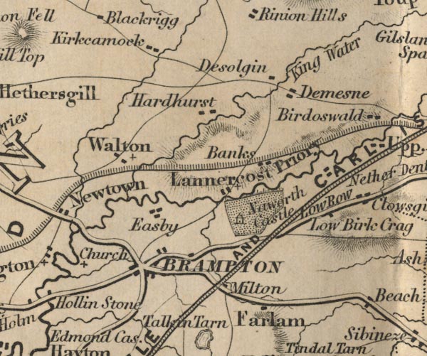 FD02NY56.jpg "Brampton" item:- JandMN : 100.1 Image © see bottom of page |
|||
|
|
||||
| evidence:- | old itinerary:- Johnson 1908 (Roads/Cum) placename:- Brampton |
|||
| source data:- | Itinerary, Route 43 in Roads Made Easy by Picture and Pen, Doncaster to Glasgow, through
Alston, by Claude Johnson, edited by Lord Montagu, published by The Car Illustrated,
168 Piccadilly, London, 1908.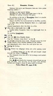 click to enlarge click to enlargeJS5097.jpg item:- private collection : 268.14 Image © see bottom of page |
|||
|
|
||||
| evidence:- | old itinerary:- Johnson 1908 (Roads/Cum) placename:- Brampton |
|||
| source data:- | Itinerary, Route 43 reverse in Roads Made Easy by Picture and Pen, Glasgow to Doncaster,
through Alston, by Claude Johnson, edited by Lord Montagu, published by The Car Illustrated,
168 Piccadilly, London, 1908.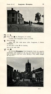 click to enlarge click to enlargeJS5099.jpg pp.98-106 in the road book, Roads Made Easy by Picture and Pen, vol.3. printed at beginning, p.98:- "ROUTE 43. Reverse. / GLASGOW via Gretna (85¼), Longtown (92), Alston (122), Middleton-in-Teesdale (144), Barnard Castle (155), Scotch Corner (168), Boroughbridge (197) to DONCASTER 240½)." 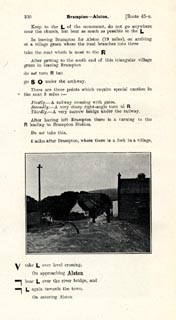 click to enlarge click to enlargeJS5100.jpg item:- private collection : 268.15 Image © see bottom of page |
|||
|
|
||||
| evidence:- | market notes:- placename:- Braunton item:- market |
|||
| source data:- | www.history.ac.uk/cmh/gaz/gazweb2.htmOwen: 1792: New Book of FairsBowen, Emanuel &Kitchin, Thomas: 1760: New Map of the Counties of Cumberland and Westmoreland | |||
|
|
||||
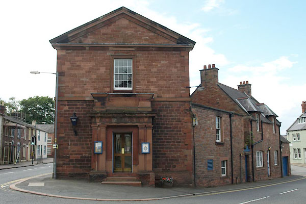
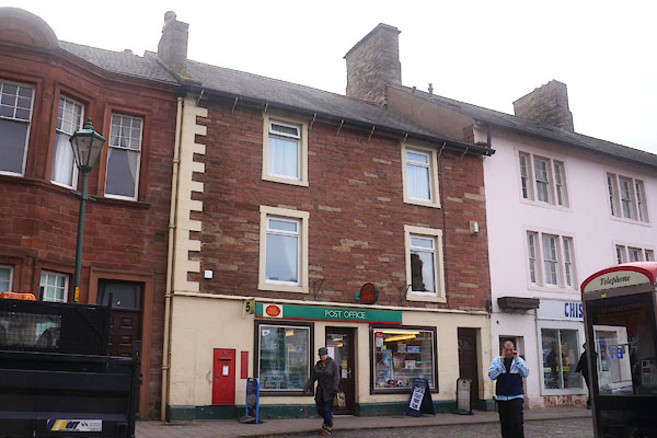
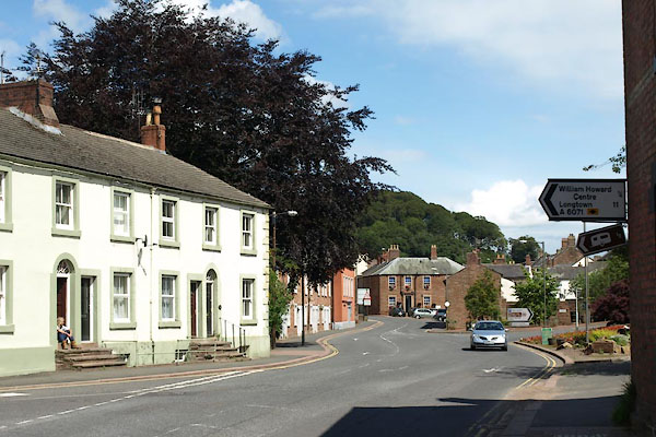
 Post Office maps Post Office maps |
||||
|
|
||||
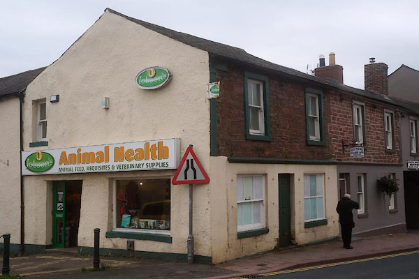
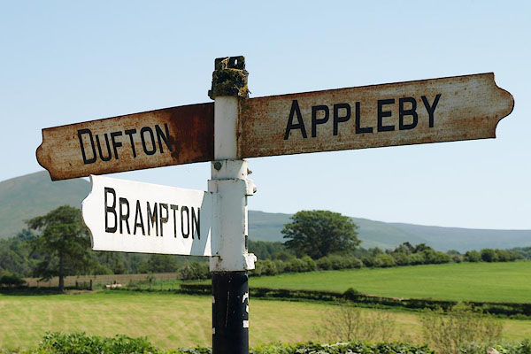
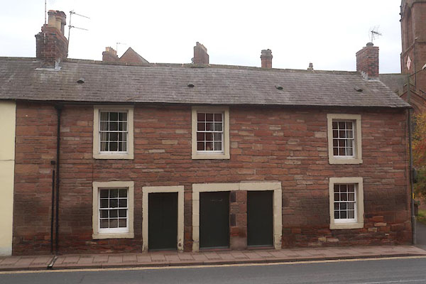
 BUB01.jpg (taken 16.2.2011) 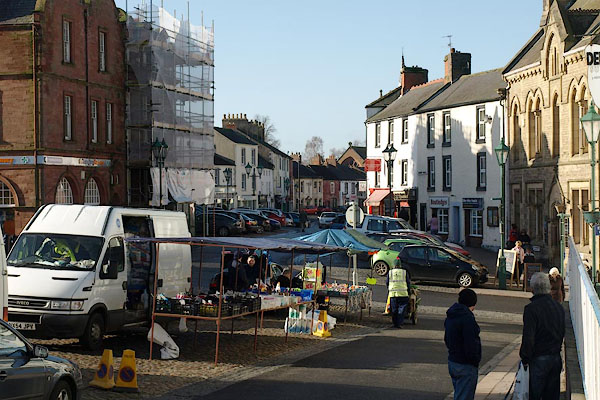 BUB06.jpg (taken 16.2.2011) |
||||
|
|
||||
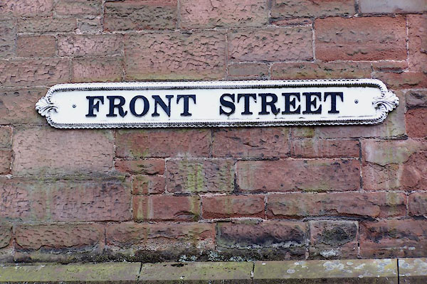 BMM81.jpg Cast iron street sign:- "FRONT STREET" (taken 11.8.2006) |
||||
|
|
||||
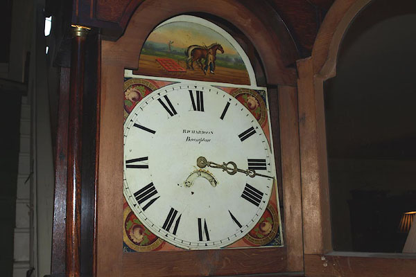 BOW43.jpg White dial of a longcase clock by:- "RICHARDSON / Brampton" Mr Richardson, clockmaker, Brampton (taken 21.3.2008) |
||||
|
|
||||
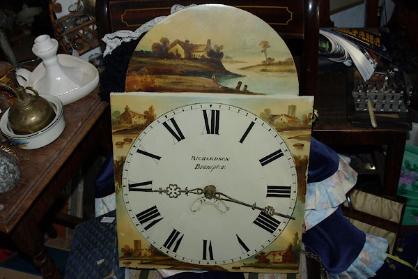 BVT37.jpg White dial of a longcase clock by:- "RICHARDSON / Brampton" Mr Richardson, clockmaker, Brampton (taken 17.12.2011) courtesy of Andrew Aindow. |
||||
|
|
||||
| hearsay:- |
During the 1745 Rebellion, a building in High Cross Street was Bonnie Prince Charlie's
headquarters. |
|||
|
|
||||
| twinned with:- | Berry-Bouy, France |
|||
|
|
||||
| places:- |
|
|||
|
||||
|
||||
|
||||
|
||||
|
||||
|
||||
|
||||
|
||||
|
||||
|
||||
|
||||
|
||||
|
||||
|
||||
|
||||
|
||||
|
||||
|
||||
|
||||
|
||||
|
||||
|
||||
|
||||
|
||||
|
||||
|
||||
|
||||
|
||||
|
||||
|
||||
|
||||
|
||||
|
||||
|
||||
|
||||
|
||||
|
||||
|
||||
|
||||
|
||||
|
||||
|
||||
|
||||
|
||||
|
||||
|
||||
|
||||
|
||||
|
||||
|
||||
|
||||
|
||||
|
||||
|
||||
|
||||
|
||||
|
||||
|
||||
|
||||
|
||||
|
||||
|
||||
|
||||
|
||||
|
||||
|
||||
|
||||
|
||||
|
||||
|
||||
|
||||
|
||||
|
||||
|
||||
|
||||
|
||||
|
||||
|
||||
|
||||
|
||||
|
||||
|
||||
|
||||
|
||||
|
||||
|
||||
|
||||
|
||||
|
||||
|
||||
|
||||
|
||||
|
||||
|
||||
|
||||
|
||||
|
||||
|
||||
|
||||
|
||||
|
||||
|
||||
|
||||
|
||||
|
||||
|
||||
|
||||
|
||||
|
||||
|
||||
|
||||
|
||||
|
||||
|
||||
|
||||
|
||||
|
||||
|
||||
|
||||
|
||||
|
||||
|
||||
|
||||
|
||||
|
||||
|
||||
|
||||
|
||||
|
||||
|
||||
|
||||
|
||||
|
||||
|
||||
|
||||
|
||||
|
||||
|
||||
|
||||
|
||||
|
||||
|
||||
|
||||
|
||||
|
||||
|
||||
|
||||
|
||||
|
||||
|
||||
|
||||
|
||||
|
||||
|
||||
|
||||
Lakes Guides menu.