 Old Cumbria Gazetteer
 |
 |
|
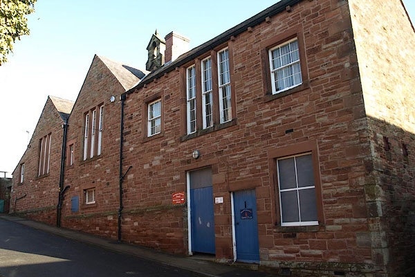
| Brampton Primary School, Brampton | ||
| Brampton Primary School | ||
| Brampton Infants School | ||
| Street:- | Moat Street | |
| locality:- | Brampton | |
| civil parish:- | Brampton (formerly Cumberland) | |
| county:- | Cumbria | |
| locality type:- | school | |
| coordinates:- | NY53186130 | |
| 1Km square:- | NY5361 | |
| 10Km square:- | NY56 | |
| references:- | OS County Series |
|
|
|
||
 BUB02.jpg (taken 16.2.2011) 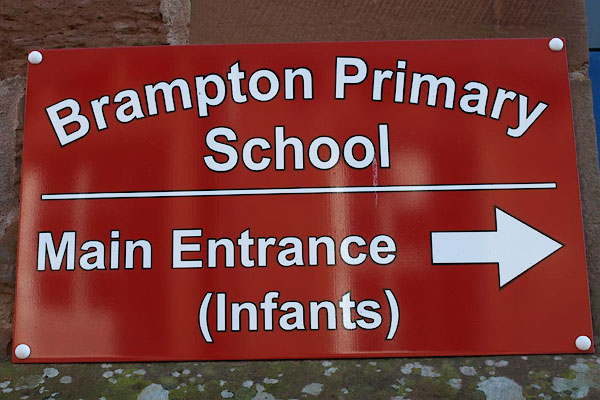 BUB03.jpg Sign. (taken 16.2.2011) |
||
|
|
||
| evidence:- | old map:- OS County Series (Cmd 18 5) |
|
| source data:- | Maps, County Series maps of Great Britain, scales 6 and 25
inches to 1 mile, published by the Ordnance Survey, Southampton,
Hampshire, from about 1863 to 1948. "National School (Boys & Girls)" |
|
|
|
||
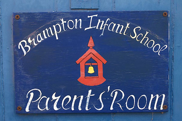 BUB04.jpg Sign for parents. (taken 16.2.2011) |
||
|
|
||
 Lakes Guides menu.