 Old Cumbria Gazetteer
 |
 |
|
| Brampton Staith, Brampton | ||
| Brampton Staith | ||
| Brampton Station | ||
| site name:- | Brampton Railway | |
| locality:- | Staith | |
| locality:- | Brampton | |
| civil parish:- | Brampton (formerly Cumberland) | |
| county:- | Cumbria | |
| locality type:- | railway station (of sorts) | |
| locality type:- | coal depot | |
| coordinates:- | NY53756110 | |
| 1Km square:- | NY5361 | |
| 10Km square:- | NY56 | |
|
|
||
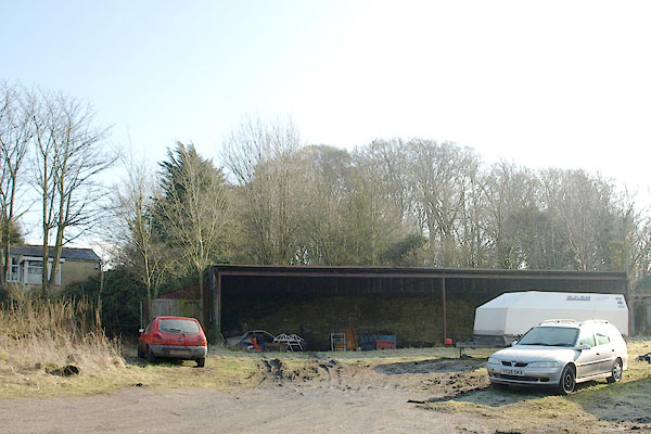 BSE08.jpg The rail line ran on the bank behind this shed. (taken 19.2.2010) 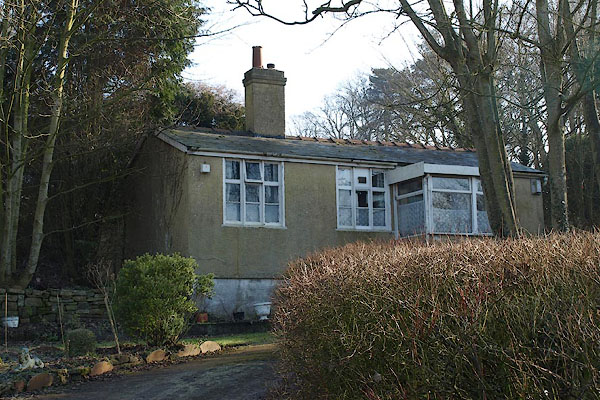 BSE09.jpg Sands View is said to have been the 'ticket' office for the station. (taken 19.2.2010) |
||
|
|
||
| evidence:- | old map:- OS County Series (Cmd 18 5) placename:- Brampton Staith item:- railway bridge |
|
| source data:- | Maps, County Series maps of Great Britain, scales 6 and 25
inches to 1 mile, published by the Ordnance Survey, Southampton,
Hampshire, from about 1863 to 1948.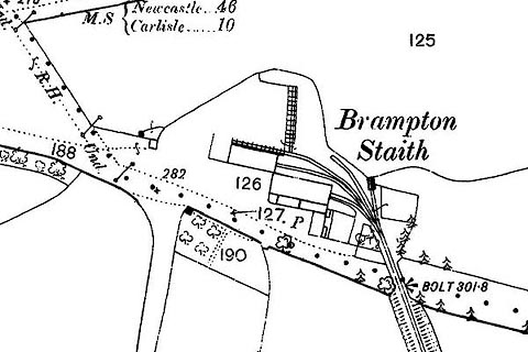 click to enlarge click to enlargeCSRY0008.jpg "Brampton Staith" |
|
|
|
||
 Lakes Guides menu.