 Old Cumbria Gazetteer
 |
 |
|
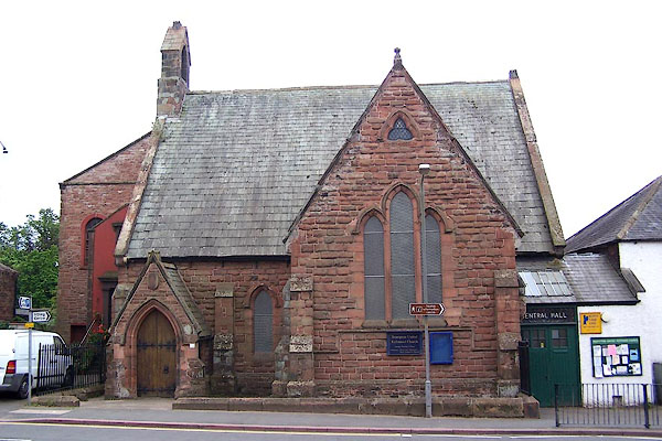
| Brampton United Reformed Church, Brampton | ||
| Brampton United Reformed Church | ||
| Street:- | Moat Side | |
| locality:- | Brampton | |
| civil parish:- | Brampton (formerly Cumberland) | |
| county:- | Cumbria | |
| locality type:- | chapel | |
| coordinates:- | NY53086117 | |
| 1Km square:- | NY5361 | |
| 10Km square:- | NY56 | |
|
|
||
 BMM69.jpg (taken 11.8.2006) |
||
|
|
||
| evidence:- | old map:- OS County Series (Cmd 18 5) |
|
| source data:- | Maps, County Series maps of Great Britain, scales 6 and 25
inches to 1 mile, published by the Ordnance Survey, Southampton,
Hampshire, from about 1863 to 1948. "Presb. Chap." |
|
|
|
||
 Lakes Guides menu.