Old Cumbria Gazetteer
 |
 |
|
||
| Brough | ||||
| Brough-under-Stainmore | ||||
| Market Brough | ||||
| civil parish:- | Brough (formerly Westmorland) | |||
| county:- | Cumbria | |||
| locality type:- | locality | |||
| locality type:- | buildings | |||
| locality type:- | market town | |||
| locality type:- | selected place | |||
| coordinates:- | NY79501461 (etc) | |||
| 1Km square:- | NY7914 | |||
| 10Km square:- | NY71 | |||
| latitude; longitude:- | 2d 19.0m W; 54d 31.6m N | |||
|
|
||||
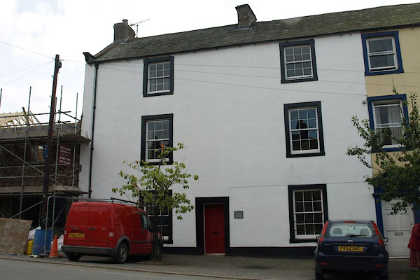
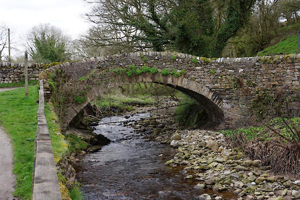
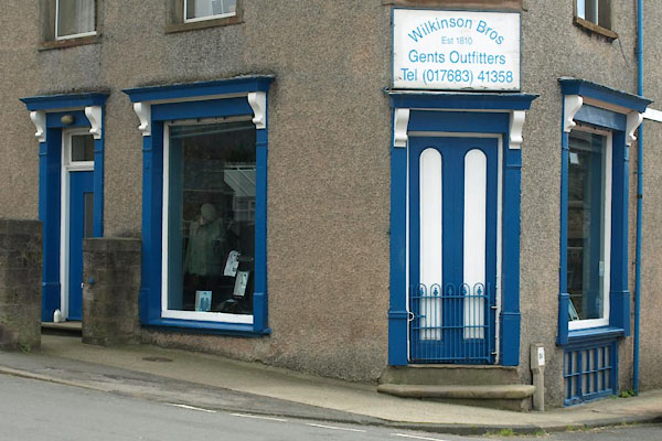
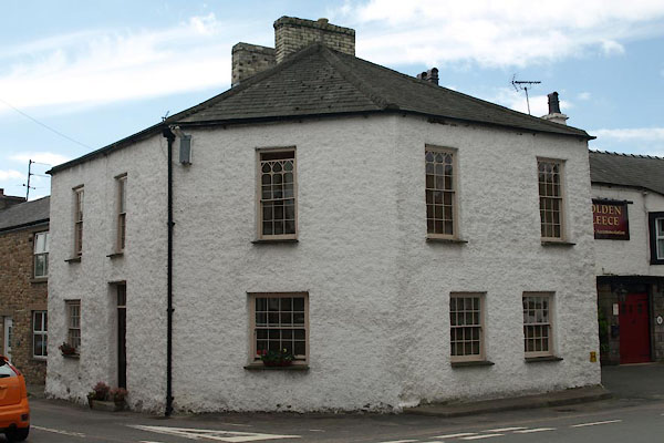
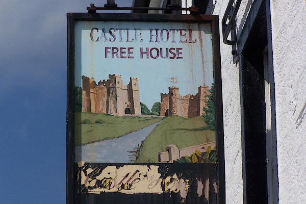
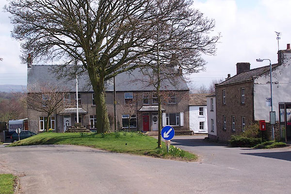
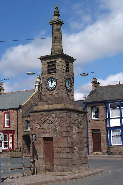
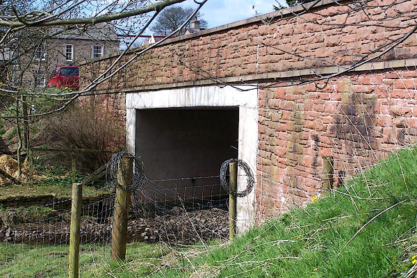
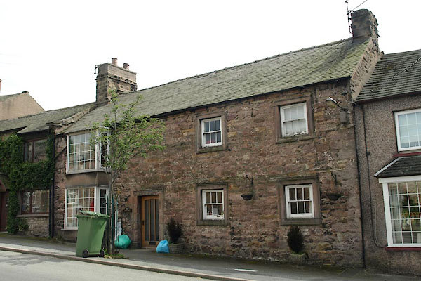
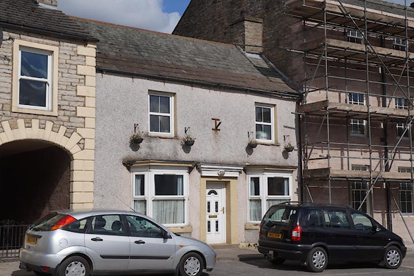
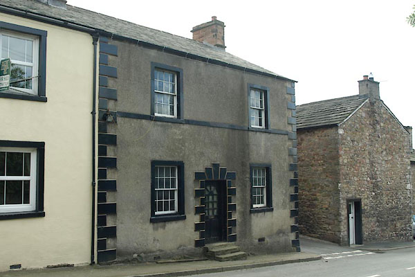
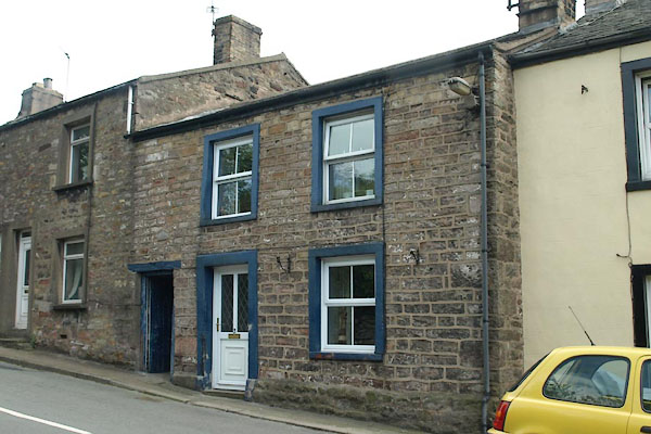
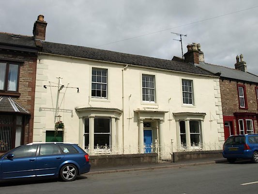
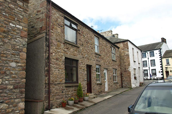
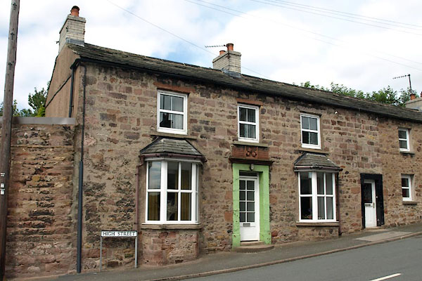
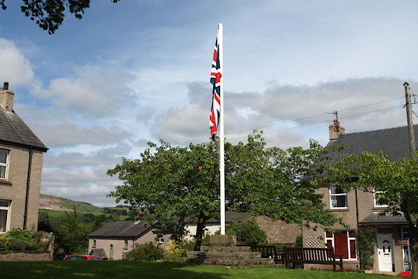
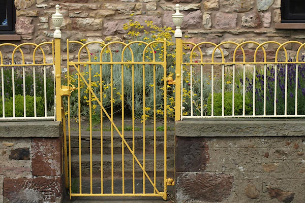
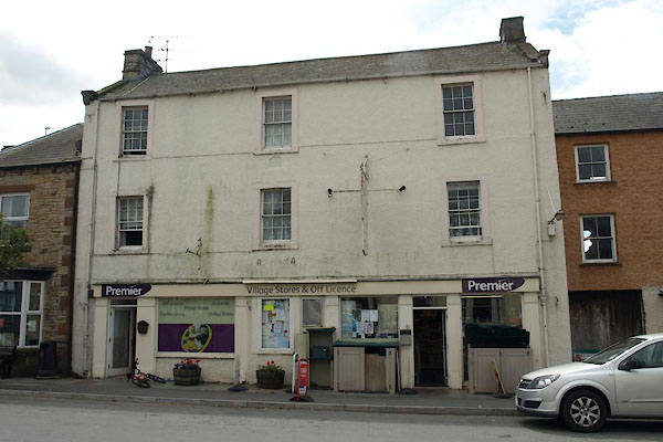
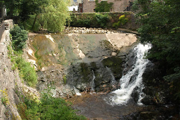
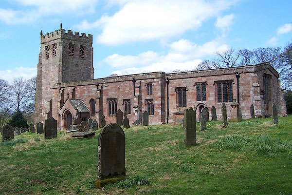
 BLX23.jpg (taken 21.4.2006)  BLX24.jpg (taken 21.4.2006) |
||||
|
|
||||
| evidence:- | old map:- OS County Series (Wmd 16 15) placename:- Market Brough placename:- Brough under Stainmore placename:- Church Brough |
|||
| source data:- | Maps, County Series maps of Great Britain, scales 6 and 25
inches to 1 mile, published by the Ordnance Survey, Southampton,
Hampshire, from about 1863 to 1948. OS County Series (Wmd 16 16) |
|||
|
|
||||
| evidence:- | old map:- Gough 1350s-60s placename:- Burgh c. |
|||
| source data:- | Map, colour photozincograph copy, reduced size facsimile, Gough
Map of Britain, scale about 28.5 miles to 1 inch, published by
the Ordnance Survey, Southampton, Hampshire, 1875. click to enlarge click to enlargeGgh1Cm.jpg item:- JandMN : 33 Image © see bottom of page |
|||
|
|
||||
| evidence:- | old map:- Gough 1350s-60s placename:- Burgh c. |
|||
| source data:- | Map, lithograph facsimile, Gough Map of Britain, 20 miles to 1
inch? published by the Ordnance Survey, Southampton, Hampshire,
1935. click to enlarge click to enlargeGgh2Cm.jpg item:- JandMN : 34 Image © see bottom of page |
|||
|
|
||||
| evidence:- | probably old map:- Ptolemy 1540 placename:- Burg |
|||
| source data:- | Map, copy, uncoloured lithograph? Anglia II Nova Tabula, New Map
of England, scale about 50 miles to 1 inch, data in the
Geographia by Claudius Ptolemy, engraved by Sebastian Munster,
Basle, Switzerland, 1540.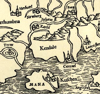 click to enlarge click to enlargePTY4Cm.jpg "Burg" circle, buildings; town item:- private collection : 131 Image © see bottom of page |
|||
|
|
||||
| evidence:- | old map:- Lloyd 1573 placename:- Burgh |
|||
| source data:- | Map, hand coloured copper plate engraving, Angliae Regni,
Kingdom of England, with Wales, scale about 24 miles to 1 inch, authored by Humphrey
Lloyd, Denbigh, Clwyd, drawn and engraved
by Abraham Ortelius, Netherlands, 1573. click to enlarge click to enlargeLld1Cm.jpg "Burgh" item:- Hampshire Museums : FA1998.69 Image © see bottom of page |
|||
|
|
||||
| evidence:- | descriptive text:- Keer 1605 (edn 1620) placename:- Verterae placename:- Burgh under Stanemore |
|||
| source data:- | Map, Westmorlandia et Comberlandia, ie Westmorland and
Cumberland now Cumbria, scale about 16 miles to 1 inch, probably
by Pieter van den Keere, or Peter Keer, about 1605, published
about 1605 to 1676. goto source goto sourcesecond page "(8) Places of memorable note for Antiquitie are Verterae, mentioned by Antonine the Emperour; ... In [which] ... the Northern English conspired against William the Conquerour in the beginning of the Norman government: ..." goto sourcethird page "... Verterae is long since decayed, and the name of it changed into Burgh: for it is commonly called Burgh under Stanemore. In which, it is said, a Romane Captaine made his abode with a band of Directores, in the declining age of the Romane Empire. These two places [Brough and Appleby] William of Newborough called Princely Holds, and writeth that William King of Scots a little before he himselfe was taken prisoner at Alnewicke, surprized them on a sodaine, but King John recovered them after, and liberally bestowed them upon Robert Vipont, for his many worthy services." |
|||
|
|
||||
| evidence:- | hearth tax returns:- Hearth Tax 1670 placename:- Greatt Brough |
|||
| source data:- | Records, hearth tax returns, exchequer duplicates, Westmorland,
1670. "Greatt Brough" |
|||
|
|
||||
| evidence:- | old map:- Sanson 1679 placename:- Burgh |
|||
| source data:- | Map, hand coloured engraving, Ancien Royaume de Northumberland
aujourdhuy Provinces de Nort, ie the Ancient Kingdom of
Northumberland or the Northern Provinces, scale about 9.5 miles
to 1 inch, by Nicholas Sanson, Paris, France, 1679. click to enlarge click to enlargeSAN2Cm.jpg "Burgh" circle, building and tower, flag; town? item:- Dove Cottage : 2007.38.15 Image © see bottom of page |
|||
|
|
||||
| evidence:- | old map:- Morden 1695 (EW) placename:- Brough |
|||
| source data:- | Map, hand coloured engraving, England, including Wales, scale
about 27 miles to 1 inch, by Robert Morden, published by Abel
Swale Awnsham and John Churchil, London, about 1695. click to enlarge click to enlargeMRD3Cm.jpg "Brough" circle; village or town item:- JandMN : 339 Image © see bottom of page |
|||
|
|
||||
| evidence:- | old map:- Morden 1695 (Wmd) |
|||
| source data:- | Map, hand coloured engraving, Westmorland, scale about 2.5 miles to 1 inch, by Robert
Morden, published by Abel Swale, the Unicorn, St Paul's Churchyard, Awnsham, and John
Churchill, the Black Swan, Paternoster Row, London, 1695.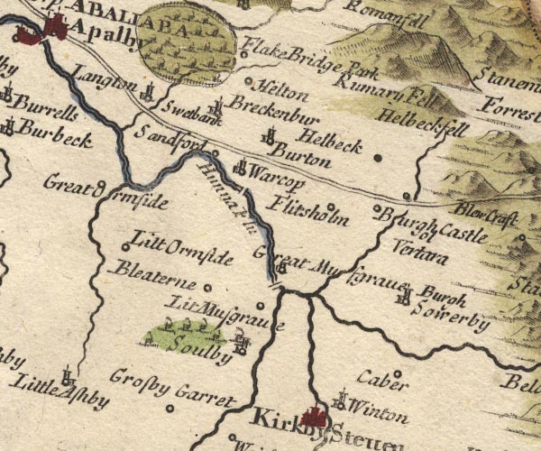 MD10NY71.jpg Circle, not labelled. item:- JandMN : 24 Image © see bottom of page |
|||
|
|
||||
| evidence:- | old map:- Badeslade 1742 placename:- Brough |
|||
| source data:- | Maps, Westmorland North from London, scale about 10 miles to 1
inch, and Cumberland North from London, scale about 11 miles to
1 inch, with descriptive text, by Thomas Badeslade, London,
engraved and published by William Henry Toms, Union Court,
Holborn, London, 1742; published 1742-49. "Brough Market Wednesday." |
|||
|
|
||||
| evidence:- | old map:- Badeslade 1742 placename:- Brough |
|||
| source data:- | Map, uncoloured engraving, A Map of Westmorland North from
London, scale about 10 miles to 1 inch, with descriptive text,
by Thomas Badeslade, London, engraved and published by William
Henry Toms, Union Court, Holborn, London, 1742. click to enlarge click to enlargeBD12.jpg "Brough" circle, tower/s, upright lowercase text; town item:- Dove Cottage : 2007.38.62 Image © see bottom of page |
|||
|
|
||||
| evidence:- | descriptive text:- Simpson 1746 placename:- Brough under Stanemore placename:- Burgh under Stanemore placename:- Lower Brough placename:- Market Brough placename:- Verterae item:- market |
|||
| source data:- | Atlas, three volumes of maps and descriptive text published as
'The Agreeable Historian, or the Compleat English Traveller
...', by Samuel Simpson, 1746. goto source Page 1022:- "... William King of Scots took this Town [Appleby], and the Burgh under Stanemore by Suprize, a little before himself was taken at Alnwick; but they were afterward recovered by King John, ..." goto sourcePage 1024:- "..." "Brough, or Burgh, under Stanemore, i.e.a Borough under a stony Mountain. It stands on a Rivulet about two Miles from the River Eden, and is divided into [two]" goto sourcePage 1025:- "two Towns, viz. the Upper alias Church Brough, ... The other Part is called Lower Brough from its Situation, and Market Brough from its Market, which is pretty considerable, and is kept on Thursday." goto sourcePage 1025:- "..." "Verterae must be Brough under Stanemore for several Reasons, viz. the Name which imports Antiquity, its Situation upon a Roman Highway, and the exact Agreement of the Distances from Levatrae and Brovonacum." |
|||
|
|
||||
| evidence:- | old map:- Simpson 1746 map (Wmd) placename:- Brough |
|||
| source data:- | Map, uncoloured engraving, Westmorland, scale about 8 miles to 1
inch, printed by R Walker, Fleet Lane, London, 1746. SMP2NYQ.jpg "Brough" Building, labelled as a town. item:- Dove Cottage : 2007.38.59 Image © see bottom of page |
|||
|
|
||||
| evidence:- | old map:- Bickham 1753-54 (Wmd) placename:- Brough |
|||
| source data:- | Map, uncoloured engraving, perspective view, A Map of
Westmorland, North from London, by George Bickham, James Street,
Bunhill Fields, London, 1753.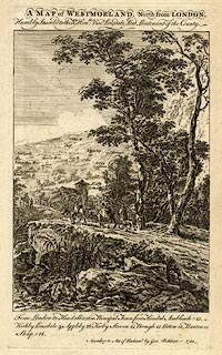 click to enlarge click to enlargeBCK3.jpg "Brough" view (sort of) item:- Armitt Library : 2008.14.71 Image © see bottom of page |
|||
|
|
||||
| evidence:- | old map:- Bowen and Kitchin 1760 placename:- Brough |
|||
| source data:- | Map, hand coloured engraving, A New Map of the Counties of
Cumberland and Westmoreland Divided into their Respective Wards,
scale about 4 miles to 1 inch, by Emanuel Bowen and Thomas
Kitchin et al, published by T Bowles, Robert Sayer, and John
Bowles, London, 1760.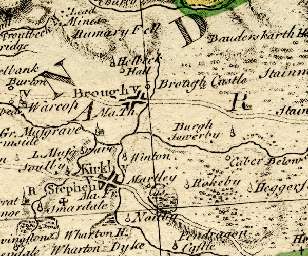 BO18NY71.jpg "Brough Ma. Th. / V" blocks, on road, vicarage, town, market item:- Armitt Library : 2008.14.10 Image © see bottom of page |
|||
|
|
||||
| evidence:- | old map:- Jefferys 1770 (Wmd) placename:- Brough placename:- Verterae |
|||
| source data:- | Map, 4 sheets, The County of Westmoreland, scale 1 inch to 1
mile, surveyed 1768, and engraved and published by Thomas
Jefferys, London, 1770. J5NY71SE.jpg "Brough" blocks on a street plan, labelled in block caps; settlement, market town? and "Verterae" antiquity item:- National Library of Scotland : EME.s.47 Image © National Library of Scotland |
|||
|
|
||||
| evidence:- | old map:- Jefferys 1770 placename:- Brough placename:- Verterae |
|||
| source data:- | Map, 4 sheets, The County of Westmoreland, scale 1 inch to 1
mile, surveyed 1768, and engraved and published by Thomas
Jefferys, London, 1770. JEF5Brgh.jpg "BROUGH / Verterae" blocks on a street plan, Church Brough with large house and castle item:- National Library of Scotland : EME.s.47 Image © National Library of Scotland |
|||
|
|
||||
| evidence:- | old text:- Pennant 1773 placename:- Verterae item:- placename, Brough |
|||
| source data:- | Book, A Tour from Downing to Alston Moor, 1773, by Thomas
Pennant, published by Edward Harding, 98 Pall Mall, London, 1801. goto source Pennant's Tour 1773, page 135 "..." "I then left Kirkby-Stephen, and continued my journey three or four miles northward to Brough or Church Brough, a village noted for its ancient castle, probably built on the site of the Roman station Verterae, where was placed a band of ... Church Brough, a village noted for its ancient castle, probably built on the site of the Roman station Verterae, ..." goto sourcePennant's Tour 1773, page 136 "... The castle which they occupied gave the name which it retains at present, a little corrupted, the Roman appellation to their castlelets being Burgus; and numbers of places abroad, as well as in Britain, retain the name, either simply or in addition, for the same reason, such as Wurtzburg, Ausburg, and others; ..." |
|||
|
|
||||
| evidence:- | old map:- Pennant 1777 placename:- Brough |
|||
| source data:- | Map, hand coloured engraving, A Map of Scotland, Hebrides and
Part of England, drawn for Thomas Pennant, engraved by J Bayly,
published by Benjamin White, London, 1777. click to enlarge click to enlargePEN1Cm.jpg "VERTERAE / Brough" circle; buildings, village, etc item:- private collection : 66 Image © see bottom of page |
|||
|
|
||||
| evidence:- | descriptive text:- West 1778 (11th edn 1821) placename:- Burgh placename:- Galacum |
|||
| source data:- | Guide book, A Guide to the Lakes, by Thomas West, published by
William Pennington, Kendal, Cumbria once Westmorland, and in
London, 1778 to 1821. goto source Tour to the Caves in the West Riding of Yorkshire, late 18th century Page 243:- "..." "... Bremetonacae [Overborough] is placed ... twenty-seven Roman (or twenty-four English) miles south of Galacum, which some antiquaries conceive to be Apulby, though others with more probability think it was Brough: the distances correspond, besides the additional argument of their being nearly in the same direction, whether we conceive Galacum to be Apulby or Brough. The Roman road is easily traced from Ribchester ... to Overborough; afterwards the Roman road goes through Casterton and Middleton, and, as some think, by Borrow-bridge and Orton, to Apulby. Others, and perhaps from better reasons, are of opinion, the road went by Sedbergh, or Sedburgh, over Blewcaster, along Ravenstonedale-street, and through Kirkby-Stephen, to Brough or Burgh." |
|||
|
|
||||
| evidence:- | descriptive text:- Lowther 1780s-90s placename:- Brough under Stainmore placename:- Burgh under Stanmore placename:- Burgh placename:- Lower Brough placename:- Market Brough |
|||
| source data:- | Scrapbook, 4 volumes, of descriptive texts, maps, and prints of
views and coats of arms, for Westmorland and Cumberland,
assembled by a member of the Lowther Family, late 18th early
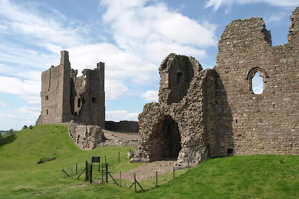
19th century. Text with a print, engraving, Brough Castle, drawn by Samuel Hooper, engraved by Sparrow, 1775:- "BROUGH CASTLE, WESTMORELAND." "..." "'THIS castle of Brough under Stainmore, ..." "THE present proprietor of these ruins is the Earl of Thanet. Of late years they have been much demolished for the sake of the materials, which have been used in building stables, garden walls, and other conveniences; ..." "CAMDEN describing this country says, '... The town itself is dwindled into a village, which is defended with a small fort, and its name is now Burgh; for it is called Burgh under Stanmore, i. e. a Brough under a Stony Mountain. It is divided into two. The Upper, otherwise Church-Brough, ... The other village is called Lower Brough, from its situation; and Market Brough from a market held there every Thursday. ..." |
|||
|
|
||||
| evidence:- | old text:- Camden 1789 placename:- Verterae placename:- Burgh placename:- Burgh under Stanemore item:- Antonine Itineraries; Notitia Dignitatum |
|||
| source data:- | Book, Britannia, or A Chorographical Description of the Flourishing Kingdoms of England,
Scotland, and Ireland, by William Camden, 1586, translated from the 1607 Latin edition
by Richard Gough, published London, 1789. goto source Page 148:- "[VER]TERAE, an antient town mentioned by Antoninus and the Notitia, which last adds that in the decline of the Roman empire here was a Roman praefect stationed with a Numerus Directorum. The town at present reduced to a mean village, fortified with a small rampart, has changed its name to Burgh, by our people called Burgh under Stanemore. Under the later emperors, to remark once for all, small castles proper for war and well supplied, began to be called Burghs by a new name, which, after the removal of the empire into the east, the Germans and other nations seemed to have borrowed from the Greek |
|||
|
|
||||
| evidence:- | old text:- Camden 1789 (Gough Additions) placename:- Lower Brough placename:- Market Brough item:- market |
|||
| source data:- | Book, Britannia, or A Chorographical Description of the Flourishing Kingdoms of England,
Scotland, and Ireland, by William Camden, 1586, translated from the 1607 Latin edition
by Richard Gough, published London, 1789. goto source Page 157:- "..." "The town is divided into two, upper or church Brough (or Western), ... The other part is called Lower or Market Brough, from the inconsiderable market held there every Thursday. The chapel here is now a freeschool." |
|||
|
|
||||
| evidence:- | old map:- Cary 1789 (edn 1805) placename:- Brough |
|||
| source data:- | Map, uncoloured engraving, Westmoreland, scale about 2.5 miles
to 1 inch, by John Cary, London, 1789; edition 1805.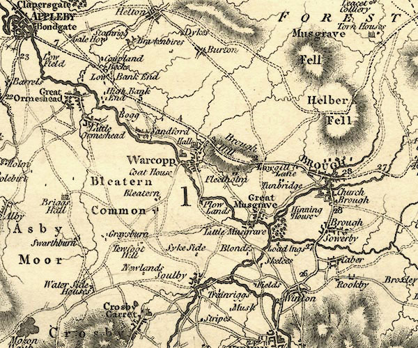 CY24NY71.jpg "BROUGH" blocks, no church symbol, labelled in upright lowercase; village item:- JandMN : 129 Image © see bottom of page |
|||
|
|
||||
| evidence:- | old map:- Aikin 1790 (Wmd) placename:- Brough |
|||
| source data:- | Map, uncoloured engraving, Westmoreland ie Westmorland, scale
about 8.5 miles to 1 inch, by John Aikin, London, 1790.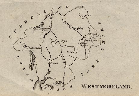 click to enlarge click to enlargeAIK2.jpg "Brough" circle; town item:- JandMN : 51 Image © see bottom of page |
|||
|
|
||||
| evidence:- | old map:- Bailey 1797 placename:- Brough |
|||
| source data:- | Map, soil etc, uncoloured engraving, Westmoreland, scale about
12 miles to 1 inch, by J Bailey, engraved by Neele, Strand,
published by Messrs Robinson, Paternoster Row and G Nicol, Pall
Mall, London, 1797. click to enlarge click to enlargeBY05.jpg "Brough" group of blocks; town item:- Armitt Library : A680.3 Image © see bottom of page |
|||
|
|
||||
| evidence:- | road book:- Cary 1798 (2nd edn 1802) placename:- Brough |
|||
| source data:- | Road book, itineraries, Cary's New Itinerary, by John Cary, 181
Strand, London, 2nd edn 1802. goto source click to enlarge click to enlargeC38281.jpg page 281-282 "Brough - New Inn, Westmor. / At Brough on r. a T.R. to Kirkby Stephen." market town, post office goto source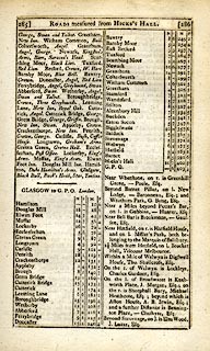 click to enlarge click to enlargeC38285.jpg page 285-286 "INNS. ... Brough, New Inn, Swan. ..." goto source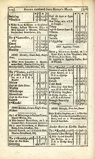 click to enlarge click to enlargeC38315.jpg page 315-316 "Brough / INNS. Brough, New Inn, Swan." market town, post office item:- JandMN : 228.1 Image © see bottom of page |
|||
|
|
||||
| evidence:- | old map:- Cooke 1802 placename:- Brough |
|||
| source data:- | Map, Westmoreland ie Westmorland, scale about 12 miles to 1
inch, by George Cooke, 1802, published by Sherwood, Jones and
Co, Paternoster Road, London, 1824. click to enlarge click to enlargeGRA1Wd.jpg "Brough / 259" blocks, upright lowercase text; town, distance from London item:- Hampshire Museums : FA2000.62.4 Image © see bottom of page |
|||
|
|
||||
| evidence:- | old map:- Luffman 1803 placename:- Brough |
|||
| source data:- | Map, hand coloured engraving, Westmoreland ie Westmorland, scale
about 37 miles to 1 inch, by John Luffman, 28 Little Bell Alley,
Coleman Street, London, 1803-06. click to enlarge click to enlargeLUF4.jpg "Brough" circle; town item:- Dove Cottage : 2007.38.46 Image © see bottom of page |
|||
|
|
||||
| evidence:- | old map:- Laurie and Whittle 1806 placename:- Brough |
|||
| source data:- | Road map, Continuation of the Roads to Glasgow and Edinburgh,
scale about 10 miles to 1 inch, by Nathaniel Coltman? 1806,
published by Robert H Laurie, 53 Fleet Street, London, 1834. click to enlarge click to enlargeLw21.jpg "Brough 261½" market town; distance from London; travellers supplied with post horses or carriages item:- private collection : 18.21 Image © see bottom of page |
|||
|
|
||||
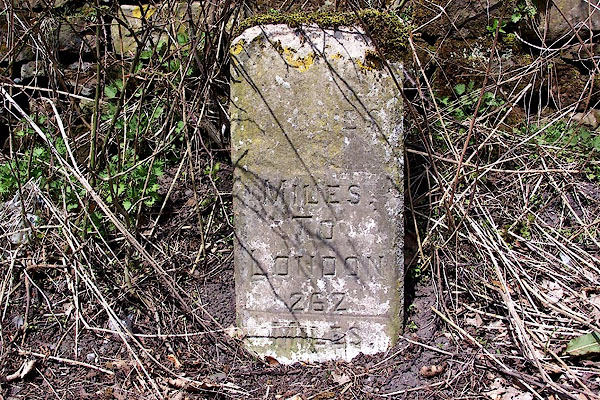
| evidence:- | old text:- Capper 1808 placename:- Brough placename:- Brough-under-Stainmore placename:- Town on a Stony Mountain item:- population; market; fair; spa well |
|||
| source data:- | Gazetteer, A Topographical Dictionary of the United Kingdom,
compiled by Benjamin Pitts Capper, published by Richard
Phillips, Bridge Street, Blackfriars, London, 1808; published
1808-29. goto source "..." "BROUGH, a parish and market town in East ward, Westmoreland, 7 miles from Appleby, and 262 from London. It is also called Brough-under-Stainmore, or Town on a Stony Mountain. It stands upon a rivulet, 2 miles from the river Eden; and contains 117 houses and 694 inhabitants. It has a neat church, a little distance from the town, in the hamlet of Church Brough; ... Near the church, on a hill, are the ruins of an ancient castle, ... On the left of the castle, the prospect is closed by a range of craggy mountains, over the tops of which shrubs and trees are promiscuously scattered; to the right is an extensive fertile plain; and behind, the lofty promontory of Wildbore Fell lifts its brow, and terminates the prospect. It has a bridge, near which there is a spa-well. Market on Thursday. Fairs, second Thursday in April, Thursday before Whit-Sunday, and Brough-hill fair, held in a field 2 miles from the town, 30 September, where immense numbers of cattle, horses, and all kinds of goods are sold. It is a vicarage, value 8l. 18s. 9d. - Housman's Tour, and Burn's Westmoreland." "..." |
|||
|
|
||||
| evidence:- | old map:- Cooper 1808 placename:- Brough |
|||
| source data:- | Map, hand coloured engraving, Westmoreland ie Westmorland, scale
about 9 miles to 1 inch, by H Cooper, 1808, published by R
Phillips, Bridge Street, Blackfriars, London, 1808. click to enlarge click to enlargeCOP4.jpg "Brough" circle with two side bars; town item:- Dove Cottage : 2007.38.53 Image © see bottom of page |
|||
|
|
||||
| evidence:- | old map:- Wallis 1810 (Wmd) placename:- Brough |
|||
| source data:- | Road map, Westmoreland, scale about 19 miles to 1 inch, by James
Wallis, 77 Berwick Street, Soho, 1810, published by W Lewis,
Finch Lane, London, 1835? click to enlarge click to enlargeWAL5.jpg "Brough / 259" town; distance from London item:- JandMN : 63 Image © see bottom of page |
|||
|
|
||||
| evidence:- | descriptive text:- Wallis 1810 placename:- Brough |
|||
| source data:- | Map, Westmoreland, scale about 19 miles to 1 inch, and
Cumberland, scale about 16 miles to 1 inch, by James Wallis, 77
Berwick Street, Soho, London, 1810; published 1810-36. "PRINCIPAL INNS, RECOMMENDED TO TRAVELLERS AND FAMILIES." "Brough: Swan, Black Bull, Fleece, New Inn." "..." "PRINCIPAL FAIRS." "Brough: Thursday before Whitsunday, horned cattle and sheep." |
|||
|
|
||||
| evidence:- | old text:- Gents Mag placename:- Brough under Stainmore |
|||
| source data:- | Magazine, The Gentleman's Magazine or Monthly Intelligencer or
Historical Chronicle, published by Edward Cave under the
pseudonym Sylvanus Urban, and by other publishers, London,
monthly from 1731 to 1922. goto source Gentleman's Magazine 1814 part 2 p.627 "..." "BROUGH, (or Brough under Stanimore (sic), to distinguish it from other places of a similar name,) one stage on the London side of Appleby, is a town of no great importance, except that its Castle was one of the number belonging to the great Duchess of Pembroke; ..." |
|||
|
|
||||
| evidence:- | old map:- Hall 1820 (Wmd) placename:- Brough |
|||
| source data:- | Map, hand coloured engraving, Westmoreland ie Westmorland, scale
about 14.5 miles to 1 inch, by Sidney Hall, London, 1820,
published by Samuel Leigh, 18 Strand, London, 1820-31. click to enlarge click to enlargeHA18.jpg "Brough / 261" circle, upright lowercase text; town; distance from London item:- Armitt Library : 2008.14.58 Image © see bottom of page |
|||
|
|
||||
| evidence:- | old map:- Perrot 1823 placename:- Brough |
|||
| source data:- | Map, hand coloured engraving, Cumberland and Westmoreland ie
Westmorland, scale about 38 miles to 1 inch, by Aristide Michel
Perrot, engraved by Migneret, 1823, published by Etienne Ledoux,
9 Rue Guenegaud, Paris, France, 1824-48. click to enlarge click to enlargePER2.jpg "Brough" circle; town item:- Dove Cottage : 2007.38.45 Image © see bottom of page |
|||
|
|
||||
| evidence:- | old map:- Greenwood 1824 (Wmd) placename:- Brough |
|||
| source data:- | Map, hand coloured engraving, Map of the County of Westmorland,
scale about 1 inch to 1 mile, by C and J Greenwood, published by
George Pringle jnr, 70 Queen Street, Cheapside, London, 1824. grw5brgh.jpg "BROUGH" street map; labelled in block caps for a market town; notice the castle. item:- Armitt Library : A1827 Image © see bottom of page |
|||
|
|
||||
| evidence:- | old map:- Cobbett 1832 placename:- Brough |
|||
| source data:- | Map, uncoloured engraving, Westmoreland ie Westmorland, scale
about 7 miles to 1 inch, by William Cobbett, 11 Bolt Court,
Fleet Street, London, 1832. click to enlarge click to enlargeCOB4.jpg "Brough" dot and circle; town item:- JandMN : 116 Image © see bottom of page |
|||
|
|
||||
| evidence:- | old map:- Ford 1839 map placename:- Brough |
|||
| source data:- | Map, uncoloured engraving, Map of the Lake District of
Cumberland, Westmoreland and Lancashire, scale about 3.5 miles
to 1 inch, published by Charles Thurnam, Carlisle, and by R
Groombridge, 5 Paternoster Row, London, 3rd edn 1843. FD02NY71.jpg "BROUGH" item:- JandMN : 100.1 Image © see bottom of page |
|||
|
|
||||
| evidence:- | old itinerary:- Tinsley 1877 (Roads/Cum) placename:- Brough |
|||
| source data:- | Itinerary, route 3, London to Edinburgh and Glasgow via Boroughbridge and Carlisle,
including from Bowes, Durham; through Brough, Appleby, Westmorland; then Penrith,
Carlisle, Longtown, Cumberland; and into Scotland, published by Tinsley Bros, 8 Catherine
Street, Strand, London, 1877.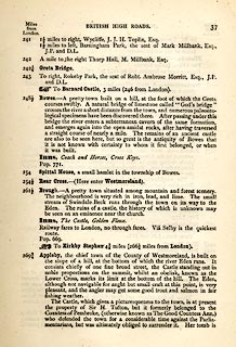 click to enlarge click to enlargeTLY137.jpg pp.36-49 in British High Roads, North and North Eastern Routes; pp.37-39. printed at p.36:- "... / ROUTE III. - LONDON to EDINBURGH and GLASGOW via / BOROUGHBRIDGE and CARLISLE (See Maps 31 to 42.) / Boroughbridge 206 (as per Route I.), Leeming 221½, Catterick 228, Greta Bridge 242½, Bowes 248½, Brough 261½, Appleby 269¾, / Penrith 283½, Carlisle 301½, Longtown 310¼, Langholm 321¾, / Hawick 349½, Selkirk 356, Middleton 379½, Edinburgh 392½. / ..." item:- private collection : 270.1 Image © see bottom of page |
|||
|
|
||||
| evidence:- | old strip map:- Tinsley 1877 (Roads/Cum) placename:- Brough |
|||
| source data:- | Strip map, road map, part of London to Edinburgh via Boroughbridge and Carlisle, including
from Rey Cross to beyond Brough, Westmorland, published by Tinsley Bros, 8 Catherine
Street, Strand, London, 1877.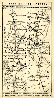 click to enlarge click to enlargeTLY1M1.jpg Map pp.33-34 in British High Roads, North and North Eastern Routes. printed at top:- "BRITISH HIGH ROADS. / 33 LONDON TO EDINBURGH, VIA BOROUGHBRIDGE &CARLISLE. 34" item:- private collection : 270.3 Image © see bottom of page |
|||
|
|
||||
| evidence:- | market notes:- placename:- Brough under Staynmore placename:- Burgh item:- market |
|||
| source data:- | www.history.ac.uk/cmh/gaz/gazweb2.htmPalmer's Index No.93:: Public Record OfficeOwen: 1792: New Book of FairsBowen, Emanuel &Kitchin, Thomas: 1760: New Map of the Counties of Cumberland and Westmoreland | |||
|
|
||||
 Post Office maps Post Office maps |
||||
|
|
||||
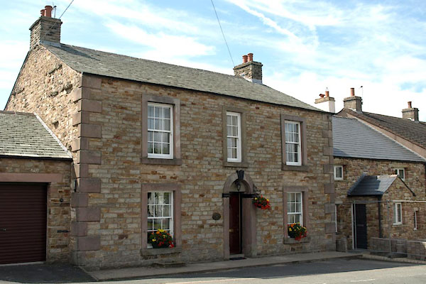
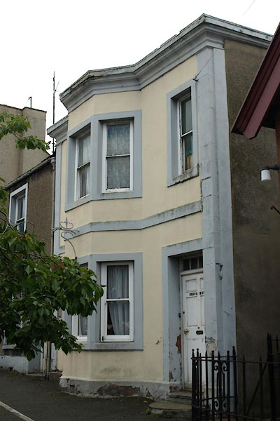
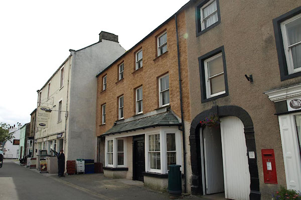
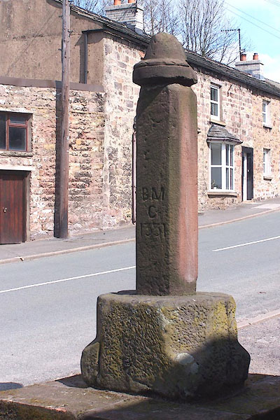
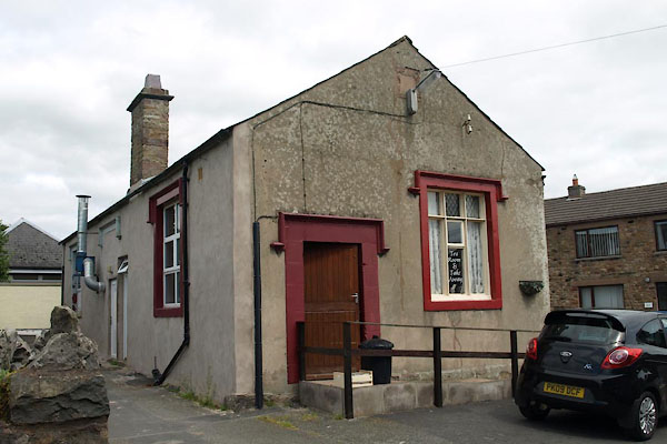
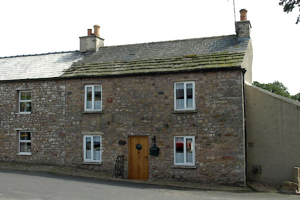
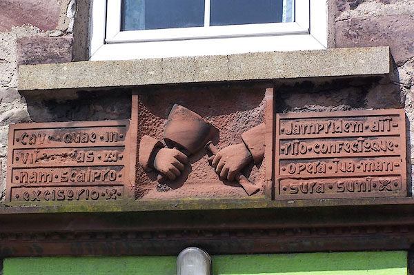 BLX26.jpg Plaque on a house in High Street, east of the bridge, north side, with a mason's tools (taken 21.4.2006) |
||||
|
|
||||
| places:- |
|
|||
|
||||
|
||||
|
||||
|
||||
|
||||
|
||||
|
||||
|
||||
|
||||
|
||||
|
||||
|
||||
|
||||
|
||||
|
||||
|
||||
|
||||
|
||||
|
||||
|
||||
|
||||
|
||||
|
||||
|
||||
|
||||
|
||||
|
||||
|
||||
|
||||
|
||||
|
||||
|
||||
|
||||
|
||||
|
||||
|
||||
|
||||
|
||||
|
||||
|
||||
|
||||
|
||||
|
||||
|
||||
|
||||
|
||||
|
||||
|
||||
|
||||
|
||||
|
||||
|
||||
|
||||
|
||||
|
||||
|
||||
|
||||
|
||||
|
||||
|
||||
|
||||
|
||||
|
||||
|
||||
|
||||
|
||||
|
||||
Lakes Guides menu.