 Old Cumbria Gazetteer
 |
 |
|
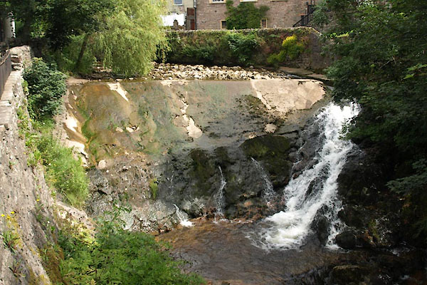
| weir, Brough | ||
| site name:- | Swindale Beck (3) | |
| locality:- | Brough | |
| civil parish:- | Brough (formerly Westmorland) | |
| county:- | Cumbria | |
| locality type:- | weir | |
| coordinates:- | NY79491452 | |
| 1Km square:- | NY7914 | |
| 10Km square:- | NY71 | |
|
|
||
 BVC26.jpg (taken 29.7.2011) |
||
|
|
||
| evidence:- | old map:- OS County Series (Wmd 16 15) |
|
| source data:- | Maps, County Series maps of Great Britain, scales 6 and 25
inches to 1 mile, published by the Ordnance Survey, Southampton,
Hampshire, from about 1863 to 1948. "Weir" |
|
|
|
||
 Lakes Guides menu.