button to main menu  Old Cumbria Gazetteer
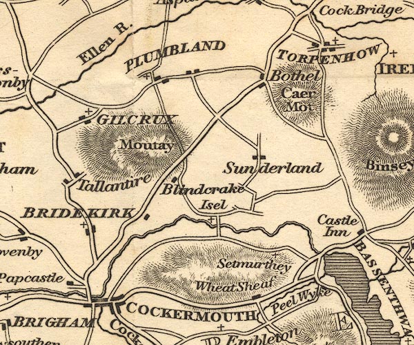
Ellen, River
runs into:-    Irish Sea

civil parish:-   Maryport (formerly Cumberland)
civil parish:-   Crosscanonby (formerly Cumberland)
civil parish:-   Dearham (formerly Cumberland)
civil parish:-   Oughterside and Allerby (formerly Cumberland)
civil parish:-   Gilcrux (formerly Cumberland)
civil parish:-   Plumbland (formerly Cumberland)
civil parish:-   Aspatria (formerly Cumberland)
civil parish:-   Allhallows (formerly Cumberland)
civil parish:-   Blennerhasset and Torpenhow (formerly Cumberland)
civil parish:-   Boltons (formerly Cumberland)
civil parish:-   Ireby (formerly Cumberland)
county:-   Cumbria
locality type:-   river
locality type:-   boundary
locality type:-   parish boundary
1Km square:-   NY2436 (etc) 
1Km square:-   NY1641 (etc) 
1Km square:-   NY0637 (etc) 
10Km square:-   NY23
10Km square:-   NY03
10Km square:-   NY14
SummaryText:-   rises in the Uldale Fells


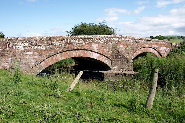
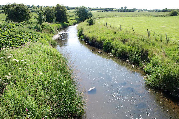
photograph
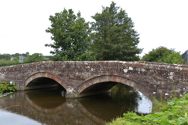
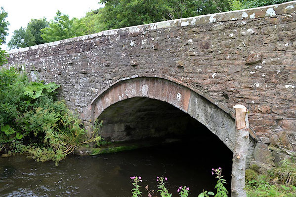
BRB38.jpg  At Arkleby Bridge.
(taken 10.7.2009)  
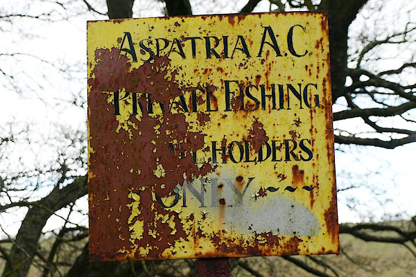
photograph
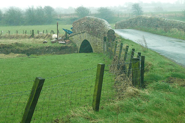
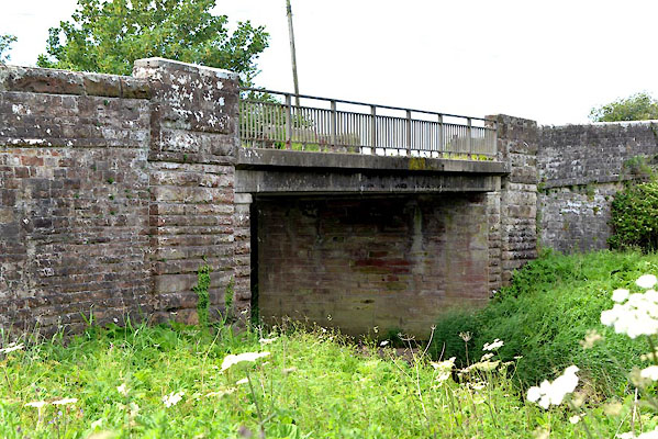
BQH96.jpg  Sign near Ellenhall Bridge:-
"ASPATRIA A.C / PRIVATE FISHING / PERMIT HOLDERS / ONLY" (taken 27.3.2009)  

evidence:-   old map:- OS County Series (Cmd 35 12) 
placename:-  Ellen, River
source data:-   Maps, County Series maps of Great Britain, scales 6 and 25 inches to 1 mile, published by the Ordnance Survey, Southampton, Hampshire, from about 1863 to 1948.
OS County Series (Cmd 35 16) 
OS County Series (Cmd 36 7) 
OS County Series (Cmd 36 9) 
OS County Series (Cmd 36 12) 
OS County Series (Cmd 45 2) 
OS County Series (Cmd 45 3) 
OS County Series (Cmd 47 1) 
source data:-   Maps, County Series maps of Great Britain, scales 6 and 25 inches to 1 mile, published by the Ordnance Survey, Southampton, Hampshire, from about 1863 to 1948.
"CHANNEL OF THE RIVER ELLEN"

evidence:-   old map:- OS County Series (Cmd 45 5) 
source data:-   Maps, County Series maps of Great Britain, scales 6 and 25 inches to 1 mile, published by the Ordnance Survey, Southampton, Hampshire, from about 1863 to 1948.
"Ordinary Spring Tides flow to this Bridge"
Ellen Bridge, NY03953646 

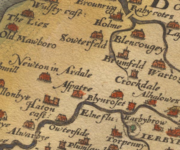
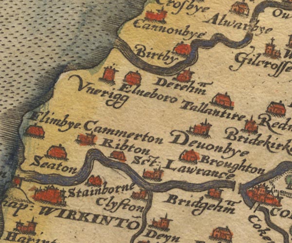
evidence:-   old map:- Saxton 1579
placename:-  Elne Flu.
source data:-   Map, hand coloured engraving, Westmorlandiae et Cumberlandiae Comitatus ie Westmorland and Cumberland, scale about 5 miles to 1 inch, by Christopher Saxton, London, engraved by Augustinus Ryther, 1576, published 1579-1645.
image
Sax9NY14.jpg
"Elne flu:"
image
Sax9NY03.jpg
item:-  private collection : 2
Image © see bottom of page

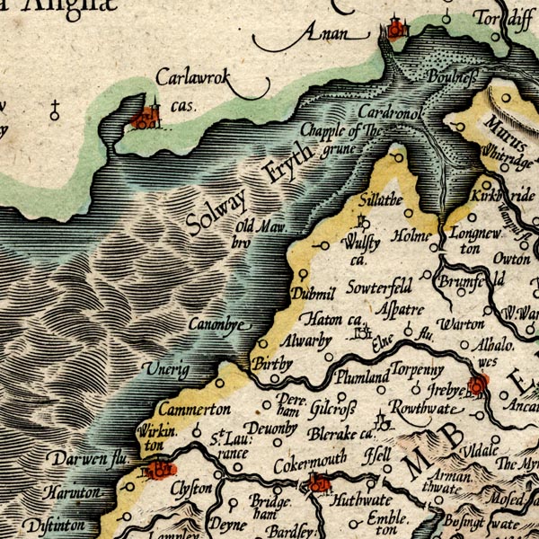
evidence:-   old map:- Mercator 1595 (edn?) 
placename:-  Elne flu.
source data:-   Map, hand coloured engraving, Northumbria, Cumberlandia, et Dunelmensis Episcopatus, ie Northumberland, Cumberland and Durham etc, scale about 6.5 miles to 1 inch, by Gerard Mercator, Duisberg, Germany, about 1595.
image
MER8CumB.jpg
"Elne flu."
double line with stream lines; river, running into the sea 
item:-  JandMN : 169
Image © see bottom of page

evidence:-   old map:- Keer 1605
source data:-   Map, hand coloured engraving, Westmorland and Cumberland, scale about 16 miles to 1 inch, probably by Pieter van den Keere, or Peter Keer, about 1605 edition perhaps 1676.
image  click to enlarge
KER8.jpg
""
 
item:-  Dove Cottage : 2007.38.110
Image © see bottom of page

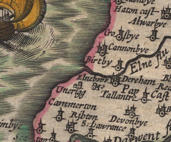
evidence:-   old map:- Speed 1611 (Cmd) 
placename:-  Elne flu.
source data:-   Map, hand coloured engraving, Cumberland and the Ancient Citie Carlile Described, scale about 4 miles to 1 inch, by John Speed, 1610, published by J Sudbury and George Humble, Popes Head Alley, London, 1611-12.
image
SP11NY03.jpg
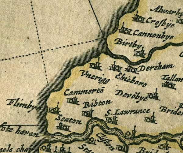
"Elne flu"
double line with stream lines, runs into the sea 
item:-  private collection : 16
Image © see bottom of page

evidence:-   poem:- Drayton 1612/1622 text
placename:-  Elne
source data:-   Poem, Poly Olbion, by Michael Drayton, published by published by John Marriott, John Grismand and Thomas Dewe, and others? London, part 1 1612, part 2 1622.
image DRY6P166, button  goto source
page 166:-  "... Elne upon the South, in sallying to the Sea
Confines her [Westward Forest] ..."

evidence:-   old map:- Drayton 1612/1622
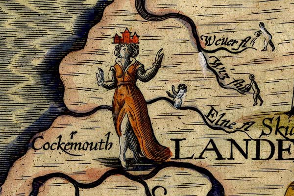
placename:-  Elne Fl.
source data:-   Map, hand coloured engraving, Cumberlande and Westmorlande, by Michael Drayton, probably engraved by William Hole, scale about 4 or 5 miles to 1 inch, published by John Mariott, John Grismand, and Thomas Dewe, London, 1622.
image
DRY506.jpg
"Elne fl"
River, naiad. 
item:-  JandMN : 168
Image © see bottom of page

evidence:-   old map:- Jenner 1643
source data:-   Tables of distances with a maps, Westmerland, scale about 16 miles to 1 inch, and Cumberland, scale about 21 miles to 1 inch, published by Thomas Jenner, London, 1643; published 1643-80.
image
JEN4Sq.jpg
wiggly line 

evidence:-   old map:- Jansson 1646
source data:-   Map, hand coloured engraving, Cumbria and Westmoria, ie Cumberland and Westmorland, scale about 3.5 miles to 1 inch, by John Jansson, Amsterdam, Netherlands, 1646.
image
JAN3NY03.jpg
Double wiggly line, tapering to single. 
item:-  JandMN : 88
Image © see bottom of page
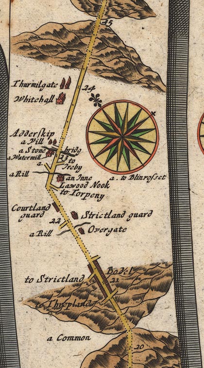
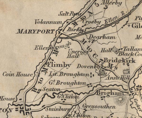
evidence:-   old map:- Ogilby 1675 (plate 96) 
source data:-   Road strip map, hand coloured engraving, the Road from Kendal to Cockermouth, and the Road from Egremond to Carlisle, scale about 1 inch to 1 mile, by John Ogilby, London, 1675.
image
OG96Bm20.jpg
In mile 23, Cumberland. 
River crossed by the road over:-  "a Stone bridg"
no bridge is drawn. 
item:-  JandMN : 22
Image © see bottom of page

evidence:-   old map:- Sanson 1679
source data:-   Map, hand coloured engraving, Ancien Royaume de Northumberland aujourdhuy Provinces de Nort, ie the Ancient Kingdom of Northumberland or the Northern Provinces, scale about 9.5 miles to 1 inch, by Nicholas Sanson, Paris, France, 1679.
image  click to enlarge
SAN2Cm.jpg
tapering wiggly line; river 
item:-  Dove Cottage : 2007.38.15
Image © see bottom of page

evidence:-   old map:- Seller 1694 (Cmd) 
source data:-   Map, uncoloured engraving, Cumberland, scale about 12 miles to 1 inch, by John Seller, 1694.
image  click to enlarge
SEL9.jpg
tapering wiggly line; river 
item:-  Dove Cottage : 2007.38.89
Image © see bottom of page

evidence:-   old map:- Morden 1695 (Cmd) 
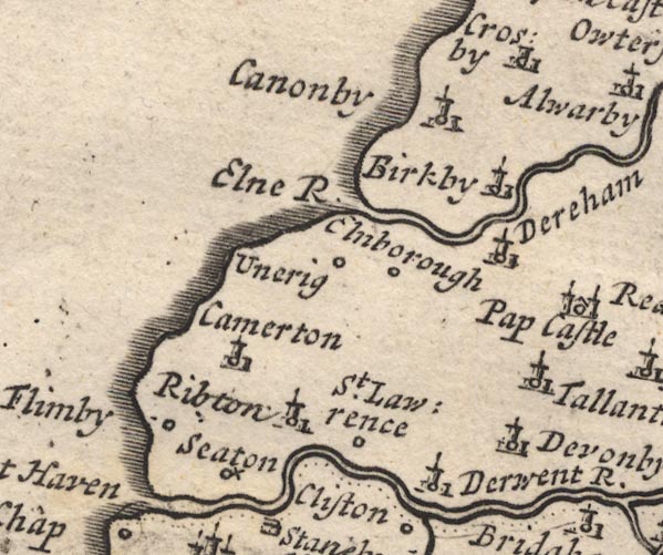
placename:-  Elne River
source data:-   Map, uncoloured engraving, Cumberland, scale about 4 miles to 1 inch, by Robert Morden, 1695, published by Abel Swale, the Unicorn, St Paul's Churchyard, Awnsham, and John Churchill, the Black Swan, Paternoster Row, London, 1695-1715.
image
MD12NY03.jpg
"Elne R."
item:-  JandMN : 90
Image © see bottom of page
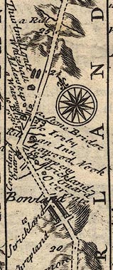
evidence:-   old map:- Bowen 1720 (plate 261) 
source data:-   Road strip map, uncoloured engraving, pl.261, the end of the road from Kendal to Cockermouth and the road from Egremont to Carlisle, scale about 2 miles to 1 inch, published by Emanuel Bowen, St Katherines, London, 1720.
image
B261m20.jpg
"a Stone Bridge"
At mile 23 from Egremont. 
item:-  Dove Cottage : Lowther.36
Image © see bottom of page

evidence:-   old map:- Badeslade 1742
placename:-  Elne River
source data:-   Map, uncoloured engraving, A Map of Cumberland North from London, scale about 11 miles to 1 inch, with descriptive text, by Thomas Badeslade, London, engraved and published by William Henry Toms, Union Court, Holborn, London, 1742.
image  click to enlarge
BD10.jpg
"Elne R."
tapering wiggly line 
item:-  JandMN : 115
Image © see bottom of page

evidence:-   old text:- Gents Mag
placename:-  Uln, River
placename:-  Ilhn, River
placename:-  Eln, River
placename:-  Ellon, River
item:-  placename, Ellen
source data:-   Magazine, The Gentleman's Magazine or Monthly Intelligencer or Historical Chronicle, published by Edward Cave under the pseudonym Sylvanus Urban, and by other publishers, London, monthly from 1731 to 1922.
image G7480004, button  goto source
Gentleman's Magazine 1748 p.4  "... and proceeded forward by Uln or Eln foot. Maps are divided how to spell this river, but it seems most reasonable Uln or Ulhn, because above Ierby, where this water flows, the dale or valley is call'd Uln dale, and the church Uln-dale church. Again from Ellenborough, near its mouth, one would be induced to write it Ellon, and 'tis commonly called at its exit Eln-foot."
"From Eln-foot the shore is a fine hard sand, and the coast above at some distance high and woody,"

evidence:-   old map:- Bowen and Kitchin 1760
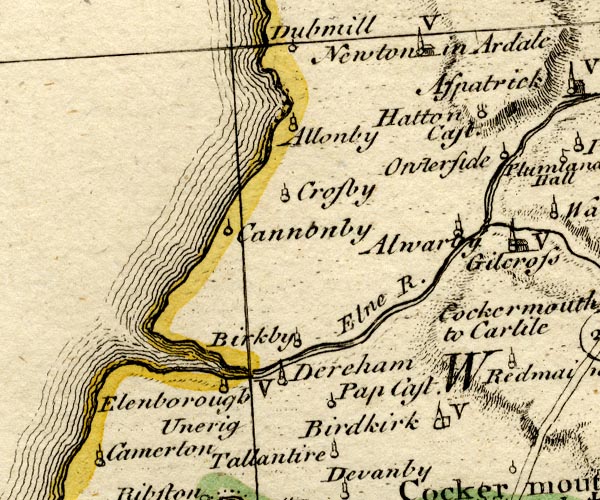
placename:-  Elne River
source data:-   Map, hand coloured engraving, A New Map of the Counties of Cumberland and Westmoreland Divided into their Respective Wards, scale about 4 miles to 1 inch, by Emanuel Bowen and Thomas Kitchin et al, published by T Bowles, Robert Sayer, and John Bowles, London, 1760.
image
BO18NY03.jpg
"Elne R."
double line with stream lines, river mouth at the sea 
item:-  Armitt Library : 2008.14.10
Image © see bottom of page
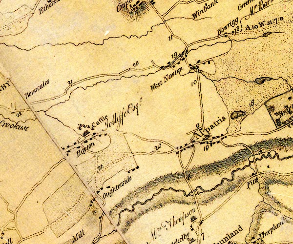
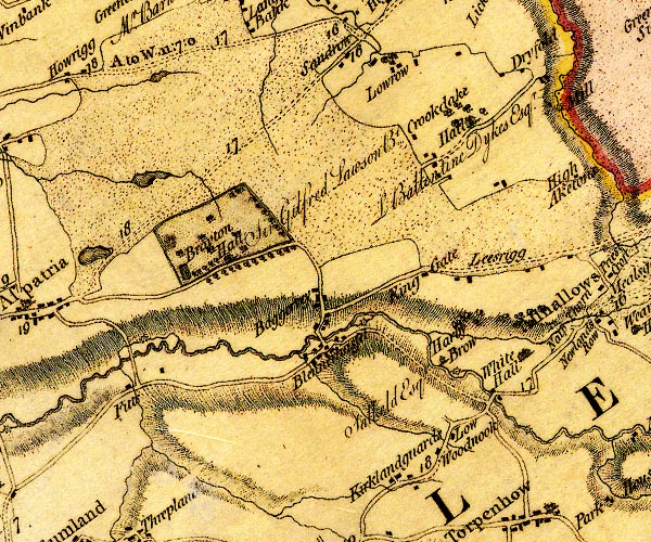
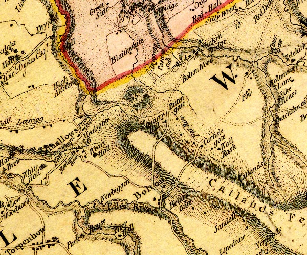
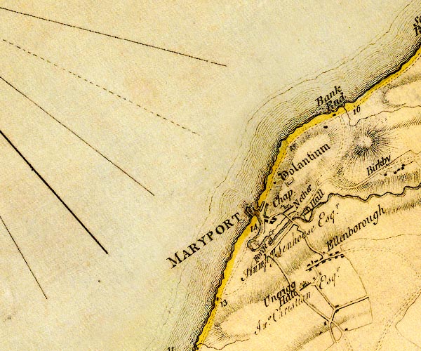
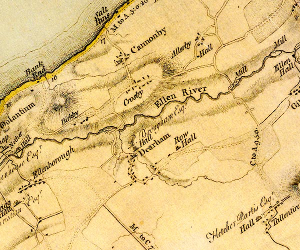
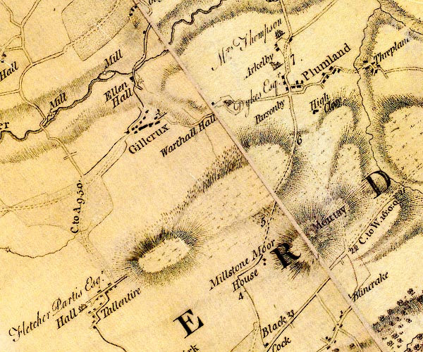
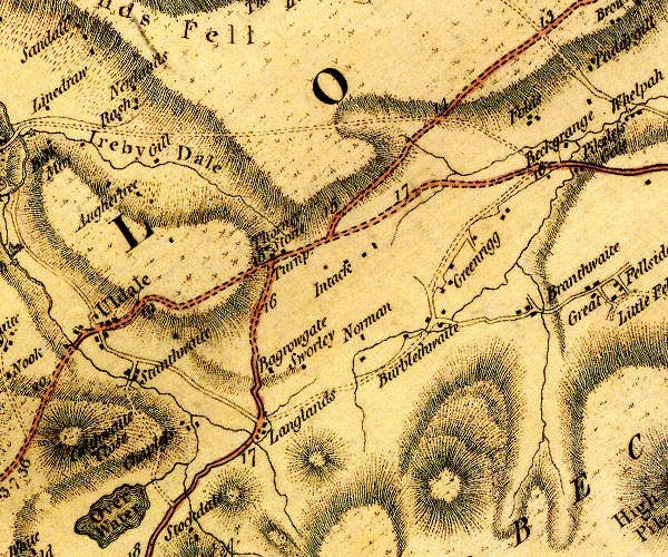
evidence:-   old map:- Donald 1774 (Cmd) 
source data:-   Map, hand coloured engraving, 3x2 sheets, The County of Cumberland, scale about 1 inch to 1 mile, by Thomas Donald, engraved and published by Joseph Hodskinson, 29 Arundel Street, Strand, London, 1774.
image
D4NY14SW.jpg
image
D4NY14SE.jpg
image
D4NY24SW.jpg
"Ellen River"
image
D4NY03NW.jpg
image
D4NY03NE.jpg
"Ellen River"
image
D4NY13NW.jpg
image
D4NY23NE.jpg
single or double wiggly line; a river into the sea at Maryport 
item:-  Carlisle Library : Map 2
Images © Carlisle Library
evidence:-   old map:- West 1784 map
source data:-   Map, hand coloured engraving, A Map of the Lakes in Cumberland, Westmorland and Lancashire, scale about 3.5 miles to 1 inch, engraved by Paas, 53 Holborn, London, about 1784.
image
Ws02NY23.jpg
item:-  Armitt Library : A1221.1
Image © see bottom of page

evidence:-   old text:- Camden 1789
placename:-  Elen, River
placename:-  Elne, River
source data:-   Book, Britannia, or A Chorographical Description of the Flourishing Kingdoms of England, Scotland, and Ireland, by William Camden, 1586, translated from the 1607 Latin edition by Richard Gough, published London, 1789.
image CAM2P171, button  goto source
Page 171:-  "..."
"There still remain ruins of walls at the mouth of the Elen or Elne, as it is now called, which, after a short course, has at its source Ierby, ..."

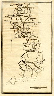
evidence:-   old map:- Skrine 1801
placename:-  Ellen River
source data:-   Map, uncoloured engraving, rivers in Cumberland, Westmorland, Lancashire and Cheshire, scale about 23 miles to 1 inch, by Henry Skrine, published by P Elmsly, London, 1801.
image  click to enlarge
M076.jpg
"Ellen R."
river 
item:-  JandMN : 421
Image © see bottom of page

evidence:-   old map:- Cooke 1802
source data:-   Map, Cumberland, scale about 15.5 miles to 1 inch, by George Cooke, 1802, bound in Gray's New Book of Roads, 1824, published by Sherwood, Jones and Co, Paternoster Road, London, 1824.
image  click to enlarge
GRA1Cd.jpg
tapering wiggly line; river 
item:-  Hampshire Museums : FA2000.62.2
Image © see bottom of page

evidence:-   old map:- Cooke 1802
placename:-  Ellen River
source data:-   Map, The Lakes, Westmorland and Cumberland, scale about 8.5 miles to 1 inch, engravedby Neele and Son, published by Sherwood, Jones and Co, Paternoster Road, London, 1824.
image  click to enlarge
GRA1Lk.jpg
"Ellen R"
tapering wiggly line; river 
item:-  Hampshire Museums : FA2000.62.5
Image © see bottom of page

evidence:-   old map:- Laurie and Whittle 1806
placename:-  Ellen River
source data:-   Road map, Completion of the Roads to the Lakes, scale about 10 miles to 1 inch, by Nathaniel Coltman? 1806, published by Robert H Laurie, 53 Fleet Street, London, 1834.
image  click to enlarge
Lw18.jpg
"Ellen River"
river 
item:-  private collection : 18.18
Image © see bottom of page

evidence:-   old map:- Cooper 1808
placename:-  Ellen River
source data:-   Map, uncoloured engraving, Cumberland, scale about 10.5 miles to 1 inch, drawn and engraved by Cooper, published by R Phillips, Bridge Street, Blackfriars, London, 1808.
image  click to enlarge
COP3.jpg
"Ellen R."
tapering wiggly line; river 
item:-  JandMN : 86
Image © see bottom of page

evidence:-   old map:- Otley 1818
placename:-  Ellen River
source data:-   Map, uncoloured engraving, The District of the Lakes, Cumberland, Westmorland, and Lancashire, scale about 4 miles to 1 inch, by Jonathan Otley, 1818, engraved by J and G Menzies, Edinburgh, Scotland, published by Jonathan Otley, Keswick, Cumberland, et al, 1833.
image
OT02NY13.jpg
"Ellen R."
item:-  JandMN : 48.1
Image © see bottom of page

evidence:-   old map:- Hall 1820 (Cmd) 
placename:-  Ellen River
source data:-   Map, hand coloured engraving, Cumberland, scale about 21 miles to 1 inch, engraved by Sidney Hall, published by S Leigh, 18 Strand, London, 1820-31.
image  click to enlarge
HA14.jpg
"Ellen R."
tapering wiggly line; river 
item:-  JandMN : 91
Image © see bottom of page

evidence:-   descriptive text:- Otley 1823 (5th edn 1834) 
source data:-   Guide book, A Concise Description of the English Lakes, the mountains in their vicinity, and the roads by which they may be visited, with remarks on the mineralogy and geology of the district, by Jonathan Otley, published by the author, Keswick, Cumberland now Cumbria, by J Richardson, London, and by Arthur Foster, Kirkby Lonsdale, Cumbria, 1823; published 1823-49, latterly as the Descriptive Guide to the English Lakes.
image OT01P040, button  goto source
Page 40:-  "... The Ellen rises in the mountains north of Skiddaw, and passing Uldale, Ireby, and Ellenborough, falls into the sea at Maryport."

evidence:-   old map:- Ford 1839 map
placename:-  Ellen River
source data:-   Map, uncoloured engraving, Map of the Lake District of Cumberland, Westmoreland and Lancashire, scale about 3.5 miles to 1 inch, published by Charles Thurnam, Carlisle, and by R Groombridge, 5 Paternoster Row, London, 3rd edn 1843.
image
FD02NY03.jpg
"Ellen R."
item:-  JandMN : 100.1
Image © see bottom of page

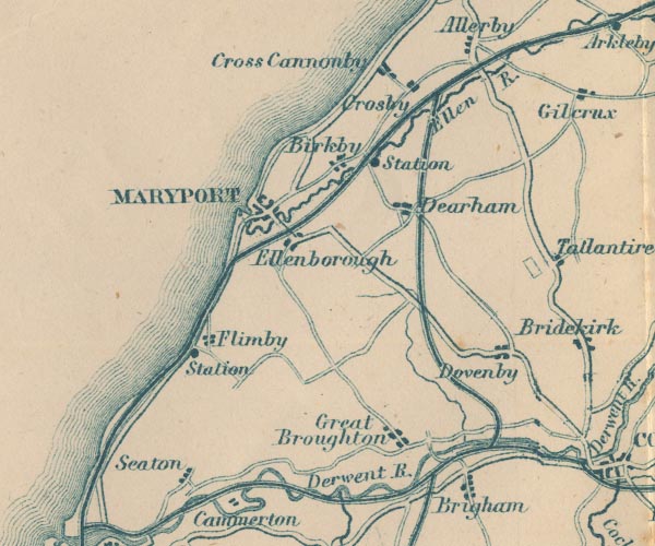
evidence:-   old map:- Garnett 1850s-60s H
placename:-  Ellen, River
source data:-   Map of the English Lakes, in Cumberland, Westmorland and Lancashire, scale about 3.5 miles to 1 inch, published by John Garnett, Windermere, Westmorland, 1850s-60s.
image
GAR2NY03.jpg
"Ellen R."
 
item:-  JandMN : 82.1
Image © see bottom of page

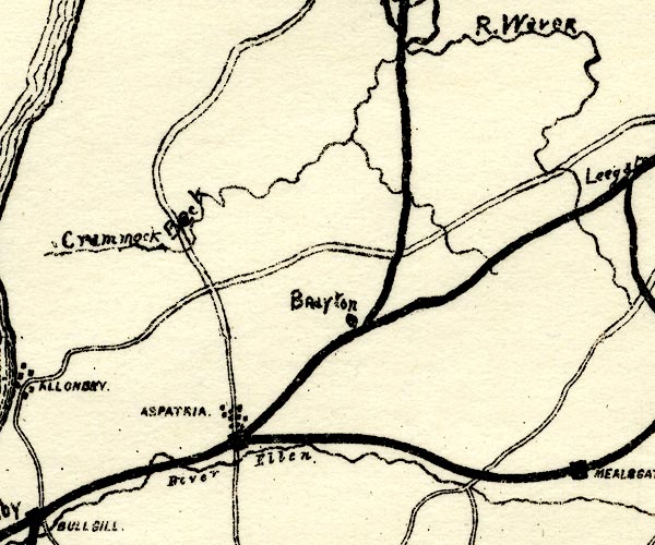
evidence:-   old map:- Postlethwaite 1877 (3rd edn 1913) 
placename:-  Ellen, River
source data:-   Map, uncoloured engraving, Map of the Lake District Mining Field, Westmorland, Cumberland, Lancashire, scale about 5 miles to 1 inch, by John Postlethwaite, published by W H Moss and Sons, 13 Lowther Street, Whitehaven, Cumberland, 1877 edn 1913.
image
PST2NY14.jpg
"River Ellen"
wiggly line 
item:-  JandMN : 162.2
Image © see bottom of page
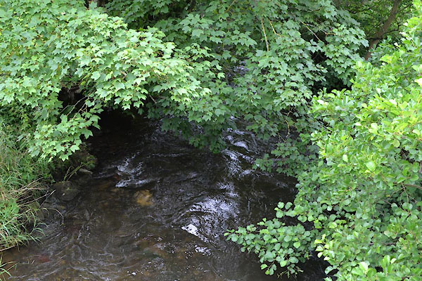

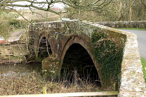
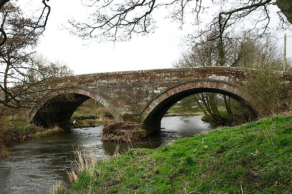
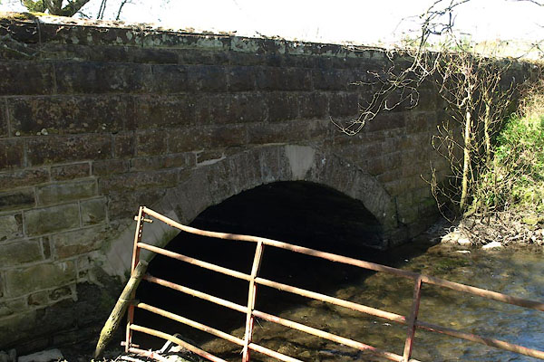
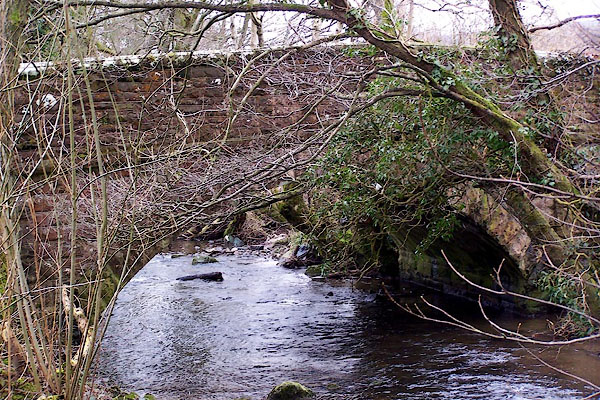
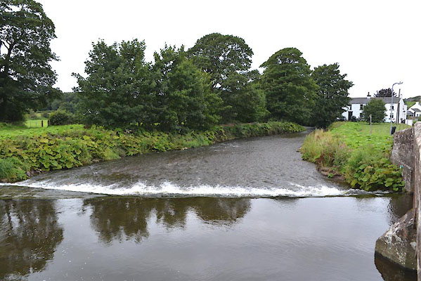
photograph
CGI49.jpg  At Boltongate Bridge.
(taken 4.8.2017)  
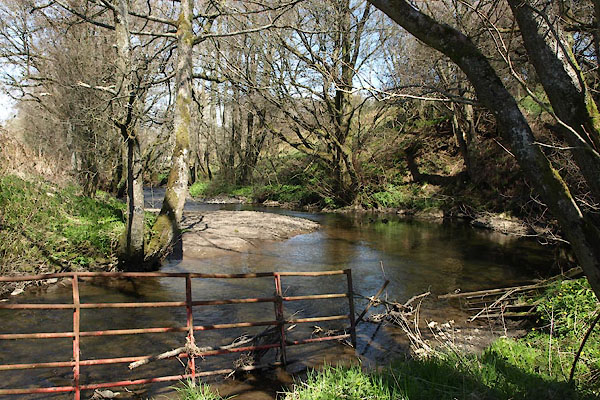
photograph
CGI15.jpg  At Blennerhasset Bridge.
(taken 4.8.2017)  
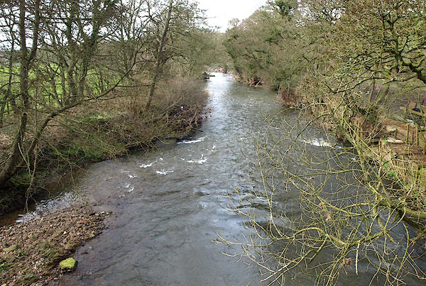
photograph
BYH30.jpg  At Ireby High Bridge.
(taken 2.5.2013)  
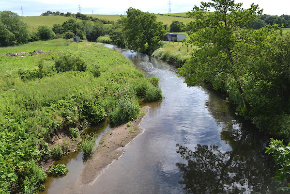
photograph
BOU28.jpg  At Dearham Bridge.
(taken 14.3.2008)  
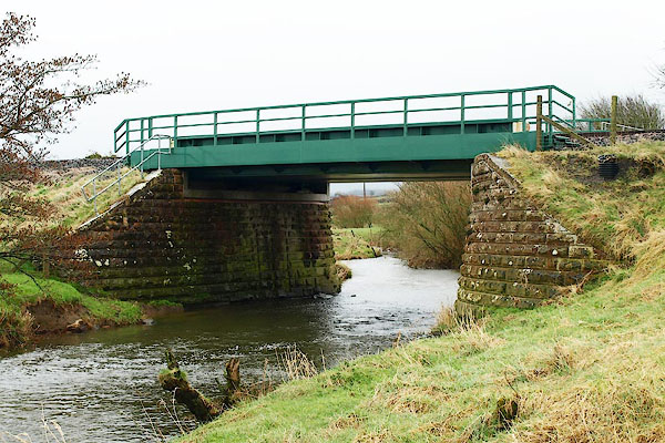
photograph
CGF94.jpg  At Bullgill Bridge.
(taken 23.6.2017)  
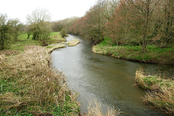
photograph
BQH95.jpg  At Ellenhall Bridge.
(taken 27.3.2009)  
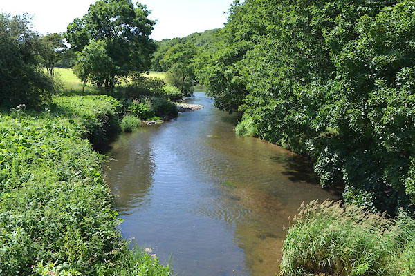
photograph
CGG01.jpg  At Ellenhall Bridge.
(taken 23.6.2017)  
photograph
CGG02.jpg  At Ellenhall Bridge.
(taken 23.6.2017)  
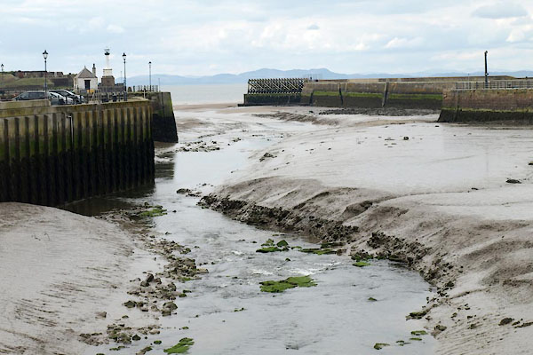
photograph
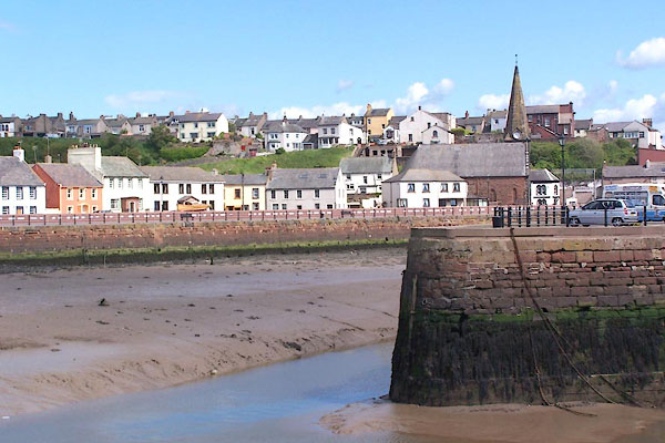
BWI91.jpg  Old Harbour, Maryport,
(taken 4.5.2012)  
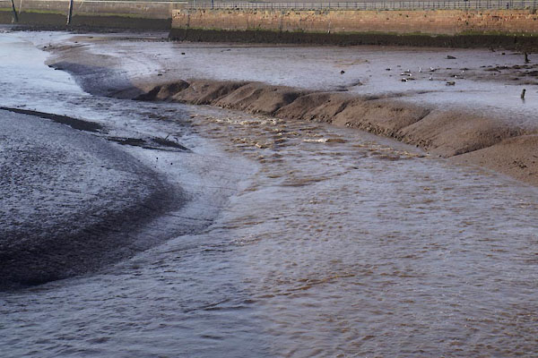
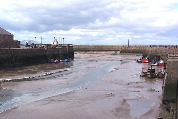
photograph
CFN98.jpg  Old Harbour, Maryport, low water springs.
(taken 30.9.2016)  

places:-  
NY09653864 Allerby Mill (Oughterside and Allerby / Crosscanonby)
NY14274044 Arkleby Bridge (Aspatria / Plumbland)
NY14384041 Arkleby Mill (Plumbland)
NY15724139 Aspatria East Mill (Aspatria)
NY05253694 Birkby Mill (Crosscanonby)
NY17854160 Blennerhasset Bridge (Blennerhasset and Torpenhow)
NY18434189 Blennerhasset Mill (Blennerhasset and Torpenhow)
NY22934049 Boltongate Bridge (Boltons / Ireby)
NY15744127 bridge, Aspatria (Aspatria / )
NY12964023 bridge, Oughterside and Allonby (Oughterside and Allerby)
NY09603849 Bullgill Bridge (Crosscanonby)
NY26023580 Chapelhouse Reservoir (Ireby)
NY19874106 Cock Bridge (Blennerhasset and Torpenhow)
NY06913718 Dearham Bridge (Dearham / Crosscanonby)
NY06633713 Dearham Mill (Dearham)
NY03963646 Ellen Bridge (Maryport)
NY11643908 Ellenhall Bridge (Gilcrux / Oughterside and Allerby) L
NY03593629 Furnace Mill (Maryport) gone
NY15544109 Grave's Pool (Pplumbland / Aspatria)
NY19384142 Harby Brow Mill (Allhallows)
NY23943849 Ireby High Bridge (Ireby)
NY24083921 Ireby Low Bridge (Ireby / Boltons)
NY23903862 Ireby Mill (Ireby)
NY20284061 Low Mill (Blennerhasset and Torpenhow)
NY03173676 Maryport Harbour (Maryport)
NY14294040 Mill Bridge (Plumbland)
NY197411 mill, Aldersceugh (Blennerhasset and Torpenhow)
NY03293625 mill, Maryport (Maryport) suggested
NY04023663 mill, Maryport (2) (Maryport) suggested
NY03303670 Old Harbour (Maryport)
NY11113901 Oughterside Mill (Oughterside and Allerby)
NY09733860 railway bridge, Bullgill (2) (Oughterside and Allerby)
NY13154025 railway bridge, Ellen Villa (2) (Plumbland / Aspatria)
NY08323780 Rose Gill Mill (Crosscanonby)
NY03343641 ship yard, Maryport (2) (Maryport) gone
NY03273642 ship yard, Maryport (3) (Maryport) gone
NY03253620 ship yard, Maryport (4) (Maryport) gone
NY25243650 Stanthwaite Bridge (Ireby)
NY24623676 Uldale Bridge (Ireby)
NY23983788 Uldale Mill (Ireby)
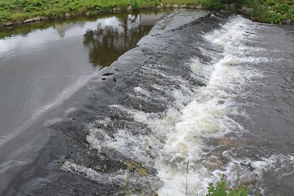
NY17834159 weir, Blennerhasset (Blennerhasset and Torpenhow)
NY03643620 bridge, Maryport (Maryport)
NY03783625 bridge, Maryport (2) (Maryport)
button to lakes menu  Lakes Guides menu.