button to main menu  Old Cumbria Gazetteer
Ellenhall Bridge, Gilcrux
Ellenhall Bridge
site name:-   Ellen, River
locality:-   Ellenhall
civil parish:-   Gilcrux (formerly Cumberland)
civil parish:-   Oughterside and Allerby (formerly Cumberland)
county:-   Cumbria
locality type:-   bridge
coordinates:-   NY11643908
1Km square:-   NY1139
10Km square:-   NY13


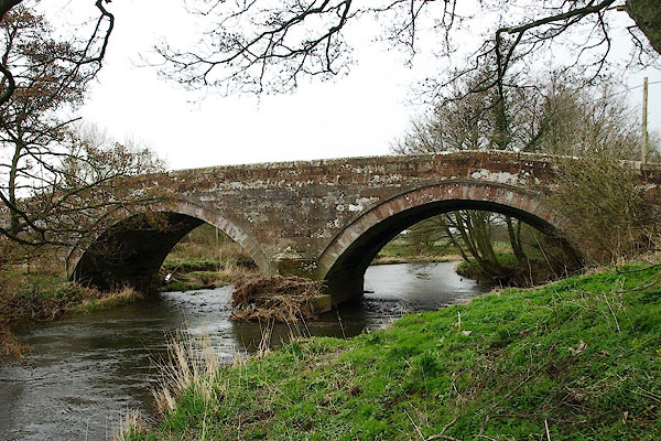
photograph
BQH93.jpg (taken 27.3.2009)  
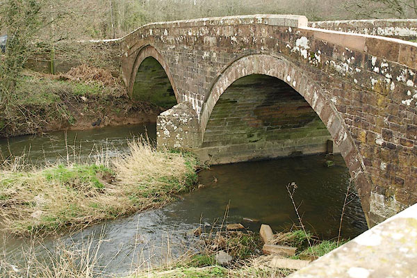
photograph
BQH94.jpg (taken 27.3.2009)  

evidence:-   old map:- OS County Series (Cmd 35 16) 
placename:-  Ellenhall Bridge
source data:-   Maps, County Series maps of Great Britain, scales 6 and 25 inches to 1 mile, published by the Ordnance Survey, Southampton, Hampshire, from about 1863 to 1948.

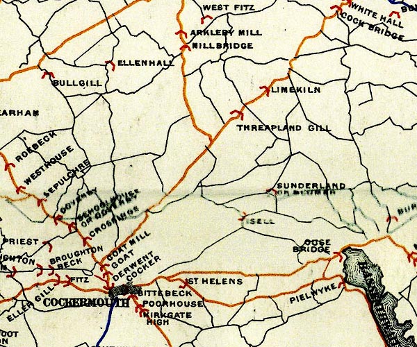
evidence:-   old map:- Bell 1892
placename:-  Ellen Hall Bridge
source data:-   Map, colour lithograph, Road Map of Cumberland, by George Joseph Bell, scale about 2.5 miles to 1 inch, printed by Charles Thurnam and Sons, Carlisle, Cumberland, 1892.
image
BEL9NY13.jpg
"ELLEN HALL"
bridge symbol 
 
Road map of Cumberland showing County Bridges 
item:-  Carlisle Library : Map 38
Image © Carlisle Library

evidence:-   database:- Listed Buildings 2010
placename:-  Ellenhall Bridge
source data:-  
courtesy of English Heritage
"ELLENHALL BRIDGE / / / HOLME ST CUTHBERT / ALLERDALE / CUMBRIA / II / 411786 / NY1164839078"
source data:-  
courtesy of English Heritage
"Road bridge. Early C19. Red sandstone. 2 segmental arches on central pier with splayed cutwaters, under low parapet with saddleback coping. This bridge lies partly in Plumbland C.P."
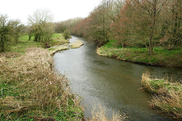

photograph
BQH95.jpg  View of river.
(taken 27.3.2009)  
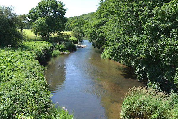
photograph
CGG01.jpg  View of river.
(taken 23.6.2017)  
photograph
CGG02.jpg  View of river.
(taken 23.6.2017)  
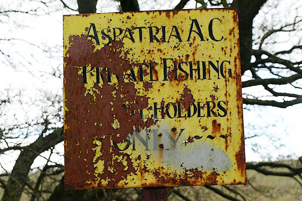

photograph
BQH96.jpg  View of river.
Sign near Ellenhall Bridge:-
(taken 27.3.2009)  

button to lakes menu  Lakes Guides menu.