 Old Cumbria Gazetteer
 |
 |
|
| Bullgill Bridge, Bullgill | ||
| Bullgill Bridge | ||
| site name:- | Ellen, River | |
| locality:- | Bullgill | |
| civil parish:- | Crosscanonby (formerly Cumberland) | |
| county:- | Cumbria | |
| locality type:- | bridge | |
| coordinates:- | NY09603849 | |
| 1Km square:- | NY0938 | |
| 10Km square:- | NY03 | |
|
|
||
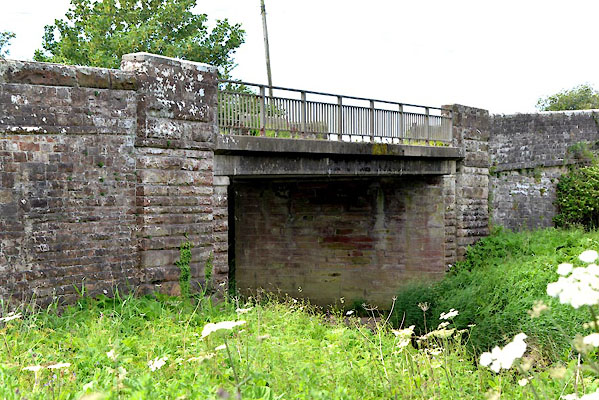 CGF93.jpg (taken 23.6.2017) 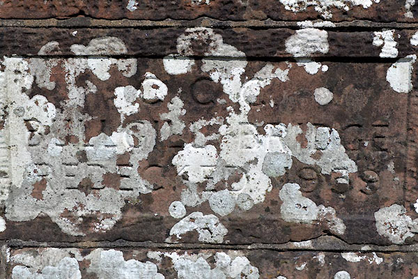 CGF95.jpg Plaque:- "C.C.C. / BULLGILL BRIDGE / REDECKED 1959" (taken 23.6.2017) |
||
|
|
||
| evidence:- | old map:- OS County Series (Cmd 35 15) placename:- Bullgill Bridge |
|
| source data:- | Maps, County Series maps of Great Britain, scales 6 and 25
inches to 1 mile, published by the Ordnance Survey, Southampton,
Hampshire, from about 1863 to 1948. |
|
|
|
||
| evidence:- | old map:- Donald 1774 (Cmd) |
|
| source data:- | Map, hand coloured engraving, 3x2 sheets, The County of Cumberland, scale about 1
inch to 1 mile, by Thomas Donald, engraved and published by Joseph Hodskinson, 29
Arundel Street, Strand, London, 1774.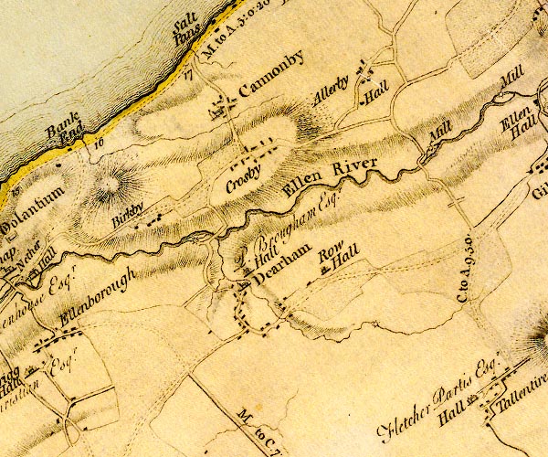 D4NY03NE.jpg double line across a river; a bridge item:- Carlisle Library : Map 2 Image © Carlisle Library |
|
|
|
||
| evidence:- | old map:- Bell 1892 placename:- Bull Gill Bridge |
|
| source data:- | Map, colour lithograph, Road Map of Cumberland, by George Joseph
Bell, scale about 2.5 miles to 1 inch, printed by Charles
Thurnam and Sons, Carlisle, Cumberland, 1892.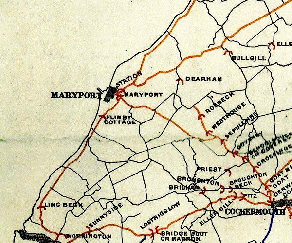 BEL9NY03.jpg "BULL GILL" bridge symbol Road map of Cumberland showing County Bridges item:- Carlisle Library : Map 38 Image © Carlisle Library |
|
|
|
||
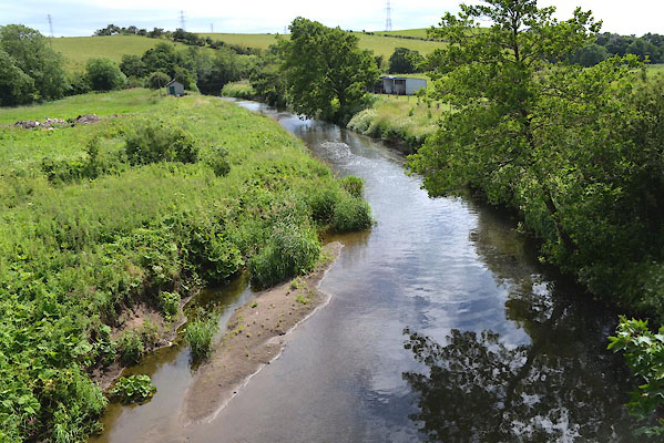 CGF94.jpg View of river. (taken 23.6.2017) |
||
|
|
||
 Lakes Guides menu.