


 road, Penrith to Barnard Castle
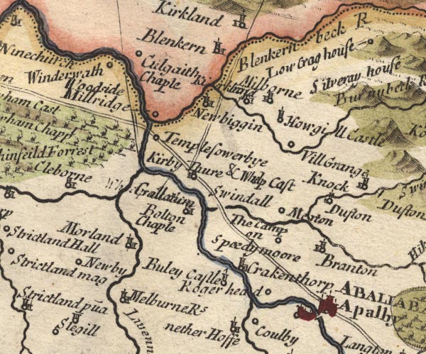
MD10NY62.jpg
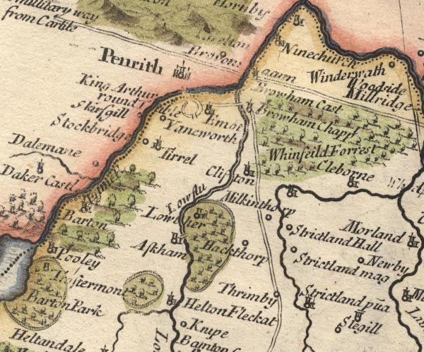
MD10NY52.jpg
Double line.
item:- JandMN : 24
Image © see bottom of page
placename:-
"... the great road leads to the left-hand to Perith, in going to which we first pass the Eden, at a very good stone bridge call'd Louther Bridge, and then the Elnot over another."
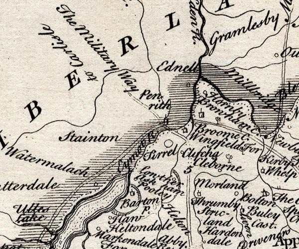
SMP2NYL.jpg
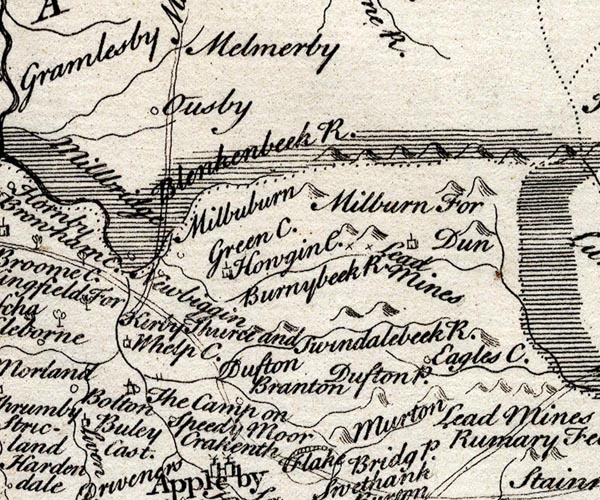
SMP2NYR.jpg
Double line.
item:- Dove Cottage : 2007.38.59
Image © see bottom of page
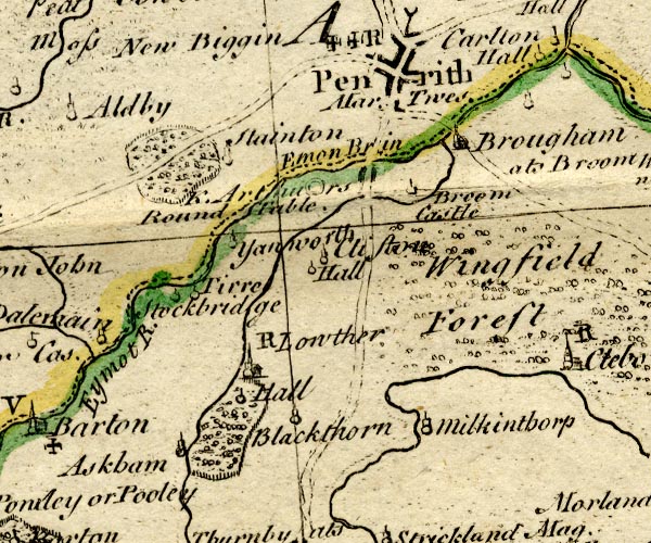
BO18NY42.jpg
double line, dotted
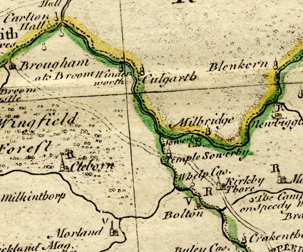
BO18NY52.jpg
double line, dotted and solid
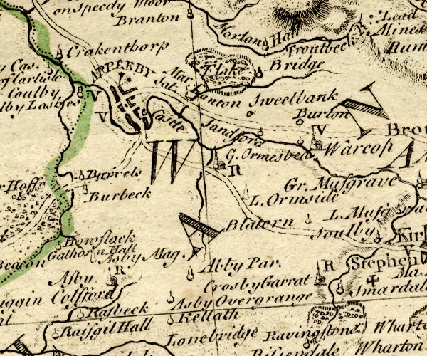
BO18NY61.jpg
double line, solid
item:- Armitt Library : 2008.14.10
Image © see bottom of page
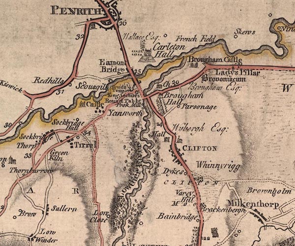
J5NY52NW.jpg
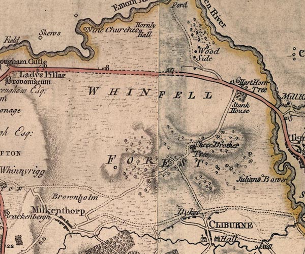
J5NY52NE.jpg
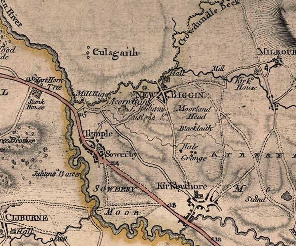
J5NY62NW.jpg
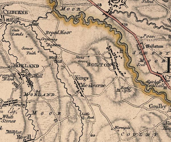
J5NY62SW.jpg
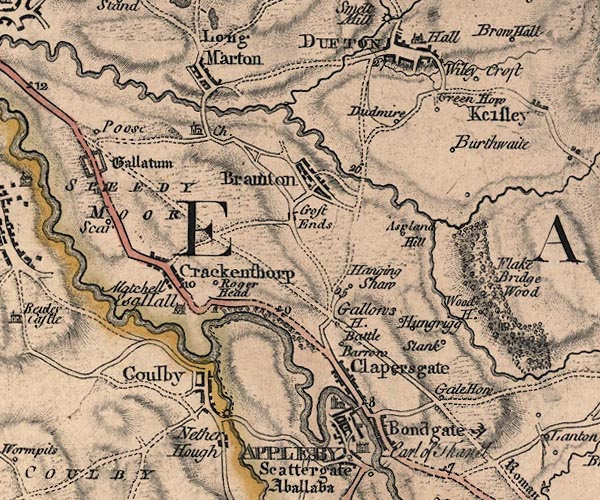
J5NY62SE.jpg
double line; road, bold, main road, with mile numbers
item:- National Library of Scotland : EME.s.47
Images © National Library of Scotland
double line, solid or dotted, with a dot or milestone and number at 1 mile intervals, tinted red; turnpike road
into Westmorland
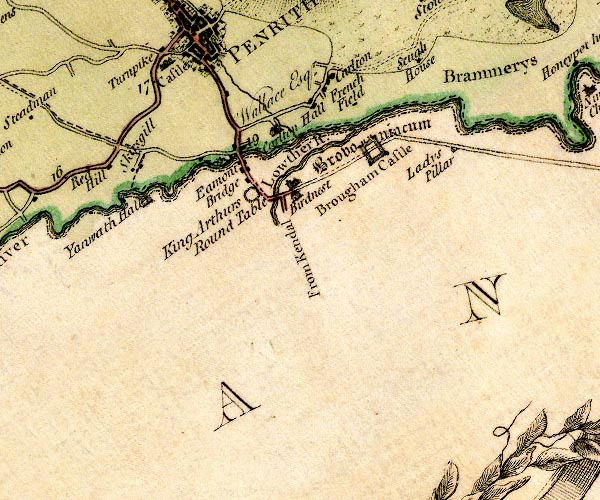
D4NY52NW.jpg
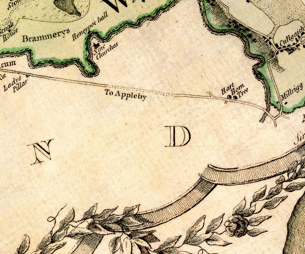
D4NY52NE.jpg
"To Appleby"
item:- Carlisle Library : Map 2
Images © Carlisle Library
 goto source
Addendum; Mr Gray's Journal, 1769
Page 200:- "... as far as Appleby. On the ascent of the hill above Appleby, the thick hanging woods, and the long reaches of the Eden, clear, rapid and full as ever, winding below, with views of the castle and town, gave much employment to the mirror [1]; but now the sun was wanting, and the sky overcast. Oats and barley cut everywhere, but not carried in. Passed Kirkby-thore, Sir William Dalston's house at Acorn-bank, Whinfield-park, Harthorn-oaks, Countess-pillar, Brougham-castle, Mr. Brougham's large new house; crossed the Eden and the Eamont with its green vale, and dined at three o'clock with Mrs. Buchanan, at Penrith, on trout and partridge. ..."
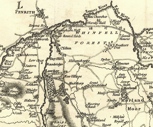
CY24NY52.jpg
double line, bold light, numbered miles; main road, via Brougham
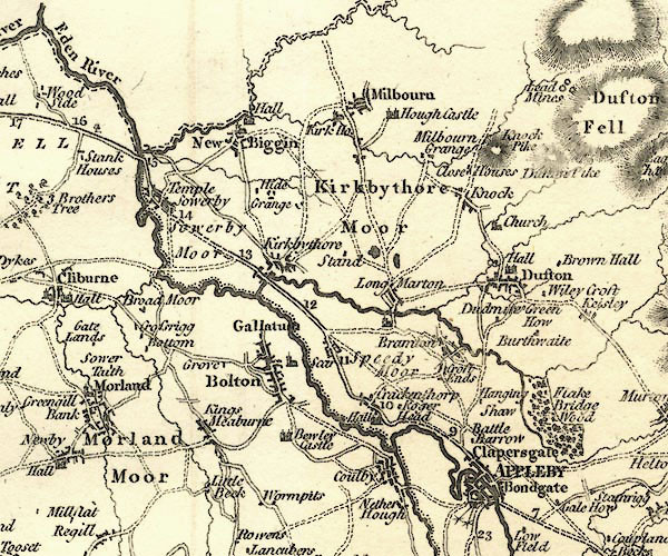
CY24NY62.jpg
double line, bold light, numbered miles; main road
item:- JandMN : 129
Image © see bottom of page
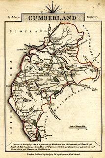 click to enlarge
CY47.jpg
"to Ap[pleby &Brough / the London Road"
double line
item:- JandMN : 419
Image © see bottom of page
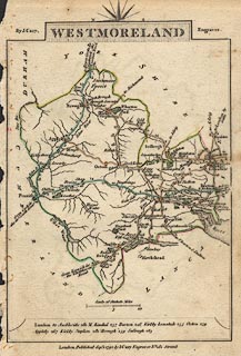 click to enlarge
CY16.jpg
double line, with road distances from Brough
item:- JandMN : 44
Image © see bottom of page
 goto source
 click to enlarge
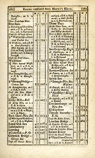
C38267.jpg
page 267-268 "At Lowther Bridge, on r. a T.R. to Appleby."
 goto source
 click to enlarge
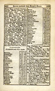
C38281.jpg
page 281-282 "LONDON to Glasgow"
part of
 goto source
 click to enlarge
C38285.jpg
page 285-286 "GLASGOW to G.P.O. London."
part of reverse route
item:- JandMN : 228.1
Image © see bottom of page
 click to enlarge
GRA1Wd.jpg
double line, feathered edges; post road?
item:- Hampshire Museums : FA2000.62.4
Image © see bottom of page
 click to enlarge
GRA1Cd.jpg
"to Appleby &Brough the London Road"
item:- Hampshire Museums : FA2000.62.2
Image © see bottom of page
 click to enlarge
Lw21.jpg
double line, light bold; 'Mail-Coach Roads (Direct)'
item:- private collection : 18.21
Image © see bottom of page
 click to enlarge
COP4.jpg
double line; road
item:- Dove Cottage : 2007.38.53
Image © see bottom of page
 click to enlarge
WAL5.jpg
double line, hatched; 'Mail Coach Road'
item:- JandMN : 63
Image © see bottom of page
 click to enlarge
HA18.jpg
double line, solid; main road; Appleby, Crackenthorp, Temple Sowerby, ...
item:- Armitt Library : 2008.14.58
Image © see bottom of page
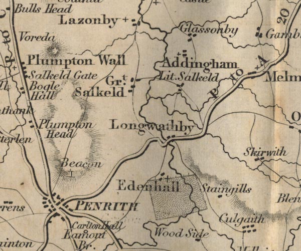
FD02NY53.jpg
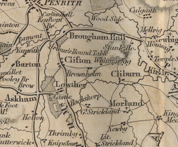
FD02NY52.jpg
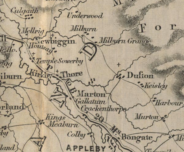
FD02NY62.jpg
"P to B 20 Ms."
Distance to Brough.
item:- JandMN : 100.1
Image © see bottom of page
 click to enlarge
IG5181.jpg
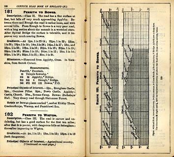
Itinerary, with gradient diagram, route 181, Penrith to Bowes, and route 182, Penrith to Wigton, Westmorland, Cumberland and Durham, 1898.
item:- JandMN : 763.16
Image © see bottom of page
 Act of Parliament
 Appleby
 Crackenthorpe
 Kirkby Thore
 Temple Sowerby
 Eamont Bridge
 Penrith
 |
NY67482159 milestone, Appleby-in-Westmorland (3) (Appleby-in-Westmorland) perhaps once |
 |
NY55012898 milestone, Brougham (Brougham) |
 |
NY56572890 milestone, Brougham (2) (Brougham) L |
 |
NY58212878 milestone, Brougham (3) (Brougham) |
 |
NY59792853 milestone, Brougham (4) (Brougham) |
 |
NY54822900 milestone, Brougham (5) (Brougham) perhaps once |
 |
NY53162848 milestone, Brougham (6) (Brougham) perhaps once |
 |
NY59452863 milestone, Brougham (7) (Brougham) perhaps once |
 |
NY57852881 milestone, Brougham (8) (Brougham) perhaps once |
 |
NY56372889 milestone, Brougham (9) (Brougham) perhaps once |
 |
NY64632441 milestone, Crackenthorpe (Crackenthorpe) not found |
 |
NY65372302 milestone, Crackenthorpe (2) (Crackenthorpe) not found |
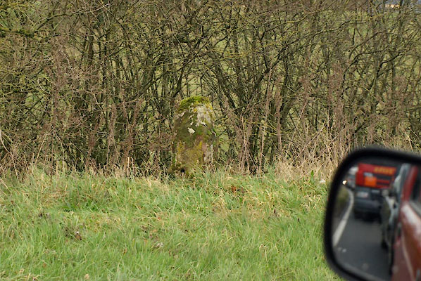 |
NY66442189 milestone, Crackenthorpe (3) (Crackenthorpe) L |
 |
NY67852135 milestone, Crackenthorpe (4) (Crackenthorpe) |
 |
NY64262478 milestone, Crackenthorpe (5) (Crackenthorpe) perhaps once |
 |
NY65322327 milestone, Crackenthorpe (6) (Crackenthorpe) perhaps once |
 |
NY66232202 milestone, Crackenthorpe (7) (Crackenthorpe) perhaps once |
 |
NY63382546 milestone, Kirkby Thore (Kirkby Thore) not found |
 |
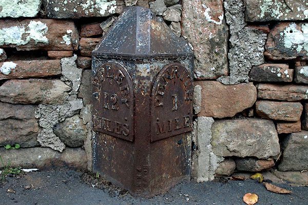
NY62942577 milestone, Kirkby Thore (2) (Kirkby Thore) perhaps once |
 |
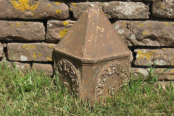
NY53142958 milestone, Penrith (6) (Penrith) |
 |
NY60882744 milestone, Temple Sowerby (Temple Sowerby) |
 |
NY62042639 milestone, Temple Sowerby (2) (Temple Sowerby) not found |
 |
NY61632664 milestone, Temple Sowerby (3) (Temple Sowerby) perhaps once |
 |
NY60702782 milestone, Temple Sowerby (4) (Temple Sowerby) perhaps once |
 |
NY52232873 milestone, Yanwath etc (Yanwath and Eamont Bridge) |
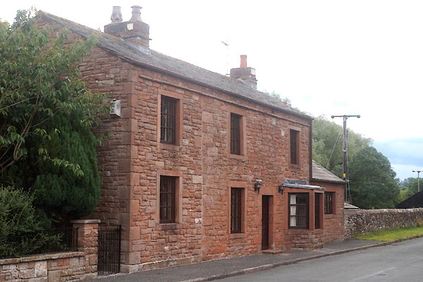 |
NY53732919 Brougham Castle Turnpike (Penrith) |
 |
NY65362312 Bolton Lane End Turnpike (Crackenthorpe) gone |
