


placename:- Eamontbridge
OS County Series (Cmd 59 5)
placename:- Bridge, The
"The bridge"
in "Yainwath and Bridge"
placename:- Emond Bridge
"Emond Bridge"
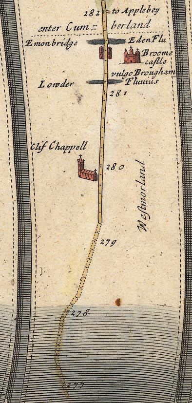
placename:- Emonbridge
OG38m277.jpg
In mile 281, Westmorland. "Emonbridge"
Houses drawn each side of the road.
item:- JandMN : 21
Image © see bottom of page
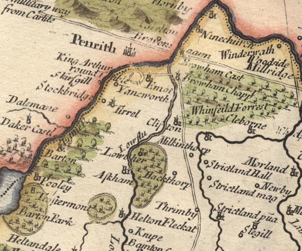
placename:- Emot
MD10NY52.jpg
"Emot"
Circle, building and tower.
item:- JandMN : 24
Image © see bottom of page
placename:- Louther Bridge
"... the great road leads to the left-hand to Perith, in going to which we first pass the Eden, at a very good stone bridge call'd Louther Bridge, and then the Elnot over another."
item:- rebellion, 1745; 1745 Rebellion; inn, Eamont Bridge
 goto source
Gentleman's Magazine 1746 p.62 "..."
"Dec. 14 [1745]. The D. of Perth with about 110 men, the vanguard of the rebels, ... about noon they proceeded on their march as far as Eamont Bridge, intending for Penrith that night, but perceiving that beacon on fire, they enquir'd at a public house the reason; the landlady told them it was to raise the country, and added, 'Gentlemen, I desire you for God's sake to go back, because all the hedges from here to Penrith are lin'd.' They follow'd her advice, and returned to Shap. ..."
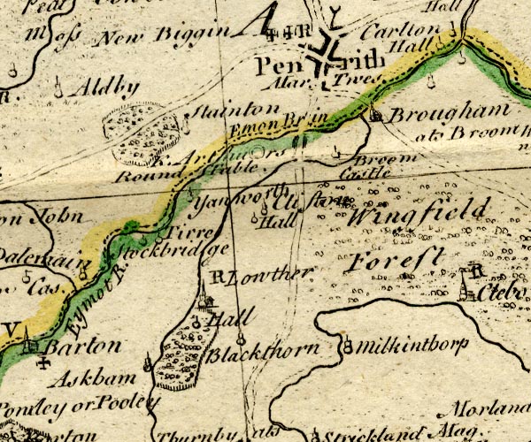
placename:- Emon Bridge
BO18NY42.jpg
blocks, on road
item:- Armitt Library : 2008.14.10
Image © see bottom of page
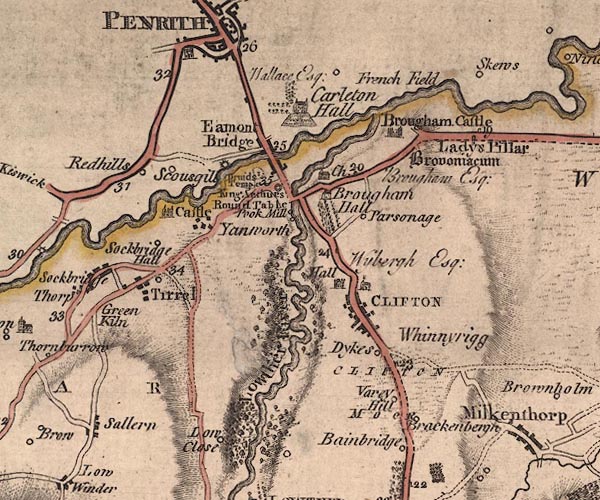
placename:- Eamont Bridge
J5NY52NW.jpg
"Eamont Bridge"
blocks, labelled in upright lowercase text; settlement; town?
item:- National Library of Scotland : EME.s.47
Image © National Library of Scotland
placename:- Eamont Bridge
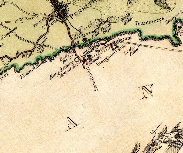
D4NY52NW.jpg
"Eamont Bridge"
block or blocks, labelled in lowercase; a hamlet or just a house
item:- Carlisle Library : Map 2
Image © Carlisle Library
placename:- Emont Bridge
item:- dyes
 goto source
Page 11:- "..."
"We now enter the small but neat village of Emont Bridge, consisting only of a few cottages; yet so excellently is this spot situated for trade, that besides a very considerable bleaching-ground, several fulling mills, &c. here is a silk and woolen Dyer, of sufficient abilities to produce all those beautiful tints which are employed in the Earl of Lonsdale's splendid Carpet-Manufactory, whose excellence is universally known."
placename:- Emont Bridge
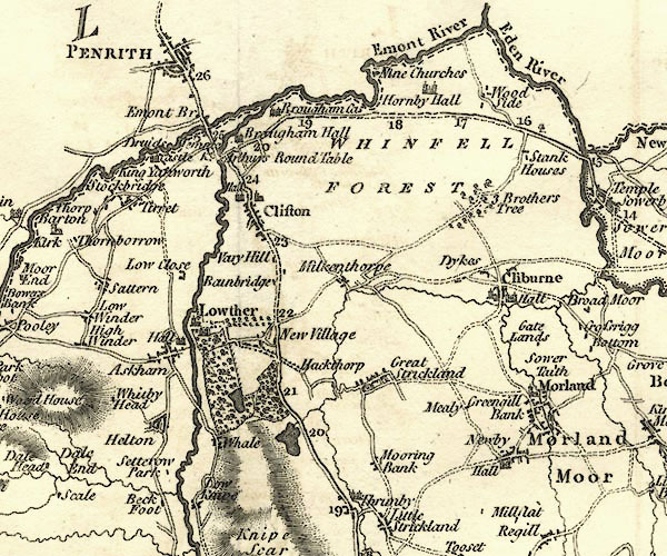
CY24NY52.jpg
"Emont Br"
block/s, labelled in italic lowercase; house, or hamlet; also in Cumberland
item:- JandMN : 129
Image © see bottom of page
placename:- Emont Bridge
 goto source
 click to enlarge
C38267.jpg
page 267-268 "Emont Bridge"
 goto source
 click to enlarge
C38281.jpg
page 281-282 "Emont Bridge"
item:- JandMN : 228.1
Image © see bottom of page
placename:- Eamont Bridge
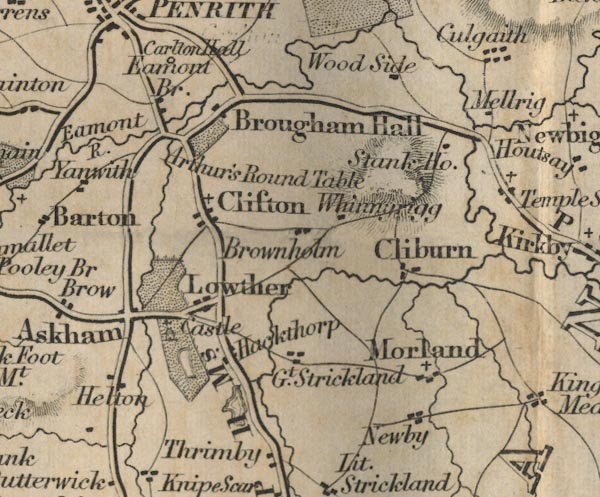
FD02NY52.jpg
"Eamont Br."
item:- JandMN : 100.1
Image © see bottom of page
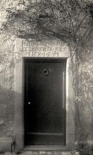
item:- date stone (1671)
 click to enlarge
HB0064.jpg
Vol.1 no.64 in an album, Examples of Early Domestic and Military Architecture in Westmorland, assembled 1910.
ms at bottom:- "64. House at Eamont Bridge. Barton. W."
item:- Armitt Library : 1958.3165.64
Image © see bottom of page
EJB3Vg20.jpg
item:- private collection : 17
Image © see bottom of page
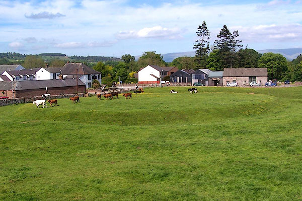 |
NY52332838 Arthur's Round Table (Yanwath and Eamont Bridge) |
 |
NY52272864 Bee Boles Cottage (Yanwath and Eamont Bridge) |
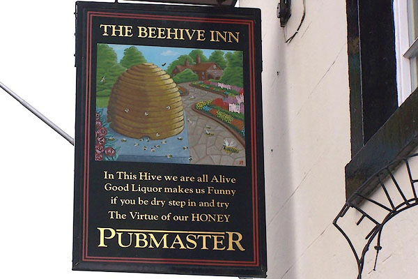 |
NY52362847 Beehive Inn (Yanwath and Eamont Bridge) |
 |
NY52402822 Bridge Cottage (Yanwath and Eamont Bridge) gone |
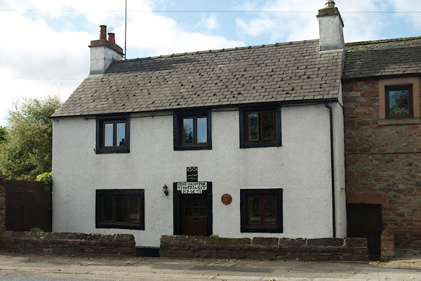 |
NY52212870 Bridge End (Yanwath and Eamont Bridge) L |
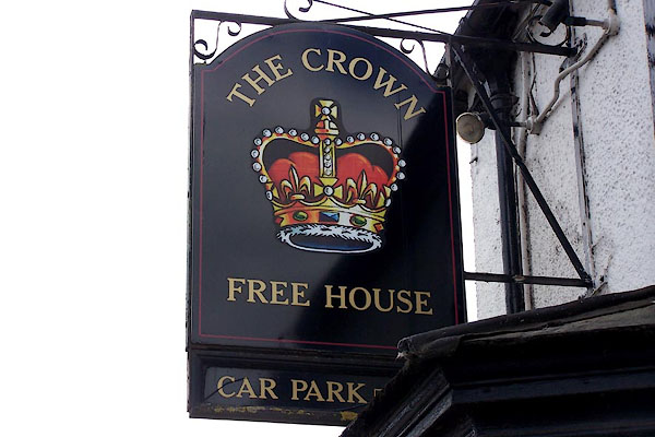 |
NY52342843 Crown, The (Yanwath and Eamont Bridge) L |
 |
NY52112875 drain, Eamont Bridge (Penrith) |
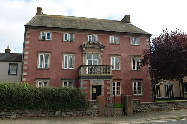 |
NY52302859 Eamont Bridge House (Yanwath and Eamont Bridge) L |
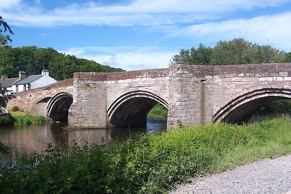 |
NY52222874 Eamont Bridge (Yanwath and Eamont Bridge / Penrith) L |
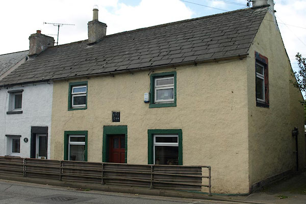 |
NY52232867 house, Eamont Bridge (3) (Yanwath and Eamont Bridge) |
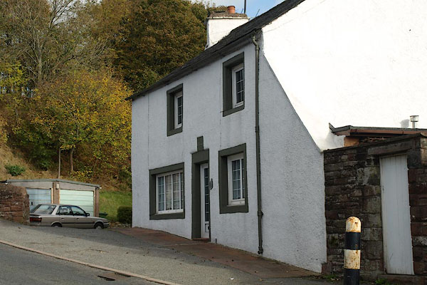 |
NY52202881 house, Eamont Bridge (4) (Penrith) |
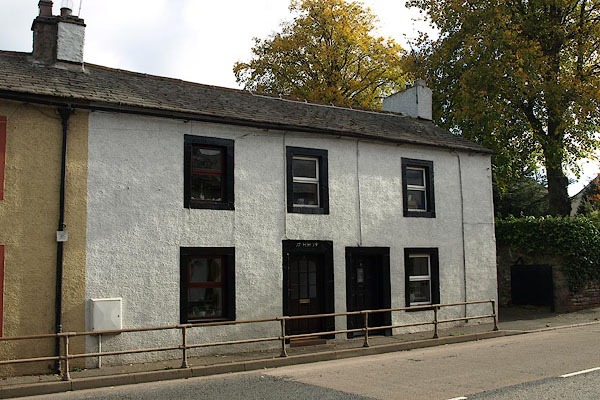 |
NY52242864 house, Eamont Bridge (5) (Yanwath and Eamont Bridge) |
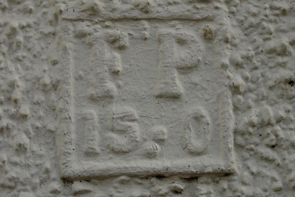 |
NY52212878 hydrant plate, Eamont Bridge (Penrith) |
 |
NY52202897 Kemplay Bank (Penrith) |
 |
NY52202879 Kemplay Foot (Penrith) |
 |
NY52232873 milestone, Yanwath etc (Yanwath and Eamont Bridge) |
 |
NY52022872 mill, Eamont Bridge (Penrith) |
 |
NY52372827 Roundtable Cottage (Yanwath and Eamont Bridge) gone |
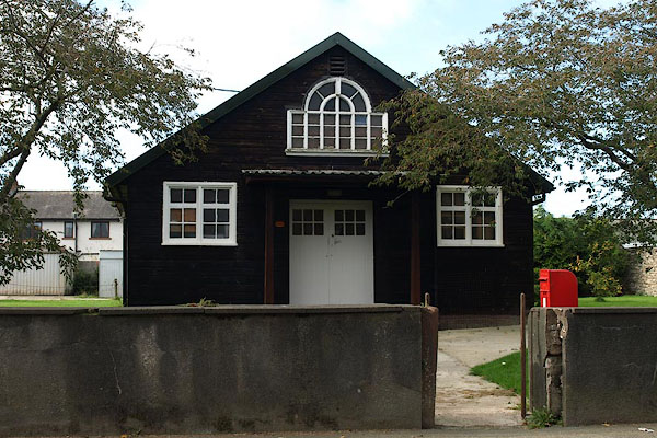 |
NY52262858 village hall, Eamont Bridge (Yanwath and Eamont Bridge) |
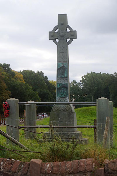 |
NY52362840 war memorial, Eamont Bridge (Yanwath and Eamont Bridge) |
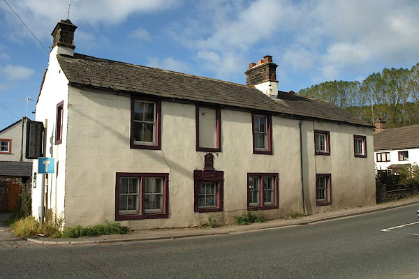 |
NY52192879 Welcome Inn (Penrith) L |
