 Old Cumbria Gazetteer
 |
 |
|
| Bolton Lane End Turnpike, Crackenthorpe | ||
| gone | ||
| Bolton Lane End Turnpike | ||
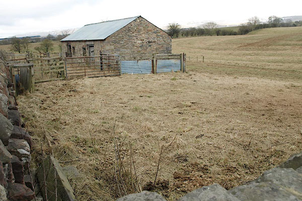
| Crackenthorpe Turnpike | ||
| site name:- | road, Appleby to Penrith | |
| civil parish:- | Crackenthorpe (formerly Westmorland) | |
| county:- | Cumbria | |
| locality type:- | toll gate (site) | |
| coordinates:- | NY65362312 | |
| 1Km square:- | NY6523 | |
| 10Km square:- | NY62 | |
|
|
||
 BSH13.jpg (taken 12.3.2010) |
||
|
|
||
| evidence:- | old map:- OS County Series (Wmd 9) |
|
| source data:- | Maps, County Series maps of Great Britain, scales 6 and 25
inches to 1 mile, published by the Ordnance Survey, Southampton,
Hampshire, from about 1863 to 1948. "Bolton Lane End T.P." |
|
|
|
||
| hearsay:- |
Richard Atkinson, of the Elephant Inn, also known as Brockram Dick, used to keep the
Crackenthorpe toll gate in the late 18th century. He said he once saw Peg Sleddal's
ghost, seated in an old coach pulled by six black horses with flaming eyes, come through
the turn pike, when a helm wind was blowing. |
|
|
|
||
 Lakes Guides menu.