 Old Cumbria Gazetteer
 |
 |
|
| milestone, Crackenthorpe (3) | ||
| site name:- | road, Appleby to Penrith | |
| civil parish:- | Crackenthorpe (formerly Westmorland) | |
| county:- | Cumbria | |
| locality type:- | milestone | |
| coordinates:- | NY66442189 | |
| 1Km square:- | NY6621 | |
| 10Km square:- | NY62 | |
| coordinates:- | NY66372184 (position by old road) | |
| SummaryText:- | Moved to the new road. | |
| references:- | OS County Series |
|
|
|
||
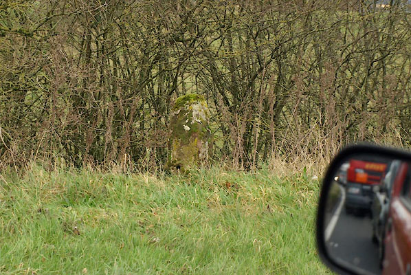 BVT21.jpg Taken from the car in a traffic jam. (taken 2.12.2011) |
||
|
|
||
| evidence:- | old map:- OS County Series (Wmd 9 14) |
|
| source data:- | Maps, County Series maps of Great Britain, scales 6 and 25
inches to 1 mile, published by the Ordnance Survey, Southampton,
Hampshire, from about 1863 to 1948. "M.S. Penrith 12. Appleby 2." |
|
|
|
||
| evidence:- | old map:- OS County Series (Wmd 9) |
|
| source data:- | Maps, County Series maps of Great Britain, scales 6 and 25
inches to 1 mile, published by the Ordnance Survey, Southampton,
Hampshire, from about 1863 to 1948. "M.S. PENRITH 11 APPLEBY 2" |
|
|
|
||
| evidence:- | database:- Listed Buildings 2010 |
|
| source data:- | courtesy of English Heritage "MILESTONE TO NORTH EAST OF CRACKENTHORPE HALL / / / CRACKENTHORPE / EDEN / CUMBRIA / II / 422781 / NY6639921900" |
|
| source data:- | courtesy of English Heritage "Brough-Eamont Bridge Turnpike Trust milestone, probably late C18/early C19. Cast-iron with angled faces and top, encasing a sandstone backing block. Painted white with lettering picked out in black: APPLEBY 2 MILES on one face and PENRITH 11 MILES on the other. Moved to present position from original location (NY 66366 21839) when route of A66 altered." |
|
|
|
||
 Lakes Guides menu.