Old Cumbria Gazetteer
 |
 |
|
||
| Esk, River (2) | ||||
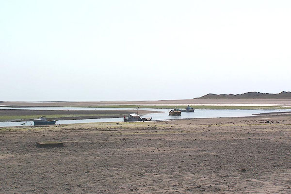
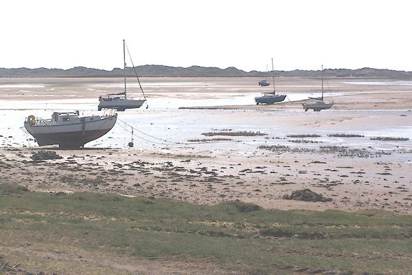
| runs into:- |  Esk Estuary (2) Esk Estuary (2) |
|||
|
|
||||
| civil parish:- | Eskdale (formerly Cumberland) | |||
| civil parish:- | Bootle (formerly Cumberland) | |||
| civil parish:- | Muncaster (formerly Cumberland) | |||
| civil parish:- | Drigg and Carleton (formerly Cumberland) | |||
| county:- | Cumbria | |||
| locality type:- | river | |||
| 1Km square:- | NY2101 (etc) | |||
| 10Km square:- | NY20 | |||
| 10Km square:- | SD09 | |||
|
|
||||
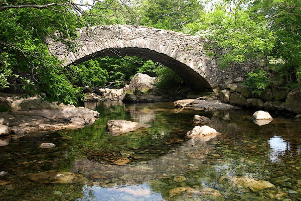
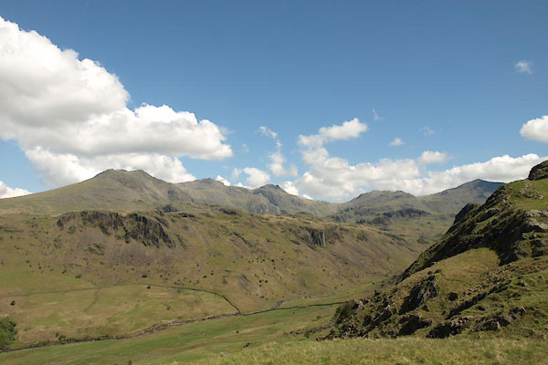
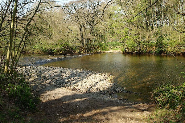
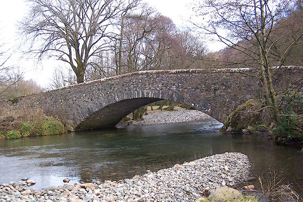
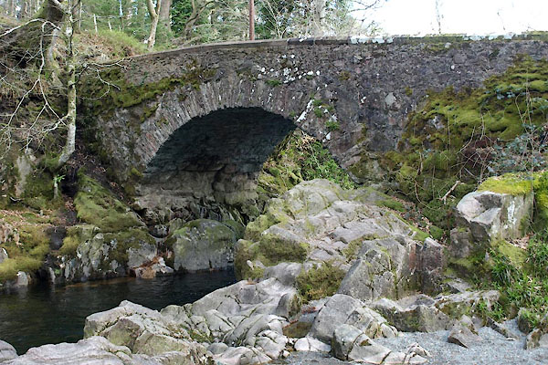
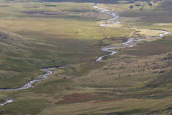 BRM62.jpg Upper part of the valley. (taken 14.9.2009) 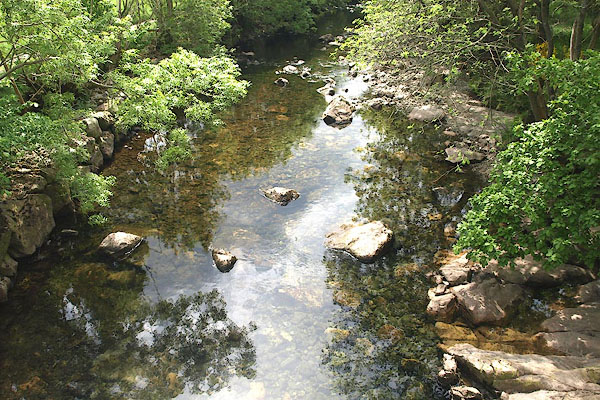 BPF19.jpg At Doctor's Bridge. (taken 20.5.2008) |
||||
|
|
||||
| evidence:- | old map:- OS County Series (Cmd 82) item:- tide |
|||
| source data:- | Maps, County Series maps of Great Britain, scales 6 and 25
inches to 1 mile, published by the Ordnance Survey, Southampton,
Hampshire, from about 1863 to 1948. "Ordinary Spring Tides flow to this [ ]" |
|||
|
|
||||
| evidence:- | old map:- Gough 1350s-60s placename:- Esk |
|||
| source data:- | Map, colour photozincograph copy, reduced size facsimile, Gough
Map of Britain, scale about 28.5 miles to 1 inch, published by
the Ordnance Survey, Southampton, Hampshire, 1875. click to enlarge click to enlargeGgh1Cm.jpg "esk" Running into the sea. item:- JandMN : 33 Image © see bottom of page |
|||
|
|
||||
| evidence:- | old map:- Gough 1350s-60s placename:- Esk |
|||
| source data:- | Map, lithograph facsimile, Gough Map of Britain, 20 miles to 1
inch? published by the Ordnance Survey, Southampton, Hampshire,
1935. click to enlarge click to enlargeGgh2Cm.jpg "esk" Running into the sea. item:- JandMN : 34 Image © see bottom of page |
|||
|
|
||||
| evidence:- | old map:- Lloyd 1573 placename:- Esk Flu. |
|||
| source data:- | Map, hand coloured copper plate engraving, Angliae Regni,
Kingdom of England, with Wales, scale about 24 miles to 1 inch, authored by Humphrey
Lloyd, Denbigh, Clwyd, drawn and engraved
by Abraham Ortelius, Netherlands, 1573. click to enlarge click to enlargeLld1Cm.jpg "Esk flu." item:- Hampshire Museums : FA1998.69 Image © see bottom of page |
|||
|
|
||||
| evidence:- | old map:- Mercator 1595 (edn?) placename:- Eske flu. |
|||
| source data:- | Map, hand coloured engraving, Northumbria, Cumberlandia, et
Dunelmensis Episcopatus, ie Northumberland, Cumberland and
Durham etc, scale about 6.5 miles to 1 inch, by Gerard Mercator,
Duisberg, Germany, about 1595. MER8CumE.jpg "Eske flu." double line with stream lines; river, running into the sea S of Ravenglass item:- JandMN : 169 Image © see bottom of page |
|||
|
|
||||
| evidence:- | old map:- Speed 1611 (Cmd) placename:- Esk Flu. |
|||
| source data:- | Map, hand coloured engraving, Cumberland and the Ancient Citie
Carlile Described, scale about 4 miles to 1 inch, by John Speed,
1610, published by J Sudbury and George Humble, Popes Head
Alley, London, 1611-12.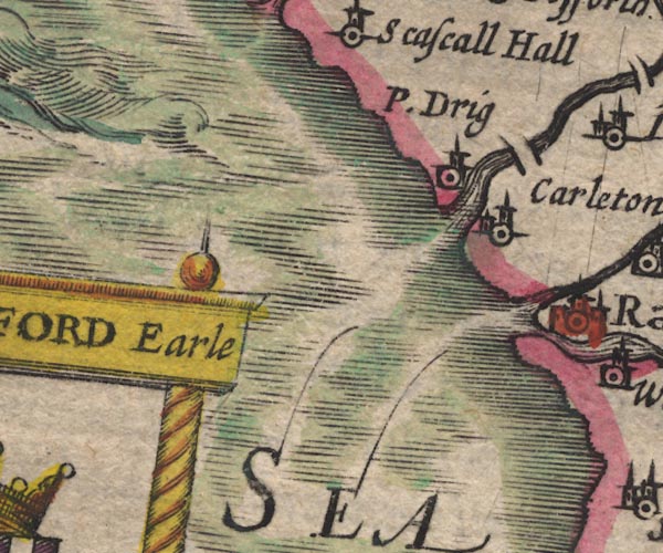 SP11SD09.jpg double line with stream lines, runs into the sea 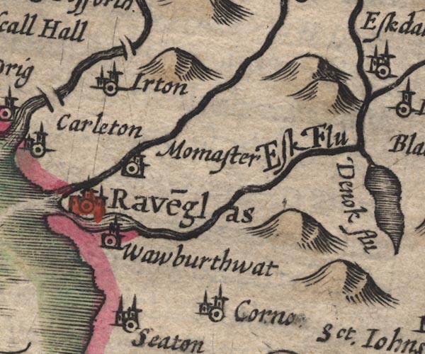 SP11SD19.jpg "Esk Flu" double line with stream lines, then a wiggly line item:- private collection : 16 Image © see bottom of page |
|||
|
|
||||
| evidence:- | poem:- Drayton 1612/1622 text placename:- Eske |
|||
| source data:- | Poem, Poly Olbion, by Michael Drayton, published by published by
John Marriott, John Grismand and Thomas Dewe, and others?
London, part 1 1612, part 2 1622. goto source page 163:- "... ... Eske her farth'st, so first, a coy bred Cumbrian Lasse, Who commeth to her Road, renowned Ravenglasse, ..." |
|||
|
|
||||
| evidence:- | old map:- Drayton 1612/1622 placename:- Eske Fl. |
|||
| source data:- | Map, hand coloured engraving, Cumberlande and Westmorlande, by
Michael Drayton, probably engraved by William Hole, scale about
4 or 5 miles to 1 inch, published by John Mariott, John
Grismand, and Thomas Dewe, London, 1622.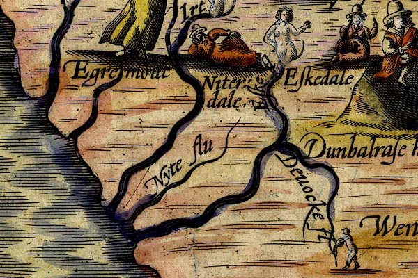 DRY521.jpg "Eske fl" River, naiad. item:- JandMN : 168 Image © see bottom of page |
|||
|
|
||||
| evidence:- | perhaps old map:- Jenner 1643 |
|||
| source data:- | Tables of distances with a maps, Westmerland, scale about 16
miles to 1 inch, and Cumberland, scale about 21 miles to 1 inch,
published by Thomas Jenner, London, 1643; published 1643-80. JEN4Sq.jpg wiggly line |
|||
|
|
||||
| evidence:- | probably old map:- Jansson 1646 placename:- Denok Flud |
|||
| source data:- | Map, hand coloured engraving, Cumbria and Westmoria, ie
Cumberland and Westmorland, scale about 3.5 miles to 1 inch, by
John Jansson, Amsterdam, Netherlands, 1646.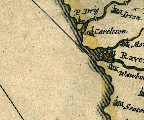 JAN3SD09.jpg 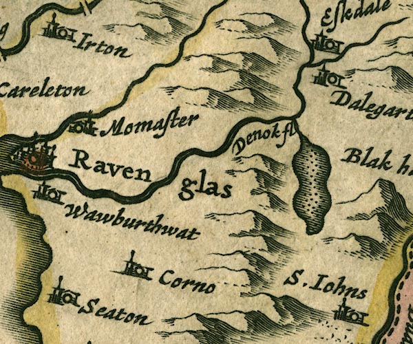 JAN3SD19.jpg "Denok fl" Double wiggly line; the label belongs to the lake? item:- JandMN : 88 Image © see bottom of page |
|||
|
|
||||
| evidence:- | old map:- Sanson 1679 placename:- Denock fl. |
|||
| source data:- | Map, hand coloured engraving, Ancien Royaume de Northumberland
aujourdhuy Provinces de Nort, ie the Ancient Kingdom of
Northumberland or the Northern Provinces, scale about 9.5 miles
to 1 inch, by Nicholas Sanson, Paris, France, 1679. click to enlarge click to enlargeSAN2Cm.jpg "Denock fl." tapering wiggly line; river item:- Dove Cottage : 2007.38.15 Image © see bottom of page |
|||
|
|
||||
| evidence:- | old map:- Seller 1694 (Cmd) |
|||
| source data:- | Map, uncoloured engraving, Cumberland, scale about 12 miles to 1
inch, by John Seller, 1694. click to enlarge click to enlargeSEL9.jpg tapering wiggly line; river item:- Dove Cottage : 2007.38.89 Image © see bottom of page |
|||
|
|
||||
| evidence:- | old map:- Morden 1695 (Cmd) placename:- Esk River |
|||
| source data:- | Map, uncoloured engraving, Cumberland, scale about 4 miles to 1
inch, by Robert Morden, 1695, published by Abel Swale, the
Unicorn, St Paul's Churchyard, Awnsham, and John Churchill, the
Black Swan, Paternoster Row, London, 1695-1715.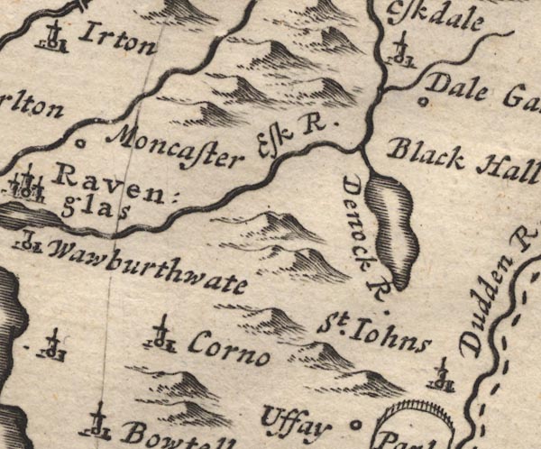 MD12SD19.jpg "Esk R." item:- JandMN : 90 Image © see bottom of page |
|||
|
|
||||
| evidence:- | old map:- Badeslade 1742 placename:- Eske River |
|||
| source data:- | Map, uncoloured engraving, A Map of Cumberland North from
London, scale about 11 miles to 1 inch, with descriptive text,
by Thomas Badeslade, London, engraved and published by William
Henry Toms, Union Court, Holborn, London, 1742. click to enlarge click to enlargeBD10.jpg "Eske R." tapering wiggly line item:- JandMN : 115 Image © see bottom of page |
|||
|
|
||||
| evidence:- | descriptive text:- Simpson 1746 placename:- Eske, River |
|||
| source data:- | Atlas, three volumes of maps and descriptive text published as
'The Agreeable Historian, or the Compleat English Traveller
...', by Samuel Simpson, 1746. goto source "..." "Ravenglass ... Here is a commodious Harbour for Ships, made by the Meeting of the River Mute with the Eske. ..." |
|||
|
|
||||
| evidence:- | old text:- Gents Mag |
|||
| source data:- | Magazine, The Gentleman's Magazine or Monthly Intelligencer or
Historical Chronicle, published by Edward Cave under the
pseudonym Sylvanus Urban, and by other publishers, London,
monthly from 1731 to 1922. goto source Gentleman's Magazine 1748 p.292 "... Of all the three streams [at Ravenglass], Esk is the farthest navigable, even a great way above Moncaster hall, Sir Joseph Pennington's seat, quite to the mountains, for vessels of tolerable burthen." |
|||
|
|
||||
| evidence:- | old map:- Bowen and Kitchin 1760 |
|||
| source data:- | Map, hand coloured engraving, A New Map of the Counties of
Cumberland and Westmoreland Divided into their Respective Wards,
scale about 4 miles to 1 inch, by Emanuel Bowen and Thomas
Kitchin et al, published by T Bowles, Robert Sayer, and John
Bowles, London, 1760. BO18SD08.jpg wiggly line and river mouth, into the sea item:- Armitt Library : 2008.14.10 Image © see bottom of page |
|||
|
|
||||
| evidence:- | old map:- Donald 1774 (Cmd) placename:- Esk River |
|||
| source data:- | Map, hand coloured engraving, 3x2 sheets, The County of Cumberland, scale about 1
inch to 1 mile, by Thomas Donald, engraved and published by Joseph Hodskinson, 29
Arundel Street, Strand, London, 1774. D4SD09NE.jpg 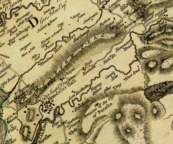 D4SD19NW.jpg "Esk River"  D4SD19NE.jpg single or double wiggly line; a river into the sea; estuary item:- Carlisle Library : Map 2 Images © Carlisle Library |
|||
|
|
||||
| evidence:- | old text:- Mackenzie 1776 placename:- Esk, River |
|||
| source data:- | Charts, and sailing directions, Nautical Descriptions of the
West Coast of Great Britain, Bristol Channel to Cape Wrath, by
Murdoch Mackenzie, published London, 1776. goto source Page 19:- "RAVINGLAS Harbour." "Ravinglas is a dry Harbour in Cumberland, where three rivulets, Esk, Mite, and Ort, unite. ..." |
|||
|
|
||||
| evidence:- | old map:- West 1784 map placename:- Esk River |
|||
| source data:- | Map, hand coloured engraving, A Map of the Lakes in Cumberland,
Westmorland and Lancashire, scale about 3.5 miles to 1 inch,
engraved by Paas, 53 Holborn, London, about 1784.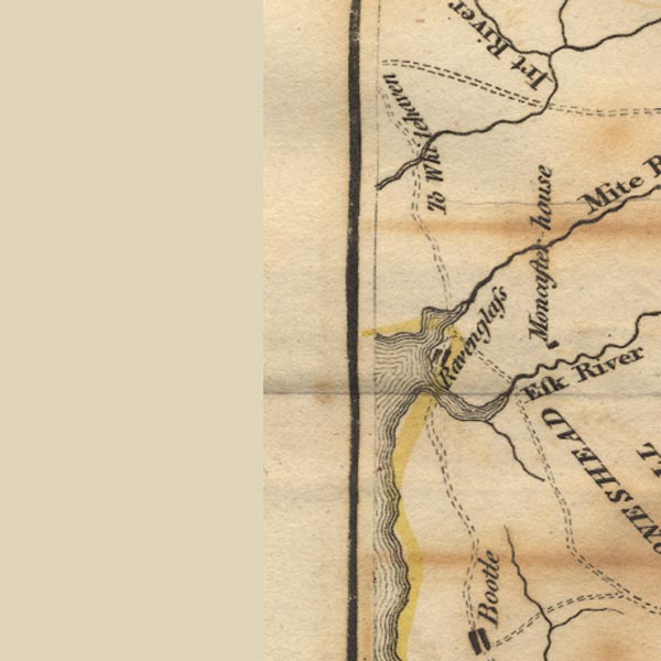 Ws02SD09.jpg 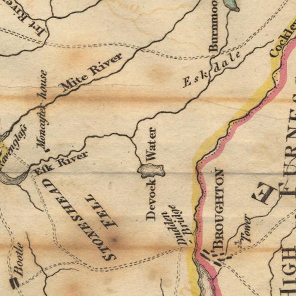 Ws02SD19.jpg item:- Armitt Library : A1221.1 Image © see bottom of page |
|||
|
|
||||
| evidence:- | old map:- Skrine 1801 placename:- Esk River |
|||
| source data:- | Map, uncoloured engraving, rivers in Cumberland, Westmorland,
Lancashire and Cheshire, scale about 23 miles to 1 inch, by
Henry Skrine, published by P Elmsly, London, 1801. click to enlarge click to enlargeM076.jpg "Esk R." river item:- JandMN : 421 Image © see bottom of page |
|||
|
|
||||
| evidence:- | old map:- Cooke 1802 placename:- Esk River |
|||
| source data:- | Map, Cumberland, scale about 15.5 miles to 1 inch, by George
Cooke, 1802, bound in Gray's New Book of Roads, 1824, published
by Sherwood, Jones and Co, Paternoster Road, London, 1824. click to enlarge click to enlargeGRA1Cd.jpg "Esk R." tapering wiggly line; river item:- Hampshire Museums : FA2000.62.2 Image © see bottom of page |
|||
|
|
||||
| evidence:- | old map:- Cooke 1802 placename:- Esk River |
|||
| source data:- | Map, The Lakes, Westmorland and Cumberland, scale about 8.5
miles to 1 inch, engravedby Neele and Son, published by
Sherwood, Jones and Co, Paternoster Road, London, 1824. click to enlarge click to enlargeGRA1Lk.jpg "Esk R." tapering wiggly line; river item:- Hampshire Museums : FA2000.62.5 Image © see bottom of page |
|||
|
|
||||
| evidence:- | old map:- Laurie and Whittle 1806 placename:- Esk River |
|||
| source data:- | Road map, Completion of the Roads to the Lakes, scale about 10
miles to 1 inch, by Nathaniel Coltman? 1806, published by Robert
H Laurie, 53 Fleet Street, London, 1834. click to enlarge click to enlargeLw18.jpg "Esk River" river item:- private collection : 18.18 Image © see bottom of page |
|||
|
|
||||
| evidence:- | old map:- Cooper 1808 |
|||
| source data:- | Map, uncoloured engraving, Cumberland, scale about 10.5 miles to
1 inch, drawn and engraved by Cooper, published by R Phillips,
Bridge Street, Blackfriars, London, 1808. click to enlarge click to enlargeCOP3.jpg tapering wiggly line; river item:- JandMN : 86 Image © see bottom of page |
|||
|
|
||||
| evidence:- | old map:- Wallis 1810 (Cmd) placename:- Esk River |
|||
| source data:- | Road map, hand coloured engraving, Cumberland, scale about 16
miles to 1 inch, by James Wallis, 77 Berwick Stree, Soho,
London, 1810. click to enlarge click to enlargeWL13.jpg "Esk R." river item:- Dove Cottage : 2009.81.10 Image © see bottom of page |
|||
|
|
||||
| evidence:- | old map:- Otley 1818 placename:- Esk River |
|||
| source data:- | Map, uncoloured engraving, The District of the Lakes,
Cumberland, Westmorland, and Lancashire, scale about 4 miles to
1 inch, by Jonathan Otley, 1818, engraved by J and G Menzies,
Edinburgh, Scotland, published by Jonathan Otley, Keswick,
Cumberland, et al, 1833. OT02SD19.jpg "Esk R." item:- JandMN : 48.1 Image © see bottom of page |
|||
|
|
||||
| evidence:- | old map:- Hall 1820 (Cmd) placename:- Elk River |
|||
| source data:- | Map, hand coloured engraving, Cumberland, scale about 21 miles
to 1 inch, engraved by Sidney Hall, published by S Leigh, 18
Strand, London, 1820-31. click to enlarge click to enlargeHA14.jpg "Elk R." tapering wiggly line; river item:- JandMN : 91 Image © see bottom of page |
|||
|
|
||||
| evidence:- | descriptive text:- Otley 1823 (5th edn 1834) item:- geology |
|||
| source data:- | Guide book, A Concise Description of the English Lakes, the
mountains in their vicinity, and the roads by which they may be
visited, with remarks on the mineralogy and geology of the
district, by Jonathan Otley, published by the author, Keswick,
Cumberland now Cumbria, by J Richardson, London, and by Arthur
Foster, Kirkby Lonsdale, Cumbria, 1823; published 1823-49,
latterly as the Descriptive Guide to the English Lakes. goto source Page 41:- "The Esk, rising on the east of Scawfell, retains its name till it enters the sea at Ravenglass; where the Irt from Wasdale, and the Mite from Miterdale, join it upon the sands. ..." goto sourcePage 108:- "The small river Esk winds along a narrow valley, among verdant fields, surmounted by rugged rocks, ... On the left hand, in travelling down the valley, there are two remarkable cascades. The first is seen from the road; but the other, which lies beyond the chapel, requires a walk of more than half a mile to view it. ..." "..." goto sourcePage 149:- "A variety of granite with reddish felspar, and which from a deficiency of mica, has sometimes been" goto sourcePage 151:- "called sienite, ... extends to some distance on both sides of the river Esk, ... It contains veins of red hematite and micaceous iron ore. ..." |
|||
|
|
||||
| evidence:- | old map:- Ford 1839 map placename:- Esk River |
|||
| source data:- | Map, uncoloured engraving, Map of the Lake District of
Cumberland, Westmoreland and Lancashire, scale about 3.5 miles
to 1 inch, published by Charles Thurnam, Carlisle, and by R
Groombridge, 5 Paternoster Row, London, 3rd edn 1843. FD02SD19.jpg "Esk R." item:- JandMN : 100.1 Image © see bottom of page |
|||
|
|
||||
| evidence:- | old map:- Garnett 1850s-60s H |
|||
| source data:- | Map of the English Lakes, in Cumberland, Westmorland and
Lancashire, scale about 3.5 miles to 1 inch, published by John
Garnett, Windermere, Westmorland, 1850s-60s. GAR2SD09.jpg wiggly line, river, broadening into the estuary 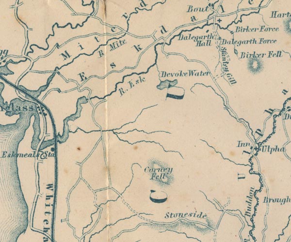 GAR2SD19.jpg "R. Esk" item:- JandMN : 82.1 Image © see bottom of page |
|||
|
|
||||
| evidence:- | perhaps old photograph:- Bell 1880s-1940s |
|||
| source data:- | Photograph, sepia, head of Eskdale, and Sca Fell, Cumberland, by Herbert Bell, photographer,
Ambleside, Westmorland, 1890s.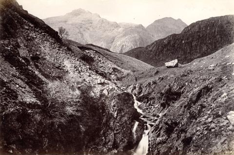 click to enlarge click to enlargeHB0910.jpg item:- Armitt Library : ALPS585 Image © see bottom of page |
|||
|
|
||||
| evidence:- | perhaps old photograph:- Bell 1880s-1940s |
|||
| source data:- | Photograph, black and white, head of Eskdale, and Sca Fell, Cumberland, by Herbert
Bell, Ambleside, Westmorland, 1890s.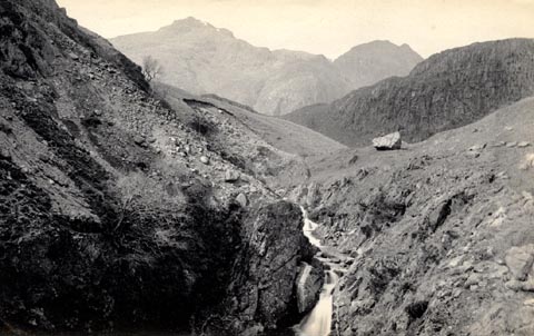 click to enlarge click to enlargeHB0522.jpg item:- Armitt Library : ALPS185 Image © see bottom of page |
|||
|
|
||||
| evidence:- | old map:- Postlethwaite 1877 (3rd edn 1913) placename:- Esk, River |
|||
| source data:- | Map, uncoloured engraving, Map of the Lake District Mining Field, Westmorland, Cumberland,
Lancashire, scale about 5 miles to 1 inch, by John Postlethwaite, published by W H
Moss and Sons, 13 Lowther Street, Whitehaven, Cumberland, 1877 edn 1913.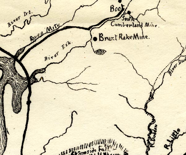 PST2SD19.jpg "River Esk" wiggly line, running into Ravenglass harbour item:- JandMN : 162.2 Image © see bottom of page |
|||
|
|
||||
| evidence:- | old text:- Admiralty 1933 placename:- Esk, River |
|||
| source data:- | goto source Page 385:- "..." "The Irt, Mite, and Esk streams [at Ravenglass Harbour] have their sources near Scafell Pikes in Cumberland, the first from Wast water, 13 miles from Ravenglass; the second near Birnmoor tarn, 8 miles; and the third near Angel tarn, 18 miles." |
|||
|
|
||||
| evidence:- | old postcard:- |
|||
| source data:- | Postcard, sepia coloured photograph, River Esk at Ravenglass, Muncaster, Cumberland,
mid 20th century.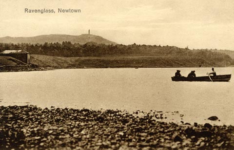 click to enlarge click to enlargePH0101.jpg printed at top:- "Ravenglass, Newtown" item:- JandMN : 969 Image © see bottom of page |
|||
|
|
||||
| evidence:- | old print:- Farington 1816 (plate 25) |
|||
| source data:- | Print, uncoloured engraving, Wastdale Village, drawn by Joseph Farington, engraved
by J Landseer, published by T Cadell and W Davies, Strand, London, 1815.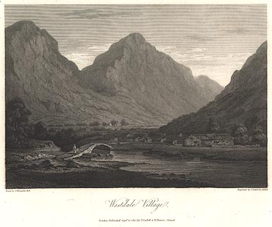 click to enlarge click to enlargeBNV37.jpg Plate 25 in The Lakes of Lancashire, Westmorland and Cumberland ... with text by Thomas Hartwell Horne. item:- private collection : 76 Image © see bottom of page |
|||
|
|
||||
| evidence:- | old print:- Farington 1816 (plate 26) placename:- Esk, River |
|||
| source data:- | Print, uncoloured engraving, Muncaster Castle and Eskdale, drawn by Joseph Farington,
engraved by John Pye, published by T Cadell and W Davies, Strand, London, 1815.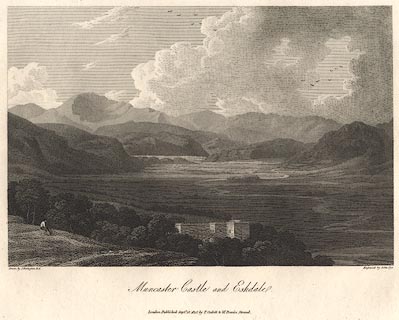 click to enlarge click to enlargeBNV38.jpg Plate 26 in The Lakes of Lancashire, Westmorland and Cumberland ... with text by Thomas Hartwell Horne:- "[Muncaster Castle] stands on an eminence, ... commanding in front a fine view of the Vale of Esk, flanked on each side, and terminated in front, by the wildest mountain scenery. ... The River Esk, which gives its name to Eskdale, is formed by some small streams which rise near Bow-fell; it falls into the sea at Ravenglass, after a course of about thriteen miles." item:- private collection : 75 Image © see bottom of page |
|||
|
|
||||
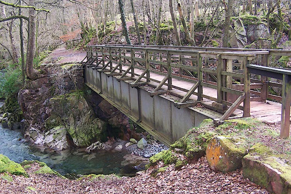
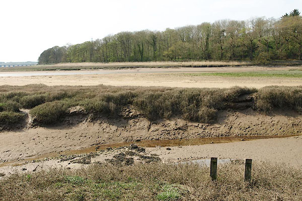
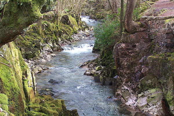
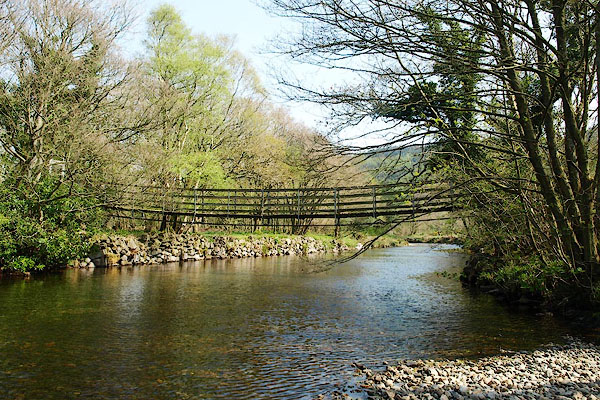
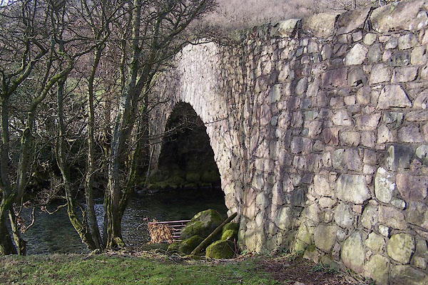
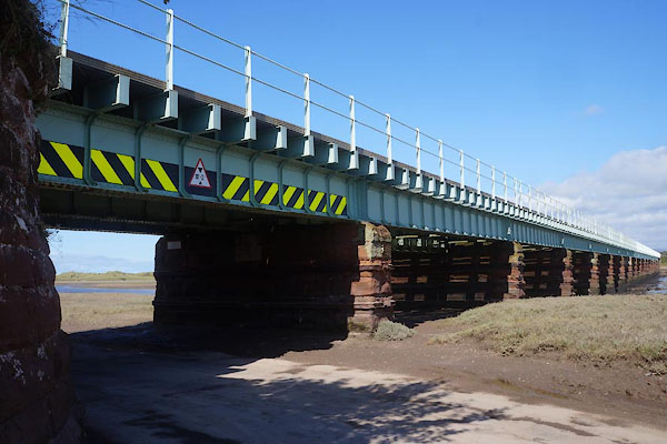
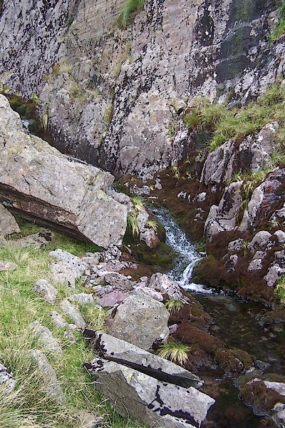 BRM64.jpg Near the head of the river. (taken 14.9.2009) 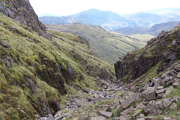 BRM65.jpg Near the head of the river. (taken 14.9.2009) 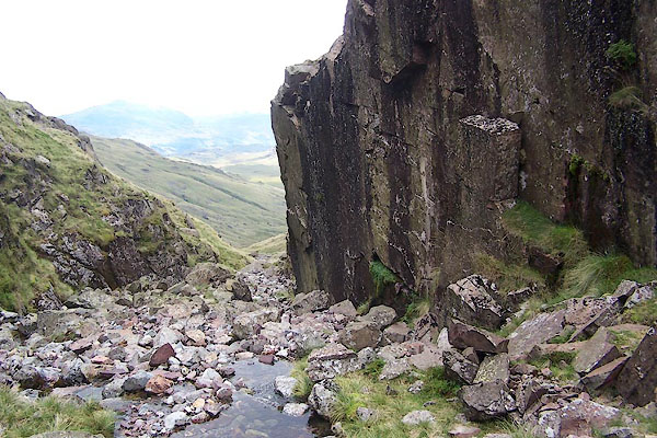 BRM66.jpg Near the head of the river. (taken 14.9.2009) 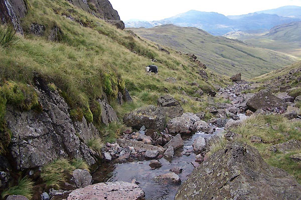 BRM67.jpg Near the head of the river. (taken 14.9.2009) 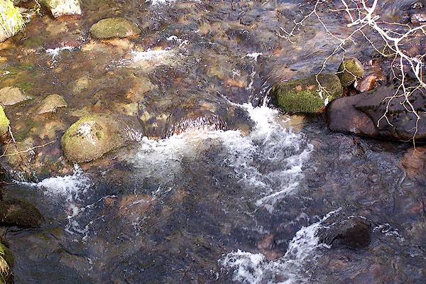 BNJ30.jpg At Beckfoot Bridge, Eskdale. (taken 14.3.2007) 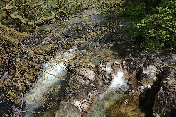 CDE95.jpg At Doctor's Bridge, Eskdale. (taken 4.6.2015) 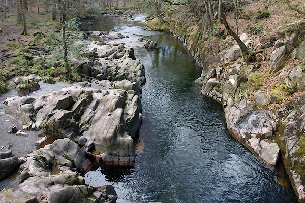 BYF37.jpg At Trough House Bridge, Eskdale. (taken 27.4.2013) 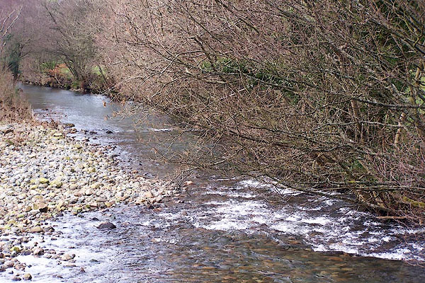 BNJ21.jpg Below Forge Bridge, Eskdale. (taken 14.3.2007) 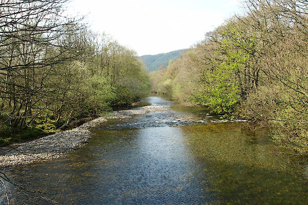 BQK60.jpg At a ford, Muncaster. (taken 14.3.2007) 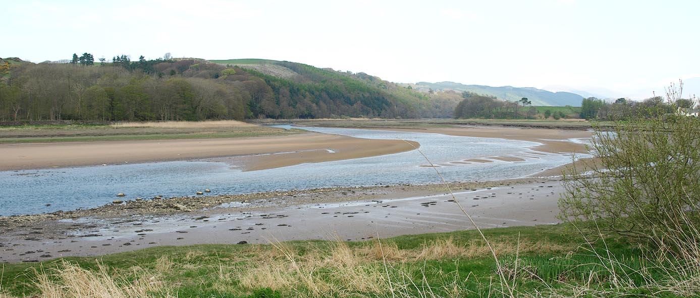 Click to enlarge BQK55.jpg At Hall Waberthwaite. (taken 17.4.2009) |
||||
|
|
||||
| places:- |
|
|||
|
||||
|
||||
|
||||
|
||||
|
||||
|
||||
|
||||
|
||||
|
||||
|
||||
|
||||
|
||||
|
||||
|
||||
|
||||
|
||||
Lakes Guides menu.