 Old Cumbria Gazetteer
 |
 |
|
| Stock's Bridge, Muncaster | ||
| Stock's Bridge | ||
| site name:- | Esk, River (2) | |
| civil parish:- | Muncaster (formerly Cumberland) | |
| county:- | Cumbria | |
| locality type:- | footbridge | |
| locality type:- | bridge | |
| locality type:- | suspension bridge | |
| coordinates:- | SD13099779 | |
| 1Km square:- | SD1397 | |
| 10Km square:- | SD19 | |
|
|
||
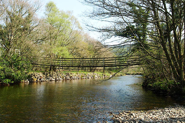 BQK61.jpg (taken 17.4.2009) 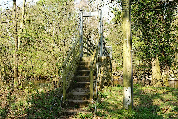 BQK62.jpg (taken 17.4.2009) |
||
|
|
||
| evidence:- | old map:- OS County Series (Cmd 83 5) placename:- Stock's Bridge |
|
| source data:- | Maps, County Series maps of Great Britain, scales 6 and 25
inches to 1 mile, published by the Ordnance Survey, Southampton,
Hampshire, from about 1863 to 1948. |
|
|
|
||
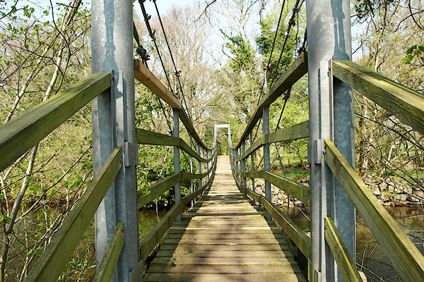 BQK63.jpg (taken 17.4.2009) 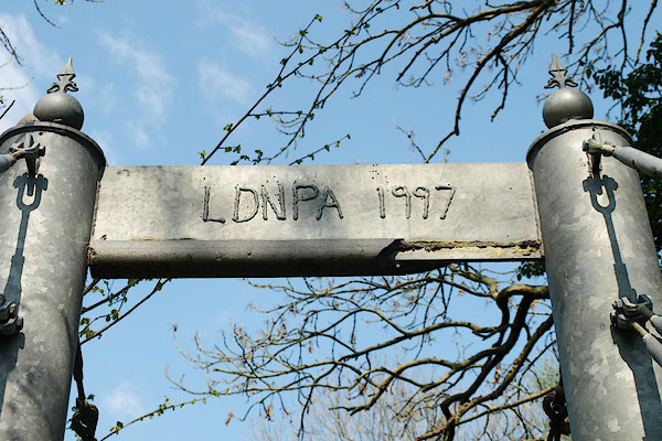 BQK64.jpg Welded maker's name:- "LDNPA 1997" (taken 17.4.2009) |
||
|
|
||
 Lakes Guides menu.