


 road, Windermere to Penrith
 road, Ambleside to Penrith
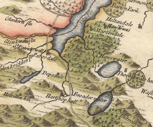
MD10NY41.jpg
Double line.
item:- JandMN : 24
Image © see bottom of page
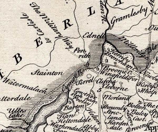
SMP2NYL.jpg
Double line.
item:- Dove Cottage : 2007.38.59
Image © see bottom of page
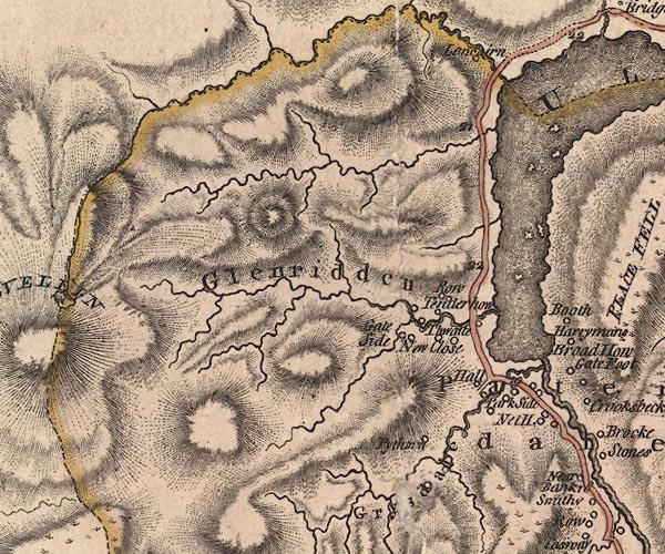
J5NY31NE.jpg
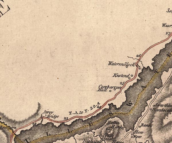
J5NY42SW.jpg
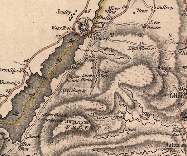
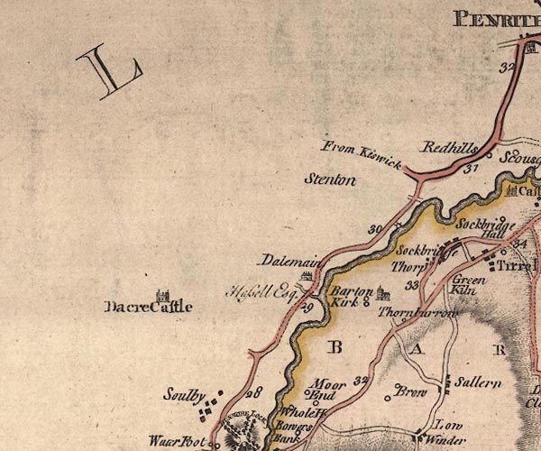
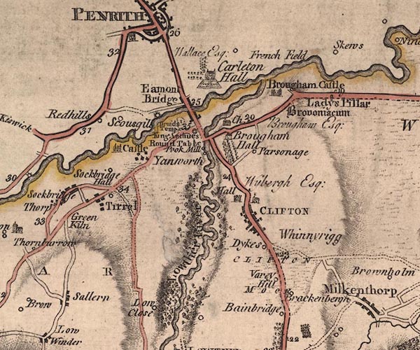
"F. A. to P. 23'4"
'From Ambleside to Penrith 23 miles 4 furlongs'
J5NY42SE.jpg
J5NY42NE.jpg
J5NY52NW.jpg
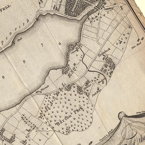
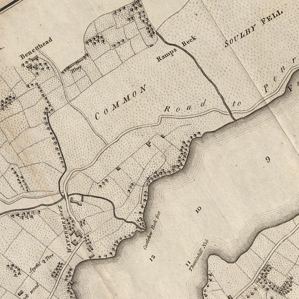
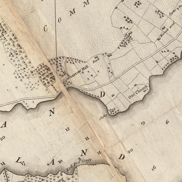
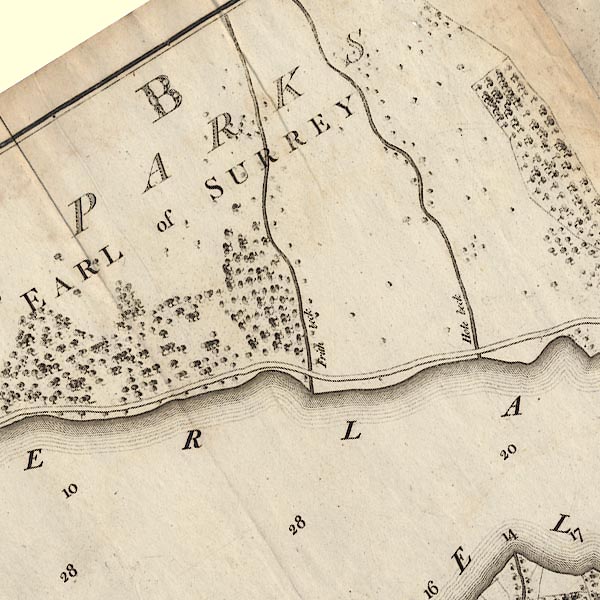
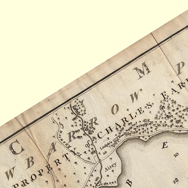
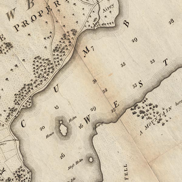
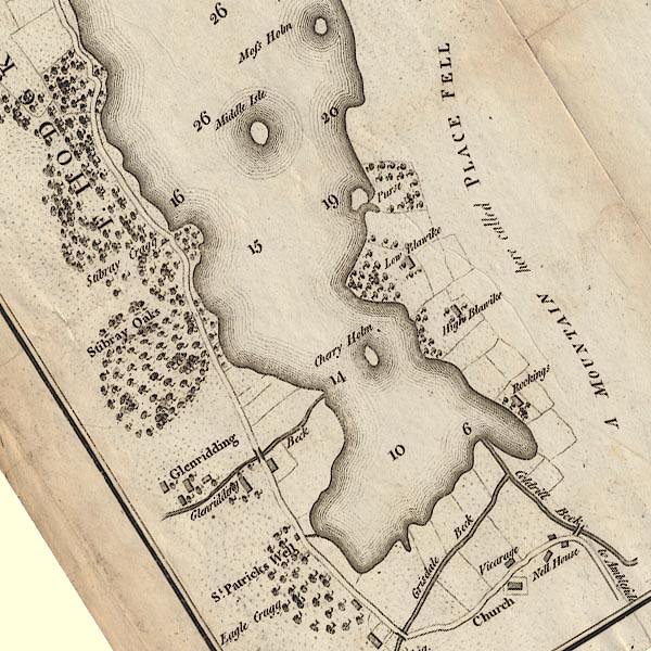
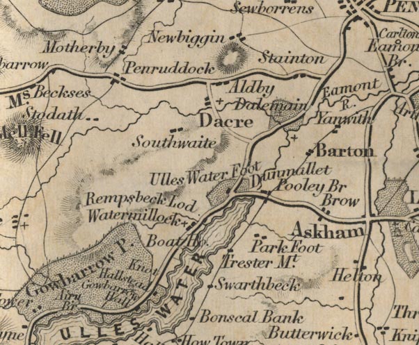
double line; road; main road, with mile numbers
item:- National Library of Scotland : EME.s.47
Images © National Library of Scotland
 goto source
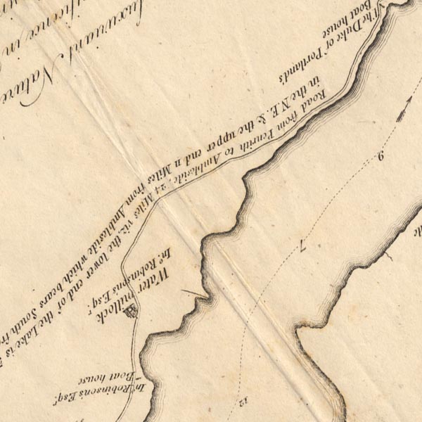
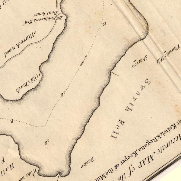
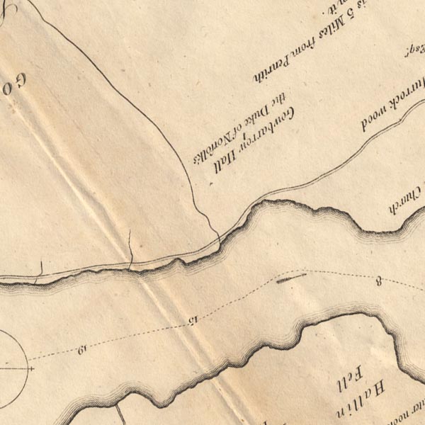
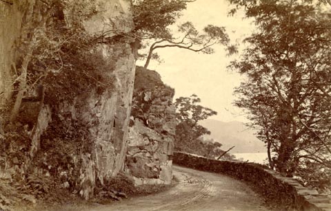
Page 162:- "The higher end of the lake [Ullswater] is fourteen miles from Penrith, and ten from Ambleside, of good turnpike road, save only at Styboar-crag, where it is cut into the rock that awfully overhangs it, and is too narrow."
CT5NY42L.jpg
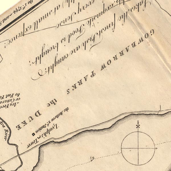
"Road from Penrith to Ambleside, 24 Miles viz. the lower end of the Lake is 5 Miles from Penrith in the N.E. &the upper end 11 Miles from Ambleside which bears South from it."
CT5NY42K.jpg
CT5NY42F.jpg
CT5NY42A.jpg
item:- Armitt Library : 1959.191.7
Image © see bottom of page
 click to enlarge
PR0457.jpg
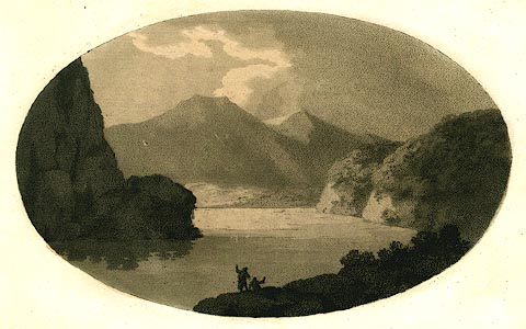
Included in vol.2 opposite p.53 in Observations, Relative Chiefly to Picturesque Beauty, made in the year 1772.
The list of plates in the preface of the book has:- "XVIII. This print illustrates that kind of scenery, which is presented by Ulleswater. It is, by no means, a portrait: but it gives some idea of the view towards Patterdale, in which the rocky promontory on the left, and the two woody promontories on the right, are conspicuous features."
item:- Dove Cottage : 2008.107.425
Image © see bottom of page
 goto source
vol.2 p.56 "..."
"Having spent some time in examining this very inchanting scene, we skirted the lake towards Patterdale, on a tolerable road, which runs from one end of it to the other: on the south it is continued to Ambleside; on the north to Penrith. I call it a tolerable road; but I mean only for horses. It has not the"
 goto source
vol.2 p.57 "quartering and commodious width of a carriage road."
"As we left Gobray-park, we took our rout along the margin of the first of those woody promontories on the right. We were carried by the side of the lake, through close lanes, and thick groves: yet not so thick, but that we had every where, through the openings of the trees, and windings of the road, views in front, and on the right, into woody recesses; some of which were very pleasing: and on the left, the lake, and all it's distant furniture, broke frequently upon us."
"..."
 goto source
vol.2 p.83 "..."
"I cannot leave the scenes of Ulleswater, without taking notice of an uncommon fish, which frequents it's waters; and which is equally the object of the naturalist, and of the epicure. It is of the trout-species; beatifully clad in scales of silver; firm, and finely"
 goto source
Page 22:- "..."
"WE will next proceed towards Ulswater, being the first Lake on the Cumberland side of Emont, distant from Penrith 5 1-half miles. The road is extremely pleasant, winding along the banks of the Emont, through a pleasing scene of culture, and exhibiting at almost every step a new and striking landscape. A little beyond the second mile-post there is, on the left-hand of the road, an ancient cairn, said to have been raised over a Roman General who was interred here, ..."
"..."
 goto source
Page 39:- "..."
"It makes an agreeable variety to return to Penrith down the Westmorland side of the river, and more so, as the distance is nearly equal. One small inconvenience there is indeed, I mean the number of cross roads; but by the help of my plan, No.3 there is no danger of losing the road. ..."
CL4NY42R.jpg
CL4NY42L.jpg
CL4NY42F.jpg
CL4NY42A.jpg
CL4NY32V.jpg
CL4NY31Z.jpg
CL4NY31Y.jpg
"Road to Penrith"
item:- private collection : 10.4
Image © see bottom of page
item:- echoes
 goto source
page 110:- "Penrith, it will be conveniently seen on their progress from that place to Ambleside, which is twenty-four miles; eighteen or nineteen of this ride (from Penrith to Brother Water) are by turns beautiful and sublime."
"..."
 goto source
page 113:- "..."
"Nothing can exceed the dresses and the decorations of this sublimity; the whole space from Gow-barrow to the inn at Patterdale is one rich scene of vegetation; oak, ash, birch, alder, and other trees of stately growth, and in the wildest luxuriance, undulating, and impending over the rocky protuberances every where starting from the mountains, render this the loveliest ride amongst the lakes."
"Those who post through this country see little: Many travellers would fly as on "the wings of the wind," unless opposed by such stubborn bits of stuff as Kirkstone and the Raise, or by Whinlatter: with how much more of refined pleasure would a tour be per-"
 goto source
page 114:- "[per]formed, were they occasionally to alight and "range the fields," either as directed, or at pleasure, where, on some commanding knoll, they might watch the progress of the clouds upon the face of the mountains, or their inverted summits as reflected in the crystal mirror; or see the declining sun with his warm rays, gilding the rocks and trees, which, gradually losing their brilliant hues, sink, at length, into complete obscurity."
"What enjoyment can be derived by such as, lolling in their coaches or their chariots, are confined to the vision of their windows! Many so bevehicled have passed from Keswick to Ambleside, and from Ambleside to Penrith, uniformly leaving the finest views behind them."
"A sociable is a better conveyance, unless it be on the barouche seat, than a coach or a post-chaise; and as heavy carriages are unfit for rough roads"
page 115:- "the lake innkeepers ought to accommodate their guests with, not only sociables, but carts on the sociable construction; the carts to be drawn by single horses, and managed by drivers well acquainted with the country."
"Human ingenuity cannot devise a method by which the monotonies of life would be more pleasantly diversified than by such occasional jaunting: On any little eminence, a tent might be planted in a moment, and from the larder and bins of the cart refreshment procured; at the pleasure of the party, plaintive solos on the clarionet or flute would have a fine effect among the rocks, which, during intervals of rest, would echo back in soft reverberation, the melancholy notes, and produce on the mind an union of the most pleasing sensations."
"For such excursions, ten or twelve hours would be little enough for most people."
"..."
 goto source
page 118:- "[there is a plea]sant road up the southern side of Ulls Water, from Powley Bridge to Patterdale, but this is only a horse and foot-road; it is not, however, a very safe horse road under Place Fell."
 goto source
page 29:- "... Nothing can exceed the dresses and decorations of this sublimity; the whole space from Gowbarrow to the Inn at Patterdale is one rich scene of vegetation; oak, ash, birch, alder, and other trees of stately growth, and in the wildest luxuriance, undulating and impending over the rocky protuberances every where starting from the mountains, render this the loveliest ride among the lakes."
"... ..."
 goto source
page 33:- "From the Inn at Patterdale, which is at the head of Ulls Water, to the Inn at Powley Bridge at its foot, it is ten miles; Powley Bridge is five miles from Penrith, ..."
 goto source
Page 9:- "The only carriage road lies on the north-west side of the water [Ullswater], sometimes on a level with its surface and commanding an unobstructed view; at other times deeply shaded in ancient woods, permitting only occasional glimpses of the lake; ..."
"..."
 goto source
Page 112:- "Ullswater may be visited from Penrith, going either by Eamont Bridge and Tirrel, or by Dalemain, to the Inn at Pooley Bridge; with carriages the former road is generally preferred."
"... the carriage may be driven along the side of the lake, by Watermillock, and through Gowbarrow Parks, by Lyulph's Tower to the inn at Patterdale, 15 miles."
 goto source
Page 136:- "KESWICK TO ULLSWATER."
 goto source
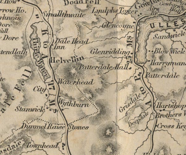
Page 137:- "... after entering Gowbarrow Park, the prospect of Ullswater is presented in one of its richest points of view. Airey Force and Lyulph's Tower lie a little to the left, and it is then five miles of delightful road to the inn at Patterdale. Some who travel in carriages, go from Keswick to Pooley Bridge, and thence to Penrith or Ambleside; but the want of post-horses at Pooley Bridge is sometimes felt as an inconvenience."
| Miles. | Miles. | |
| ... | ||
| 6 | Gowbarrow Park | 17 |
| 5 | Patterdale | 22 |
| Return the same way; or | ||
| 10 | Pooley Bridge | 32 |
| 6 | Penrith | 38 |
FD02NY31.jpg
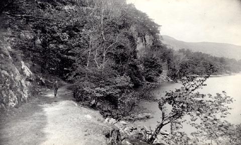
FD02NY42.jpg
item:- JandMN : 100.1
Image © see bottom of page
 click to enlarge
HB0772.jpg
item:- Armitt Library : ALPS435
Image © see bottom of page
 click to enlarge
HB0718.jpg
item:- Armitt Library : ALPS382
Image © see bottom of page
 click to enlarge
IG5177.jpg
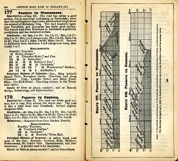
Itinerary, with gradient diagram, route 177, Penrith to Windermere, and route 178, Penrith to Keswick, Westmorland and Cumberland, 1898.
item:- JandMN : 763.14
Image © see bottom of page
 click to enlarge
RUM116.jpg
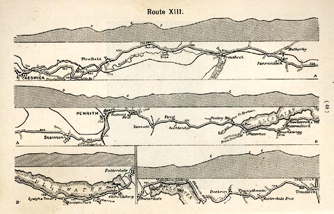
On p.48 of the Cyclist's Guide to the English Lake District, by A W Rumney.
printed at top:- "Route XIII."
item:- JandMN : 147.17
Image © see bottom of page
 Patterdale
 Pooley Bridge, Barton
 Dalemain, Dacre
 Penrith
 Patterdale
 Pooley Bridge, Barton
 Tirril
 Eamont Bridge, Eamont Bridge
 Penrith
 Patterdale
 Howtown, Martindale
 Pooley Bridge, Barton
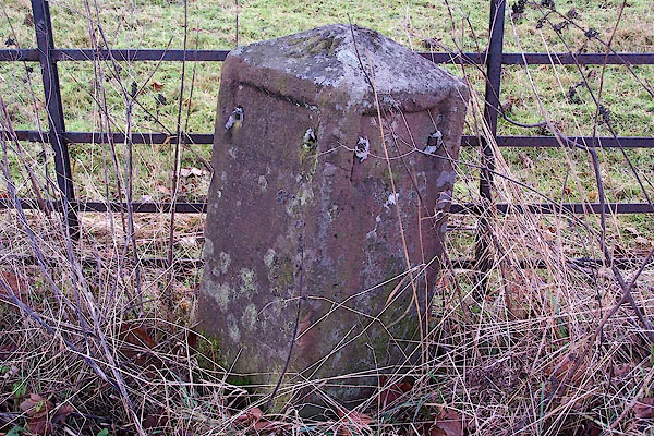 |
NY47962691 milestone, Dacre (Dacre) |
